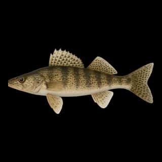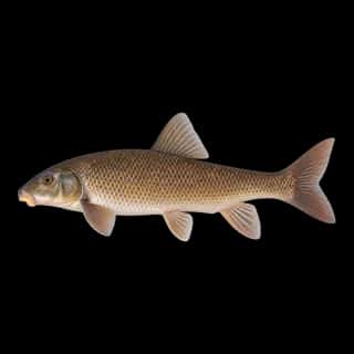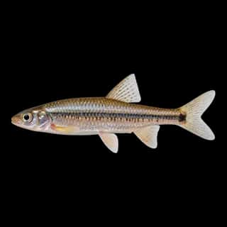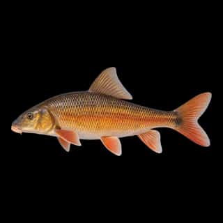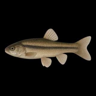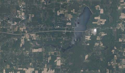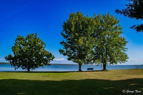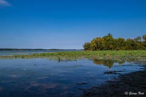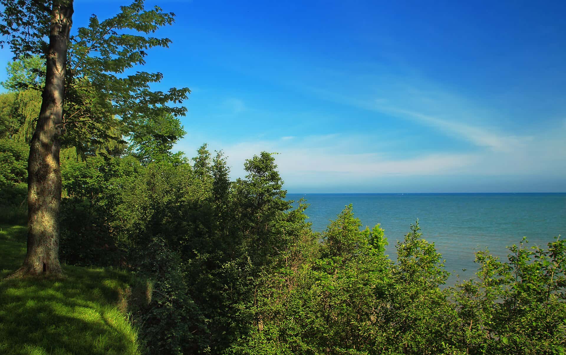
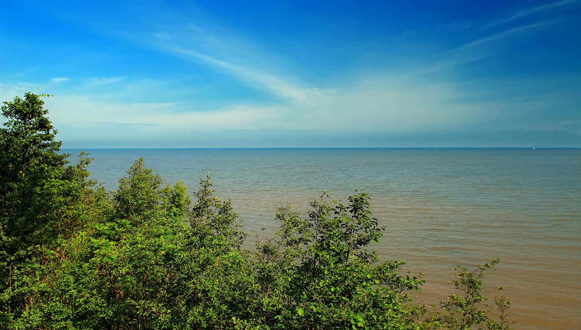
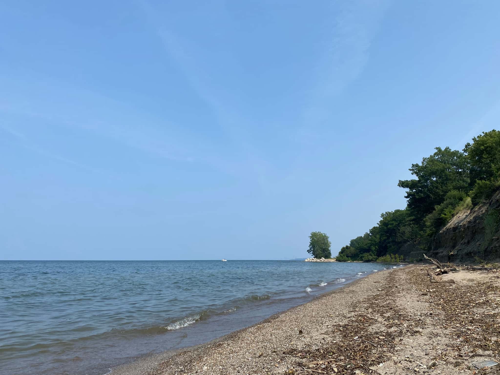
Lake Erie fishing: Largemouth Bass, Walleye, Smallmouth Bass
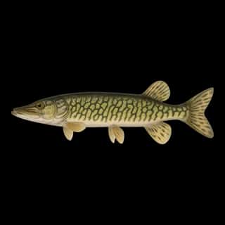
Target species: Largemouth Bass, Walleye, Smallmouth Bass, Northern Pike, Muskellunge, Rainbow Trout, Brook Trout
Best months: Jun, Jul, Aug, Sep for Largemouth Bass
Second window: May, Jun, Sep, Oct for Walleye
Boat: 131 ramps and launches on file for this water.
Start here: Launch at Sterling State Park Bartnik, 10 lanes.
The lake
Lake Erie covers 6,360,010 acres in Ohio, across 5 counties: Ottawa, Erie, Lucas, Cuyahoga and Lake. It is a lake: 91.5% of it is 100 feet deep or less; the deepest figure on record is 207 feet (63 m), as published by NOAA NCEI Great Lakes, a figure without a map of the bottom. Our records hold 57 species for this water. 40% of the water lies in Pennsylvania. 10% of the water lies in Michigan. 7% of the water lies in New York.
131 ramps and launches on this water
On this water we hold 7 trailer ramps, 124 boat ramps and 3 shore access points.
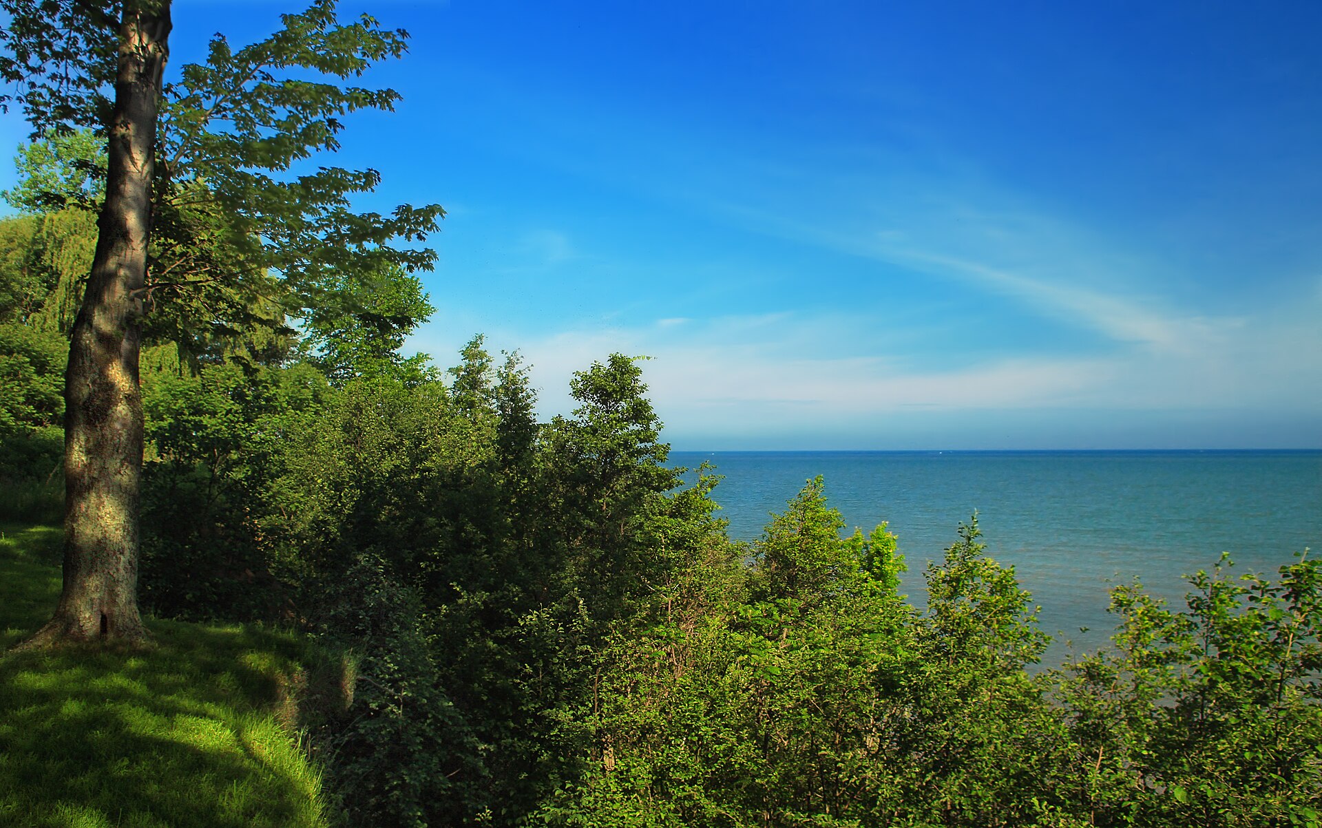
- Catawba Island State Park — 4 lanes. Port Clinton, ODNR Division of Parks & Recreation. 4049 E. Moore's Dock Rd., Port Clinton 43452- · phone (419) 797-4530 · website parks.ohiodnr.gov
- Sturgeon Point — 4 lanes, restrooms. Derby, Western New York PRISM. 618 Sturgeon Point Rd, Derby, NY 14047 · website townofevansny.gov/departments/parks-department/sturgeon-point-marina
- Anchors Away Marina — Marblehead, Anchors Away Marina. 5925 Saylor Road, Marblehead 43440- · phone (419) 734-1395 · website anchorsawaymarina.com · hours: 7A - 7P
- Bass Haven Marina — open around the clock. Marblehead, Bass Haven Marina. 6657 E. Harbor Road, Marblehead 43440- · phone (419) 734-2544 · website basshavenmarina.com
- Battery Park Marina — Sandusky, Battery Park Marina. 701 E. Water Street, Sandusky 44870- · phone (419) 625-6142 · website batterypark.com · hours: May,Sept,Oct 8A-6P;June-Aug 8A-9P;Sun 8A-6P
- Bay Harbor Marina — Vickery, Bay Harbor Marina. 5950 Bay Blvd (County Road 283), Vickery 43464- · phone (419) 684-7776 · website bayharbormarina-ohio.com
- Bay Harbor Public Ramp — City Of Erie, Erie Port Authority. website fishandboat.com/About-Us/PFBC-by-Region/PFBC-Lakes/Pages/LakeErie.aspx
- Bayshore Wildlife Access — Oregon, ODNR Division of Wildlife - District 2. Bayshore Rds., Oregon 43618- · phone (419) 429-8370 · website wildlife.ohiodnr.gov
- Beaver Park North — open around the clock. Lorain, Beaver Park North. 6000 W Erie Ave, Lorain 44053- · phone (440) 282-1720
- Boardwalk Marina — Put-In-Bay, Boardwalk Marina. 341 Bayview, Put-In-Bay 43456- · phone (419) 285-6183 · website the-boardwalk.com · hours: 9A-6P
Shore access for bank fishing
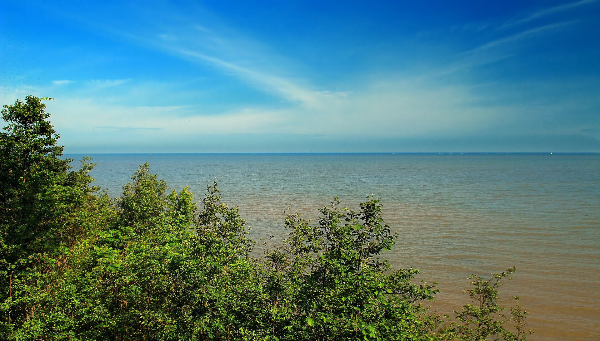
- Avonia Beach — Fairview Township. website fishandboat.com/About-Us/PFBC-by-Region/PFBC-Lakes/Pages/LakeErie.aspx
- Charley's Boat Livery — North East Township. website fishandboat.com/About-Us/PFBC-by-Region/PFBC-Lakes/Pages/LakeErie.aspx
- Elk Creek Access — Girard Township, PFBC. website fishandboat.com/About-Us/PFBC-by-Region/PFBC-Lakes/Pages/LakeErie.aspx
Fee and opening hours are blank for all 13 places in this list: a blank means we hold no such field, not that it is free or always open, and this list may not be complete.
7 target fish, led by Largemouth Bass
- Largemouth Bass — Best months: Jun, Jul, Aug, Sep.
- Walleye — Best months: May, Jun, Sep, Oct.
- Smallmouth Bass — Best months: Jun, Jul, Aug, Sep.
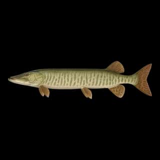
- Northern Pike — Best months: May, Jun, Sep, Oct.
- Muskellunge — Best months: Jun, Jul, Aug, Sep.
- Rainbow Trout — Best months: May, Jun, Oct, Nov.
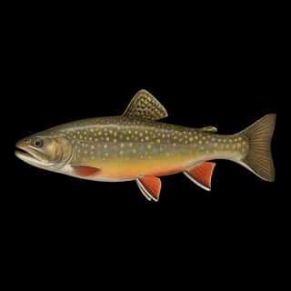
- Brook Trout — Best months: May, Jun, Oct, Nov.
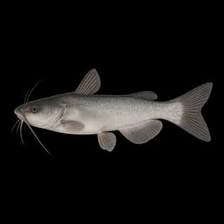
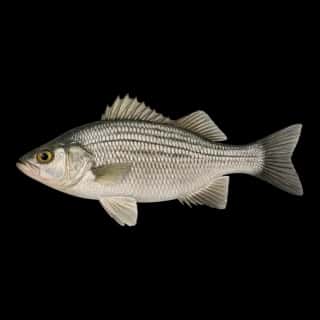
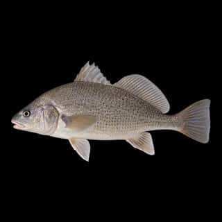
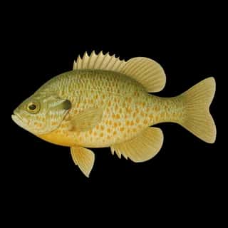
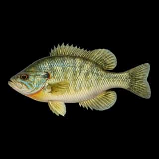
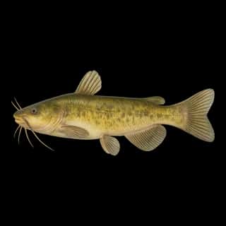
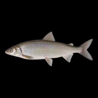
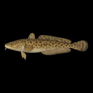
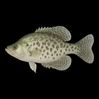
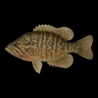
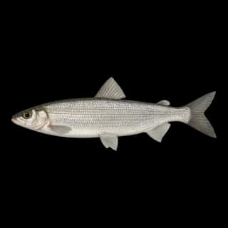
Also recorded here: Channel Catfish, Yellow Perch, Bluegill, Black Crappie, White Sucker, Shorthead Redhorse, Silver Redhorse, Burbot, Golden Redhorse, Lake Whitefish, White Bass, Bigmouth Buffalo, Freshwater Drum, Rock Bass, Pumpkinseed, Black Redhorse, Sauger, Northern Hog Sucker, White Crappie, Green Sunfish.
Stocking: 35,815,570 fish, 1996–2025
USFWS/GLFC records list 35,815,570 fish released into this water from 1996 to 2025.
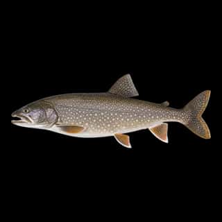
- Lake Trout: 11,030,825 in 2005–2025
- Walleye: 10,435,240 in 2001–2025
- Rainbow Trout: 5,028,151 in 1994–2024
- Yellow Perch: 3,000,000 in 2001–2005
- Brown Trout: 767,389 in 1987–2025
- Brook Trout: 672,525 in 1983–1987
- Muskellunge: 22,000 in 2003–2006
3 more species on the stocking list.
Water and conditions
Water clarity runs 4.9–26 feet on our readings, averaging 14.4 feet, from 218 readings. Our water temperature readings average 68°F; they do not cover the whole year, so this is not a yearly average. The coldest single reading we hold is 33°F and the warmest is 81°F; the warmest monthly average is 74°F. pH averages 8.3. These readings span 2016–2025.
Depth and bottom
Deepest figure on record: 207 ft (63 m), as published by NOAA NCEI Great Lakes. We hold no survey map of this bottom, so we show no depth bands. 91.5% of the water is 100 feet or shallower. We hold 2,506 depth contours for this water, drawn from 3,153,731 soundings.
- 0–2 ft: 0.8% of the water
- 2–4 ft: 0.7% of the water
- 4–6 ft: 0.7% of the water
- 6–8 ft: 0.5% of the water
- 8–10 ft: 0.5% of the water
- 10–12 ft: 0.7% of the water
- 12–15 ft: 1.2% of the water
- 15–20 ft: 2.3% of the water
- 20–25 ft: 3.3% of the water
- 25–30 ft: 4.6% of the water
- 30–40 ft: 9.6% of the water
- 40–60 ft: 21.1% of the water
- 60–80 ft: 42.4% of the water
- 80–100 ft: 3.1% of the water
- 100–150 ft: 5.9% of the water
- 150–200 ft: 2.3% of the water
- 200–207 ft: 0.2% of the water
What is hard here
Wind is the limit, not the fish: 6,360,010 acres of open water build a short steep chop, and there is no shelter in the middle. Clarity swings from 4.9 to 26 feet between our readings — the water you meet is not the water someone photographed.
Where this data comes from
- NOAA National Geodetic Survey / Office for Coastal Management — NOAA topobathymetric lidar DEMs: class A, a survey of the bottom, 2020.
- USACE eHydro — USACE eHydro channel surveys: class A, a survey of the bottom.
- NOAA ENC — NOAA Electronic Navigational Charts: soundings: class A, a survey of the bottom.
- NOAA NOS Hydro — NOAA NOS hydrographic survey archive: class A, a survey of the bottom.
- NOAA NCEI Great Lakes — NOAA Great Lakes bathymetry: class B, a depth figure measured and published by an agency, without a bottom map.
- NOAA ENC — NOAA Electronic Navigational Charts: depth contours: class A, a survey of the bottom.
- NOAA National Bathymetric Source (S-102 ed3.0.0) — NOAA S-102 bathymetric surfaces: contours: class A, a survey of the bottom.