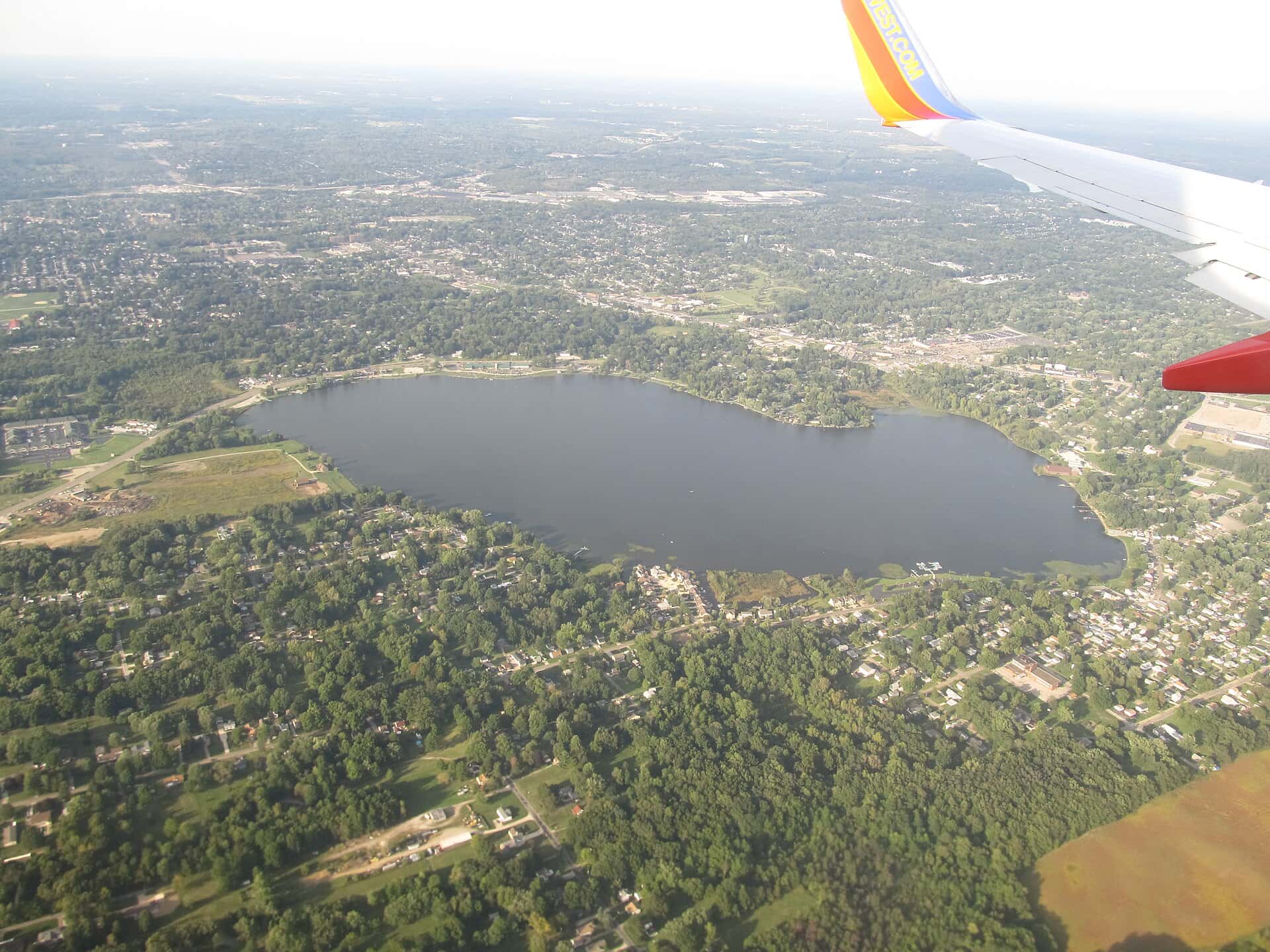
Springfield Lake fishing: Largemouth Bass, Walleye, Channel Catfish
Target species: Largemouth Bass, Walleye, Channel Catfish
Boat: 2 ramps and launches on file for this water.
Start here: Launch at Lakemore Park - James B Dodds Lakefront Park.
The lake
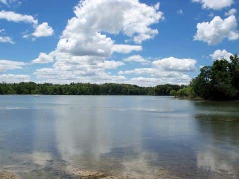
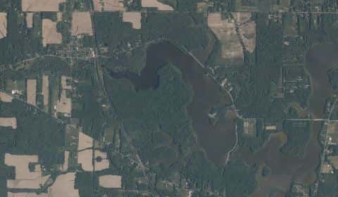
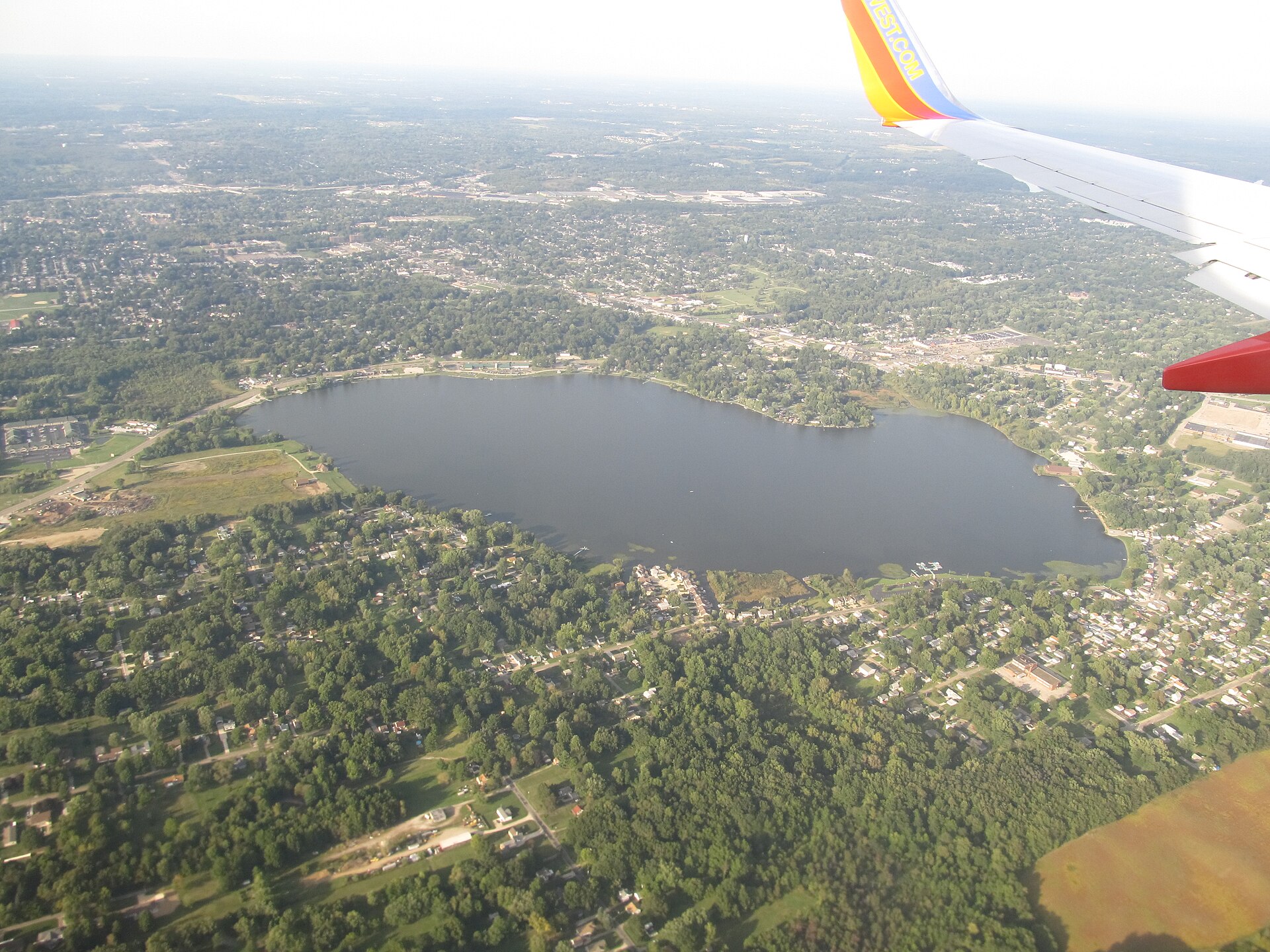
Springfield Lake covers 296 acres in Ohio, across Summit County. It is a lake: 93.7% of it is 22 feet deep or less; the deepest point measured is 29.8 feet (9.1 m). Our records hold 4 species for this water.
Depth: down to 29.8 ft at the deepest measured point
Deepest measured point: 29.8 ft (9.1 m). 93.7% of the water is 22 feet or shallower. We hold 18 depth contours for this water, drawn from 4,870 soundings.
- 0–2 ft: 8.5% of the water
- 2–4 ft: 12.6% of the water
- 4–6 ft: 12.7% of the water
- 6–8 ft: 9.5% of the water
- 8–10 ft: 8.1% of the water
- 10–12 ft: 7.5% of the water
- 12–14 ft: 7.8% of the water
- 14–16 ft: 11.7% of the water
- 16–18 ft: 6.7% of the water
- 18–20 ft: 4.2% of the water
- 20–22 ft: 4.4% of the water
- 22–24 ft: 5.6% of the water
- 24–26 ft: 0.7% of the water
3 target fish, led by Largemouth Bass
- Largemouth Bass — Feeding water: 65–85°F.
- Walleye — Feeding water: 50–75°F.
- Channel Catfish — Feeding water: 70–85°F.
Also recorded here: Common Carp.
Stocking: 217,324 fish, 1977–2020
Ohio DNR Division of Wildlife records list 217,324 fish released into this water from 1977 to 2020. The latest stocking on record is from 2020, more than three years ago.
- Walleye: 152,307 in 1977–2005
- Channel Catfish: 64,517 in 1996–2020
- Largemouth Bass: 500 in 1977
2 ramps and launches on this water
On this water we hold 2 boat ramps.
- Lakemore Park - James B Dodds Lakefront Park — Lakemore, Village of Lakemore. 2425 Lakeside Drive, Lakemore 44250- · phone (330) 784-1616 · website lakemoreohio.org
- Springfield Lake - Springfield Ramp — Akron, Springfield Township - Summit County. 2459 Canfield Road, Akron 44312- · phone (330) 794-1739 · website springtwp.com
Fee and opening hours are blank for all 2 places in this list: a blank means we hold no such field, not that it is free or always open, and this list may not be complete.
What is hard here
Only 2 public ramps are on file, so the launch decides where you fish.
Where this data comes from
- Ohio DNR — Ohio DNR: depth contours: class A, a survey of the bottom.
- Webster, K.E., McCullough, I.M., Soranno, P.A. LAGOS-US DEPTH v1.0, EDI, doi:10.6073/pasta/64ddc4d04661d9aef4bd702dc5d8984f (CC BY 4.0); Cheruvelil et al. LAGOS-US LOCUS v1.0 (EDI) — LAGOS-US DEPTH v1.0: Lake depth for 17,675 lakes in the conterminous U.S.: class B, a depth figure measured and published by an agency, without a bottom map.