Mosquito Creek Lake fishing: Largemouth Bass, Walleye, Channel Catfish
Target species: Largemouth Bass, Walleye, Channel Catfish
Boat: 10 ramps and launches on file for this water.
Start here: Launch at Causeway Sport Shop.
The reservoir
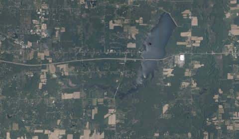
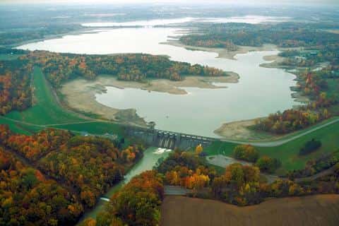
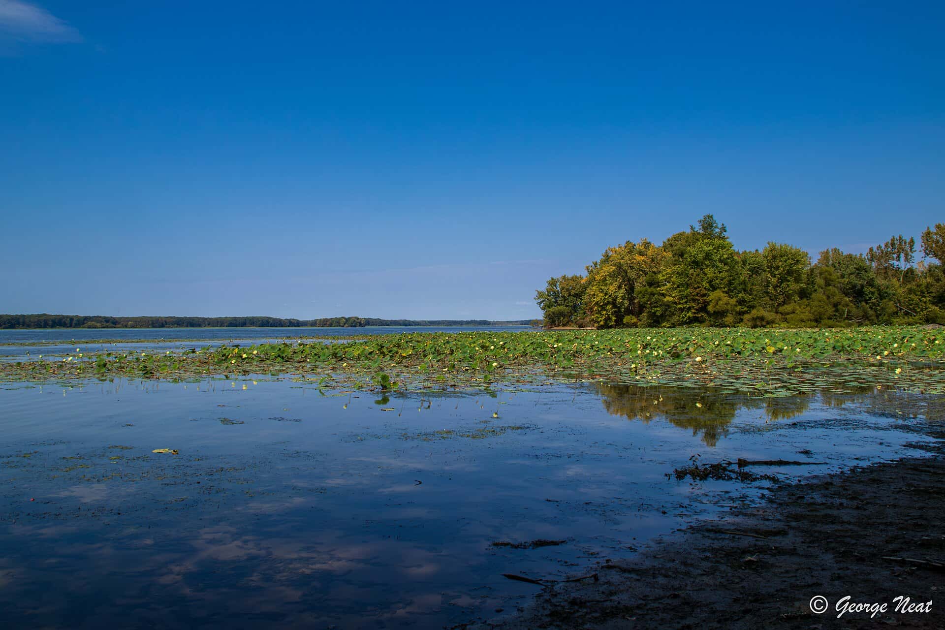
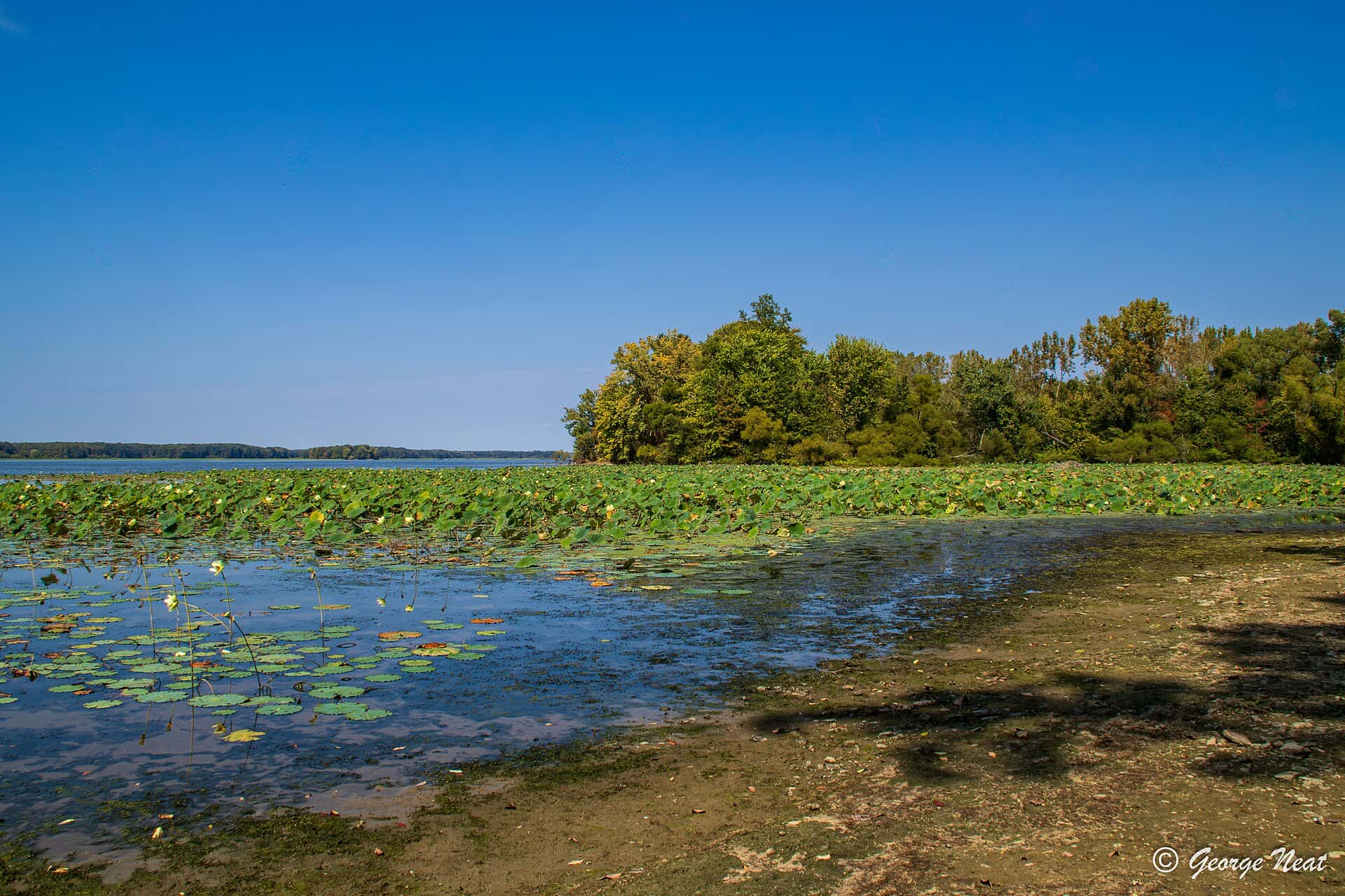
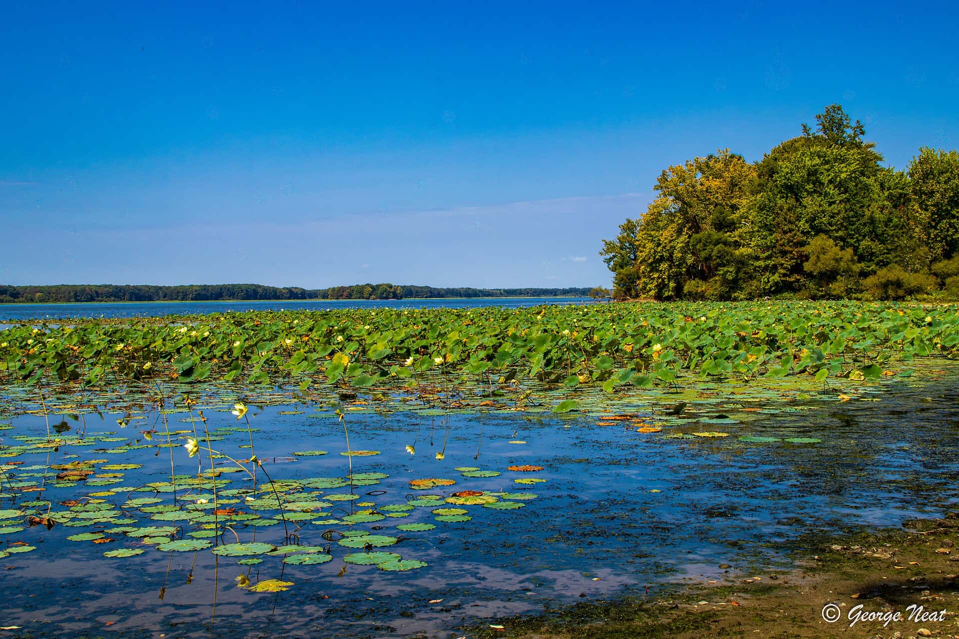
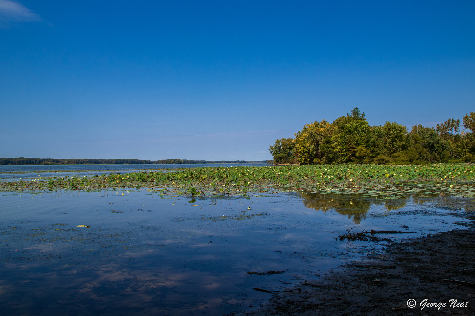
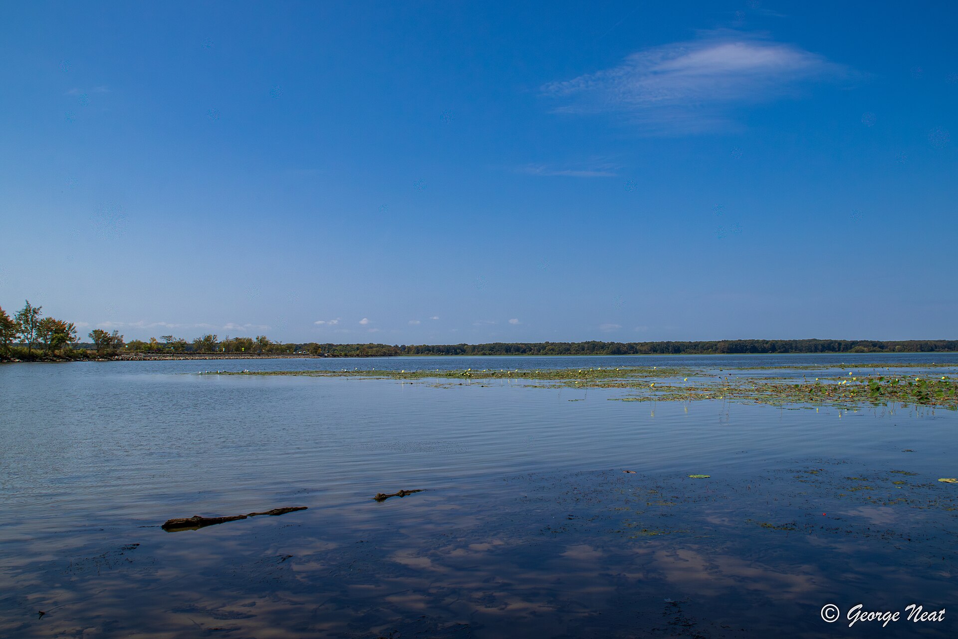
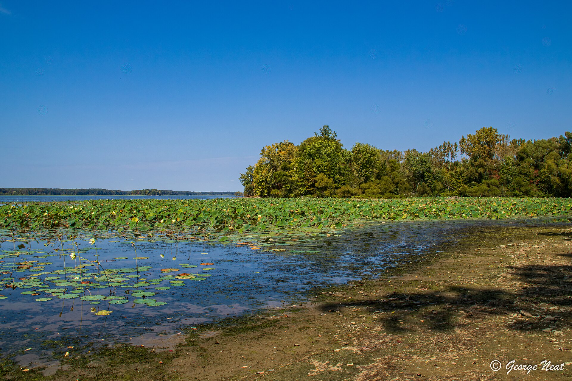
Mosquito Creek Lake covers 7,155 acres in Ohio, across Trumbull County. It is a reservoir: 95.6% of it is 20 feet deep or less; the deepest point measured is 26.4 feet (8 m). Our records hold 3 species for this water.
Depth: down to 26.4 ft at the deepest measured point
Deepest measured point: 26.4 ft (8 m). 95.6% of the water is 20 feet or shallower. We hold 83 depth contours for this water, drawn from 77,566 soundings.
- 0–2 ft: 6.3% of the water
- 2–4 ft: 11.6% of the water
- 4–6 ft: 13.4% of the water
- 6–8 ft: 11.9% of the water
- 8–10 ft: 11.4% of the water
- 10–12 ft: 12.3% of the water
- 12–14 ft: 8.1% of the water
- 14–16 ft: 7.7% of the water
- 16–18 ft: 7.2% of the water
- 18–20 ft: 5.7% of the water
- 20–22 ft: 3.9% of the water
- 22–24 ft: 0.5% of the water
3 target fish, led by Largemouth Bass
- Largemouth Bass — Feeding water: 65–85°F.
- Walleye — Feeding water: 50–75°F.
- Channel Catfish — Feeding water: 70–85°F.
10 ramps and launches on this water
On this water we hold 10 boat ramps.
- Causeway Sport Shop — Mecca Twp, Causeway Sport Shop. State Route 88, Mecca Twp 44410- · phone (330) 637-7076 · website causewaysportinggoods.com
- Dockside Marina — Cortland, Dockside Marina. 6083 State Rt. 46, Cortland 44410-
- Mahan-Demen Wildlife Ramp — Cortland, ODNR Division of Wildlife-District Three. Mahan-Denmen Road, Cortland 44410- · phone (330) 644-2293 · website wildlife.ohiodnr.gov
- Mosquito Creek - Corps of Engineers Ramp (RTE 305) — on Mosquito Lake, Cortland, US Army Corps of Engineers. State Route 305, Cortland 44410-9303 · phone (330) 637-1961 · website orh.usace.army.mil
- Mosquito Lake State Park - Campgrounds Ramp — Cortland Rd, ODNR Division of Parks & Recreation. State Route 305 & Hogland Blackstub Rd., Cortland Rd 44410-9303 · phone (330) 637-2856 · website parks.ohiodnr.gov
- Mosquito Lake State Park - Hillside Cemetary Access — Cortland, Mosquito Lake State Park. Cortland West Main St. to the lake 44410- · phone (330) 637-2856 · website parks.ohiodnr.gov
- Mosquito Lake State Park - Main Park Ramp — on Mosquito Lake, Cortland, ODNR Division of Parks & Recreation. North on Durst Rd just past SP office first right, Cortland 44410- · phone (330) 637-2856 · website parks.ohiodnr.gov
- Mosquito Lake State Park - Marina Concession Ramp — on Mosquito Lake, Cortland, Division of Parks and Recreation. North on Durst Dr. past the Park office on the right, Cortland 44410- · phone (330) 637-2856 · website parks.ohiodnr.gov
- Mosquito Lake State Park ACE — Cortland, ODNR Division of Parks & Recreation. west of State Route 46 & SR 88, Cortland 44410-9303 · phone (330) 637-2856 · website parks.ohiodnr.gov
- Pikie Bay — Cortland, Pikie Bay. 7100 Hoagland-Blackstub Rd, Cortland 44410-
Fee and opening hours are blank for all 10 places in this list: a blank means we hold no such field, not that it is free or always open, and this list may not be complete.
Stocking: 484,350,136 fish, 1993–2022
Ohio DNR Division of Wildlife records list 484,350,136 fish released into this water from 1993 to 2022. The latest stocking on record is from 2022, more than three years ago.
- Walleye: 484,320,136 in 2003–2022
- Channel Catfish: 20,000 in 1973
- Largemouth Bass: 10,000 in 1973
What is hard here
Wind is the limit, not the fish: 7,155 acres of open water build a short steep chop, and there is no shelter in the middle.
Where this data comes from
- Ohio DNR — Ohio DNR: depth contours: class A, a survey of the bottom.
- USACE CWMS — USACE CWMS elevation-area curves: class B, a depth figure measured and published by an agency, without a bottom map.
- Webster, K.E., McCullough, I.M., Soranno, P.A. LAGOS-US DEPTH v1.0, EDI, doi:10.6073/pasta/64ddc4d04661d9aef4bd702dc5d8984f (CC BY 4.0); Cheruvelil et al. LAGOS-US LOCUS v1.0 (EDI) — LAGOS-US DEPTH v1.0: Lake depth for 17,675 lakes in the conterminous U.S.: class B, a depth figure measured and published by an agency, without a bottom map.