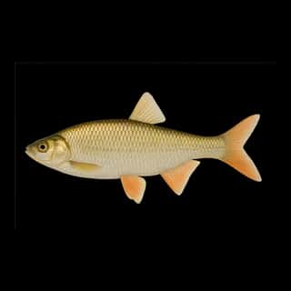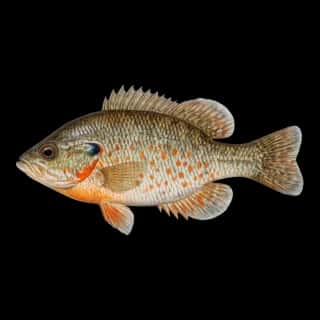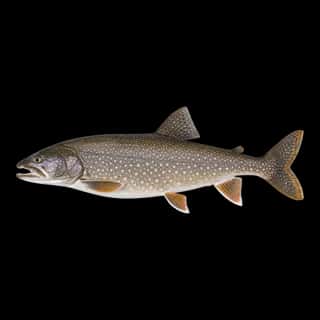
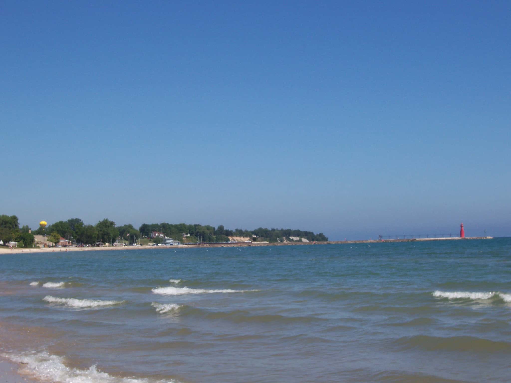
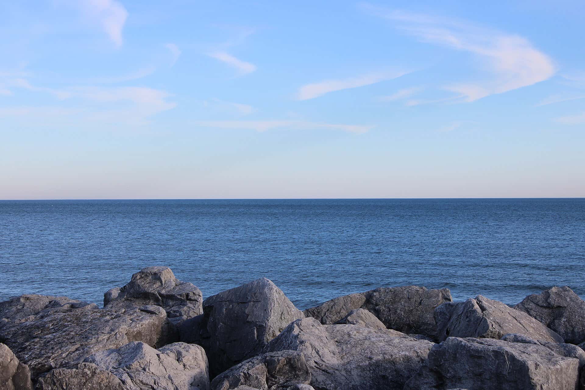
Lake Michigan fishing: Northern Pike, Atlantic Salmon, Largemouth Bass
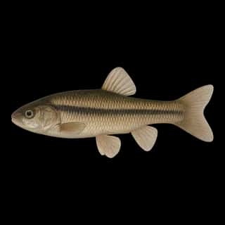
Target species: Northern Pike, Atlantic Salmon, Largemouth Bass, Rainbow Trout, Walleye, Brook Trout, Smallmouth Bass
Best months: Apr, May, Jun, Sep for Northern Pike
Second window: Oct, Nov for Atlantic Salmon
Boat: 117 ramps and launches on file for this water.
Start here: Launch at Loomis Street, 8 lanes.
The lake
Lake Michigan covers 14,296,859 acres in Michigan, across Mason County. It is a lake: the deepest figure on record is 902 feet (275 m), as published by NOAA NCEI Great Lakes, a figure without a map of the bottom. Our records hold 62 species for this water. 34% of the water lies in Wisconsin. 6% of the water lies in Illinois.
117 ramps and launches on this water
On this water we hold 33 trailer ramps, 82 boat ramps, 2 hand launches and 22 shore access points.
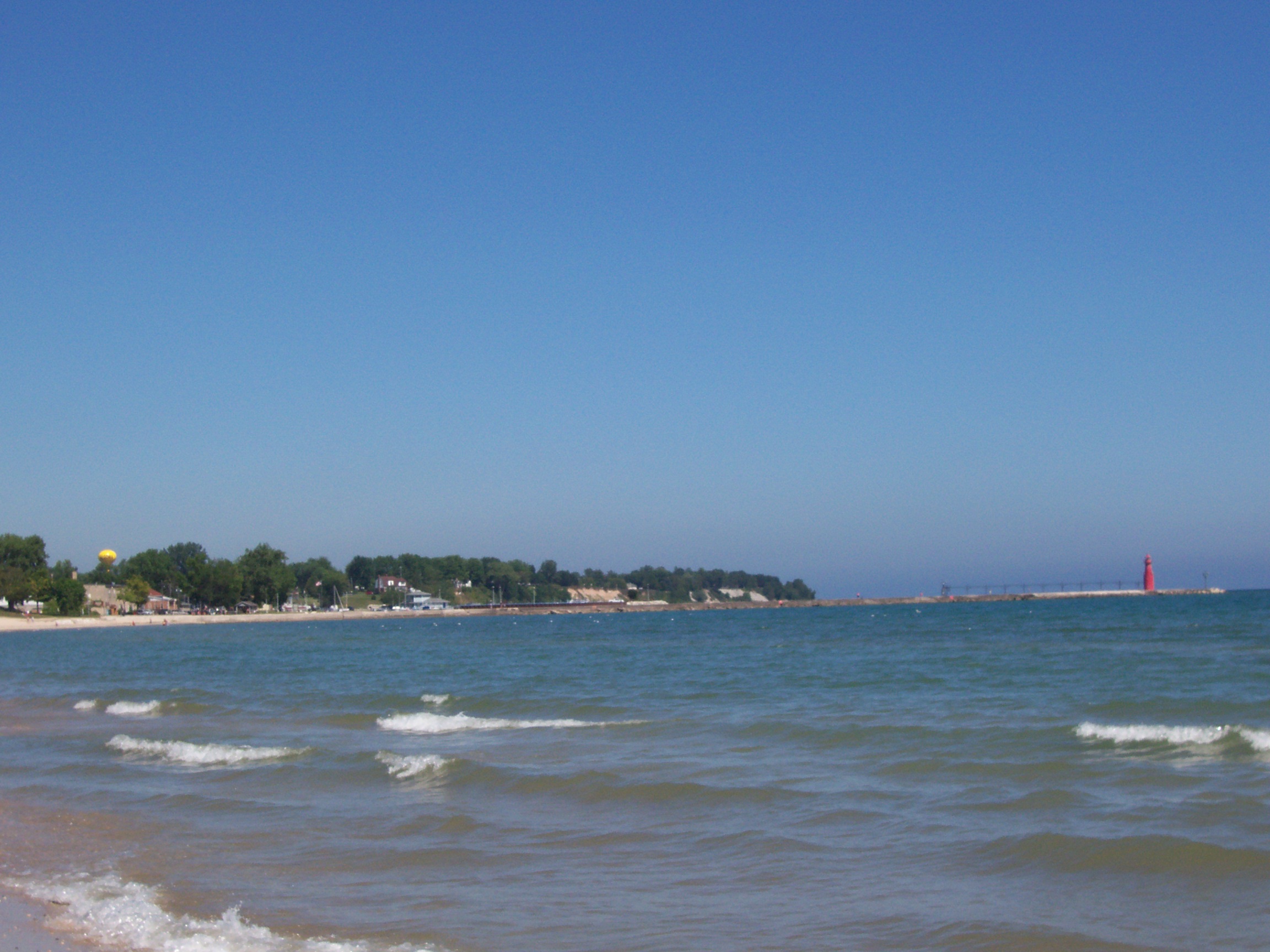
- Elk Rapids — 4 lanes. Elk Rapids, Village of Elk Rapids. 129 North Cedar Street, Elk Rapids 49629 · phone 231-264-9274 · website elkrapids.org/harbor
- Josephine D. Ford Park — 2 lanes. Harbor Springs, City of Harbor Springs. 500 East Bay Street, Harbor Springs 49740 · phone 231-526-5355 · website walstrom.com
- Leland Township Marina — 2 lanes. Leland, Leland Township. 107 North Lake Street, Leland 49654 · phone 231-256-9132 · website lelandmi.com/harbor/leland-harbor.html
- Menominee Municipal — 2 lanes. Menominee, City of Menominee. 920 Doyle Drive, Menominee 49858 · phone 906-863-9747 · website mcgi.state.mi.us/mrbis/BASDetail.aspx?sid=A-55-014
- Northport G. Marsten Dame Marina — 2 lanes. Northport, Village of Northport. 105 South Rose Street, Northport 49670 · phone 231-386-5411
- Petoskey Municipal — 2 lanes. Petoskey, City of Petoskey. 201 Bayfront Drive, Petoskey 49770 · phone 231-347-6691 · website petoskey.us/departments/parks_and_recreation/marina.php
- Fish Creek Ramp — 2 lanes, paid. Town Of Gibraltar, Town of Gibralter. phone 920-868-1714
- Green Bay Access — 1 lane. Town Of Gibraltar, Town of Gibraltar. phone 920-868-1714
- 31st Street Harbor — Chicago, Chicago Harbors. 3155 South Lake Shore Drive, Chicago 60616 · website chicagoharbors.info/harbors/31st-street
- 59th Street Harbor — Chicago, Chicago Harbors. 5900 South Lake Shore Drive, Chicago 60637 · website chicagoharbors.info/harbors/59th-street
Car-top and kayak launches — no trailer
- Nine Mile Point — Young State Park. phone 231-582-7523
- Thompson Creek — open 8am–10pm, restrooms. Indian Lake State Park. phone 906-341-2355 · website mcgi.state.mi.us/mrbis/BASDetail.aspx?sid=A-77-013
Shore access for bank fishing
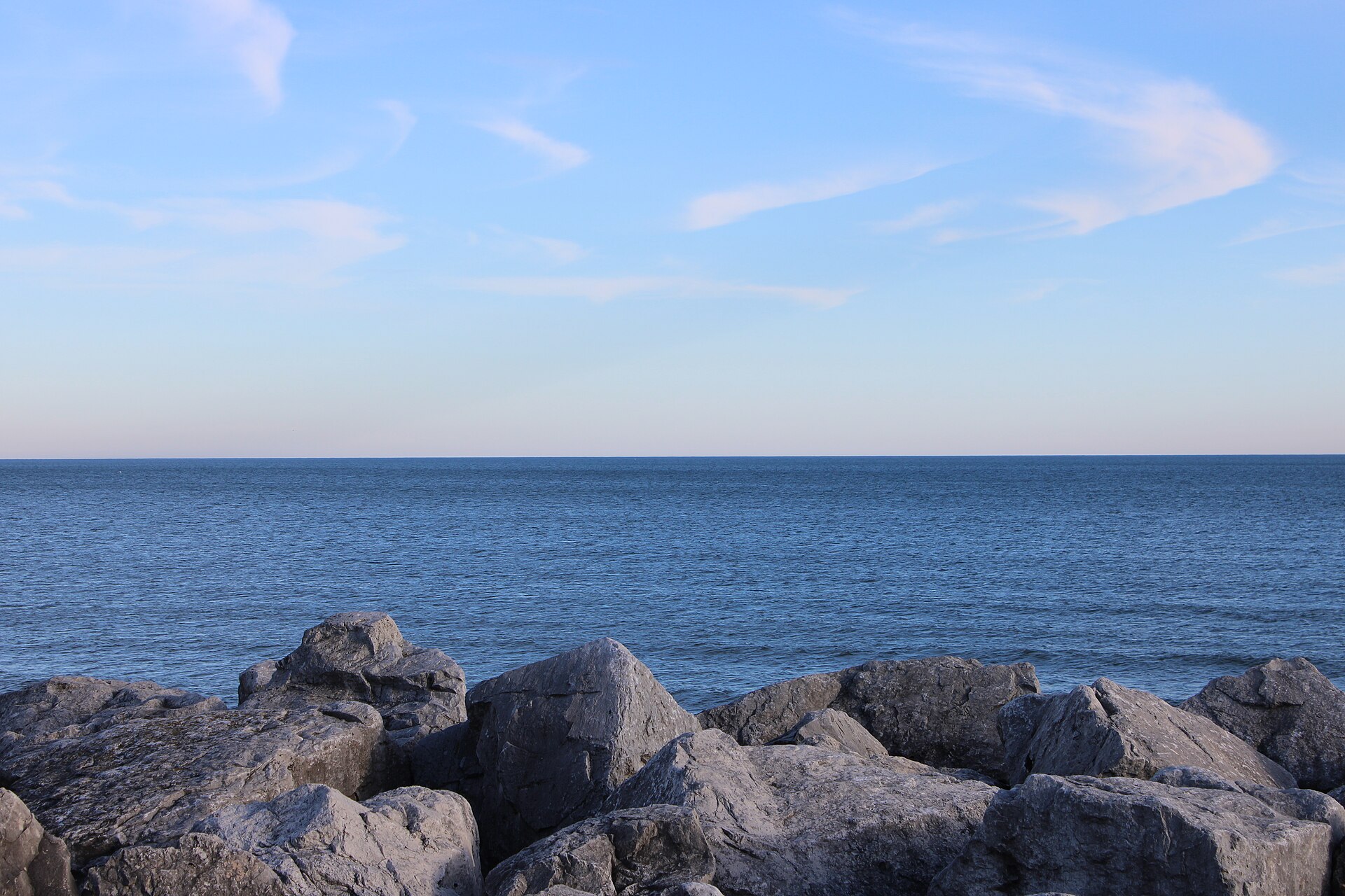
- Cupertino Pier (Russell Avenue Pier) — City Of Milwaukee. website dnrmaps.wi.gov/LF_ShowDetails/shorefishing.aspx?ID=85
- Dock Road Public Access — Town Of Washington, Town of Washington Island. phone 920-847-2522
- Homestead Road Carry-in — Town Of Washington, Town of Washington Island. phone 920-847-2522
- L. Michigan Fishing Pier (E. Chicago) — Division of Fish & Wildlife, Public Access North/ City of East Chicago. East Chicago Marina/Jeorse Park, off Cline Ave. Exit 5C · phone (574) 526-1736
- Lake Michigan Fishing Pier (Hammond) — lit for night fishing, restrooms. Division of Fish & Wildlife, Public Access North/ Hammond Park Dept. Off Indianapolis Bldv., then 0.5 mi. on Empress Ave. · phone (574) 526-1736
- Michigan Road Carry-in — Town Of Washington, Town of Washington Island. phone 920-847-2522
- Old Camp Road Carry-in Access — Town Of Washington, Town of Washington Island. phone 920-847-2522
- Pensaukee Wildlife Area Access — Town Of Pensaukee.
Fee and opening hours are blank for all 20 places in this list: a blank means we hold no such field, not that it is free or always open, and this list may not be complete.
7 target fish, led by Northern Pike
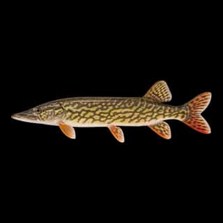
- Northern Pike — Best months: Apr, May, Jun, Sep.
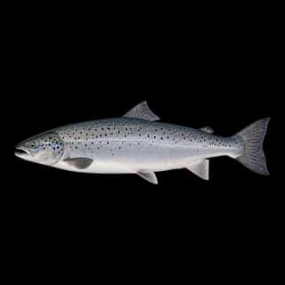
- Atlantic Salmon — Best months: Oct, Nov.
- Largemouth Bass — Best months: Jul, Aug, Sep.
- Rainbow Trout — Best months: Apr, May, Jun, Oct.
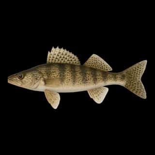
- Walleye — Best months: Apr, May, Jun, Sep.
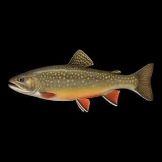
- Brook Trout — Best months: Apr, May, Jun, Oct.
- Smallmouth Bass — Best months: May, Jul, Aug, Sep.
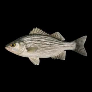
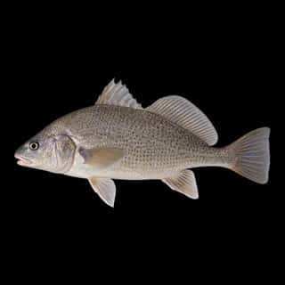
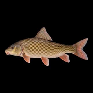
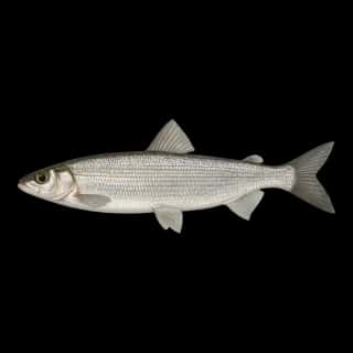
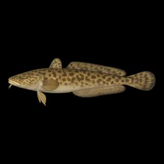
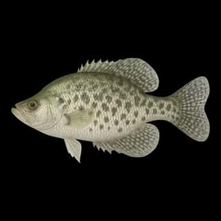
Also recorded here: Striped Bass, Bluegill, Silver Redhorse, Burbot, Freshwater Drum, Channel Catfish, Lake Trout, Brown Trout, Golden Redhorse, Lake Whitefish, Longnose Sucker, Black Bullhead, Shorthead Redhorse, White Sucker, Northern Hog Sucker, White Bass, Black Crappie, White Crappie, Cisco, Rock Bass.
Stocking: 203,530,924 fish, 1996–2025
USFWS/GLFC records list 203,530,924 fish released into this water from 1996 to 2025.
- Lake Trout: 152,284,373 in 2006–2025
- Brown Trout: 5,735,457 in 2005–2025
- Rainbow Trout: 5,452,323 in 2002–2025
- Walleye: 3,683,827 in 1994–2022
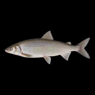
- Lake Whitefish: 382,004 in 2018–2025
- Brook Trout: 142,790 in 1978–1998
4 more species on the stocking list.
Water and conditions
Water clarity runs 5.6–32.8 feet on our readings, averaging 17.4 feet, from 6,421 readings. Water temperature averages 64°F across the year. pH averages 8.4. These readings span 2016–2026.
Monthly average water temperature: Jan 37°F · Feb 38°F · Mar 39°F · Apr 62°F · May 63°F · Jun 62°F · Jul 67°F · Aug 69°F · Sep 65°F · Oct 57°F · Nov 50°F · Dec 41°F
Depth and bottom
Deepest figure on record: 902 ft (275 m), as published by NOAA NCEI Great Lakes. We hold no survey map of this bottom, so we show no depth bands. We hold 6,329 depth contours for this water, drawn from 28,317,442 soundings.
Season by season
- Winter (Dec, Jan, Feb, Mar, 37–41°F) — Steady but no peak: Northern Pike, Atlantic Salmon, Rainbow Trout, Walleye, Brook Trout.
- Spring (Apr, 62–62°F) — Biting: Northern Pike, Rainbow Trout, Walleye, Brook Trout.
- Summer (May, Jul, Aug, Sep, 63–69°F) — Biting: Northern Pike, Largemouth Bass, Rainbow Trout, Walleye, Brook Trout, Smallmouth Bass.
- Fall (Jun, Oct, Nov, 50–62°F) — Biting: Northern Pike, Atlantic Salmon, Rainbow Trout, Walleye, Brook Trout.
What is hard here
Wind is the limit, not the fish: 14,296,859 acres of open water build a short steep chop, and there is no shelter in the middle. Clarity swings from 5.6 to 32.8 feet between our readings — the water you meet is not the water someone photographed. Winter water drops to 37°F, and the warm-water species stop feeding well before you do.
Where this data comes from
- NOAA National Geodetic Survey / Office for Coastal Management — NOAA topobathymetric lidar DEMs: class A, a survey of the bottom, 2020.
- NOAA Digital Coast — NOAA Digital Coast bathymetric lidar: class A, a survey of the bottom, 2011–2022.
- USACE eHydro — USACE eHydro channel surveys: class A, a survey of the bottom.
- NOAA ENC — NOAA Electronic Navigational Charts: soundings: class A, a survey of the bottom.
- NOAA NOS Hydro — NOAA NOS hydrographic survey archive: class A, a survey of the bottom.
- NOAA NCEI Great Lakes — NOAA Great Lakes bathymetry: class B, a depth figure measured and published by an agency, without a bottom map.
- NOAA ENC — NOAA Electronic Navigational Charts: depth contours: class A, a survey of the bottom.
- USGS Central Midwest WSC / Cook County Bureau of Technology — USGS Central Midwest WSC / Cook County Bureau of Technology: depth contours: class A, a survey of the bottom.
- Michigan EGLE — Michigan EGLE: depth contours: class A, a survey of the bottom.