Muskegon Lake fishing: Muskellunge, Walleye, Freshwater Drum
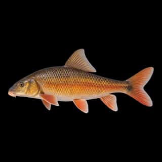
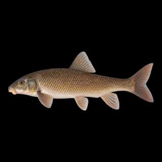
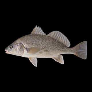
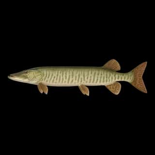
Target species: Muskellunge, Walleye, Freshwater Drum, Brown Trout, Golden Redhorse, Shorthead Redhorse, Silver Redhorse
Boat: 9 ramps and launches on file for this water.
Start here: Launch at Fisherman's Landing, 7 lanes.
The lake
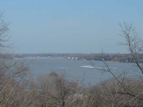
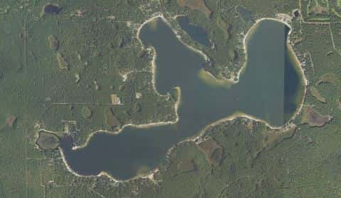
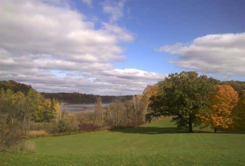
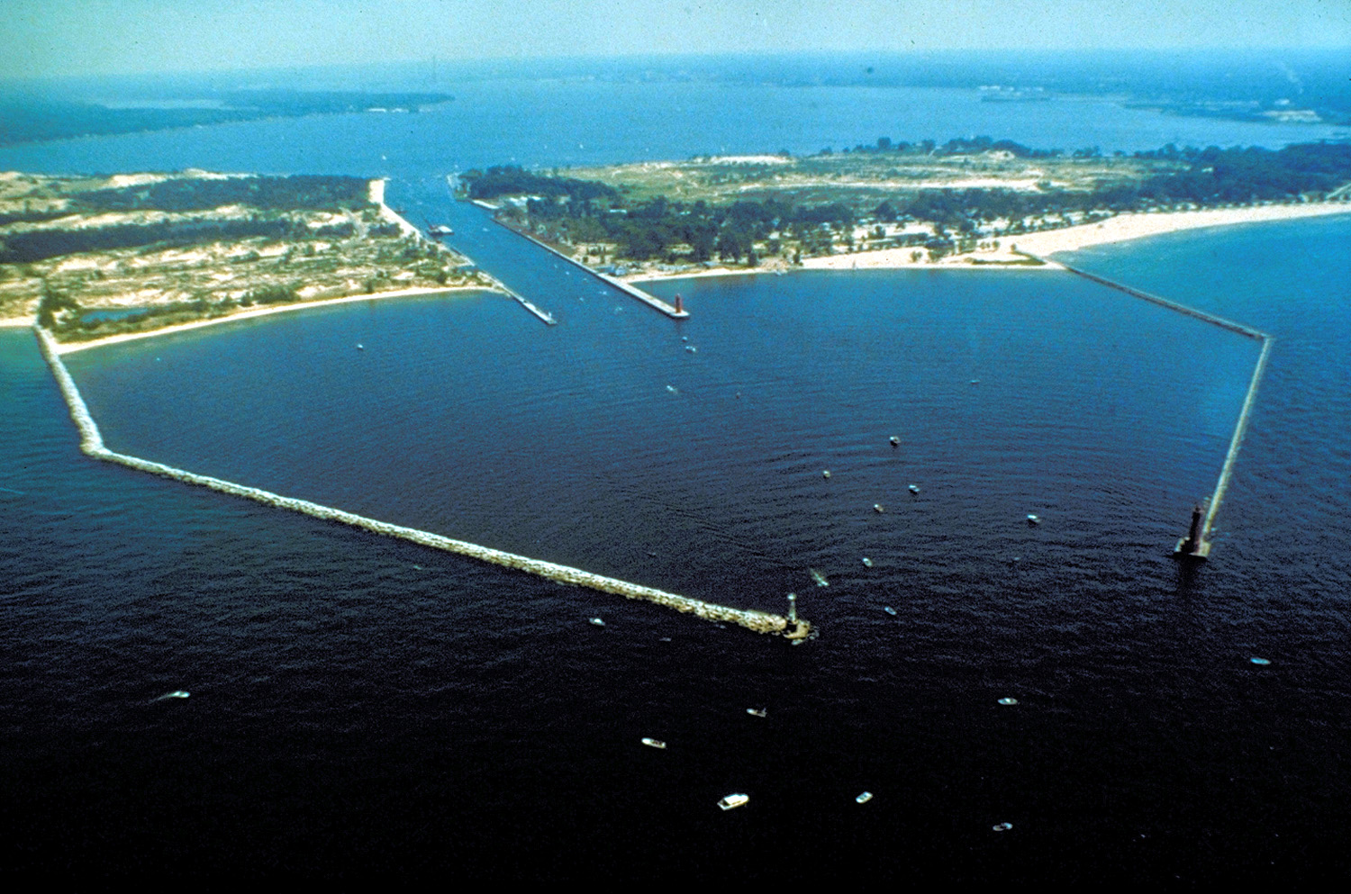
Muskegon Lake covers 4,207 acres in Michigan, across Muskegon County. It is a lake: 90.1% of it is 45 feet deep or less; the deepest point measured is 78.7 feet (24 m). Our records hold 19 species for this water.
Depth: down to 78.7 ft at the deepest measured point
Deepest measured point: 78.7 ft (24 m). 90.1% of the water is 45 feet or shallower. We hold 176 depth contours for this water, drawn from 1,551 soundings.
- 0–5 ft: 22.7% of the water
- 5–10 ft: 10.2% of the water
- 10–15 ft: 6.9% of the water
- 15–20 ft: 6.3% of the water
- 20–25 ft: 7.4% of the water
- 25–30 ft: 9.2% of the water
- 30–35 ft: 9.9% of the water
- 35–40 ft: 9.8% of the water
- 40–45 ft: 7.7% of the water
- 45–50 ft: 5.5% of the water
- 50–55 ft: 2.1% of the water
- 55–60 ft: 1.2% of the water
- 60–65 ft: 0.6% of the water
- 65–70 ft: 0.4% of the water
- 70–75 ft: 0.1% of the water
7 target fish, led by Muskellunge
- Muskellunge — Feeding water: 65–75°F.
- Walleye — Feeding water: 50–75°F.
- Freshwater Drum — Feeding water: 60–75°F.
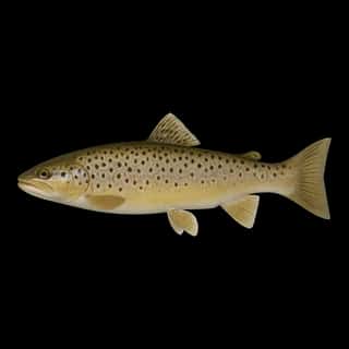
- Brown Trout — Feeding water: 50–65°F.
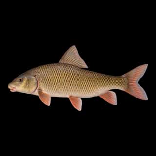
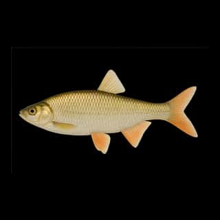
- Golden Redhorse — Feeding water: 60–75°F.
- Shorthead Redhorse — Feeding water: 60–75°F.
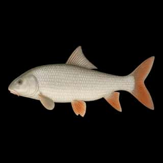
- Silver Redhorse — Feeding water: 60–75°F.
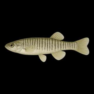
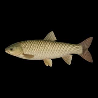
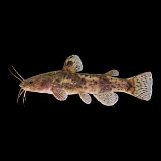
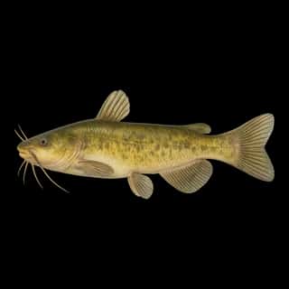
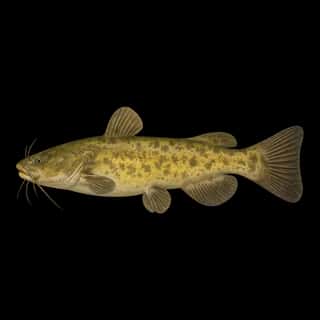
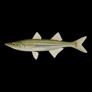
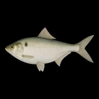
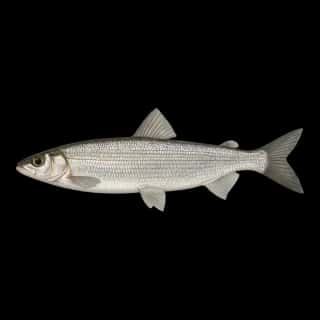
Also recorded here: White Sucker, Cisco, Flathead Catfish, Yellow Bullhead, Common Carp, Grass Carp, Tadpole Madtom, Banded Killifish, Golden Shiner, Brook Silverside, Gizzard Shad, Alewife.
Stocking: 10,479,923 fish, 1983–2025
Michigan DNR records list 10,479,923 fish released into this water from 1983 to 2025.
- Walleye: 10,447,757 in 1993–2025
- Muskellunge: 32,166 in 2013–2024
9 ramps and launches on this water
On this water we hold 5 trailer ramps and 4 boat ramps.
- Fisherman's Landing — 7 lanes. City of Muskegon.
- Hartshorn — 6 lanes. City of Muskegon.
- Muskegon State Park - Snug Harbor — 6 lanes, restrooms. Muskegon State Park. phone 231-744-3480
- Grand Trunk — 4 lanes. City of Muskegon.
- Cottage Grove — 3 lanes. City of Muskegon. website mcgi.state.mi.us/MRBIS/BASDetail.aspx?basid=A-61-010
- Adelaide Pointe Marina — Muskegon. 400 Adelaide Circle, Muskegon 49441 · phone +1 231-246-4500 · website adelaidepointe.com/marina
- Great Lakes Marina — Muskegon. 1920 Lakeshore Drive, Muskegon 49441 · phone +1 231 759 8230 · website shmarinas.com/locations/safe-harbor-great-lakes
- Harbour Towne Marina — Muskegon. 3429 Fulton Avenue, Muskegon 49441 · phone +1 231 755 2218 · website htownemarina.com
- Lakeshore Yacht Harbor — Muskegon. 1200 Lakeshore Drive, Muskegon 49441 · phone +1 231 726 5770 · website lakeshoreyachtharbour.com
Fee and opening hours are blank for all 9 places in this list: a blank means we hold no such field, not that it is free or always open, and this list may not be complete.
What is hard here
Only 9 public ramps are on file, so the launch decides where you fish.
Where this data comes from
- NOAA ENC — NOAA Electronic Navigational Charts: soundings: class A, a survey of the bottom.
- NOAA National Geodetic Survey / Office for Coastal Management — NOAA topobathymetric lidar DEMs: class A, a survey of the bottom, 2020.
- NOAA ENC — NOAA Electronic Navigational Charts: depth contours: class A, a survey of the bottom.
- NOAA National Bathymetric Source (S-102 ed3.0.0) — NOAA S-102 bathymetric surfaces: contours: class A, a survey of the bottom.
- Michigan EGLE — Michigan EGLE: depth contours: class A, a survey of the bottom.
- EPA NLA — EPA National Lakes Assessment: class B, a depth figure measured and published by an agency, without a bottom map.
- Webster, K.E., McCullough, I.M., Soranno, P.A. LAGOS-US DEPTH v1.0, EDI, doi:10.6073/pasta/64ddc4d04661d9aef4bd702dc5d8984f (CC BY 4.0); Cheruvelil et al. LAGOS-US LOCUS v1.0 (EDI) — LAGOS-US DEPTH v1.0: Lake depth for 17,675 lakes in the conterminous U.S.: class B, a depth figure measured and published by an agency, without a bottom map.