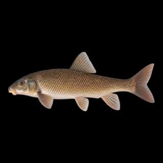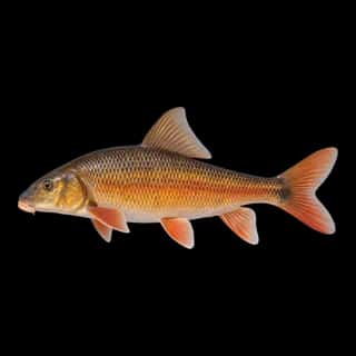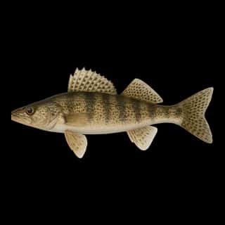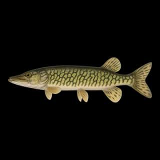
Lake Huron fishing: Smallmouth Bass, Walleye, Northern Pike
Target species: Smallmouth Bass, Walleye, Northern Pike, Largemouth Bass, Rainbow Trout, Brook Trout, Atlantic Salmon
Best months: Jun, Jul, Aug, Sep for Smallmouth Bass
Second window: Jun, Aug, Sep, Oct for Walleye
Boat: 56 ramps and launches on file for this water.
Start here: Launch at Alpena Marina, 8 lanes.
The lake
Lake Huron covers 14,593,986 acres in Michigan. It is a lake: the deepest figure on record is 755 feet (230 m), as published by NOAA NCEI Great Lakes, a figure without a map of the bottom. Our records hold 50 species for this water.
56 ramps and launches on this water
On this water we hold 30 trailer ramps, 19 boat ramps and 7 hand launches.
- Alpena Marina — 8 lanes. Alpena, City of Alpena. 400 East Chisholm Street, Alpena 49707 · phone 989-354-1734 · website alpena.mi.us/departments/marina/index.php · email [email protected]
- Harbor Beach Municipal — 6 lanes. Harbor Beach, City of Harbor Beach. 1 Ritchie Drive, Harbor Beach 48441 · phone 989-479-9707 · website harborbeach.com/ParksRecreation/Marina.aspx
- Lexington — 6 lanes, open 4am–11pm, restrooms. Lexington. 7411 Huron Avenue, Lexington 48450 · phone 810-327-6224 · website lexingtonmarina.com
- Port Austin State Harbor — 4 lanes, open 4am–11pm. Port Austin, Port Crescent State Park. 8791 Lake Street, Port Austin 48467 · phone 989-738-8663
- Caseville — 2 lanes. Caseville, City of Caseville. Main Street, Caseville 48725 · phone 989-856-4411
- Hessel — 2 lanes. Hessel, Clark Township. 296 South Hessel Point Road 49745 · phone 906-484-2672 · website mcgi.state.mi.us/mrbis/BASDetail.aspx?sid=A-49-026
- Presque Isle State Harbor — 2 lanes, restrooms. Presque Isle, Hoeft State Park. 5462 East Grand Lake Road, Presque Isle 49777 · phone 989-734-2543
- Mackinaw City Municipal Marina — 1 lane. Mackinaw City, Village of Mackinaw City. 107 South Huron Avenue, Mackinaw City 49701 · phone 231-627-9578 · website mackinawmarina.com · hours: Mo-Su 08:00-17:00
- St Ignace — 1 lane. Saint Ignace. 13 South State Street, Saint Ignace · phone 800-338-6660 · website cityofstignace.com/marina · hours: Mo-Su 07:00-21:00
- Drummond Island Yacht Haven — Drummond Island, Drummond Island Yacht Haven. 33185 South Water Street, Drummond Island 49726 · phone +1 906 493 5232 · website diyachthaven.com
Car-top and kayak launches — no trailer
- Eagle Bay — restrooms. Port Crescent State Park. phone 989-738-8663
- Hammond Bay — Hoeft State Park. phone 989-734-2543
- Harrisville State Park — open 8am–10pm. Harrisville State Park. phone 989-724-5126
- Port Sanilac Village Ramp — Village of Port Sanilac.
- Prentiss Bay — Sault Saint Marie Forestry Management Unit. phone 906-635-5281
- Singing Bridge — restrooms. Tawas Point State Park. phone 989-362-5041
- Snug Harbor — Hoeft State Park. phone 989-734-2543
Fee and opening hours are blank for all 17 places in this list: a blank means we hold no such field, not that it is free or always open, and this list may not be complete.
7 target fish, led by Smallmouth Bass
- Smallmouth Bass — Best months: Jun, Jul, Aug, Sep.
- Walleye — Best months: Jun, Aug, Sep, Oct.
- Northern Pike — Best months: Jun, Aug, Sep, Oct.
- Largemouth Bass — Best months: Jun, Jul, Aug, Sep.
- Rainbow Trout — Best months: May, Jun, Oct.
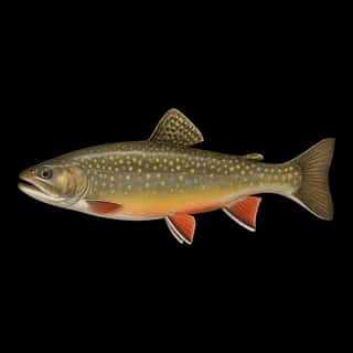
- Brook Trout — Best months: May, Jun, Oct.
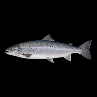
- Atlantic Salmon — Best months: May, Oct, Nov.
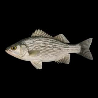
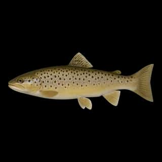
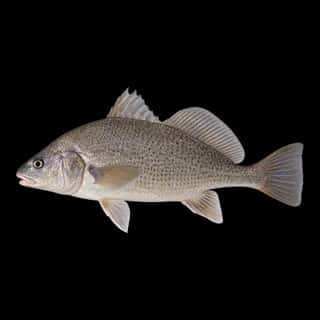
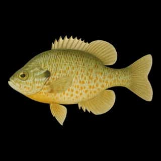
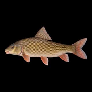
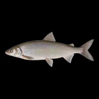
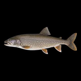
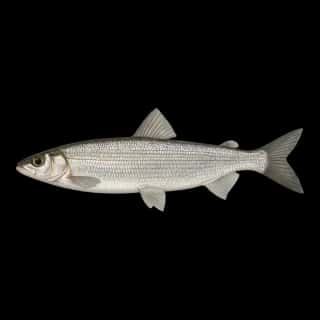
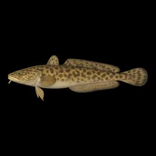
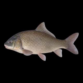
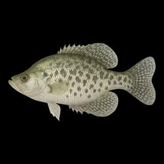
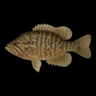
Also recorded here: Freshwater Drum, White Sucker, Yellow Perch, Channel Catfish, Burbot, Lake Trout, Pumpkinseed, Bluegill, Brown Trout, Rock Bass, Bigmouth Buffalo, Golden Redhorse, Lake Whitefish, Longnose Sucker, Sauger, Black Bullhead, Shorthead Redhorse, White Bass, Black Crappie, White Crappie.
Stocking: 73,413,659 fish, 1996–2025
USFWS/GLFC records list 73,413,659 fish released into this water from 1996 to 2025.
- Lake Trout: 61,511,790 in 2006–2025
- Walleye: 2,009,348 in 1991–2025
- Lake Whitefish: 27,181 in 2025
2 more species on the stocking list.
Water and conditions
Water clarity runs 2.9–29.1 feet on our readings, averaging 11.8 feet, from 702 readings. Our water temperature readings average 59°F; they do not cover the whole year, so this is not a yearly average. The coldest single reading we hold is 33°F and the warmest is 84°F; the warmest monthly average is 73°F. pH averages 8.3. These readings span 2016–2024.
Depth and bottom
Deepest figure on record: 755 ft (230 m), as published by NOAA NCEI Great Lakes. We hold no survey map of this bottom, so we show no depth bands. We hold 34,126 depth contours for this water, drawn from 8,913,753 soundings.
What is hard here
Wind is the limit, not the fish: 14,593,986 acres of open water build a short steep chop, and there is no shelter in the middle. Clarity swings from 2.9 to 29.1 feet between our readings — the water you meet is not the water someone photographed.
Where this data comes from
- NOAA National Geodetic Survey / Office for Coastal Management — NOAA topobathymetric lidar DEMs: class A, a survey of the bottom, 2019.
- USACE eHydro — USACE eHydro channel surveys: class A, a survey of the bottom.
- NOAA NOS Hydro — NOAA NOS hydrographic survey archive: class A, a survey of the bottom.
- NOAA NCEI Great Lakes — NOAA Great Lakes bathymetry: class B, a depth figure measured and published by an agency, without a bottom map.
- NOAA ENC — NOAA Electronic Navigational Charts: soundings: class A, a survey of the bottom.
- NOAA ENC — NOAA Electronic Navigational Charts: depth contours: class A, a survey of the bottom.
- NOAA Digital Coast — NOAA Digital Coast bathymetric lidar: class A, a survey of the bottom, 1983.