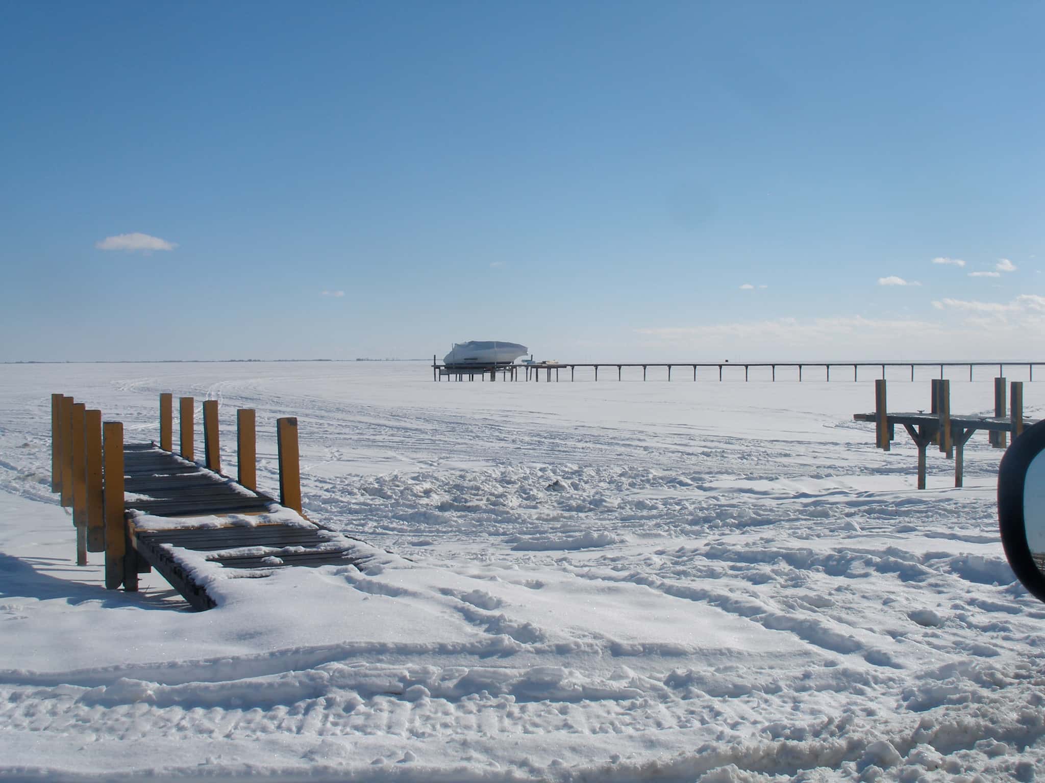
Lake Saint Clair fishing: Smallmouth Bass, Largemouth Bass, Walleye
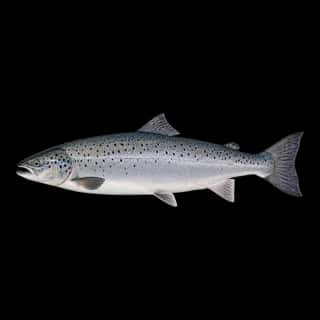
Target species: Smallmouth Bass, Largemouth Bass, Walleye, Muskellunge, Northern Pike, Rainbow Trout, Atlantic Salmon
Best months: Jun, Sep, Oct for Smallmouth Bass
Second window: Jun, Jul, Aug, Sep for Largemouth Bass
Boat: 17 ramps and launches on file for this water.
Start here: Launch at Harley Ensign Memorial, 18 lanes.
The lake
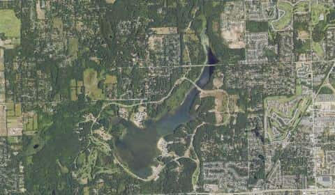
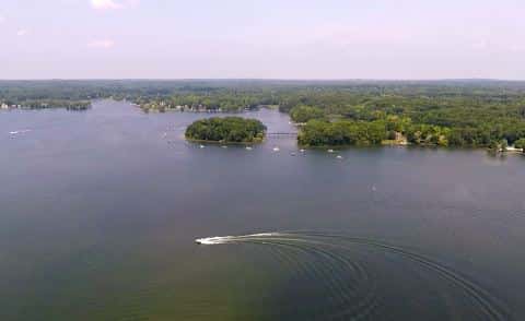
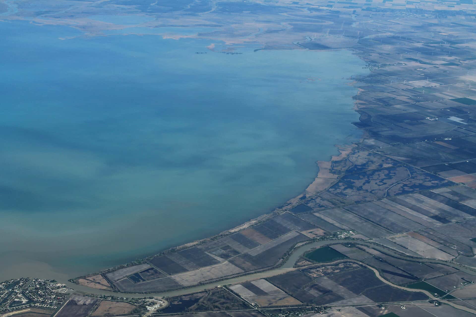
Lake Saint Clair covers 277,783 acres in Michigan, across Macomb County. It is a lake: the deepest point measured is 61.7 feet (18.8 m). Our records hold 47 species for this water.
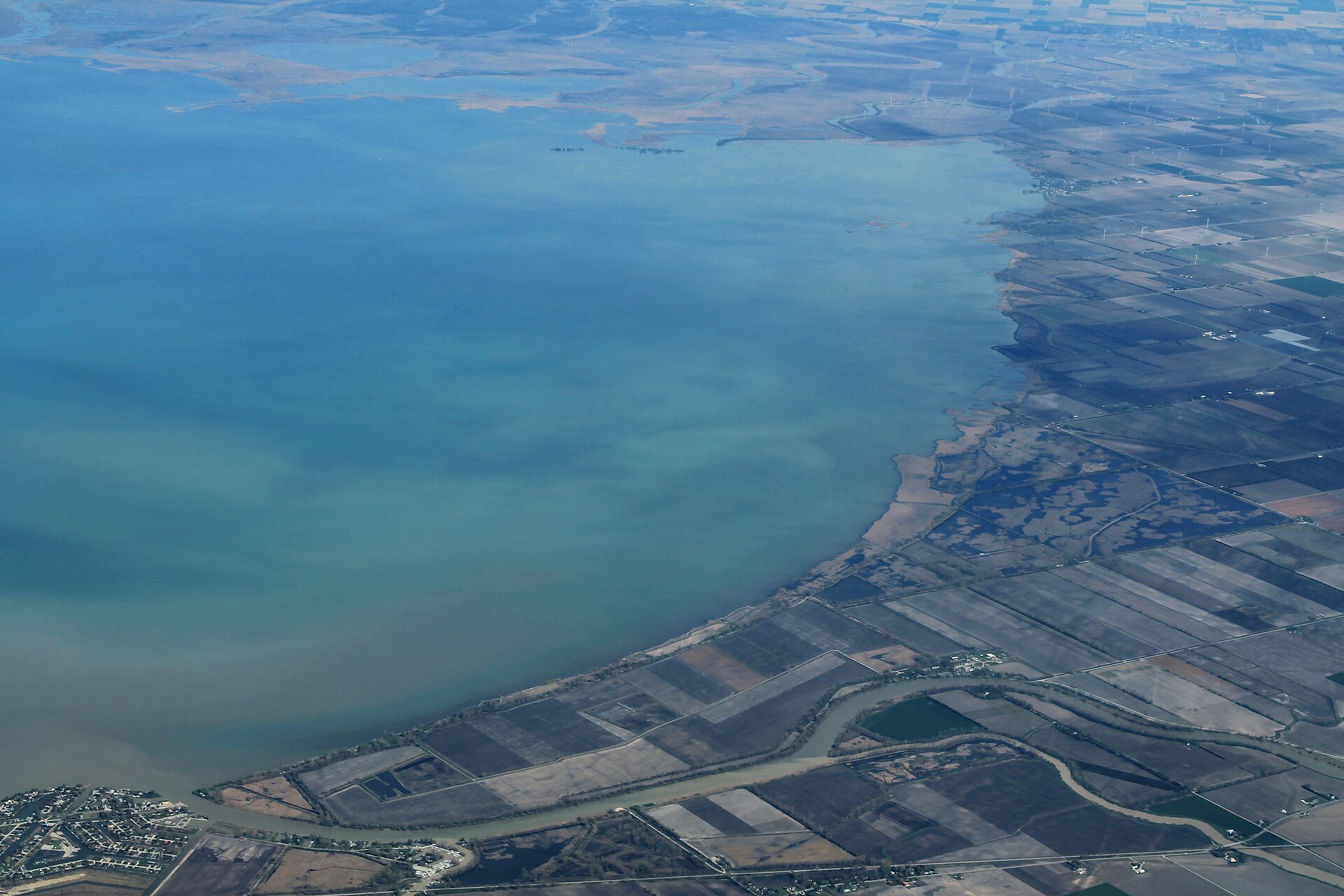
Depth: down to 61.7 ft at the deepest measured point
Deepest measured point: 61.7 ft (18.8 m). We hold 1,034 depth contours for this water, drawn from 1,197,934 soundings.
- 0–3 ft: 16.9% of the surveyed bottom
- 3–6 ft: 5.7% of the surveyed bottom
- 6–9 ft: 7.2% of the surveyed bottom
- 9–12 ft: 17.6% of the surveyed bottom
- 12–15 ft: 23.3% of the surveyed bottom
- 15–18 ft: 27.6% of the surveyed bottom
- 18–21 ft: 1.3% of the surveyed bottom
- 21–24 ft: 0.1% of the surveyed bottom
- 24–27 ft: 0.1% of the surveyed bottom
- 27–30 ft: 0.1% of the surveyed bottom
- 30–33 ft: 0.1% of the surveyed bottom
- 33–36 ft: 0.1% of the surveyed bottom
7 target fish, led by Smallmouth Bass
- Smallmouth Bass — Best months: Jun, Sep, Oct.
- Largemouth Bass — Best months: Jun, Jul, Aug, Sep.
- Walleye — Best months: May, Jun, Sep, Oct.
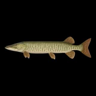
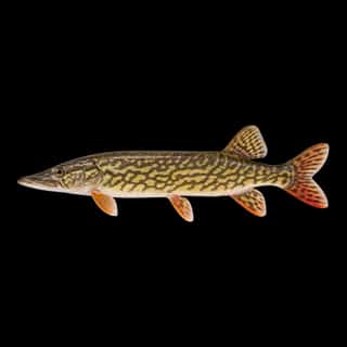
- Muskellunge — Best months: Jun, Sep, Oct.
- Northern Pike — Best months: May, Jun, Sep, Oct.
- Rainbow Trout — Best months: May, Oct, Nov.
- Atlantic Salmon — Best months: May, Nov.
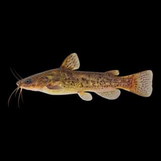
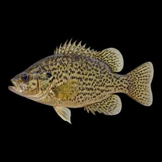
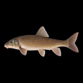
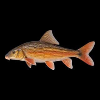
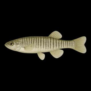
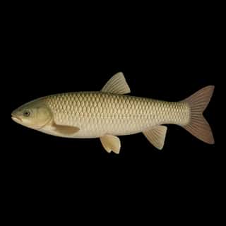
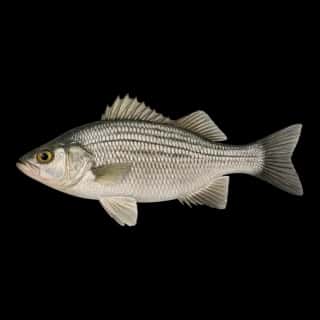
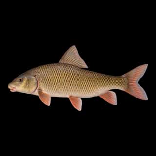
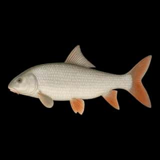
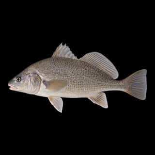
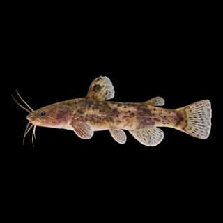
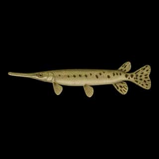
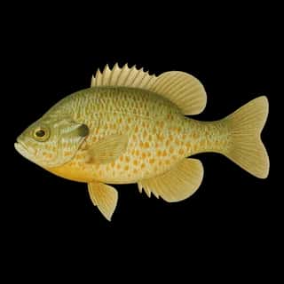
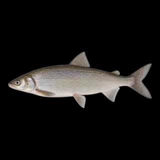
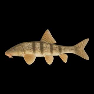
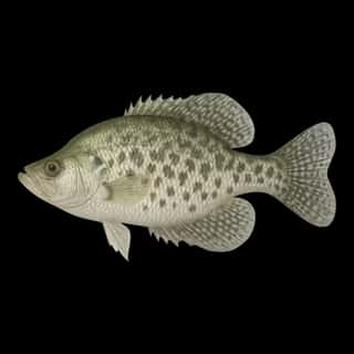
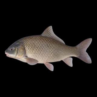
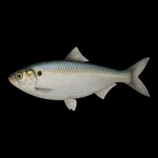
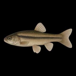
Also recorded here: Yellow Perch, Freshwater Drum, Channel Catfish, Rock Bass, Bluegill, Pumpkinseed, White Bass, Golden Redhorse, Lake Whitefish, Black Bullhead, Shorthead Redhorse, Silver Redhorse, White Sucker, Northern Hog Sucker, Black Crappie, Redfin Pickerel, White Crappie, Green Sunfish, Flathead Catfish, Bigmouth Buffalo.
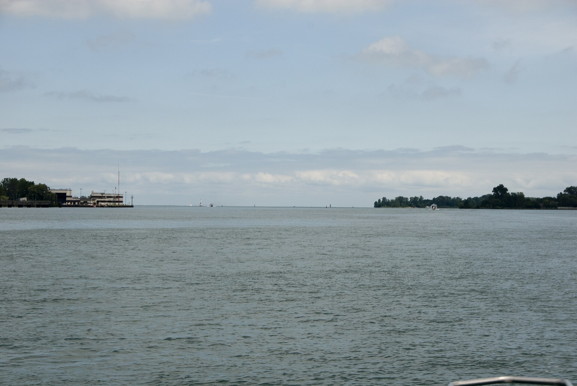
17 ramps and launches on this water
On this water we hold 6 trailer ramps and 11 boat ramps.
- Safe Harbor Jefferson Beach — Saint Clair Shores, Safe Harbor Marinas. 24400 Jefferson Avenue, Saint Clair Shores 48080 · phone +1 586 778 7600 · website shmarinas.com/locations/safe-harbor-jefferson-beach
- Harley Ensign Memorial — 18 lanes, open 4am–11pm. Mount Clemens Field Office. phone 586-465-2160
- Selfridge — 14 lanes, open 4am–11pm. Mount Clemens Field Office. phone 586-465-2160
- Clinton River Cut Off — 6 lanes, open 4am–11pm. Mount Clemens Field Office. phone 586-465-2160
- Fair Haven — 3 lanes, open 4am–11pm, restrooms. Mount Clemens Field Office. phone 586-465-2160
- Deckers Landing — 2 lanes, restrooms. Algonac State Park. phone 810-765-5605
- Lake St. Clair Metro Park — 2 lanes. Huron-Clinton Metropolitan Authority.
- Anglers Point — Chesterfield. 28955 William P Rosso Highway, Chesterfield 48047 · phone +1 586 949 9223 · website anglerspoint.com
- Beacon Cove Marina — Harrison Township. 36290 Jefferson Avenue, Harrison Township 48045 · phone +1 586 465 4910 · website hideawayyachtsales.com
- Brandenburg Memorial Park — Chesterfield Township. phone 810-949-0400
Fee and opening hours are blank for all 10 places in this list: a blank means we hold no such field, not that it is free or always open, and this list may not be complete.
Water and conditions
Our water temperature readings average 70°F; they do not cover the whole year, so this is not a yearly average. The coldest single reading we hold is 34°F and the warmest is 82°F; the warmest monthly average is 77°F. pH averages 8.3. These readings span 2016–2026.
What is hard here
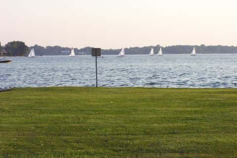
Wind is the limit, not the fish: 277,783 acres of open water build a short steep chop, and there is no shelter in the middle.
Where this data comes from
- NOAA National Geodetic Survey / Office for Coastal Management — NOAA topobathymetric lidar DEMs: class A, a survey of the bottom, 2020.
- USACE eHydro — USACE eHydro channel surveys: class A, a survey of the bottom.
- NOAA NOS Hydro — NOAA NOS hydrographic survey archive: class A, a survey of the bottom.
- NOAA ENC — NOAA Electronic Navigational Charts: soundings: class A, a survey of the bottom.
- NOAA National Bathymetric Source (S-102 ed3.0.0) — NOAA S-102 bathymetric surfaces: contours: class A, a survey of the bottom.
- NOAA NCEI Great Lakes — NOAA Great Lakes bathymetry: class B, a depth figure measured and published by an agency, without a bottom map.
- NOAA ENC — NOAA Electronic Navigational Charts: depth contours: class A, a survey of the bottom.