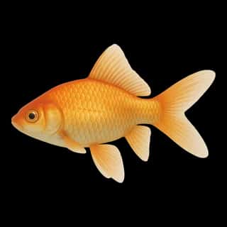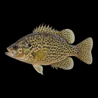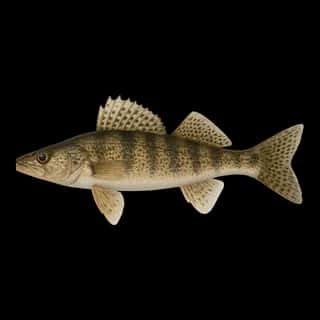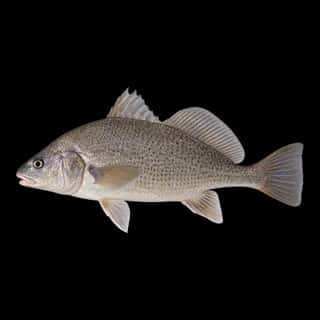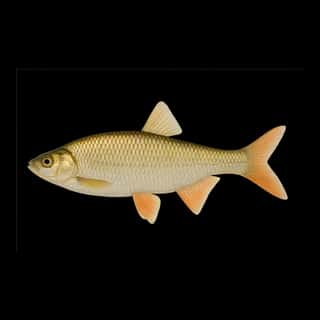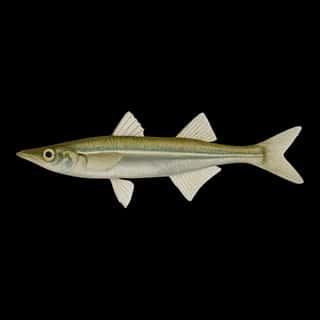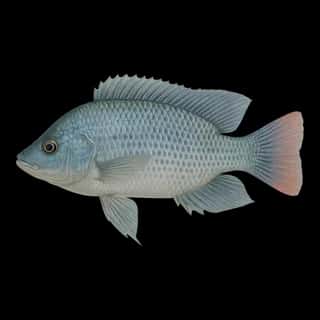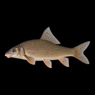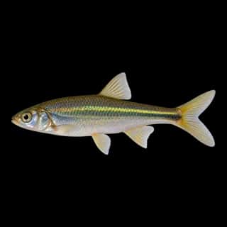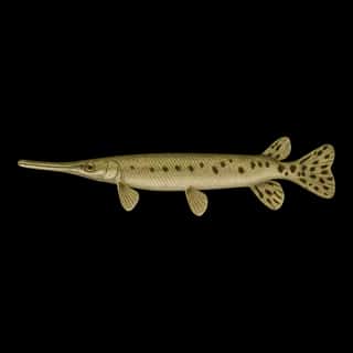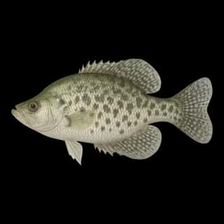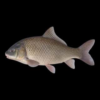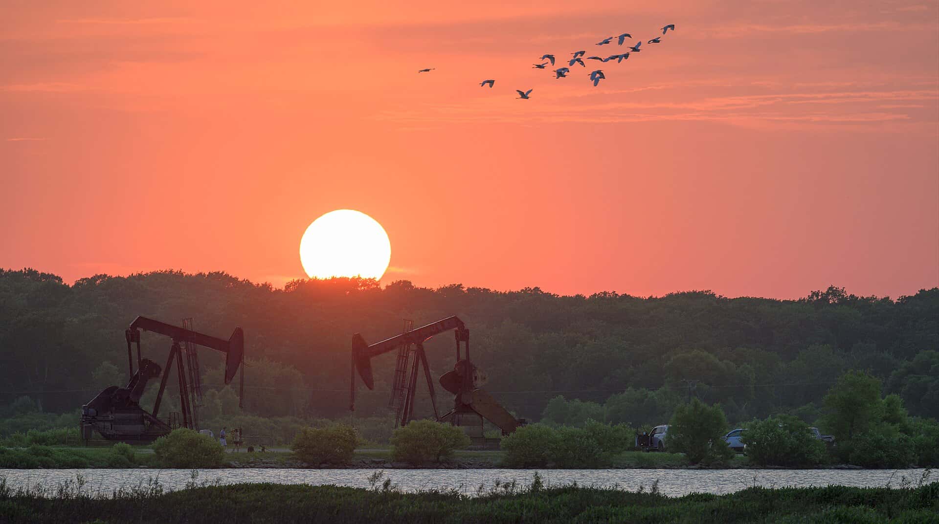
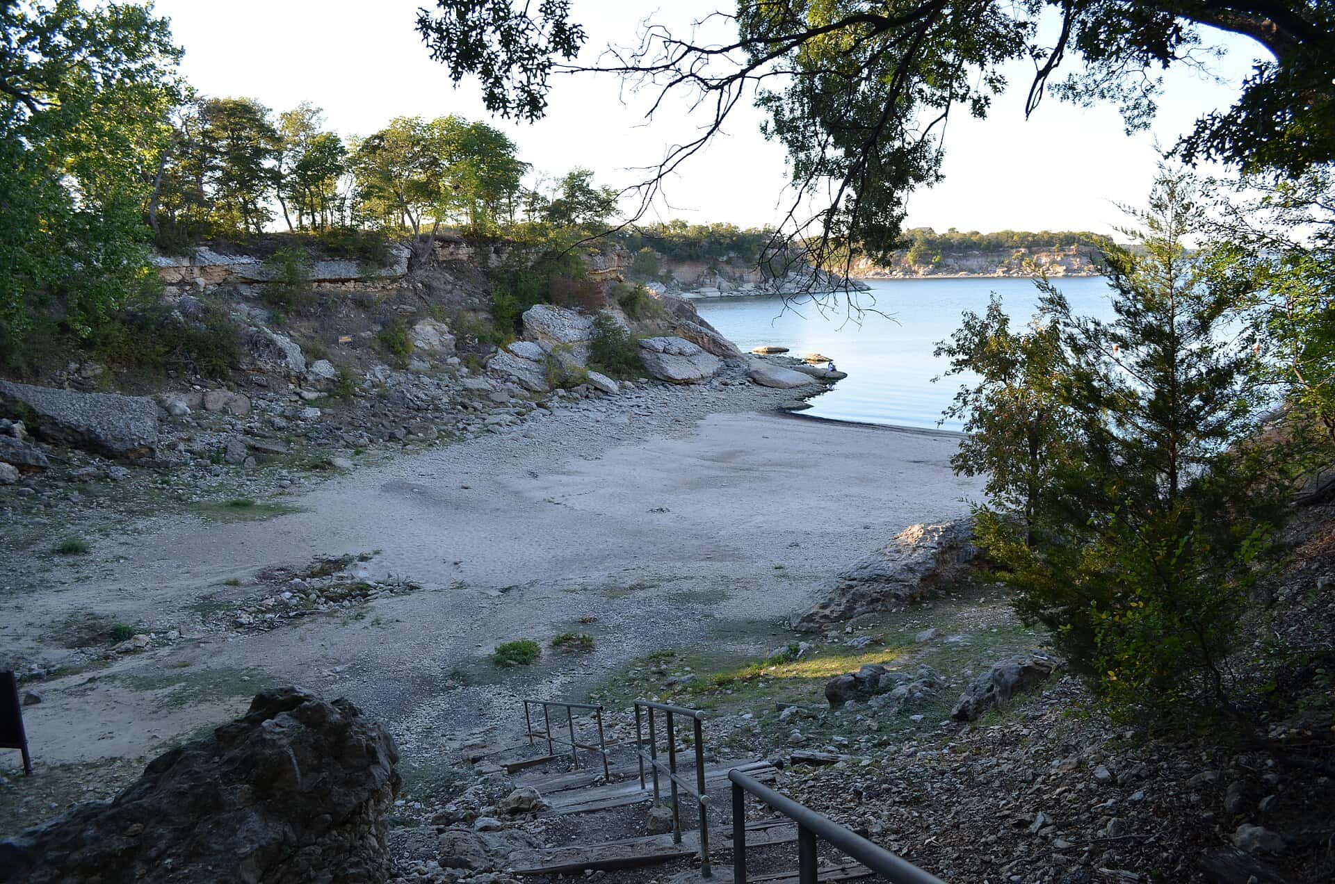
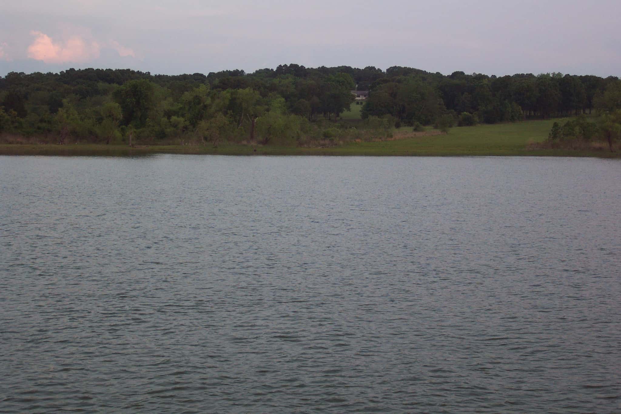
Lake Texoma fishing: Striped Bass, Largemouth Bass, Smallmouth Bass
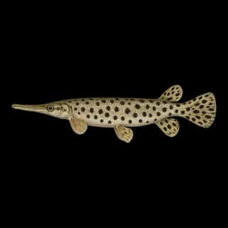
Target species: Striped Bass, Largemouth Bass, Smallmouth Bass, Walleye, Alligator Gar, White Crappie, Black Crappie
Best months: Apr, May, Oct, Nov for Striped Bass
Second window: May, Jun, Sep, Oct for Largemouth Bass
Boat: 8 ramps and launches on file for this water.
Start here: Launch at Cedar Bayou Marina at Lake Texoma.
The reservoir
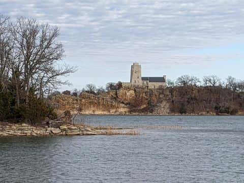
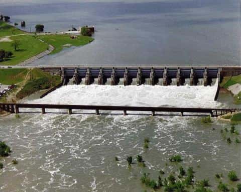
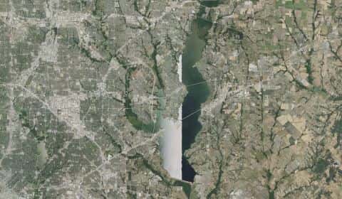
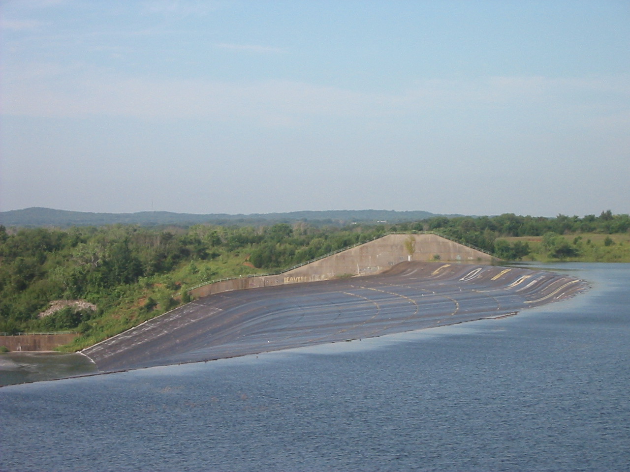
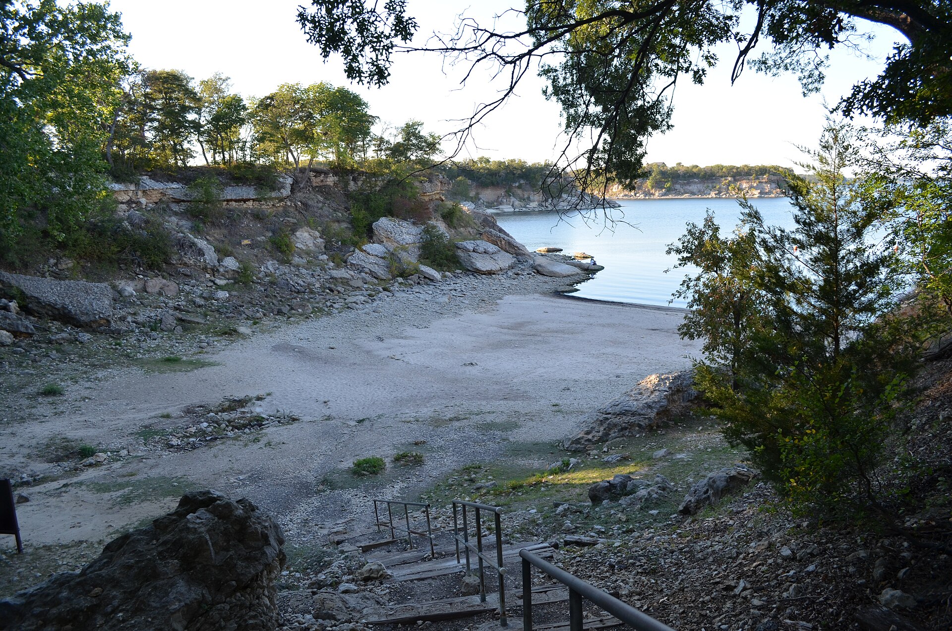
Lake Texoma covers 79,183 acres in Oklahoma, across 4 counties: Marshall, Bryan, Love and Johnston. It is a reservoir: the deepest point measured is ≈98.5 feet (30 m). Our records hold 46 species for this water. 31% of the water lies in Texas.
Depth and bottom
Deepest measured point: ≈98.5 ft (30 m).
7 target fish, led by Striped Bass
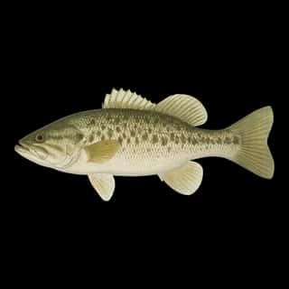
- Striped Bass — Best months: Apr, May, Oct, Nov.
- Largemouth Bass — Best months: May, Jun, Sep, Oct.
- Smallmouth Bass — Best months: Apr, May, Oct, Nov.
- Walleye — Best months: Nov, Mar, Apr, May.
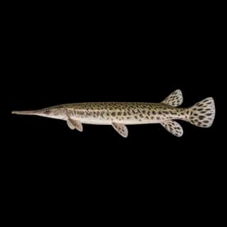
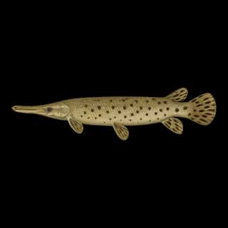
- Alligator Gar — Best months: Jun, Sep, Oct.
- White Crappie — Best months: May, Oct.
- Black Crappie — Best months: May, Oct.
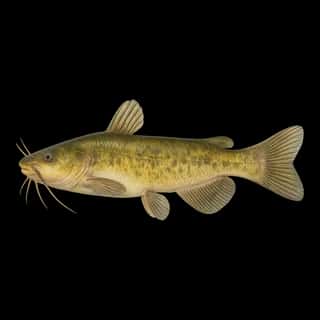
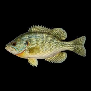
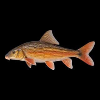
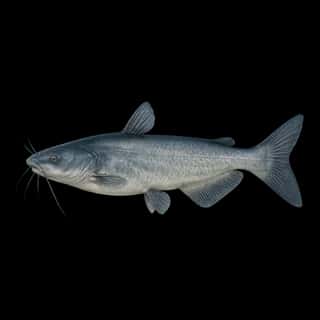
Also recorded here: Bluegill, Redear, Green Sunfish, Blue Catfish, Flathead Catfish, Bigmouth Buffalo, Shortnose Gar, Spotted Bass, White Bass, Warmouth, Channel Catfish, Freshwater Drum, Spotted Gar, Golden Redhorse, River Carpsucker, Longear Sunfish, Sauger, Black Bullhead, Northern Hog Sucker, Highfin Carpsucker.
Stocking: 424,419 fish, 2018–2023
Oklahoma Department of Wildlife Conservation, Fisheries Division records list 424,419 fish released into this water from 2018 to 2023.
- Channel Catfish: 130,662 in 2018–2022
2 more species on the stocking list.
Water and conditions
Water clarity runs 1.4–5.2 feet on our readings, averaging 3.2 feet, from 102 readings. Water temperature averages 71°F across the year. The coldest single reading we hold is 41°F and the warmest is 93°F; the warmest monthly average is 86°F. pH averages 8.3. These readings span 2016–2026.
Monthly average water temperature: Jan 47°F · Feb 48°F · Mar 54°F · Apr 62°F · May 69°F · Jun 82°F · Jul 86°F · Aug 86°F · Sep 82°F · Oct 73°F · Nov 60°F · Dec 53°F
8 ramps and launches on this water
On this water we hold 8 boat ramps.
- Cedar Bayou Marina at Lake Texoma — Gordonville. 513 Cedar Bayou Boulevard, Gordonville 76245
- Mill Creek Resort and Marina — Pottsboro. 512 Mill Creek Resort Road, Pottsboro 75076 · website millcreekresortandmarina.com
- Cedar Mills Marina and Resort website cedarmills.com
- Flowing Wells Resort and Marina website flowingwellsresort.com
- Grandpappy Point Resort and Marina website grandpappy.com
- Highport Marina website highport.com
- Lighthouse Marina phone +19033615070 · website lighthouseresort.com/marina
- Walnut Creek Resort & Marina website walnutcreekresort.com
Fee and opening hours are blank for all 8 places in this list: a blank means we hold no such field, not that it is free or always open, and this list may not be complete.
Season by season
- Winter (Dec, Jan, Feb, Mar, 47–54°F) — Biting: Walleye. Steady but no peak: Striped Bass, Largemouth Bass, Smallmouth Bass, Alligator Gar, White Crappie.
- Spring (Apr, May, 62–69°F) — Biting: Striped Bass, Largemouth Bass, Smallmouth Bass, Walleye, White Crappie, Black Crappie.
- Summer (Jun, Jul, Aug, Sep, 82–86°F) — Biting: Largemouth Bass, Alligator Gar.
- Fall (Oct, Nov, 60–73°F) — Biting: Striped Bass, Largemouth Bass, Smallmouth Bass, Walleye, Alligator Gar, White Crappie.
What is hard here
Wind is the limit, not the fish: 79,183 acres of open water build a short steep chop, and there is no shelter in the middle. Clarity swings from 1.4 to 5.2 feet between our readings — the water you meet is not the water someone photographed. Winter water drops to 47°F, and the warm-water species stop feeding well before you do. Summer water sits at 86°F: heat and afternoon lightning are the real risks, not the fishing.
Where this data comes from
- Texas Water Development Board — Texas Water Development Board: depth contours: class A, a survey of the bottom, 2002.
- Oklahoma Department of Wildlife Conservation — Oklahoma Department of Wildlife Conservation: depth soundings: class A, a survey of the bottom.
- USACE CWMS — USACE CWMS elevation-area curves: class B, a depth figure measured and published by an agency, without a bottom map.
- Webster, K.E., McCullough, I.M., Soranno, P.A. LAGOS-US DEPTH v1.0, EDI, doi:10.6073/pasta/64ddc4d04661d9aef4bd702dc5d8984f (CC BY 4.0); Cheruvelil et al. LAGOS-US LOCUS v1.0 (EDI) — LAGOS-US DEPTH v1.0: Lake depth for 17,675 lakes in the conterminous U.S.: class B, a depth figure measured and published by an agency, without a bottom map.
Part of these depths rest on an averaged water level, so they are approximate (≈).