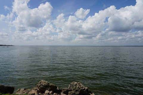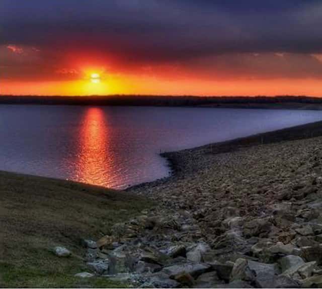
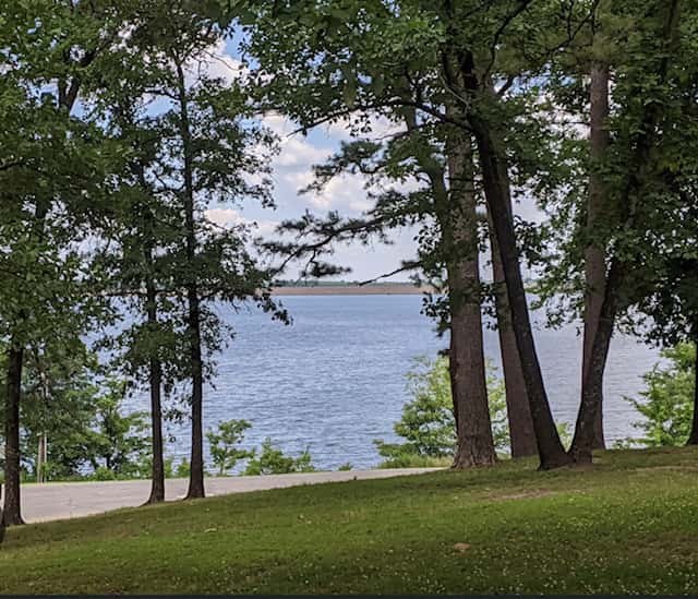

Pat Mayse Lake fishing: Largemouth Bass, White Bass, Channel Catfish
Target species: Largemouth Bass, White Bass, Channel Catfish, Sunshine Bass
Best months: May, Jul, Aug, Sep for Largemouth Bass
Second window: Sep for White Bass
Boat: 1 ramp or launch on file for this water.
Start here: Launch at Clay Bluff, 1 lane.
The reservoir
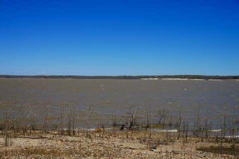
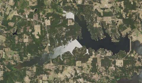
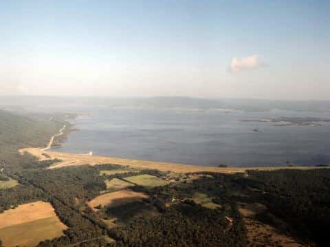
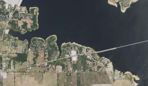
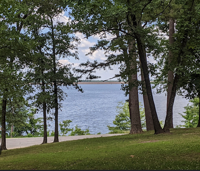
Pat Mayse Lake covers 5,813 acres in Texas, across Lamar County. It is a reservoir: 92.4% of it is 39 feet deep or less; the deepest point measured is 52.1 feet (15.9 m). Our records hold 6 species for this water.
Depth: down to 52.1 ft at the deepest measured point
Deepest measured point: 52.1 ft (15.9 m). 92.4% of the water is 39 feet or shallower. We hold 109 depth contours for this water, drawn from 68,210 soundings.
- 0–3 ft: 10.6% of the water
- 3–6 ft: 9.5% of the water
- 6–9 ft: 8.7% of the water
- 9–12 ft: 8% of the water
- 12–15 ft: 6.6% of the water
- 15–18 ft: 6.6% of the water
- 18–21 ft: 6.4% of the water
- 21–24 ft: 6.1% of the water
- 24–27 ft: 5.5% of the water
- 27–30 ft: 6.1% of the water
- 30–33 ft: 6.5% of the water
- 33–36 ft: 6.3% of the water
- 36–39 ft: 5.5% of the water
- 39–42 ft: 3.7% of the water
- 42–45 ft: 1.5% of the water
- 45–48 ft: 2.1% of the water
- 48–51 ft: 0.6% of the water
Stocking: 4,601,427 fish, 1967–2025
Texas Parks and Wildlife Department records list 4,601,427 fish released into this water from 1967 to 2025.
- Largemouth Bass: 1,406,000 in 1967–1968
- Channel Catfish: 162,400 in 1967
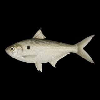
- Threadfin Shad: 1,000 in 1986
3 more species on the stocking list.
4 target fish, led by Largemouth Bass
- Largemouth Bass — Best months: May, Jul, Aug, Sep.
- White Bass — Best months: Sep.
- Channel Catfish — Best months: May, Jul, Aug, Sep.
- Sunshine Bass — Best months: May, Sep. Nonnative.
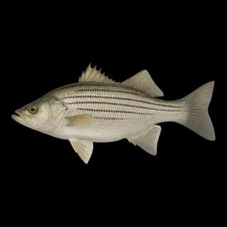
Also recorded here: Striped Bass, Threadfin Shad.
Water and conditions
Water clarity runs 1.6–3.9 feet on our readings, averaging 2.9 feet, from 75 readings. Water temperature averages 68°F across the year. The coldest single reading we hold is 32°F and the warmest is 88°F; the warmest monthly average is 85°F. pH averages 7.6. These readings span 2017–2026.
1 ramp or launch on this water
On this water we hold 1 trailer ramp.
- Clay Bluff — 1 lane. On Clay Bluff.
The place listed has no fee or opening hours on file: a blank means we hold no such field, not that it is free or always open, and this list may not be complete.
What is hard here
Wind is the limit, not the fish: 5,813 acres of open water build a short steep chop, and there is no shelter in the middle. Only 1 public ramp is on file, so the launch decides where you fish. Winter water drops to 51°F, and the warm-water species stop feeding well before you do. Summer water sits at 85°F: heat and afternoon lightning are the real risks, not the fishing.
Where this data comes from
- Texas Water Development Board — Texas Water Development Board: depth contours: class A, a survey of the bottom, 2008.
- USACE CWMS — USACE CWMS elevation-area curves: class B, a depth figure measured and published by an agency, without a bottom map.
- EPA NLA — EPA National Lakes Assessment: class B, a depth figure measured and published by an agency, without a bottom map.