Lake Cypress Springs fishing: Largemouth Bass, Walleye, White Bass
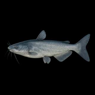
Target species: Largemouth Bass, Walleye, White Bass, Channel Catfish, Blue Catfish, Black Crappie, Redear
The lake
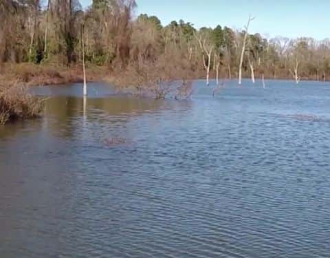
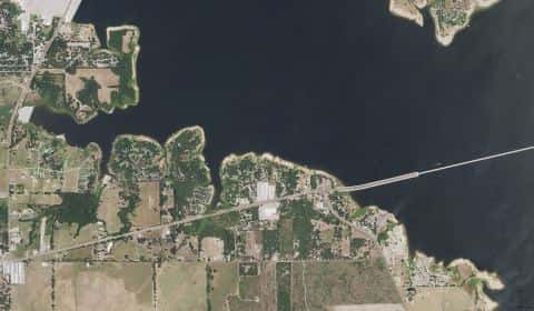
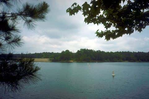
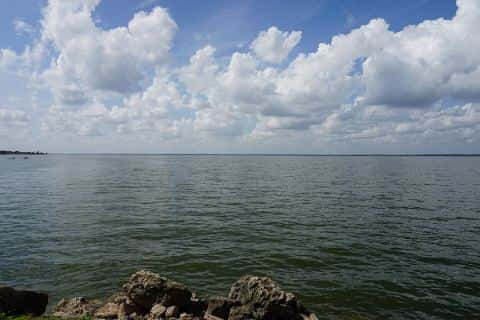
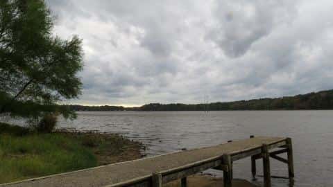
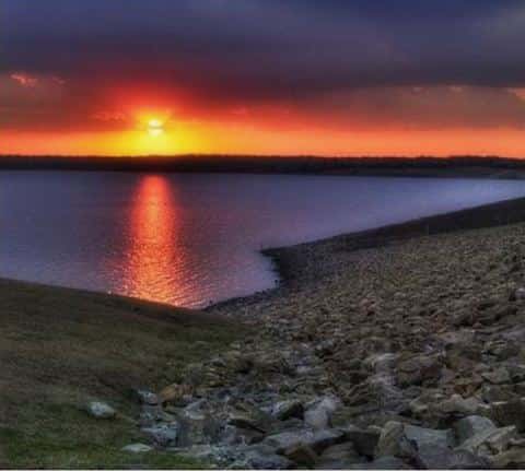
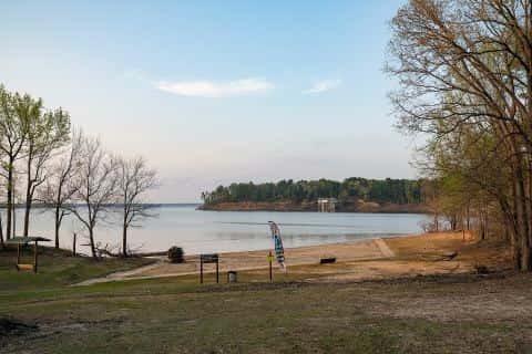
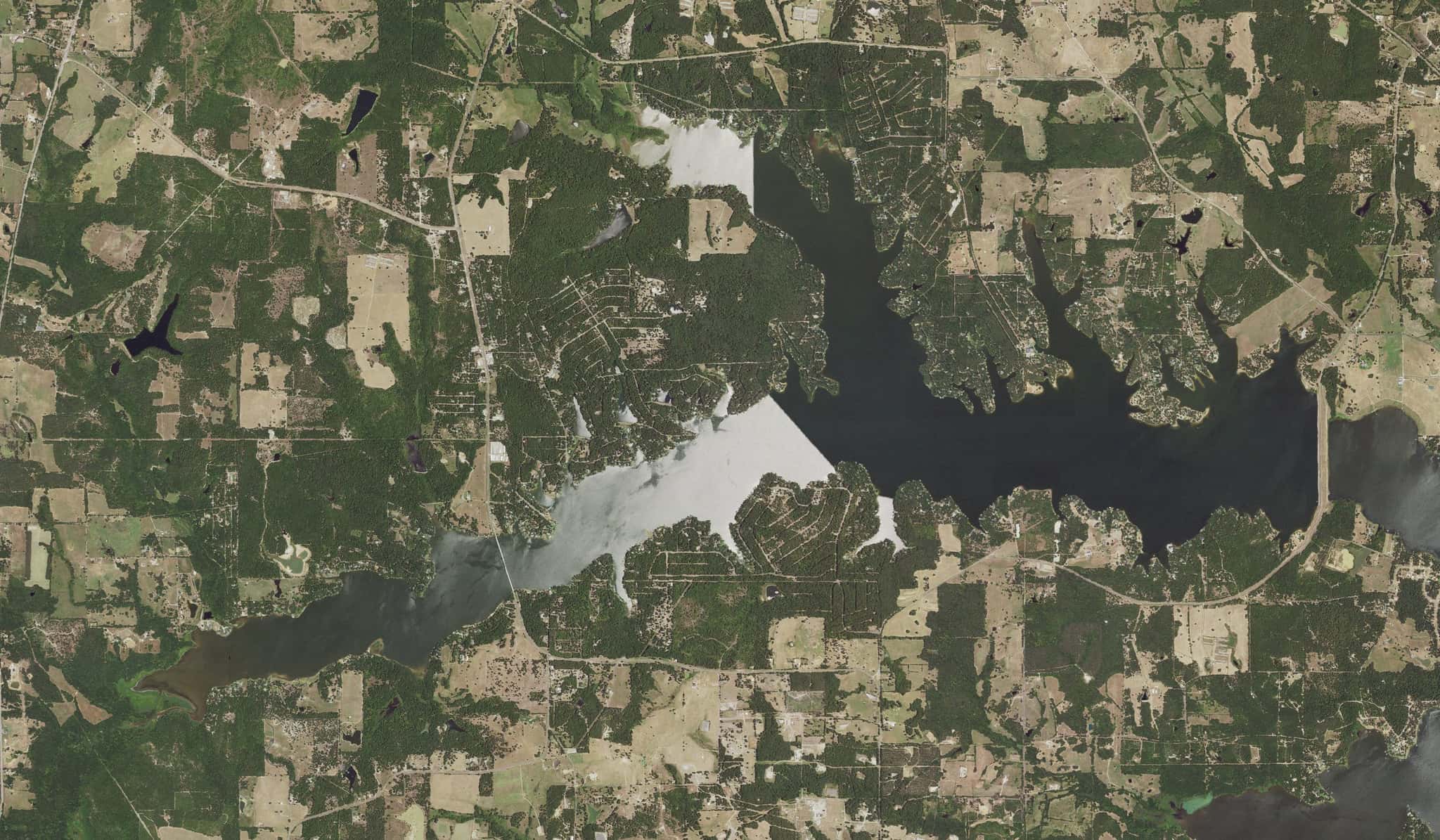
Lake Cypress Springs covers 3,238 acres in Texas, across Franklin County. It is a lake: 92.8% of it is 42 feet deep or less; the deepest point measured is at least 53 feet (16.1 m). Our records hold 8 species for this water.
7 target fish, led by Largemouth Bass
- Largemouth Bass — Feeding water: 65–85°F.
- Walleye — Feeding water: 50–75°F.
- White Bass — Feeding water: 65–75°F.
- Channel Catfish — Feeding water: 70–85°F.
- Blue Catfish — Feeding water: 70–85°F.
- Black Crappie — Feeding water: 65–75°F.
- Redear — Feeding water: 65–85°F.
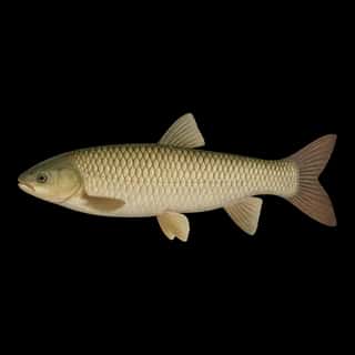
Also recorded here: Grass Carp.
Depth and bottom
Deepest measured point: at least 53 ft (16.1 m). That is the deepest contour line: the bottom goes deeper. 92.8% of the water is 42 feet or shallower. We hold 117 depth contour lines for this water.
- 0–3 ft: 3.3% of the water
- 3–6 ft: 10% of the water
- 6–9 ft: 9.9% of the water
- 9–12 ft: 9.3% of the water
- 12–15 ft: 9% of the water
- 15–18 ft: 7.1% of the water
- 18–21 ft: 6% of the water
- 21–24 ft: 6.1% of the water
- 24–27 ft: 5.6% of the water
- 27–30 ft: 5.6% of the water
- 30–33 ft: 6% of the water
- 33–36 ft: 5.3% of the water
- 36–39 ft: 5.3% of the water
- 39–42 ft: 4.3% of the water
- 42–45 ft: 3.4% of the water
- 45–48 ft: 3.7% of the water
- 48–49 ft: 0.3% of the water
Stocking: 6,170,324 fish, 1966–2026
Texas Parks and Wildlife Department records list 6,170,324 fish released into this water from 1966 to 2026.
- Walleye: 4,653,460 in 1970–1972
- Largemouth Bass: 690,000 in 1971
- Channel Catfish: 287,530 in 1966–1993
- Blue Catfish: 13,147 in 1982–1987
- Black Crappie: 2,750 in 1966
4 more species on the stocking list.
Water and conditions
Water clarity runs 2.1–4.1 feet on our readings, averaging 3.1 feet, from 75 readings. pH averages 7.5. These readings span 2016–2026.
Where this data comes from
- Texas Water Development Board — Texas Water Development Board: depth contours: class A, a survey of the bottom, 2007.
- Webster, K.E., McCullough, I.M., Soranno, P.A. LAGOS-US DEPTH v1.0, EDI, doi:10.6073/pasta/64ddc4d04661d9aef4bd702dc5d8984f (CC BY 4.0); Cheruvelil et al. LAGOS-US LOCUS v1.0 (EDI) — LAGOS-US DEPTH v1.0: Lake depth for 17,675 lakes in the conterminous U.S.: class B, a depth figure measured and published by an agency, without a bottom map.