Monticello Reservoir fishing: Rainbow Trout, Walleye, Largemouth Bass
Target species: Rainbow Trout, Walleye, Largemouth Bass, Blue Catfish, White Bass
The reservoir
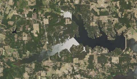
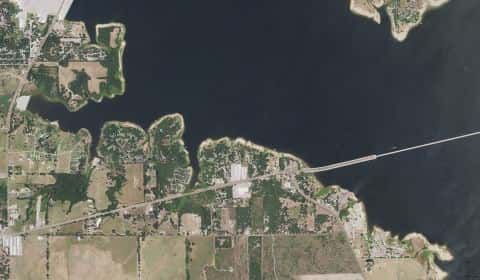
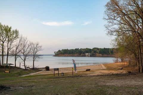
Monticello Reservoir covers 10,608 acres in Texas, across 3 counties: Titus, Camp and Franklin. It is a reservoir: 90.7% of it is 42 feet deep or less; the deepest point measured is 54.6 feet (16.6 m). Our records hold 6 species for this water.
5 target fish, led by Rainbow Trout
- Rainbow Trout — Feeding water: 50–65°F.
- Walleye — Feeding water: 50–75°F.
- Largemouth Bass — Feeding water: 65–85°F.
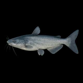
- Blue Catfish — Feeding water: 70–85°F.
- White Bass — Feeding water: 65–75°F.
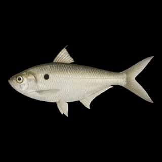
Also recorded here: Threadfin Shad.
Depth: down to 54.6 ft at the deepest measured point
Deepest measured point: 54.6 ft (16.6 m). 90.7% of the water is 42 feet or shallower. We hold 249 depth contours for this water, drawn from 391,894 soundings.
- 0–3 ft: 22% of the water
- 3–6 ft: 5.9% of the water
- 6–9 ft: 6.3% of the water
- 9–12 ft: 6.9% of the water
- 12–15 ft: 6% of the water
- 15–18 ft: 5.7% of the water
- 18–21 ft: 6.6% of the water
- 21–24 ft: 5.3% of the water
- 24–27 ft: 5.5% of the water
- 27–30 ft: 3.8% of the water
- 30–33 ft: 3.8% of the water
- 33–36 ft: 4.2% of the water
- 36–39 ft: 4% of the water
- 39–42 ft: 4.7% of the water
- 42–45 ft: 3.8% of the water
- 45–48 ft: 3.7% of the water
- 48–51 ft: 1.9% of the water
Water and conditions
Water clarity runs 3.3–6.6 feet on our readings, averaging 4.8 feet, from 72 readings. pH averages 7.6. These readings span 2016–2026.
What is hard here
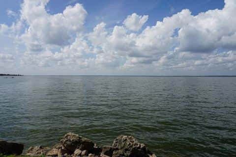
Wind is the limit, not the fish: 10,608 acres of open water build a short steep chop, and there is no shelter in the middle.
Where this data comes from
- Texas Water Development Board — Texas Water Development Board: depth contours: class A, a survey of the bottom, 2018.
- EPA NLA — EPA National Lakes Assessment: class B, a depth figure measured and published by an agency, without a bottom map.