Public registries only, and nothing else. Waters and shorelines: the USGS National Hydrography Dataset, refined with OpenStreetMap where it draws the shore better. Depths: NOAA charts, soundings and bathymetric grids, US Army Corps channel surveys, and state surveys — Florida's FWC and St Johns water district, the USF Water Institute, Georgia DNR, the Geological Survey of Alabama. Water chemistry: the Water Quality Portal, run jointly by USGS and the EPA. Boat ramps and camps: FWC and RIDB. Photos: Wikimedia Commons, with the author and licence shown. Every water page names the exact source of its own numbers.
Ask the water
Depth charts, fish records, boat ramps and a bite forecast — one assistant that reads our own surveys, not the internet.
Built from FWC, USGS and NOAA public records
78,208 lakes, rivers and bays12,931 depth charts267 fish species61,144 fishing spots: ramps, piers & shore
What we know about every water
Not a promise — a live example. This is … exactly as our pipeline sees it: surveyed depths, ramps, campgrounds, water chemistry, stocking and a bite forecast. How we measure all of it →
Slow · Good · Peak
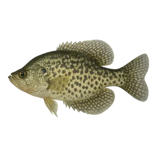
Black Crappie
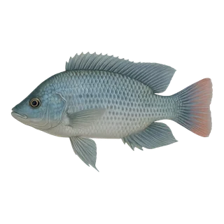
Blue Tilapia
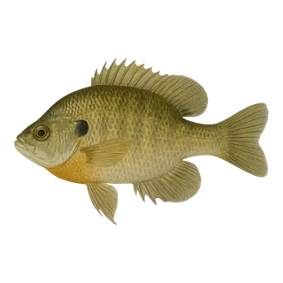
Bluegill
Bowfin
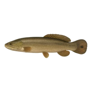
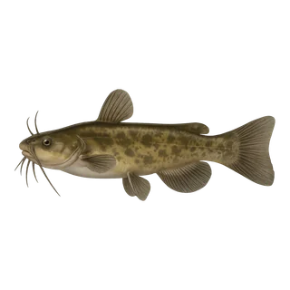
Brown Bullhead
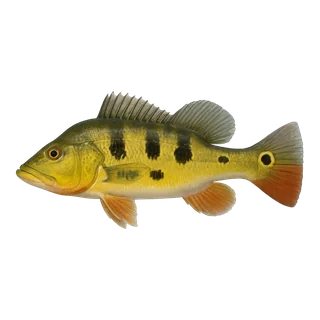
Butterfly Peacock
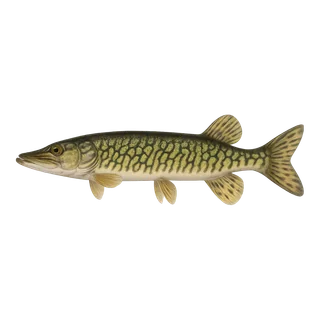
Chain Pickerel
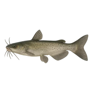
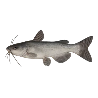
Channel Catfish
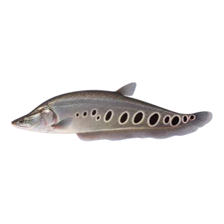
Clown Knifefish
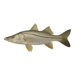
Common Snook
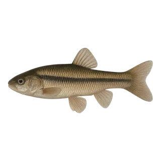
Fathead Minnow
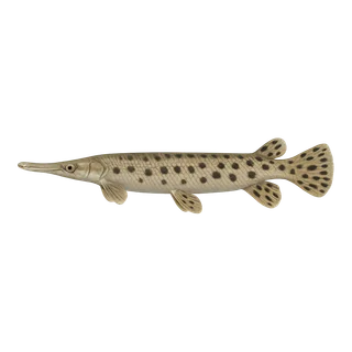
Florida Gar
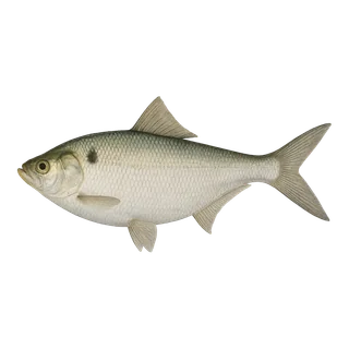
Gizzard Shad
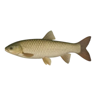
Grass Carp
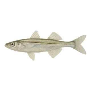
Inland Silverside
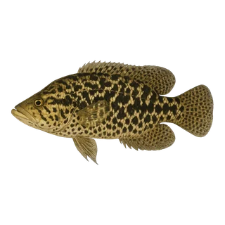
Jaguar Guapote
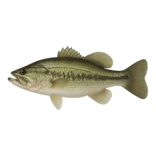
Largemouth Bass
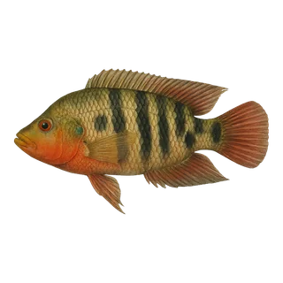
Mayan Cichlid
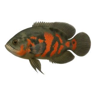
Oscar
Redbreast
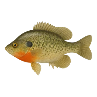
Redear
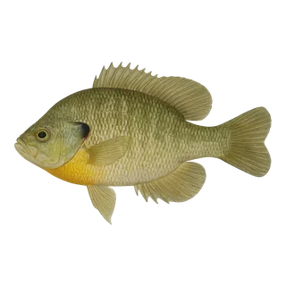
Spotted Sunfish
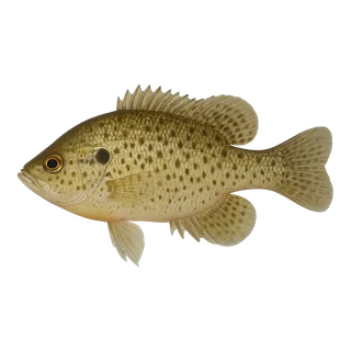
Spotted Tilapia
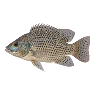
Sunshine Bass
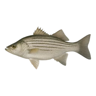
Threadfin Shad
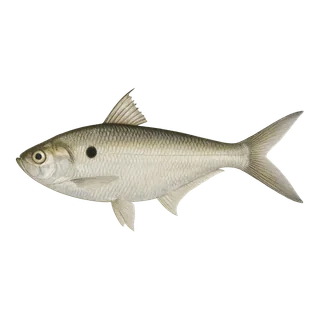
Warmouth
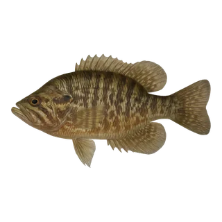
White Bass
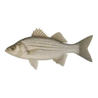
White Catfish
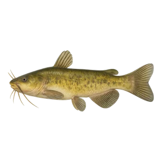
Yellow Bullhead
What kind of water
A lake, a river and a swamp ask for different tackle and a different day. Start with the one you want.
What is biting near you right now?
Tap the button — we will find the closest mapped waters, tell you what is biting there and how to drive to the ramp.
Closest watersWhat bites thereRoutes to the ramp
Works in mapped states; elsewhere we will say we are still waiting for data.
Start Your Journey
Spark Ideas For Your Next Journey
The two stories worth reading before you load the boat
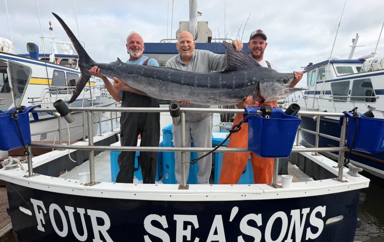
Surprise Striped Marlin Smashes 21-Year Washington State Record
ILWACO, Wash. — On August 15, 2026, a group of off-duty law enforcement officers from Oregon set out for a routine day of trolling for albacore. Instead, angler Tim Durheim ended…
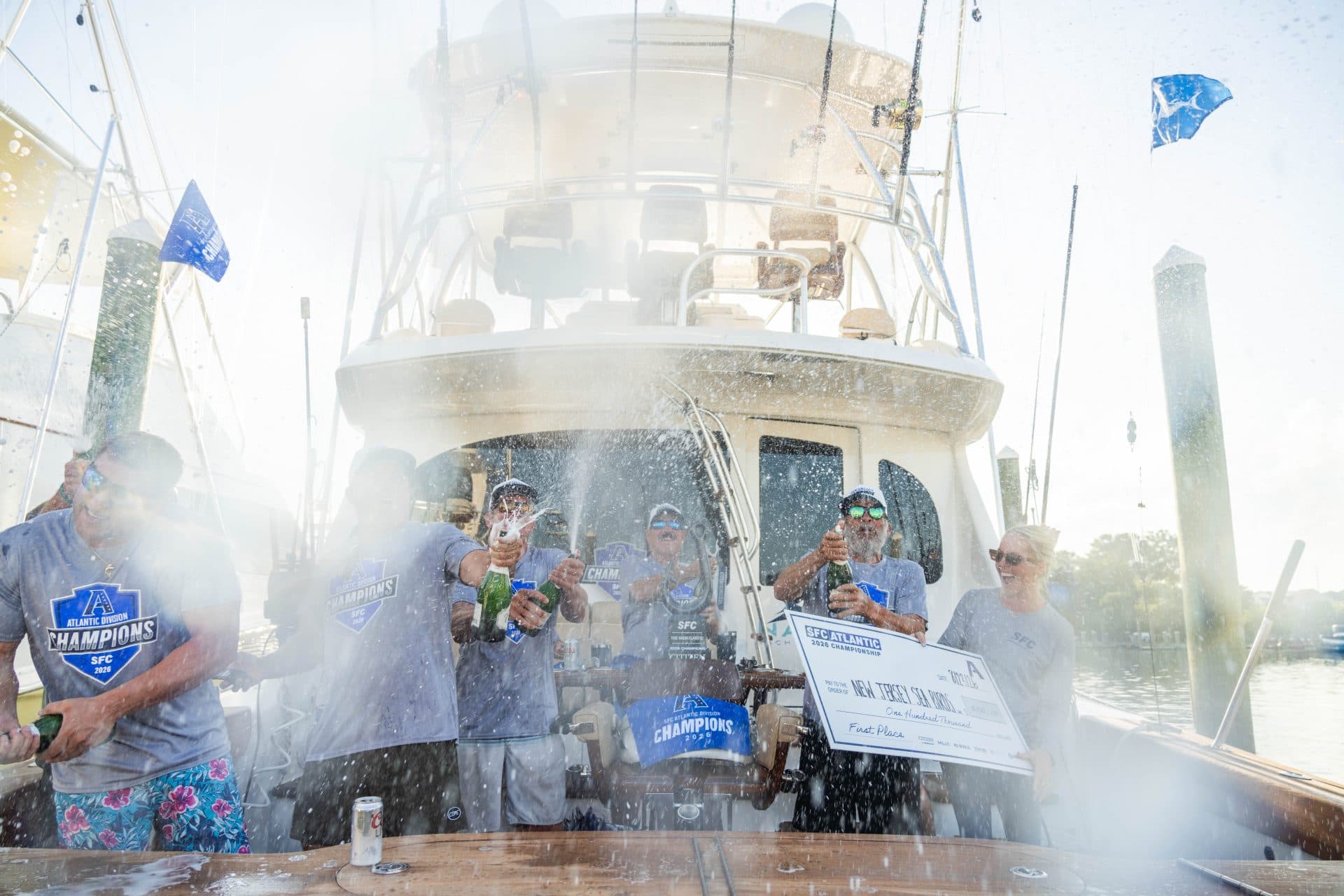
A 680-Pound Marlin and $1.47 Million: How the Sea Birds Hooked the Ultimate Championship
OCEAN CITY, Md. — It was a week that will go down in sport-fishing history. The New Jersey Sea Birds didn't just win the SFC Atlantic Division Championship—they pulled it off in…
FAQ
Where the numbers come from
We show depths, stocking and water chemistry. Fair questions to ask before trusting any of it.
Water chemistry is refreshed monthly. Stocking records follow the state schedule. Depth surveys change rarely — some go back decades, and the survey date is on every water page. The bite forecast is recomputed hourly from current weather.
Soundings and survey lines are assembled into one set of closed depth bands on a single scale. Sources measured from different reference levels are never mixed — a depth counted from the sea and a depth counted from the lake surface are different numbers, and averaging them would invent a lake that does not exist. What we left out, and why, is printed on the water's own page rather than quietly dropped.
Pressure and its trend, wind, cloud cover, air and water temperature, and moon phase, hour by hour. The score shows which part helped and which hurt — it is a weather-weighted estimate, not a promise.
Because nobody surveyed them. We hold 78,208 waters and 12,931 of them have a depth chart. Surveys are done by agencies, not by us: where one exists we publish it, and where none exists we leave the field blank rather than guessing. An invented depth is worse than no depth — it is the one number a person might actually act on.
No. They are assembled from public surveys with known gaps and are meant for finding fish, not for taking a boat through. Use official nautical charts for navigation.