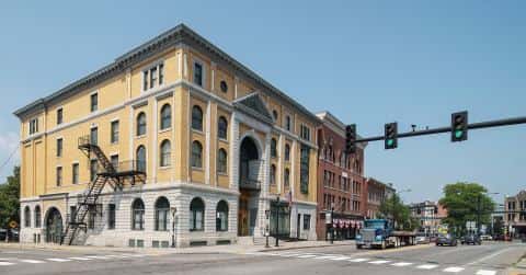
Lake Champlain fishing: Muskellunge, Atlantic Salmon, Northern Pike
Target species: Muskellunge, Atlantic Salmon, Northern Pike, Largemouth Bass, Rainbow Trout, Walleye, Smallmouth Bass
Best months: Jul, Aug, Sep for Muskellunge
Second window: May, Oct, Nov for Atlantic Salmon
Boat: 47 ramps and launches on file for this water.
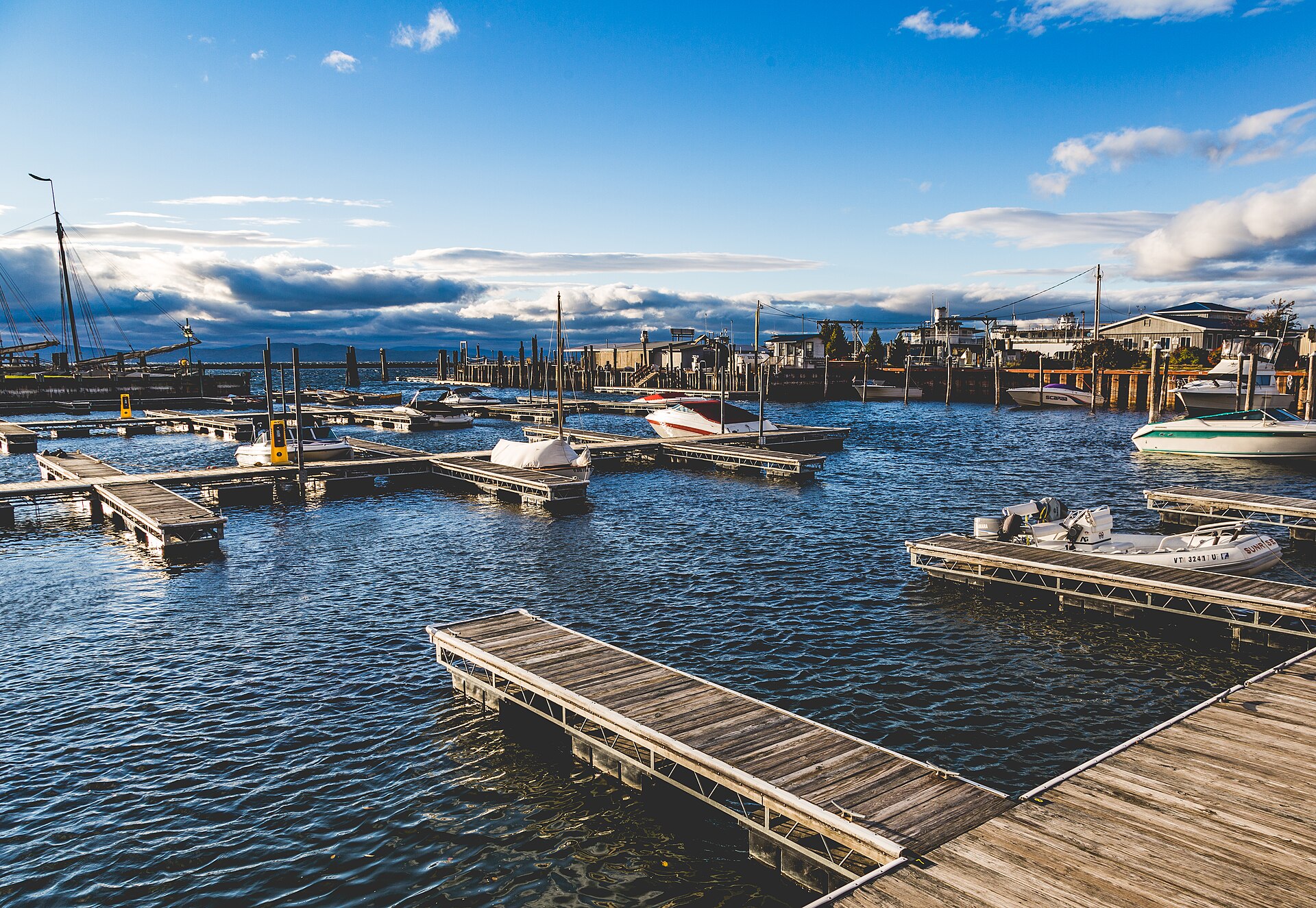
Start here: Launch at Bay Harbor Marina.
The lake
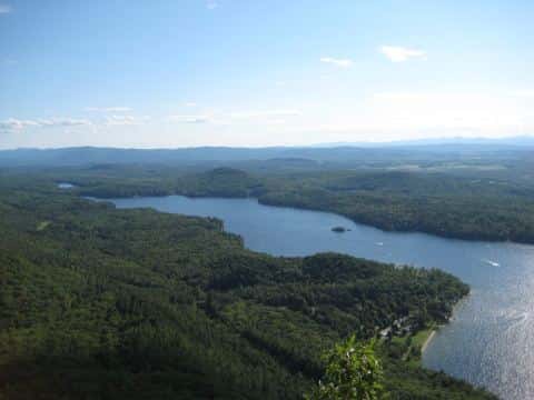
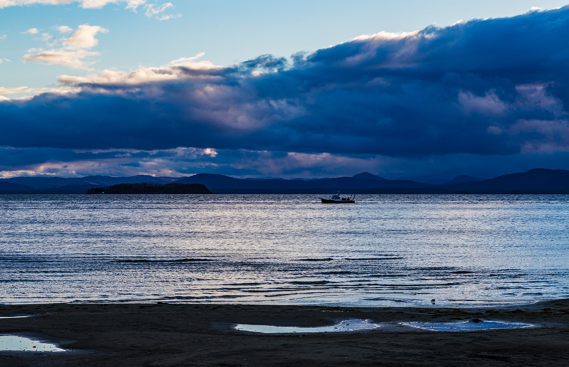
Lake Champlain covers 277,117 acres in Vermont, across 5 counties: Grand Isle, Chittenden, Franklin, Addison and Rutland. It is a lake: the deepest point measured is 399 feet (121.6 m). Our records hold 43 species for this water. 36% of the water lies in New York.
Depth: down to 399 ft at the deepest measured point
Deepest measured point: 399 ft (121.6 m). We hold 2,328 depth contours for this water, drawn from 47,589 soundings.
- 0–20 ft: 36.8% of the surveyed bottom
- 20–40 ft: 13% of the surveyed bottom
- 40–60 ft: 10% of the surveyed bottom
- 60–80 ft: 7.3% of the surveyed bottom
- 80–100 ft: 5.7% of the surveyed bottom
- 100–120 ft: 5.2% of the surveyed bottom
- 120–140 ft: 4.2% of the surveyed bottom
- 140–160 ft: 3% of the surveyed bottom
- 160–180 ft: 3.4% of the surveyed bottom
- 180–200 ft: 3.6% of the surveyed bottom
- 200–220 ft: 2% of the surveyed bottom
- 220–240 ft: 1.5% of the surveyed bottom
- 240–260 ft: 1.4% of the surveyed bottom
- 260–280 ft: 1.2% of the surveyed bottom
- 280–300 ft: 0.5% of the surveyed bottom
- 300–320 ft: 0.5% of the surveyed bottom
- 320–333 ft: 0.9% of the surveyed bottom
47 ramps and launches on this water
On this water we hold 47 boat ramps, 1 fishing pier and 8 shore access points.
- Benson Landing — restrooms. Benson, F&W.
- Chimney Point — restrooms. Addison, F&W. website anrweb.vt.gov/FWD/FW/FishingAccessAreas.aspx?ID=195
- Chipmans Point — Orwell, F&W. website vtfishandwildlife.com/access-areas-map.cfm
- Colchester Point — restrooms. Colchester, F&W. website anrweb.vt.gov/FWD/FW/FishingAccessAreas.aspx?ID=182
- Converse Bay — restrooms. Charlotte, F&W. website vtfishandwildlife.com/access-areas-map.cfm
- Dillenbeck Bay — restrooms. Alburg, F&W. website anrweb.vt.gov/FWD/FW/FishingAccessAreas.aspx?ID=21
- Fort Cassin — Ferrisburg, F&W. website vtfishandwildlife.com/access-areas-map.cfm
- George Davis (Singing Cedars) — Orwell, F&W.
- Holcomb Bay — Isle La Motte, F&W.
- Horicans — Alburg, F&W.
Fishing piers
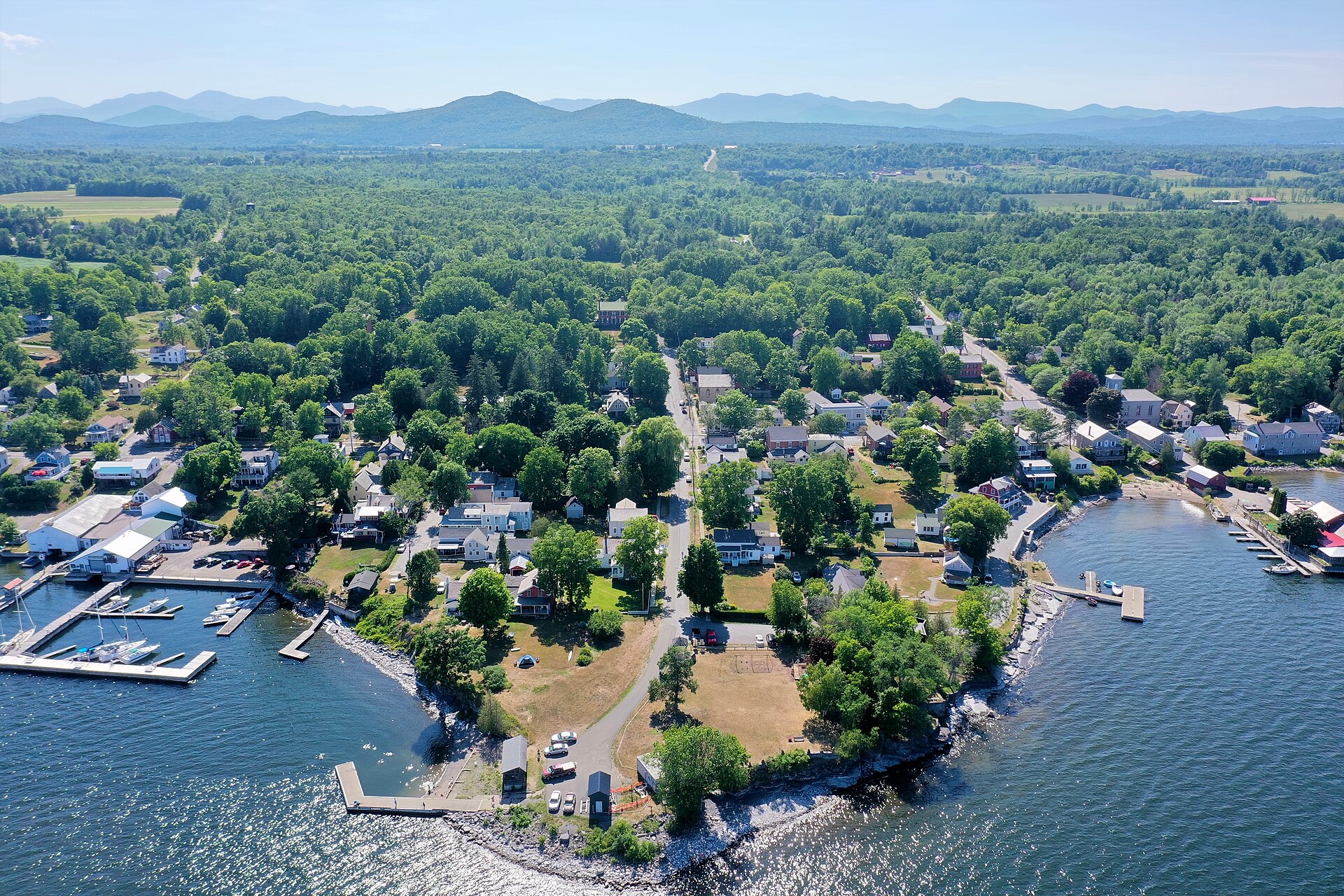
- Burlington Fishing Pier — lit for night fishing. Burlington. 11 Penny Lane, Burlington
Shore access for bank fishing
- Allen Point — restrooms. South Hero, F&W.
- Charcoal Creek — on Charcoal Creek, Swanton, F&W.
- Ed Weed — Grand Isle, F&W.
- Korean War Veterans Access — Alburg, F&W.
- McCuen Slang Access Area website anrweb.vt.gov/FWD/FW/FishingAccessAreas.aspx?aa=McCuen%20Slang
- Mt Independence — Orwell, F&W.
- North Hero Causeway — North Hero, F&W.
- Sand Bar Refuge — Milton, F&W. website anrweb.vt.gov/FWD/FW/FishingAccessAreas.aspx?ID=146
Fee and opening hours are blank for all 19 places in this list: a blank means we hold no such field, not that it is free or always open, and this list may not be complete.
7 target fish, led by Muskellunge
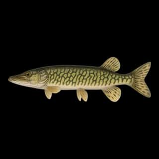
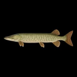
- Muskellunge — Best months: Jul, Aug, Sep.
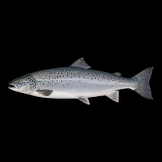
- Atlantic Salmon — Best months: May, Oct, Nov.
- Northern Pike — Best months: May, Jun, Sep, Oct.
- Largemouth Bass — Best months: Jul, Aug, Sep.
- Rainbow Trout — Best months: May, Jun, Oct, Nov.
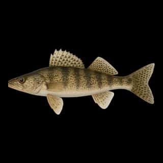
- Walleye — Best months: May, Jun, Sep, Oct.
- Smallmouth Bass — Best months: Jun, Jul, Aug, Sep.
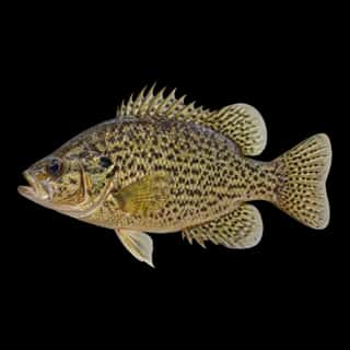
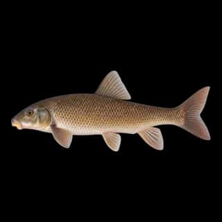
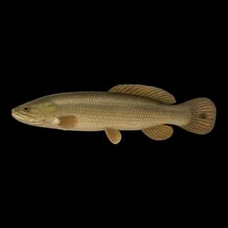
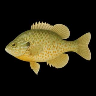
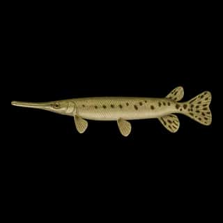
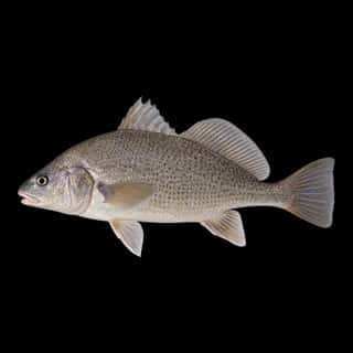
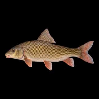
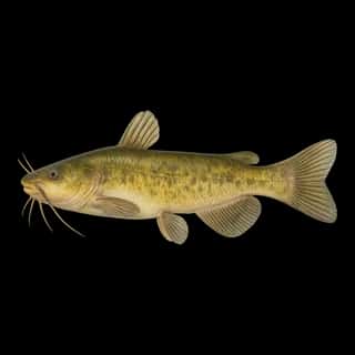
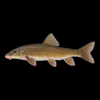
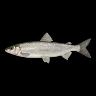
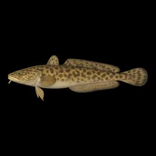
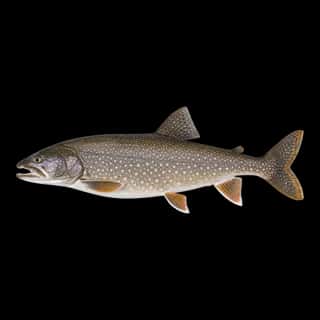
Also recorded here: Channel Catfish, Freshwater Drum, Lake Trout, Brown Trout, Burbot, Chain Pickerel, Lake Whitefish, Longnose Sucker, Sauger, Shorthead Redhorse, White Sucker, Black Crappie, White Crappie, Bluegill, Cisco, Rock Bass, Yellow Perch, Pumpkinseed, Bowfin, Longnose Gar.
Stocking: 9,640,473 fish, 2009–2026
Vermont Fish & Wildlife Department records list 9,640,473 fish released into this water from 2009 to 2026.
- Walleye: 3,448,218 in 2009–2026
- Lake Trout: 976,561 in 2009–2025
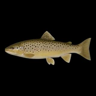
- Brown Trout: 897,201 in 2009–2026
- Rainbow Trout: 14,802 in 2009–2021
- Muskellunge: 5,150 in 2011
3 more species on the stocking list.
Water and conditions
Water clarity runs 4.6–18 feet on our readings, averaging 12.1 feet, from 2,117 readings. Our water temperature readings average 66°F; they do not cover the whole year, so this is not a yearly average. The coldest single reading we hold is 32°F and the warmest is 80°F; the warmest monthly average is 74°F. pH averages 8.2. These readings span 2016–2024.
What is hard here
Wind is the limit, not the fish: 277,117 acres of open water build a short steep chop, and there is no shelter in the middle. Clarity swings from 4.6 to 18 feet between our readings — the water you meet is not the water someone photographed.
Where this data comes from
- USACE eHydro — USACE eHydro channel surveys: class A, a survey of the bottom.
- Vermont Center for Geographic Information (NOAA charts + LCBP LAKEBATH) — Lake Champlain soundings (VCGI): class A, a survey of the bottom.
- NOAA ENC — NOAA Electronic Navigational Charts: soundings: class A, a survey of the bottom.
- NOAA ENC — NOAA Electronic Navigational Charts: depth contours: class A, a survey of the bottom.
- EPA NLA — EPA National Lakes Assessment: class B, a depth figure measured and published by an agency, without a bottom map.
- Webster, K.E., McCullough, I.M., Soranno, P.A. LAGOS-US DEPTH v1.0, EDI, doi:10.6073/pasta/64ddc4d04661d9aef4bd702dc5d8984f (CC BY 4.0); Cheruvelil et al. LAGOS-US LOCUS v1.0 (EDI) — LAGOS-US DEPTH v1.0: Lake depth for 17,675 lakes in the conterminous U.S.: class B, a depth figure measured and published by an agency, without a bottom map.