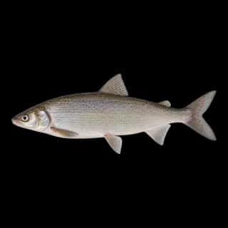
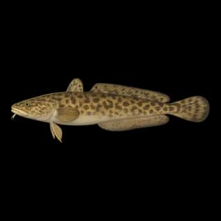
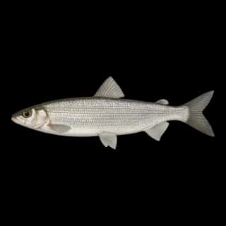
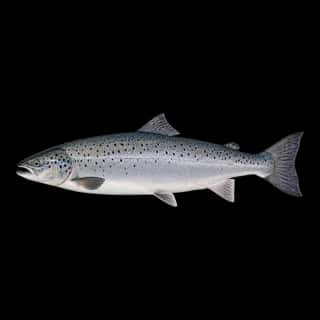
Lake Superior fishing: Northern Pike, Rainbow Trout, Walleye
Target species: Northern Pike, Rainbow Trout, Walleye, Brook Trout, Smallmouth Bass, Lake Trout, White Sucker
Best months: Jun, Jul, Aug, Sep for Northern Pike
Second window: Jun, Jul, Sep, Oct for Rainbow Trout
Boat: 75 ramps and launches on file for this water.
Start here: Launch at Lake Superior, McQuade Safe Harbor Public Water Access Site, 4 lanes.
The lake
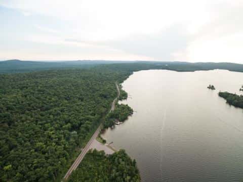
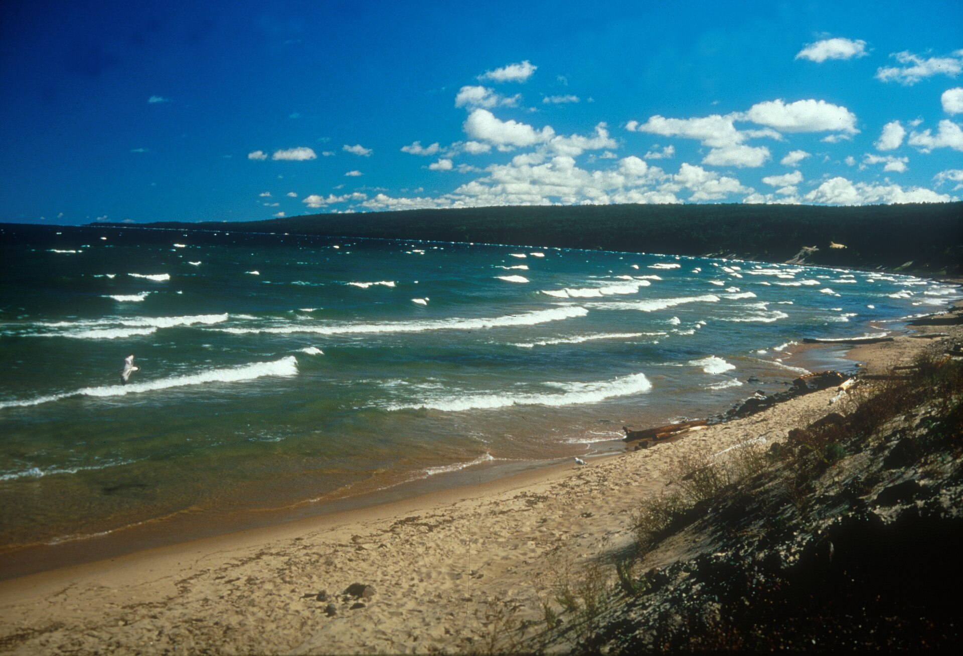
Lake Superior covers 20,263,175 acres in Michigan, across Keweenaw County. It is a lake: the deepest point measured is 962 feet (293.1 m). Our records hold 31 species for this water. 16% of the water lies in Wisconsin. 12% of the water lies in Minnesota.
Depth: down to 962 ft at the deepest measured point
Deepest measured point: 962 ft (293.1 m). We hold 17,646 depth contours for this water, drawn from 18,377,515 soundings.
75 ramps and launches on this water
On this water we hold 34 trailer ramps, 40 boat ramps, 1 hand launch and 19 shore access points.
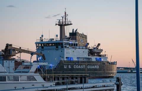
- Burt Township — 2 lanes. Grand Marais, Burt Township. E21783 Coast Guard Point, Grand Marais 49839 · phone 231-907-0500 · website mcgi.state.mi.us/mrbis/BASDetail.aspx?sid=A-02-016
- Big Bay Harbor — 1 lane. Big Bay, Marquette County. phone 906-345-5548 · website mcgi.state.mi.us/mrbis/BASDetail.aspx?sid=A-52-062
- Alan Tomczak Park Public Boat Landing — City Of Ashland, Parks Department. phone (715) 682-7061
- Bark Point Boat Landing — Town Of Clover, Town of Clover. phone 715-774-3780
- Barkers Island Marina — on Superior Bay, City Of Superior, Superior Park & Rec. Dept. phone (715) 395-7270
- Bayfield City Boat Launch — City Of Bayfield, City of Bayfield. phone (715) 779-5712
- Bois Brule River Mouth Access — Town Of Cloverland, Brule River State Forest. phone (715) 372-5678
- Bono Creek — Town Of Barksdale, Forester. phone (715) 373-6165
- Hot Pond Overlook Boat Ramp — City Of Ashland, Parks Department. phone (715) 682-7061
- Kreher Park Boat Landing — City Of Ashland, Parks Department. phone (715) 682-7061
Car-top and kayak launches — no trailer
- Baraga State Park — restrooms. phone 906-353-6558 · website mcgi.state.mi.us/mrbis/BASDetail.aspx?sid=A-07-024
Shore access for bank fishing
- French River Public Water Access Site — restrooms. DNR Division of Fish and Wildlife.
- Herbster Landing — Town Of Clover, Town of Clover. phone 715-774-3780
- Lake Superior, Baptism River Public Water Access Site — DNR Division of Parks and Trails.
- Lake Superior, Black Beach Public Water Access Site — North Shore Mining.
- Lake Superior, Brighton Beach Public Water Access Site
- Lake Superior, Cascade River Public Water Access Site — DNR Division of Parks and Trails.
- Lake Superior, Cut Face Creek Wayside Rest Public Water Access Site — restrooms. MNDOT.
- Lake Superior, Flood Bay Wayside Rest Public Water Access Site — MNDOT.
Fee and opening hours are blank for all 19 places in this list: a blank means we hold no such field, not that it is free or always open, and this list may not be complete.
7 target fish, led by Northern Pike
- Northern Pike — Best months: Jun, Jul, Aug, Sep.
- Rainbow Trout — Best months: Jun, Jul, Sep, Oct.
- Walleye — Best months: Jun, Jul, Aug, Sep.
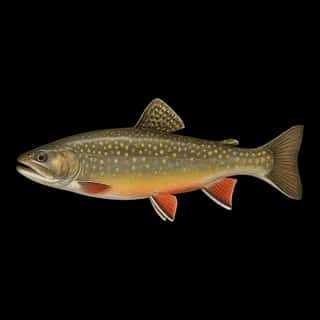
- Brook Trout — Best months: Jun, Jul, Sep, Oct.
- Smallmouth Bass — Best months: Jul, Aug, Sep.
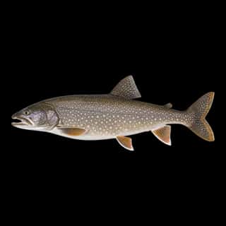
- Lake Trout — Best months: Jun, Jul, Sep, Oct.
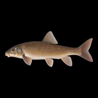
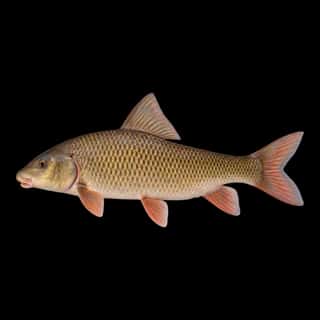
- White Sucker — Best months: Jun, Jul, Aug, Sep.
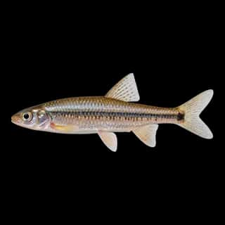
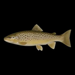
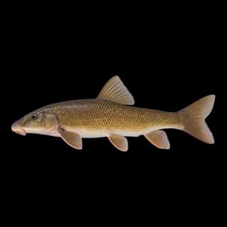
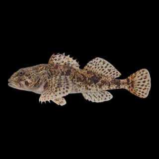
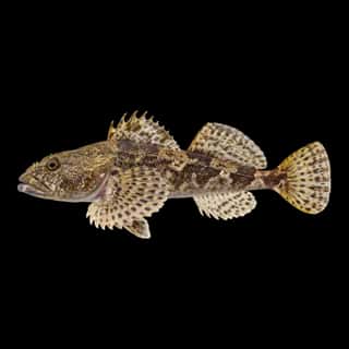
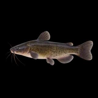
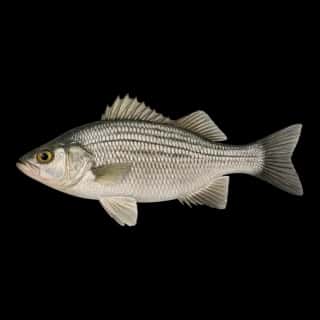
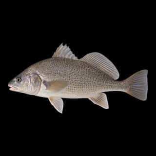
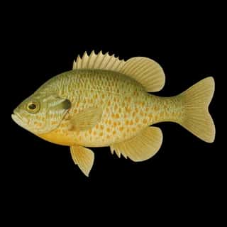
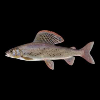
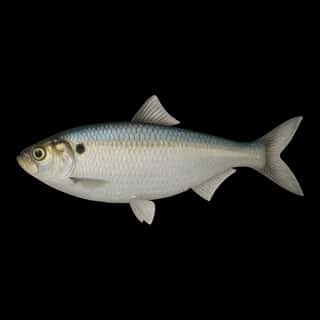
Also recorded here: Atlantic Salmon, Striped Bass, Longnose Sucker, Burbot, Yellow Perch, Lake Whitefish, Shorthead Redhorse, Black Bullhead, Brown Trout, White Bass, Black Crappie, Bluegill, Cisco, Freshwater Drum, Arctic Grayling, Common Carp, Slimy Sculpin, Mottled Sculpin, Spottail Shiner, Alewife.
Stocking: 69,814,627 fish, 1996–2025
USFWS/GLFC records list 69,814,627 fish released into this water from 1996 to 2025.
- Lake Trout: 56,966,906 in 1997–2017
- Walleye: 9,613,722 in 1997–2018
- Brook Trout: 2,115,566 in 2006–2025
- Rainbow Trout: 667,395 in 1975–2025
- Yellow Perch: 402,651 in 2010–2020
One more species on the stocking list.
Water and conditions
Water clarity runs 1.9–38.6 feet on our readings, averaging 19.2 feet, from 806 readings. Water temperature averages 58°F across the year. pH averages 7.7. These readings span 2016–2025.
What is hard here
Wind is the limit, not the fish: 20,263,175 acres of open water build a short steep chop, and there is no shelter in the middle. Clarity swings from 1.9 to 38.6 feet between our readings — the water you meet is not the water someone photographed. Winter water drops to 33°F, and the warm-water species stop feeding well before you do.
Where this data comes from
- NOAA National Geodetic Survey / Office for Coastal Management — NOAA topobathymetric lidar DEMs: class A, a survey of the bottom, 2019.
- NOAA NOS Hydro — NOAA NOS hydrographic survey archive: class A, a survey of the bottom.
- USACE eHydro — USACE eHydro channel surveys: class A, a survey of the bottom.
- NOAA ENC — NOAA Electronic Navigational Charts: soundings: class A, a survey of the bottom.
- NOAA ENC — NOAA Electronic Navigational Charts: depth contours: class A, a survey of the bottom.