Portage Lake fishing: Walleye, Brook Trout, Rainbow Trout
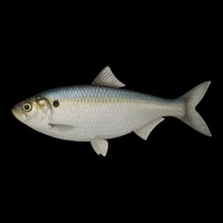
Target species: Walleye, Brook Trout, Rainbow Trout, Lake Whitefish, Sauger, Shorthead Redhorse, Cisco
Boat: 3 ramps and launches on file for this water.
Start here: Launch at Centennial Park, 3 lanes.
The lake
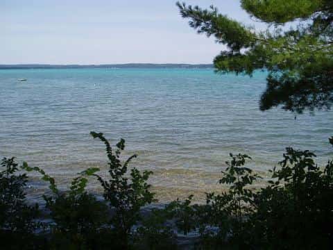
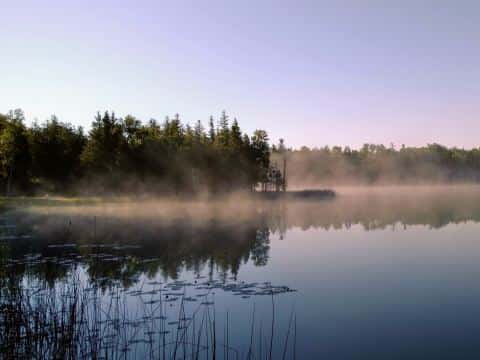
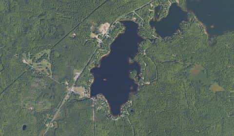
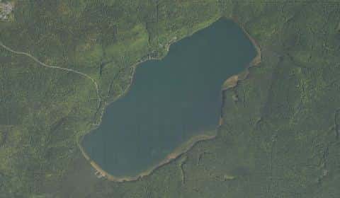
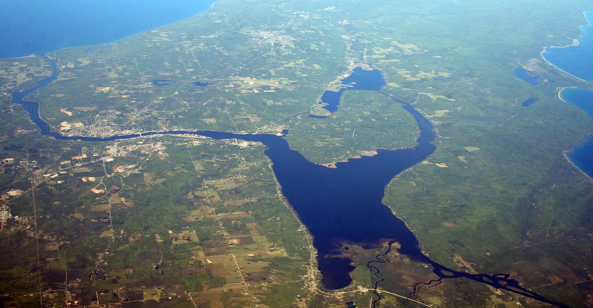
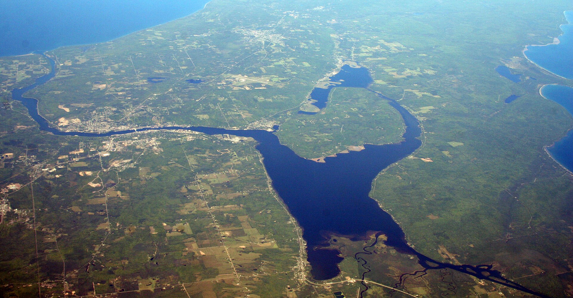
Portage Lake covers 8,895 acres in Michigan, across Houghton County. It is a lake: 97.8% of it is 45 feet deep or less; the deepest point measured is 67.9 feet (20.7 m). Our records hold 12 species for this water.
Depth: down to 67.9 ft at the deepest measured point
Deepest measured point: 67.9 ft (20.7 m). 97.8% of the water is 45 feet or shallower. We hold 131 depth contours for this water, drawn from 436 soundings.
- 0–3 ft: 8.9% of the water
- 3–6 ft: 6.7% of the water
- 6–9 ft: 5.9% of the water
- 9–12 ft: 4.4% of the water
- 12–15 ft: 4.1% of the water
- 15–18 ft: 4.9% of the water
- 18–21 ft: 4% of the water
- 21–24 ft: 3.7% of the water
- 24–27 ft: 4.1% of the water
- 27–30 ft: 5.1% of the water
- 30–33 ft: 6.9% of the water
- 33–36 ft: 10% of the water
- 36–39 ft: 11.2% of the water
- 39–42 ft: 10% of the water
- 42–45 ft: 7.9% of the water
- 45–47 ft: 2.3% of the water
7 target fish, led by Walleye
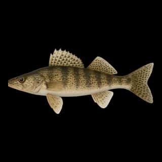
- Walleye — Feeding water: 50–75°F.
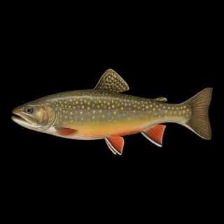
- Brook Trout — Feeding water: 50–65°F.
- Rainbow Trout — Feeding water: 50–65°F.
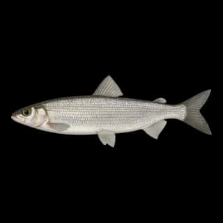
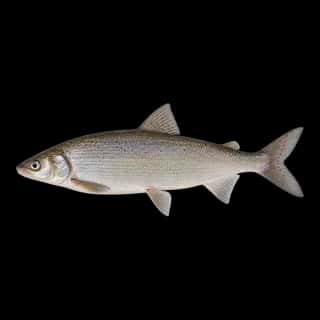
- Lake Whitefish — Feeding water: 40–55°F.
- Sauger — Feeding water: 45–65°F.
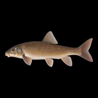
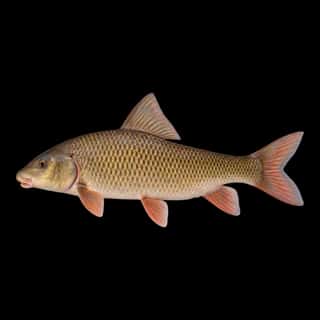
- Shorthead Redhorse — Feeding water: 60–75°F.
- Cisco — Feeding water: 40–60°F.
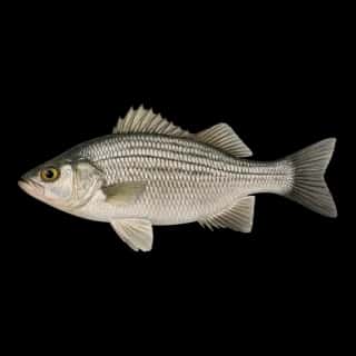
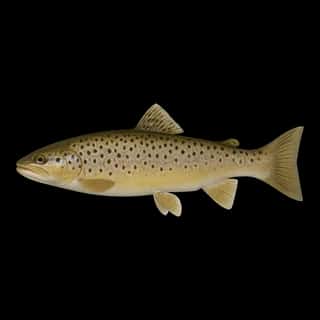
Also recorded here: Brown Trout, Brown Bullhead, Common Carp, Alewife, White Perch.
Stocking: 23,253,445 fish, 1986–2025
Michigan DNR records list 23,253,445 fish released into this water from 1986 to 2025.
- Walleye: 23,253,195 in 1999–2025
- Brook Trout: 125 in 1986
- Rainbow Trout: 125 in 1986
3 ramps and launches on this water
On this water we hold 3 trailer ramps.
- Centennial Park — 3 lanes. Chassell Township. phone 906-523-4000 · website mcgi.state.mi.us/mrbis/BASDetail.aspx?sid=A-31-028
- Bootjack — 1 lane, restrooms. McLain State Park. phone 906-482-0278 · website mcgi.state.mi.us/mrbis/BASDetail.aspx?sid=A-31-004
- Sandy Bottom — 1 lane. Osceola Township. phone 906-482-8478 · website mcgi.state.mi.us/mrbis/BASDetail.aspx?sid=A-31-029
Fee and opening hours are blank for all 3 places in this list: a blank means we hold no such field, not that it is free or always open, and this list may not be complete.
What is hard here
Wind is the limit, not the fish: 8,895 acres of open water build a short steep chop, and there is no shelter in the middle.
Where this data comes from
- NOAA ENC — NOAA Electronic Navigational Charts: soundings: class A, a survey of the bottom.
- NOAA ENC — NOAA Electronic Navigational Charts: depth contours: class A, a survey of the bottom.
- NOAA National Bathymetric Source (S-102 ed3.0.0) — NOAA S-102 bathymetric surfaces: contours: class A, a survey of the bottom.