St. Marys River fishing: Smallmouth Bass, Northern Pike, Walleye
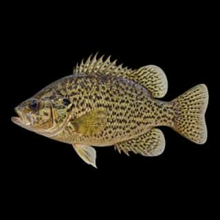
Target species: Smallmouth Bass, Northern Pike, Walleye, Atlantic Salmon, Rainbow Trout, White Sucker, Yellow Perch
Best months: Jul, Aug for Smallmouth Bass
Second window: Jun, Jul, Aug, Sep for Northern Pike
Boat: 10 ramps and launches on file for this water.
Start here: Launch at Ashmun Bay Park, 3 lanes.
The river
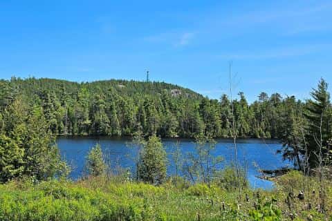
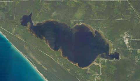
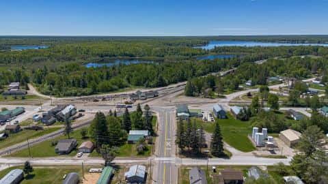
St. Marys River covers 147,915 acres in Michigan. It is a river: the deepest figure on record is 164 feet (50 m), as published by NOAA NCEI Great Lakes, a figure without a map of the bottom. Our records hold 28 species for this water.
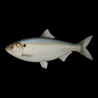
7 target fish, led by Smallmouth Bass
- Smallmouth Bass — Best months: Jul, Aug.
- Northern Pike — Best months: Jun, Jul, Aug, Sep.
- Walleye — Best months: Jun, Jul, Aug, Sep.
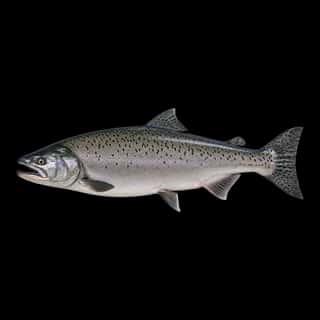
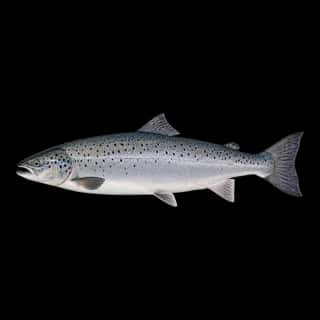
- Atlantic Salmon — Best months: May, Jun, Sep, Oct.
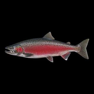
- Rainbow Trout — Best months: Jun, Jul, Sep, Oct.
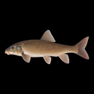
- White Sucker — Best months: Jun, Jul, Aug, Sep.
- Yellow Perch — Best months: Jun, Jul, Aug, Sep.
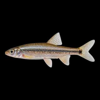
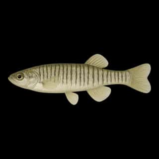
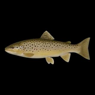
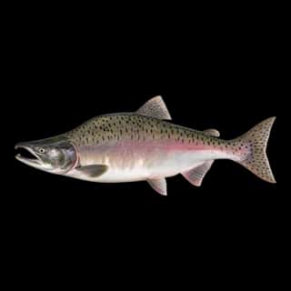
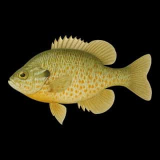
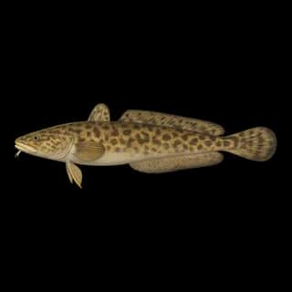
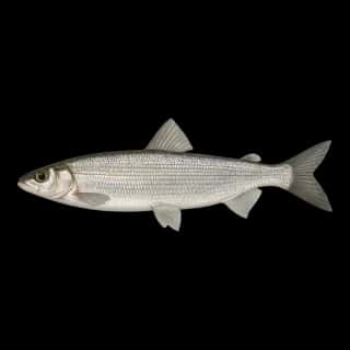
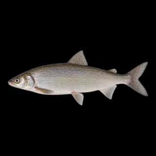
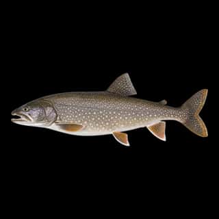
Also recorded here: Pumpkinseed, Rock Bass, Silver Redhorse, Brown Trout, Lake Whitefish, Burbot, Longnose Sucker, Cisco, Freshwater Drum, Lake Trout, Brown Bullhead, Common Carp, Spottail Shiner, Banded Killifish, Alewife, Golden Shiner, Gizzard Shad, Pink Salmon, Coho Salmon, Chinook Salmon.
Stocking: 2,933,512 fish, 1976–2025
USFWS/GLFC records list 2,933,512 fish released into this water from 1976 to 2025.
- Walleye: 2,845,112 in 2000–2025
- Lake Trout: 88,400 in 1976–1985
10 ramps and launches on this water
On this water we hold 7 trailer ramps and 3 boat ramps.
- Charles T. Harvey Marina — Sault Ste. Marie, City of Sault Ste. Marie. 2442 Riverside Drive, Sault Ste. Marie 49783 · website saultcity.com/parksrec/page/charles-t-harvey-boat-launch
- Ashmun Bay Park — 3 lanes. On Saint Marys River. phone 800-647-2858 · website mcgi.state.mi.us/mrbis/BASDetail.aspx?sid=A-17-025
- Charles T. Harvey — 2 lanes. On Saint Marys River. phone 906-632-6741 · website mcgi.state.mi.us/mrbis/BASDetail.aspx?sid=A-17-027
- Conely Point — 2 lanes, restrooms. On Saint Marys River, Brimley State Park. phone 906-248-3422
- Brimley State Park — 1 lane, open 8am–10pm. On Saint Marys River, Brimley State Park. phone 906-248-3422 · website mcgi.state.mi.us/mrbis/BASDetail.aspx?sid=A-17-018
- Dunbar — 1 lane, restrooms. On Charlotte River, Bruce Township. phone 906-635-3058 · website mcgi.state.mi.us/mrbis/BASDetail.aspx?sid=A-17-032
- Raber Township Park — 1 lane. On Raber Bay, Raber Township. phone 906-297-2106 · website mcgi.state.mi.us/mrbis/BASDetail.aspx?sid=A-17-024
- Sugar Island — 1 lane, restrooms. On Saint Marys River, Brimley State Park. phone 906-248-3422 · website mcgi.state.mi.us/mrbis/BASDetail.aspx?sid=A-17-009
- Aune-Osborn Park — on Saint Marys River. phone 906-632-3259 · website mcgi.state.mi.us/mrbis/BASDetail.aspx?sid=A-17-012
- George Kemp Downtown Marina — Sault Sainte Marie. 485 East Water Street, Sault Sainte Marie 49783 · phone +1-906-632-3658 · website saulthistoricsites.com/kemp-marina
Fee and opening hours are blank for all 10 places in this list: a blank means we hold no such field, not that it is free or always open, and this list may not be complete.
Water and conditions
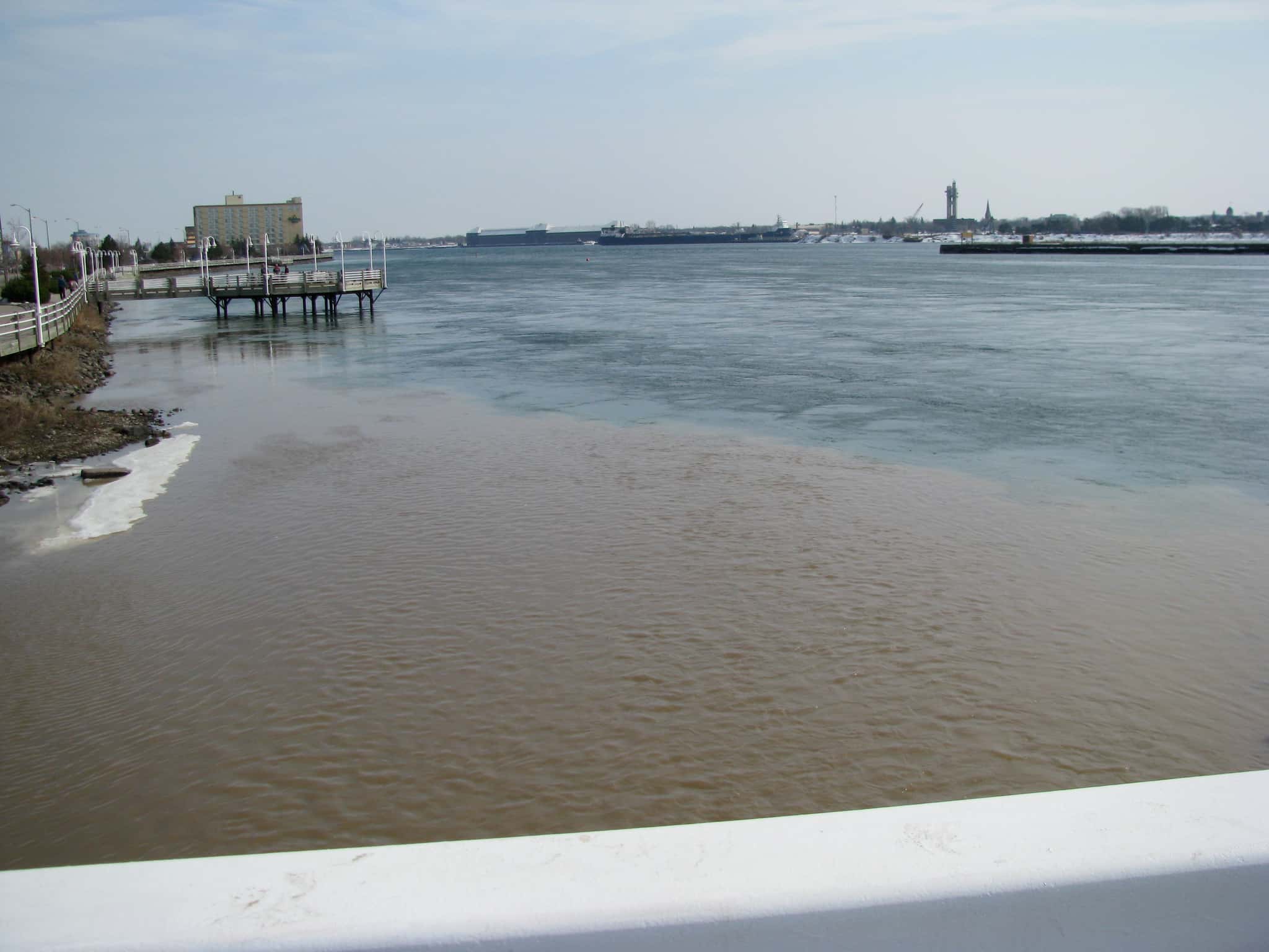
Water clarity runs 1.3–11.5 feet on our readings, averaging 5.4 feet, from 85 readings. Our water temperature readings average 59°F; they do not cover the whole year, so this is not a yearly average. pH averages 7.7. These readings span 2016–2025.
Depth and bottom
Deepest figure on record: 164 ft (50 m), as published by NOAA NCEI Great Lakes. We hold no survey map of this bottom, so we show no depth bands. We hold 754 depth contours for this water, drawn from 1,432,991 soundings.
What is hard here
Clarity swings from 1.3 to 11.5 feet between our readings — the water you meet is not the water someone photographed.
Where this data comes from
- USACE eHydro — USACE eHydro channel surveys: class A, a survey of the bottom.
- NOAA National Geodetic Survey / Office for Coastal Management — NOAA topobathymetric lidar DEMs: class A, a survey of the bottom, 2019.
- NOAA NOS Hydro — NOAA NOS hydrographic survey archive: class A, a survey of the bottom.
- NOAA ENC — NOAA Electronic Navigational Charts: soundings: class A, a survey of the bottom.
- NOAA NCEI Great Lakes — NOAA Great Lakes bathymetry: class B, a depth figure measured and published by an agency, without a bottom map.
- NOAA ENC — NOAA Electronic Navigational Charts: depth contours: class A, a survey of the bottom.
- NOAA Digital Coast — NOAA Digital Coast bathymetric lidar: class A, a survey of the bottom, 1983.