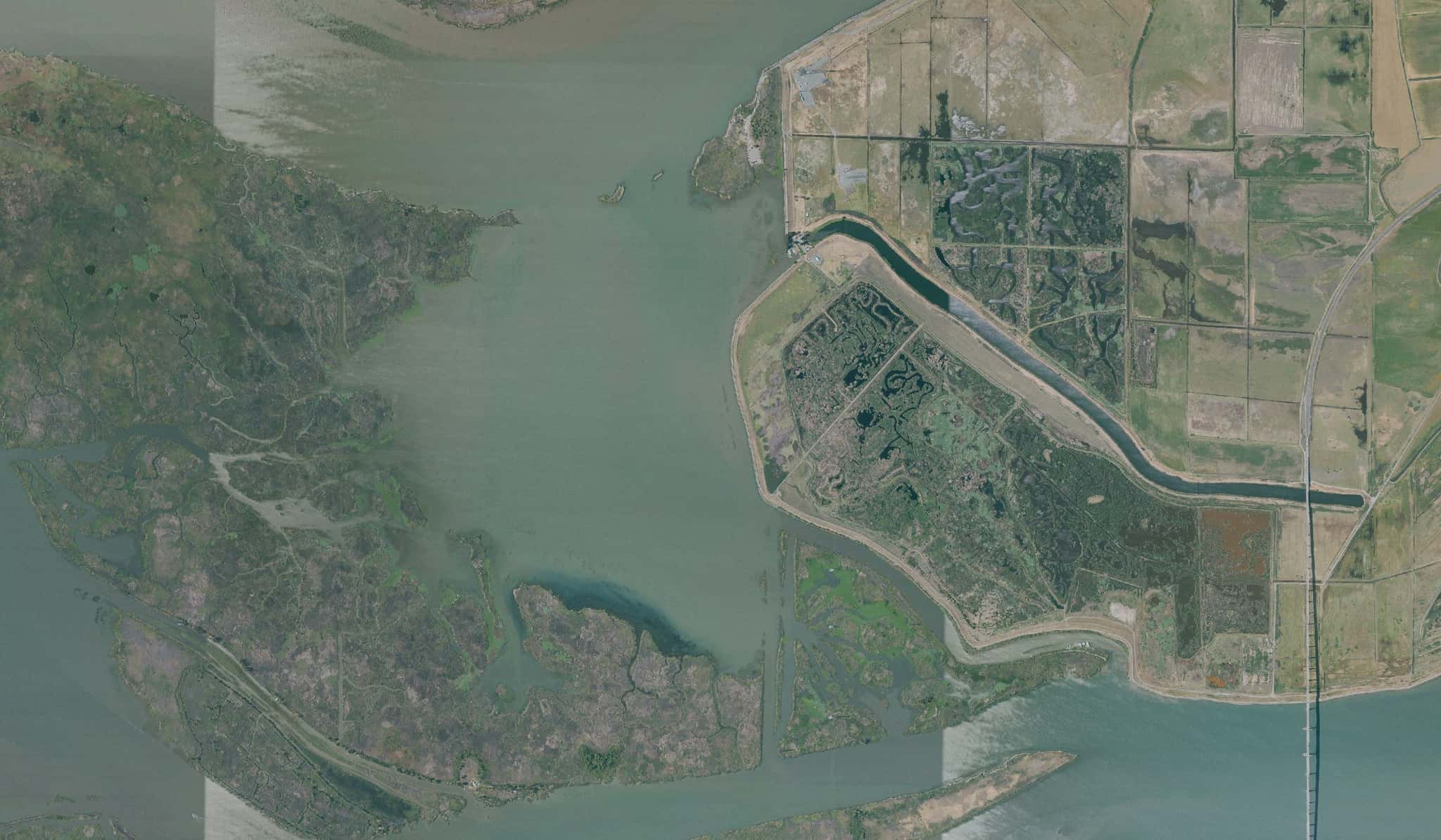
Sherman Lake fishing: Striped Bass, Largemouth Bass, Smallmouth Bass
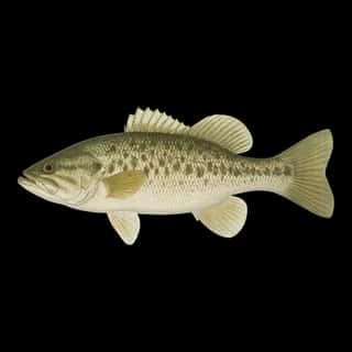
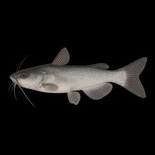
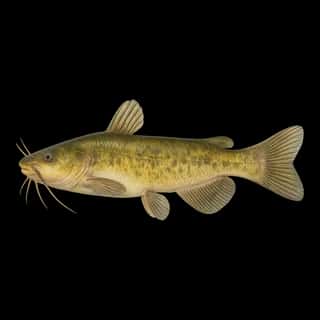
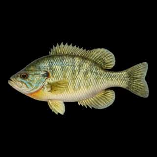
Target species: Striped Bass, Largemouth Bass, Smallmouth Bass, White Catfish, Warmouth, Green Sunfish, Channel Catfish
Boat: 2 ramps and launches on file for this water.
Start here: Launch at Foil Kite / Wing launch.
The lake
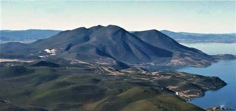
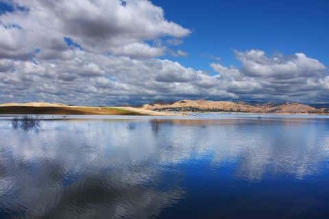
Sherman Lake covers 1,298 acres in California, across Sacramento County. It is a lake: the deepest point measured is 49.5 feet (15.1 m). Our records hold 26 species for this water.
7 target fish, led by Striped Bass
- Striped Bass — Feeding water: 60–75°F.
- Largemouth Bass — Feeding water: 65–85°F.
- Smallmouth Bass — Feeding water: 60–75°F.
- White Catfish — Feeding water: 70–85°F.
- Warmouth — Feeding water: 70–85°F.
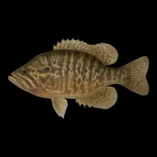
- Green Sunfish — Feeding water: 65–80°F.
- Channel Catfish — Feeding water: 70–85°F.
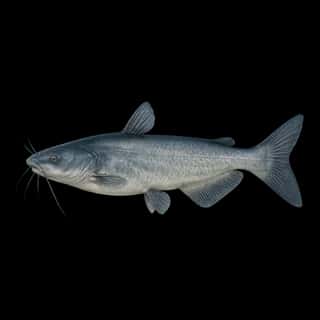
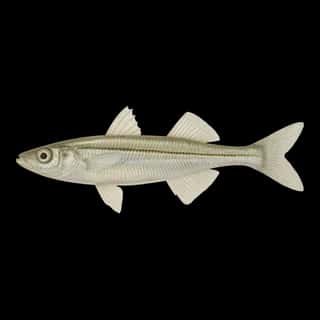
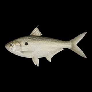
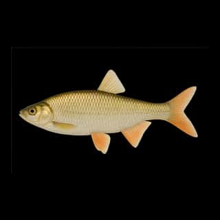
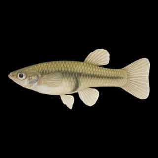
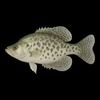
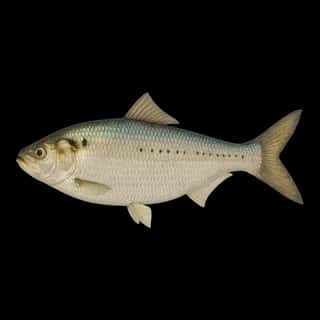
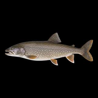
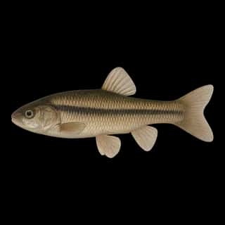
Also recorded here: American Shad, Black Bullhead, Black Crappie, White Crappie, Bluegill, Redear, Blue Catfish, Lake Trout, Spotted Bass, Yellow Perch, Brown Bullhead, Yellow Bullhead, Common Carp, Goldfish, Golden Shiner, Fathead Minnow, Threadfin Shad, Western Mosquitofish, Inland Silverside.
Depth: down to 49.5 ft at the deepest measured point
Deepest measured point: 49.5 ft (15.1 m). We hold 3 depth contours for this water, drawn from 1,752 soundings.
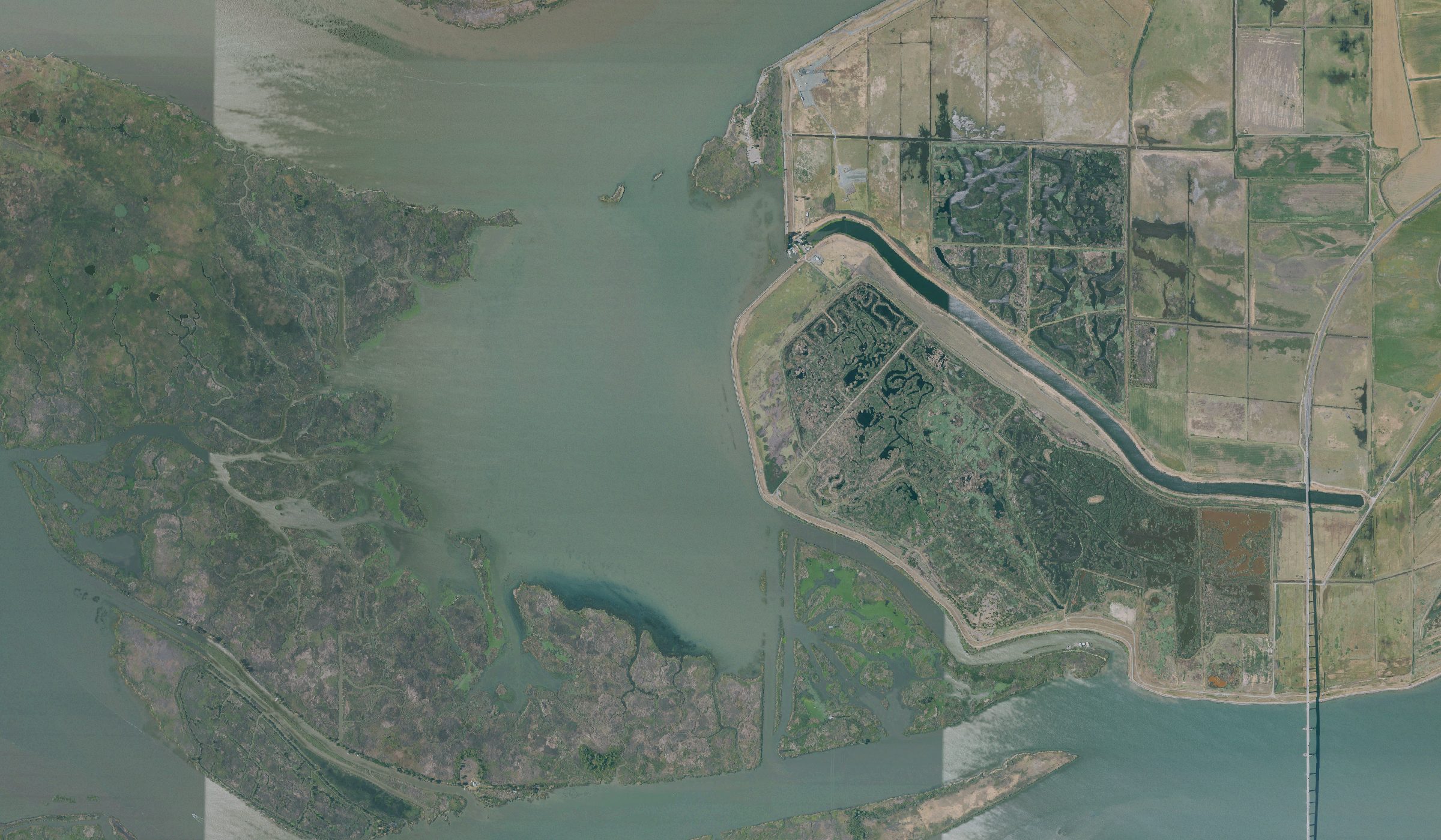
2 ramps and launches on this water
On this water we hold 2 boat ramps.
- Foil Kite / Wing launch website sfba.org/sherman-island-park.html
- Kitesurf launch website sfba.org/sherman-island-park.html
Fee and opening hours are blank for all 2 places in this list: a blank means we hold no such field, not that it is free or always open, and this list may not be complete.
What is hard here
Only 2 public ramps are on file, so the launch decides where you fish.
Where this data comes from
- NOAA NOS Hydro — NOAA NOS hydrographic survey archive: class A, a survey of the bottom.
- NOAA National Bathymetric Source (S-102 ed3.0.0) — NOAA S-102 bathymetric surfaces: contours: class A, a survey of the bottom.
- NOAA BlueTopo: class A, a survey of the bottom.
- NOAA ENC — NOAA Electronic Navigational Charts: soundings: class A, a survey of the bottom.
- NOAA ENC — NOAA Electronic Navigational Charts: depth contours: class A, a survey of the bottom.