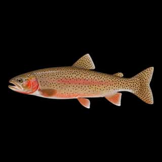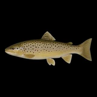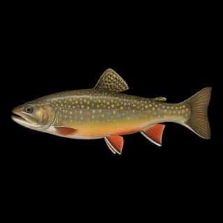
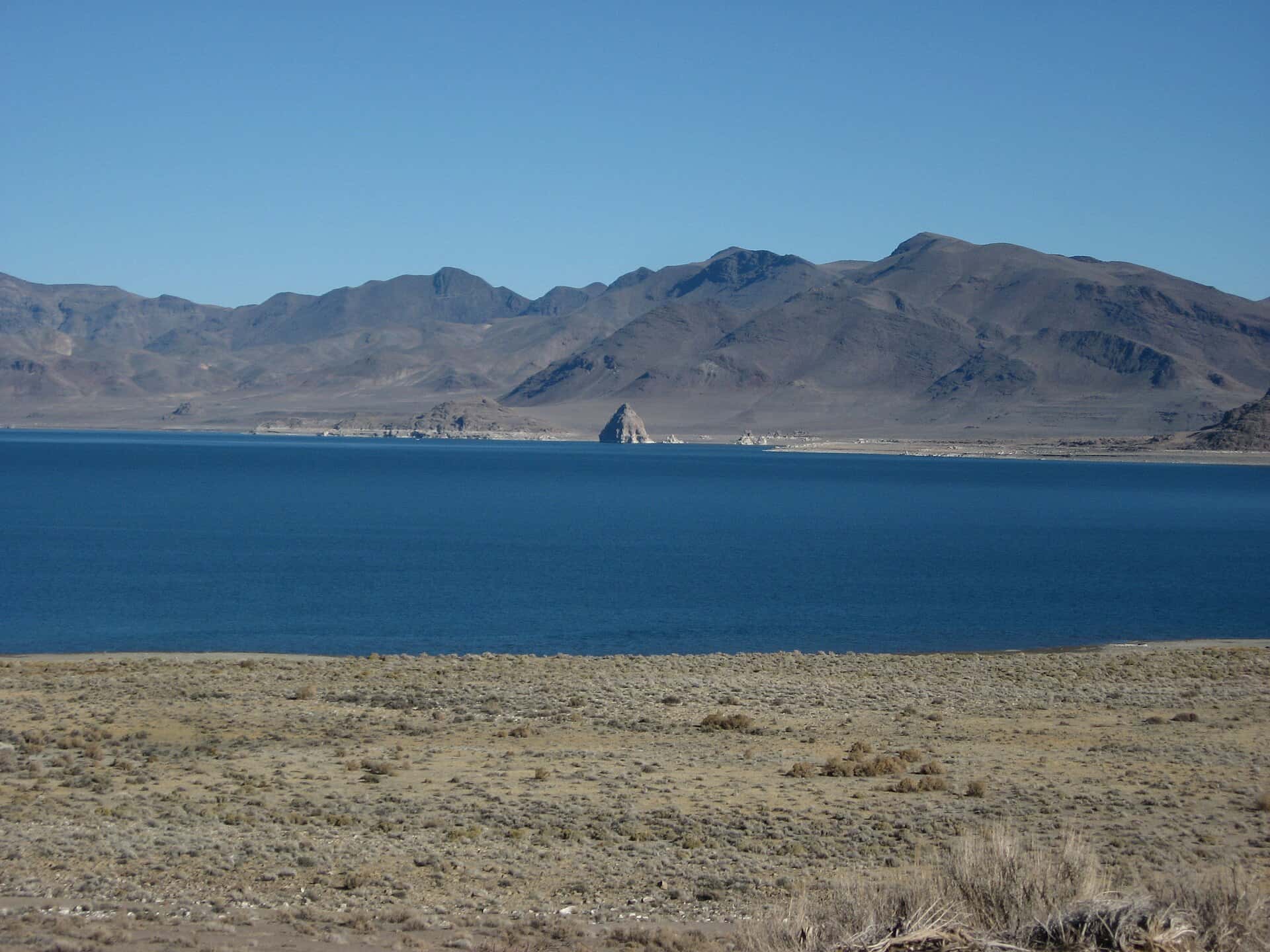
Pyramid Lake fishing: Rainbow Trout, Cutthroat Trout, Brook Trout
Target species: Rainbow Trout, Cutthroat Trout, Brook Trout, Channel Catfish, Brown Trout
The lake
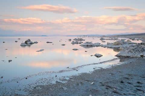
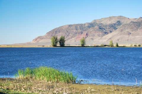
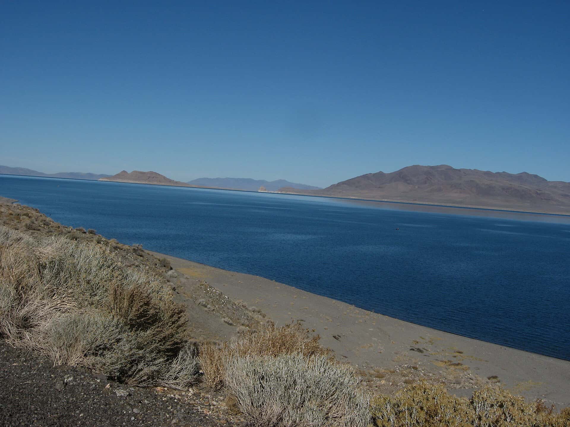
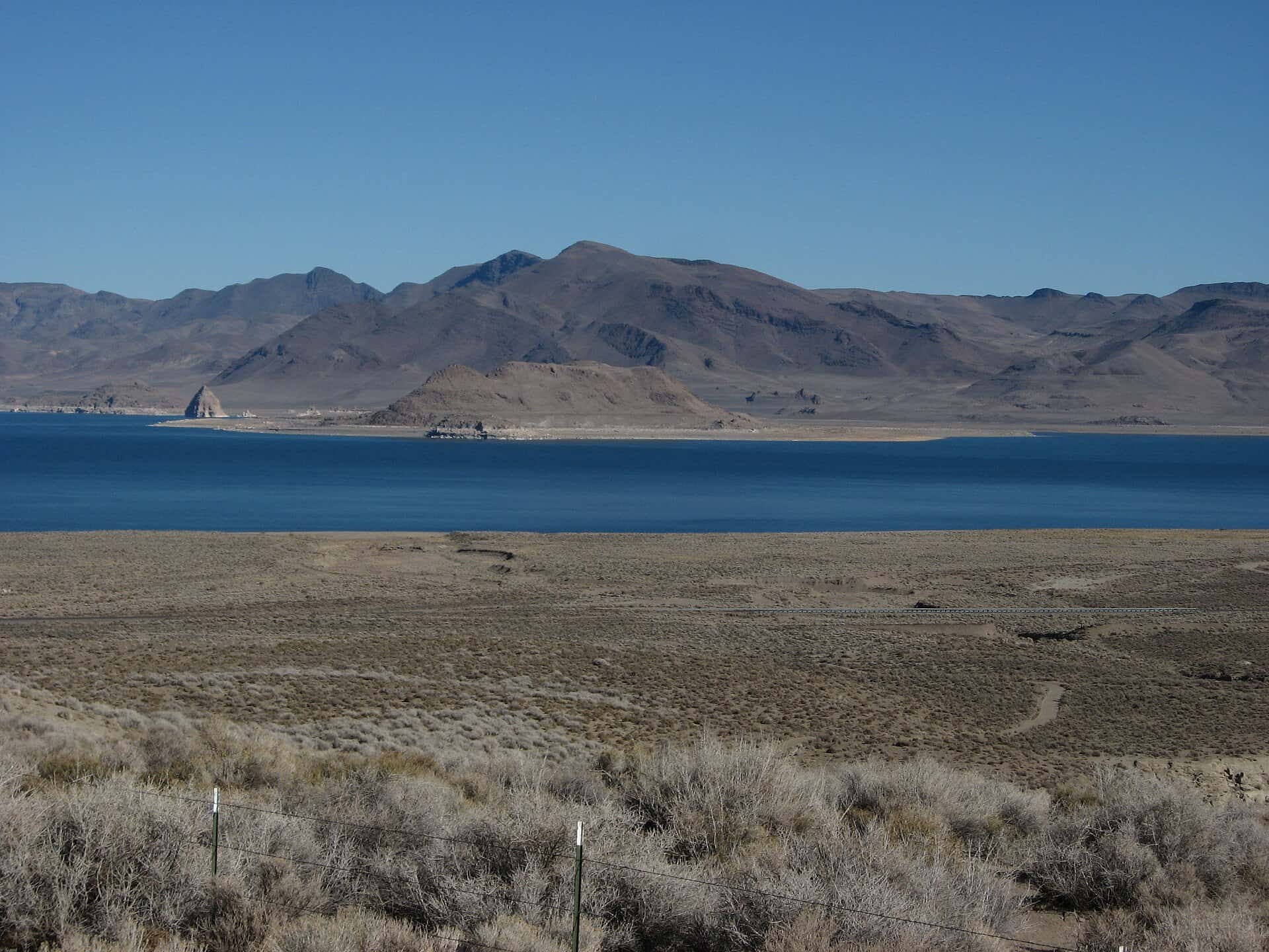
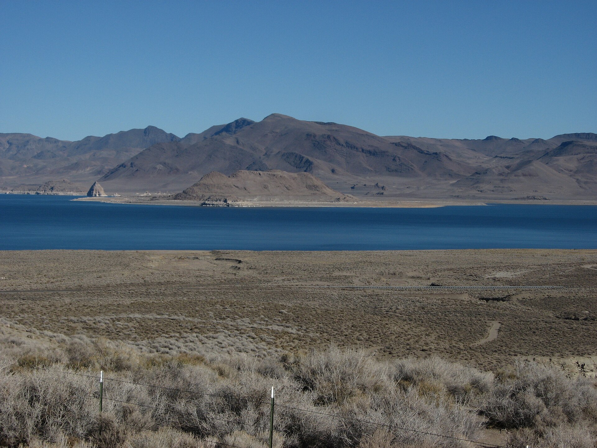
Pyramid Lake covers 117,569 acres in Nevada, across Washoe County. It is a lake: the deepest point measured is at least 318 feet (96.8 m). Our records hold 7 species for this water.
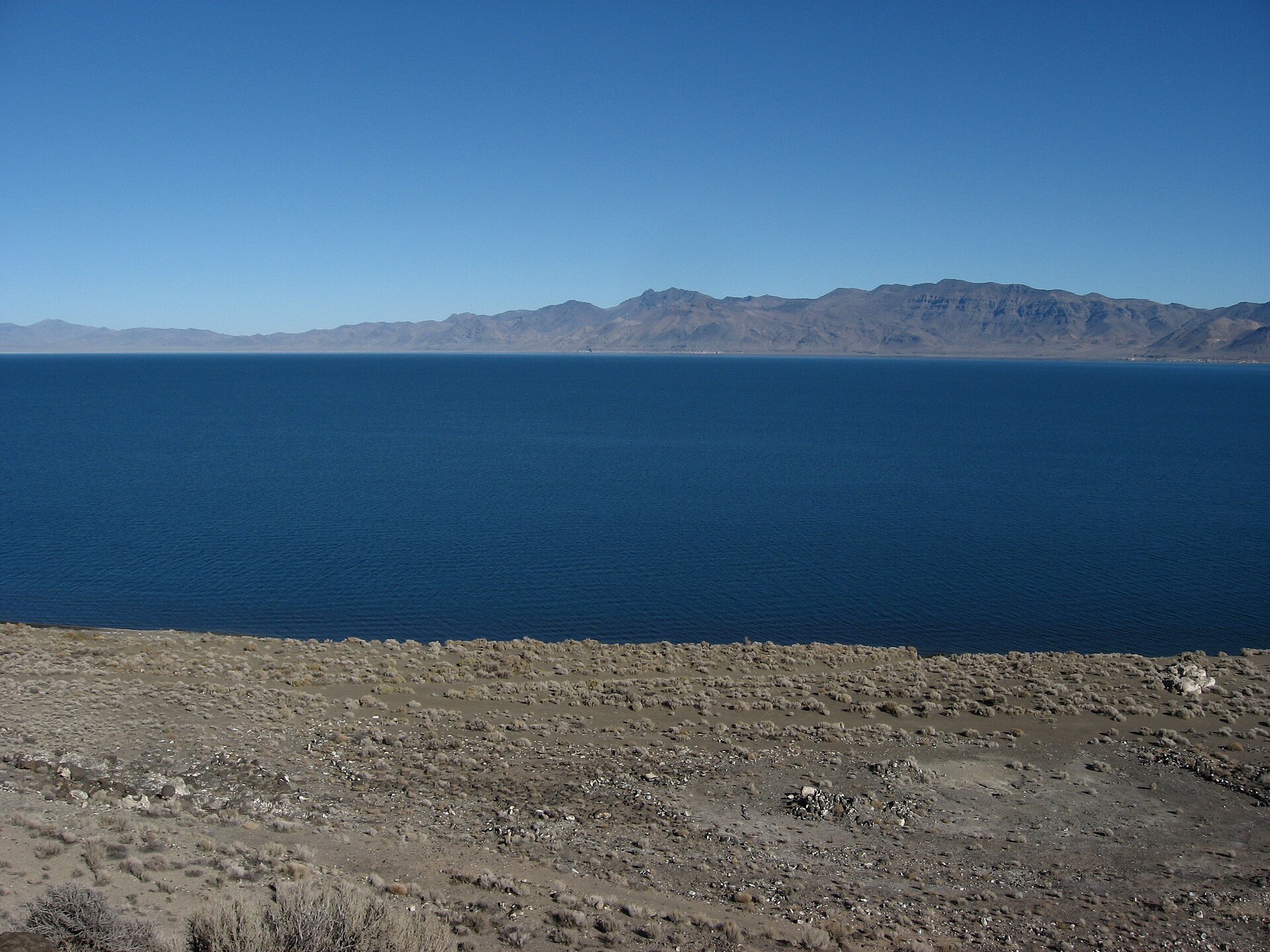
Depth and bottom
Deepest measured point: at least 318 ft (96.8 m). That is the deepest contour line: the bottom goes deeper. We hold 41 depth contour lines for this water.
- 0–20 ft: 12.5% of the water
- 20–40 ft: 3.3% of the water
- 40–60 ft: 3.7% of the water
- 60–80 ft: 4% of the water
- 80–100 ft: 4.3% of the water
- 100–120 ft: 4.6% of the water
- 120–140 ft: 5.9% of the water
- 140–160 ft: 6.2% of the water
- 160–180 ft: 6.9% of the water
- 180–200 ft: 4.3% of the water
- 200–220 ft: 4.9% of the water
- 220–240 ft: 4.7% of the water
- 240–260 ft: 6% of the water
- 260–280 ft: 5.8% of the water
- 280–300 ft: 12.3% of the water
- 300–318 ft: 10.6% of the water
5 target fish, led by Rainbow Trout
- Rainbow Trout — Feeding water: 50–65°F.
- Cutthroat Trout — Feeding water: 50–65°F.
- Brook Trout — Feeding water: 50–65°F.
- Channel Catfish — Feeding water: 70–85°F.
- Brown Trout — Feeding water: 50–65°F.
Also recorded here: Brown Bullhead, Common Carp.
Water and conditions
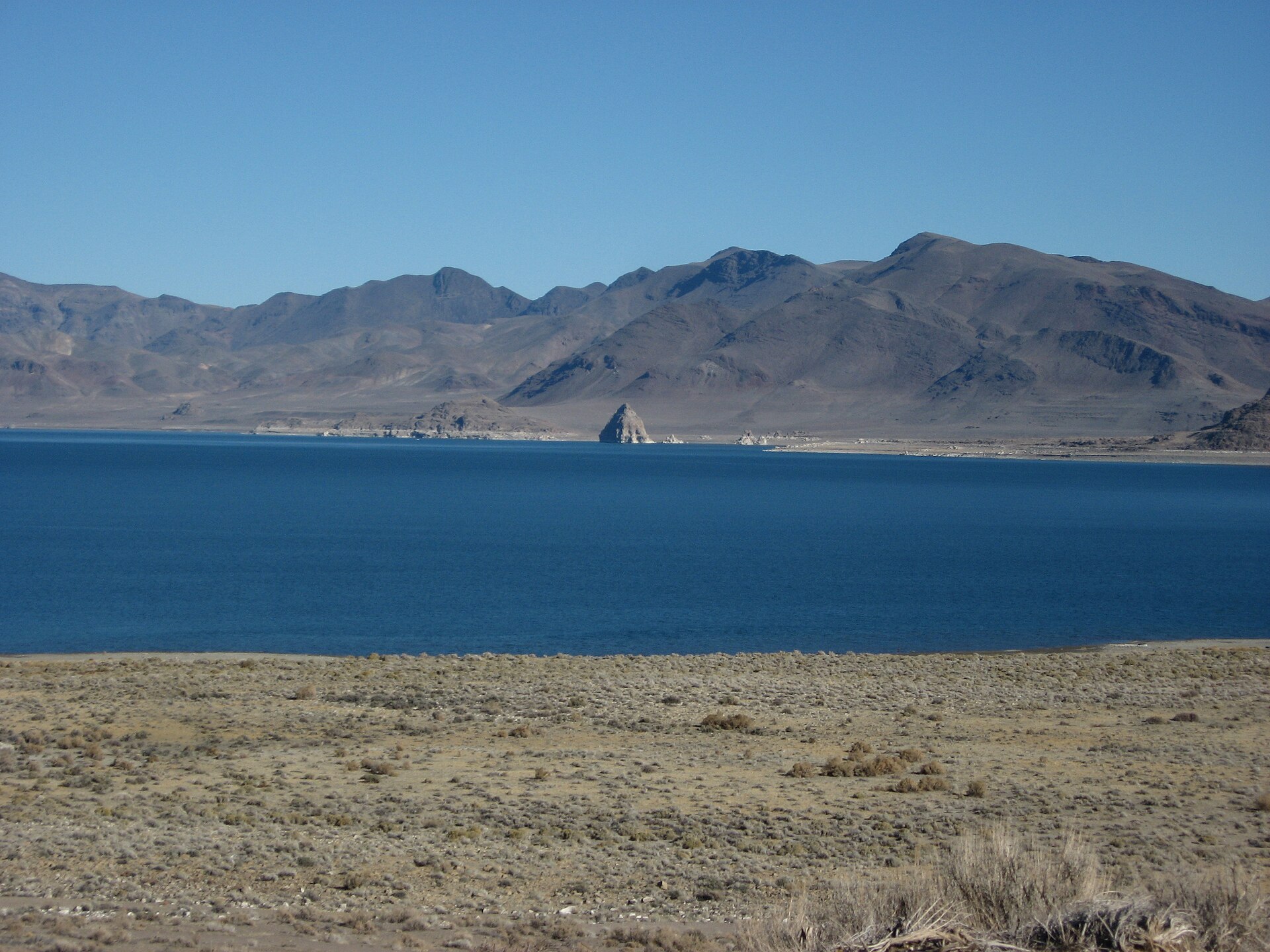
Our water temperature readings average 72°F; they do not cover the whole year, so this is not a yearly average. pH averages 9. These readings span 2017–2022. The latest reading is from 2022, more than three years ago: read these numbers as history, not as the water today.
What is hard here
Wind is the limit, not the fish: 117,569 acres of open water build a short steep chop, and there is no shelter in the middle.
Where this data comes from
- USGS (Root & Hynek, 2026, DOI 10.5066/P147WRTT) — Great Basin terminal lakes topobathymetry (USGS): class A, a survey of the bottom, 1968.
- U.S. Geological Survey (Raumann et al. 2002; Lopes & Smith 2007; Root & Hynek 2026) — Digital Bathymetric Model of Mono Lake (MF-2393); Bathymetry of Walker Lake (SIR 2007-5012): class A, a survey of the bottom, 1968.
- EPA NLA — EPA National Lakes Assessment: class B, a depth figure measured and published by an agency, without a bottom map.