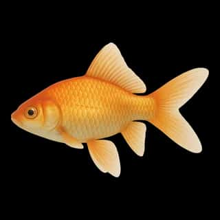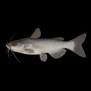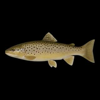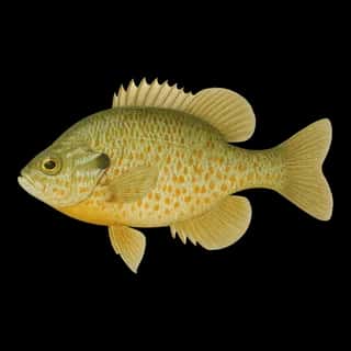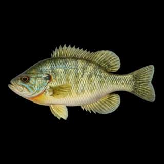
Clear Lake fishing: Largemouth Bass, Smallmouth Bass, White Catfish
Target species: Largemouth Bass, Smallmouth Bass, White Catfish, Black Crappie, Channel Catfish, Bluegill, Redear
Best months: Jun, Jul, Aug, Sep for Largemouth Bass
Second window: Apr, May, Sep, Oct for Smallmouth Bass
Boat: 1 ramp or launch on file for this water.
Start here: Launch at Beachcomber Resort, 2 lanes.
The lake
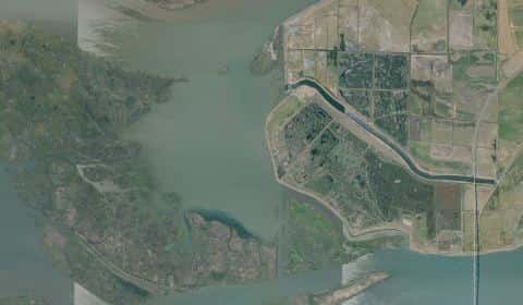
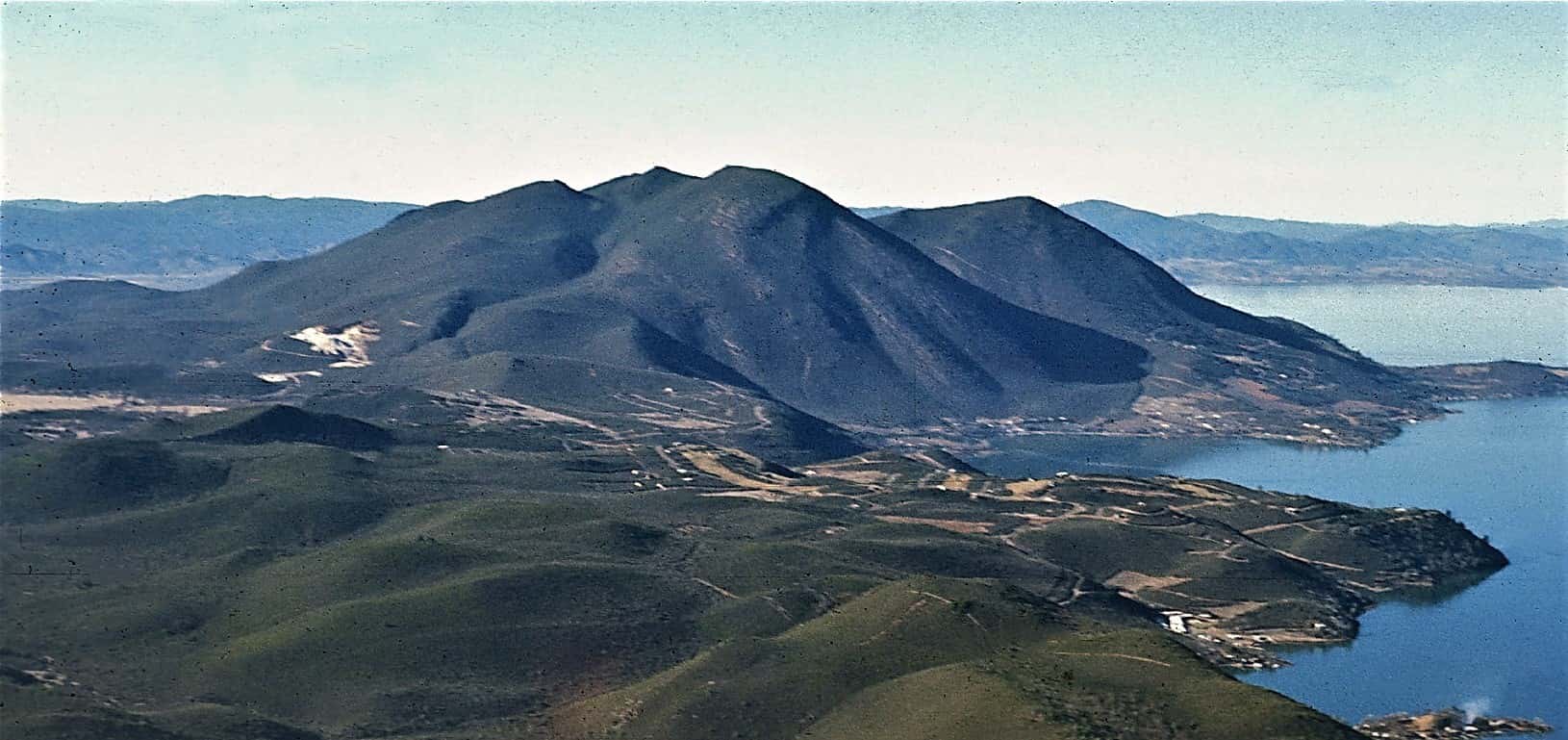
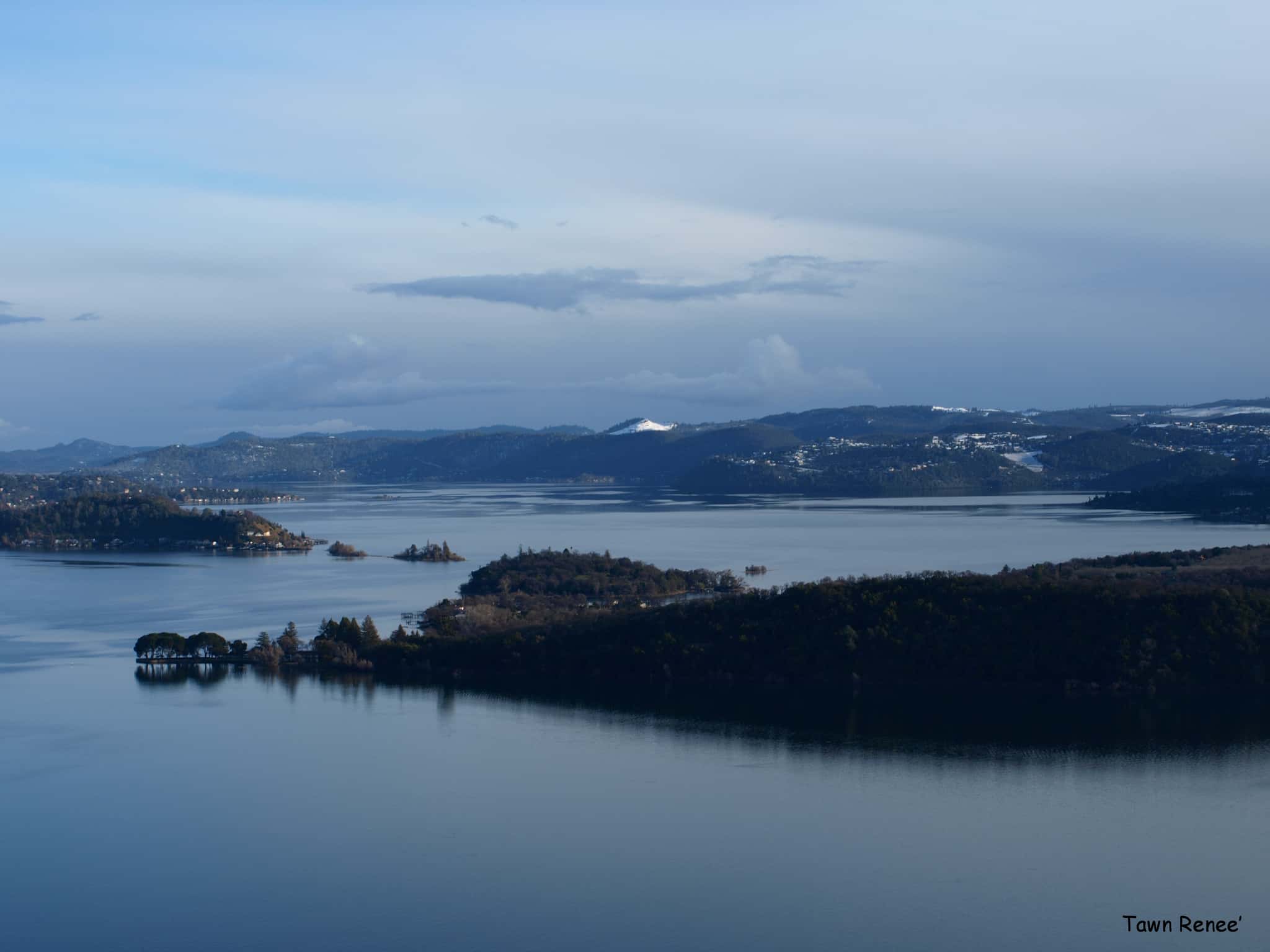
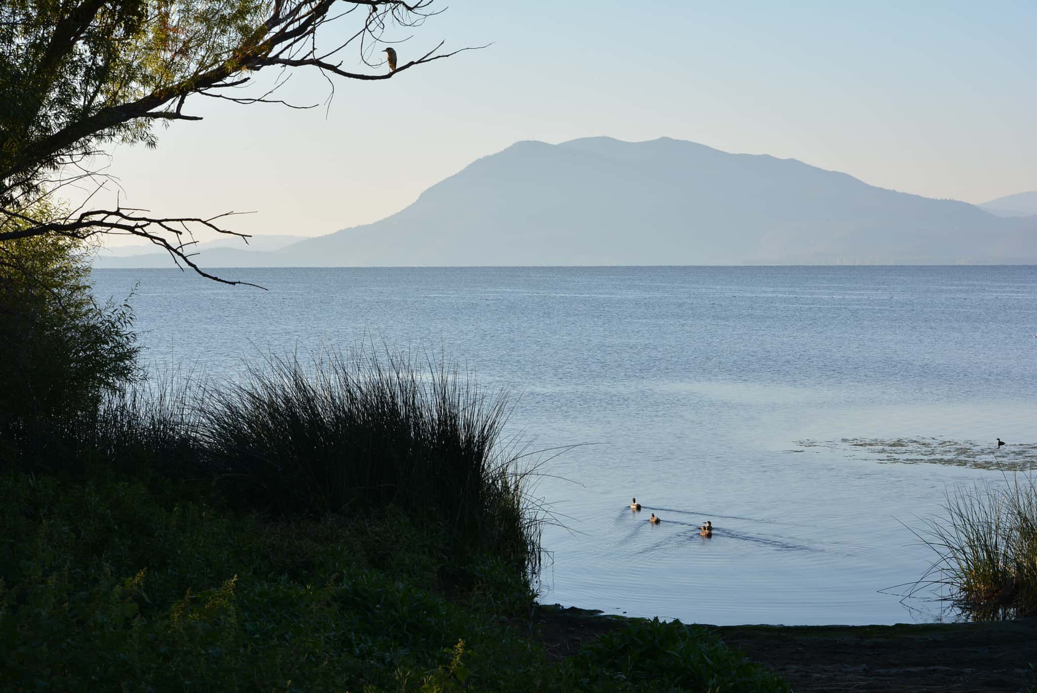
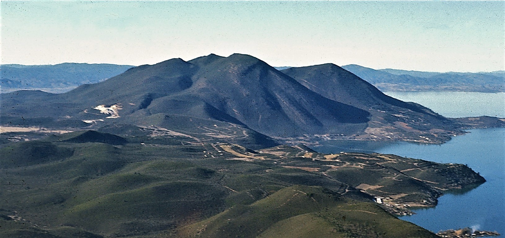
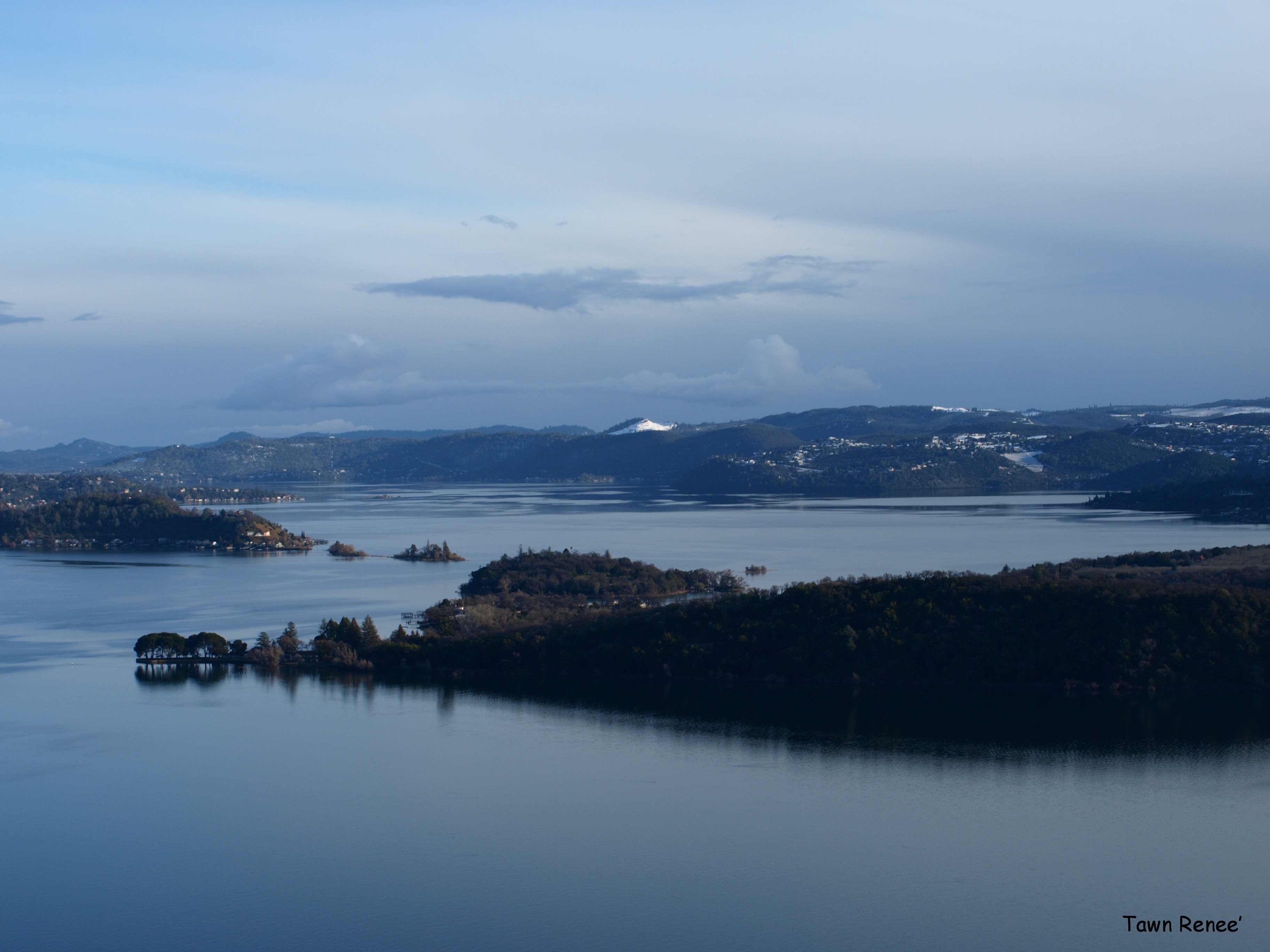
Clear Lake covers 39,692 acres in California, across Lake County. It is a lake: 90.5% of it is 39 feet deep or less; the deepest point measured is 68.7 feet (20.9 m). Our records hold 20 species for this water.
Depth: down to 68.7 ft at the deepest measured point
Deepest measured point: 68.7 ft (20.9 m). 90.5% of the water is 39 feet or shallower. We hold 392 depth contours for this water, drawn from 1,592,733 soundings.
- 0–3 ft: 1.5% of the water
- 3–6 ft: 1.3% of the water
- 6–9 ft: 1.6% of the water
- 9–12 ft: 2.1% of the water
- 12–15 ft: 3.6% of the water
- 15–18 ft: 6.6% of the water
- 18–21 ft: 9.8% of the water
- 21–24 ft: 9.8% of the water
- 24–27 ft: 9.7% of the water
- 27–30 ft: 10.8% of the water
- 30–33 ft: 16.1% of the water
- 33–36 ft: 13.3% of the water
- 36–39 ft: 4.3% of the water
- 39–42 ft: 2.2% of the water
- 42–45 ft: 2.3% of the water
- 45–48 ft: 2.5% of the water
- 48–51 ft: 1.7% of the water
- 51–54 ft: 0.6% of the water
- 54–56 ft: 0.2% of the water
7 target fish, led by Largemouth Bass
- Largemouth Bass — Best months: Jun, Jul, Aug, Sep.
- Smallmouth Bass — Best months: Apr, May, Sep, Oct.
- White Catfish — Best months: Jun, Jul, Aug, Sep.
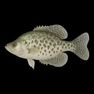
- Black Crappie — Best months: May, Sep, Oct.
- Channel Catfish — Best months: Jun, Jul, Aug, Sep.
- Bluegill — Best months: Jun, Jul, Aug, Sep.
- Redear — Best months: Jun, Jul, Aug, Sep.
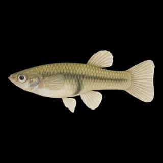
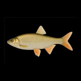
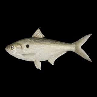
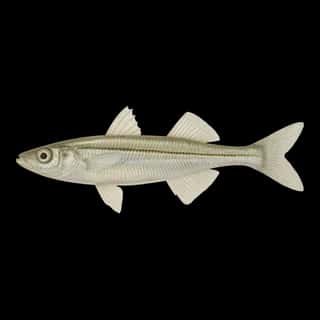
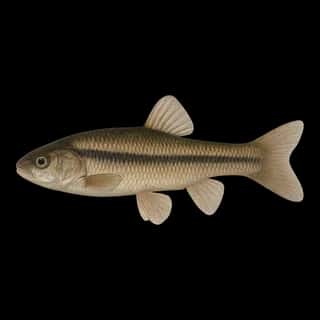
Also recorded here: Striped Bass, White Crappie, Green Sunfish, Brown Trout, Pumpkinseed, Brown Bullhead, Common Carp, Golden Shiner, Goldfish, Fathead Minnow, Western Mosquitofish, Threadfin Shad, Inland Silverside.
Water and conditions
Water clarity runs 1.5–5.5 feet on our readings, averaging 3.2 feet, from 800 readings. Water temperature averages 67°F across the year. The coldest single reading we hold is 41°F and the warmest is 96°F; the warmest monthly average is 80°F. pH averages 8.2. These readings span 2016–2026.
Monthly average water temperature: Jan 48°F · Feb 50°F · Mar 55°F · Apr 63°F · May 69°F · Jun 76°F · Jul 80°F · Aug 79°F · Sep 74°F · Oct 66°F · Nov 55°F · Dec 50°F
1 ramp or launch on this water
On this water we hold 1 trailer ramp.
- Beachcomber Resort — 2 lanes.
The place listed has no fee or opening hours on file: a blank means we hold no such field, not that it is free or always open, and this list may not be complete.
Season by season
- Winter (Dec, Jan, Feb, 48–50°F) — Steady but no peak: Largemouth Bass, Smallmouth Bass, White Catfish, Black Crappie, Channel Catfish, Bluegill.
- Spring (Mar, Apr, May, 55–69°F) — Biting: Smallmouth Bass, Black Crappie.
- Summer (Jun, Jul, Aug, Sep, 74–80°F) — Biting: Largemouth Bass, Smallmouth Bass, White Catfish, Black Crappie, Channel Catfish, Bluegill.
- Fall (Oct, Nov, 55–66°F) — Biting: Smallmouth Bass, Black Crappie.
What is hard here
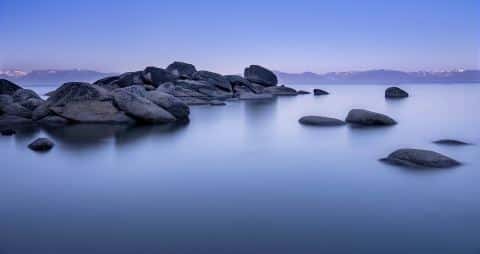
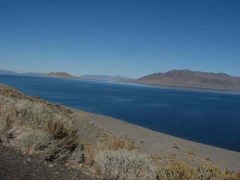
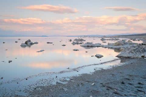
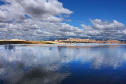
Wind is the limit, not the fish: 39,692 acres of open water build a short steep chop, and there is no shelter in the middle. Clarity swings from 1.5 to 5.5 feet between our readings — the water you meet is not the water someone photographed. Only 1 public ramp is on file, so the launch decides where you fish. Winter water drops to 48°F, and the warm-water species stop feeding well before you do.
Where this data comes from
- Valbuena, S.A., UC Davis Tahoe Environmental Research Center, Clear Lake Bathymetry (Zenodo 10.5281/zenodo.19741351) — Clear Lake Bathymetry (1 m, 2023-2024): class A, a survey of the bottom.
- Webster, K.E., McCullough, I.M., Soranno, P.A. LAGOS-US DEPTH v1.0, EDI, doi:10.6073/pasta/64ddc4d04661d9aef4bd702dc5d8984f (CC BY 4.0); Cheruvelil et al. LAGOS-US LOCUS v1.0 (EDI) — LAGOS-US DEPTH v1.0: Lake depth for 17,675 lakes in the conterminous U.S.: class B, a depth figure measured and published by an agency, without a bottom map.