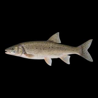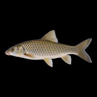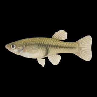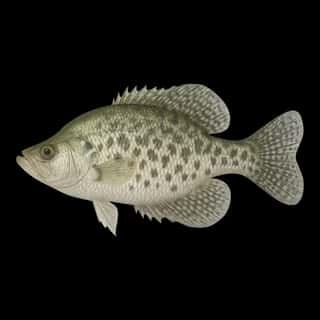
Lake Washington fishing: Cutthroat Trout, Largemouth Bass, Smallmouth Bass
Target species: Cutthroat Trout, Largemouth Bass, Smallmouth Bass, Rainbow Trout, Black Crappie, Peamouth, Northern Pikeminnow
Boat: 8 ramps and launches on file for this water.
Start here: Launch at Adams Street Boat Ramp.
The lake
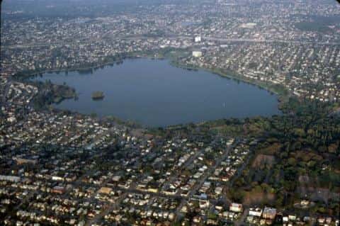
Lake Washington covers 21,988 acres in Washington, across King County. It is a lake: 92.6% of it is 180 feet deep or less; the deepest point measured is at least 220 feet (67.1 m). Our records hold 22 species for this water.
Depth and bottom
Deepest measured point: at least 220 ft (67.1 m). That is the deepest contour line: the bottom goes deeper. 92.6% of the water is 180 feet or shallower. We hold 271 depth contours for this water, drawn from 34,895 soundings.
- 0–20 ft: 20.3% of the water
- 20–40 ft: 10% of the water
- 40–60 ft: 10.5% of the water
- 60–80 ft: 9% of the water
- 80–100 ft: 10.1% of the water
- 100–120 ft: 10.3% of the water
- 120–140 ft: 5.8% of the water
- 140–160 ft: 8.6% of the water
- 160–180 ft: 8% of the water
- 180–200 ft: 7.4% of the water
- 200–207 ft: 0.1% of the water
7 target fish, led by Cutthroat Trout
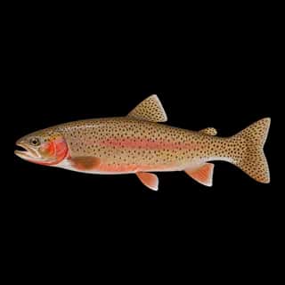
- Cutthroat Trout — Feeding water: 50–65°F.
- Largemouth Bass — Feeding water: 65–85°F.
- Smallmouth Bass — Feeding water: 60–75°F.
- Rainbow Trout — Feeding water: 50–65°F.
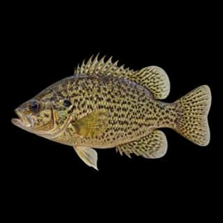
- Black Crappie — Feeding water: 65–75°F.
- Peamouth — Feeding water: 60–70°F.
- Northern Pikeminnow — Feeding water: 50–70°F.
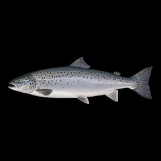
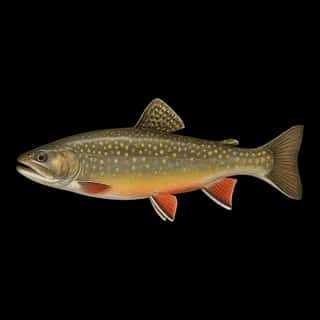
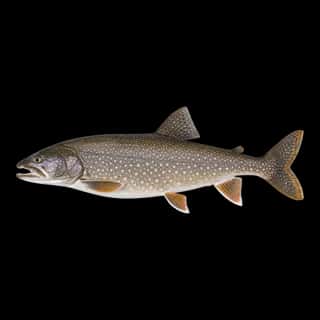
Also recorded here: Atlantic Salmon, Northern Pike, Walleye, Brook Trout, White Crappie, Channel Catfish, Bluegill, Rock Bass, Yellow Perch, Pumpkinseed, Lake Trout, Brown Bullhead, Common Carp, Goldfish, Western Mosquitofish.
Stocking: 2,386,982 fish, 1997–2026
Washington Department of Fish and Wildlife records list 2,386,982 fish released into this water from 1997 to 2026.
- Lake Trout: 365 in 1999
3 more species on the stocking list.
8 ramps and launches on this water
On this water we hold 8 boat ramps.
- Waterfront Activities Center — Seattle, University of Washington. 3710 Montlake Boulevard Northeast, Seattle 98195 · phone +1-206-543-9433 · website washington.edu/ima/waterfront
- Ohler's Island — Seattle. 4500 Lake Washington Boulevard South, Seattle 98118 · website leschiandlakewood.com
- Spinnaker Bay Marina — Seattle. 9500 Rainier Avenue South, Seattle 98118
- Adams Street Boat Ramp website seattle.gov/parks/allparks/adams-street-boat-ramp
- Carillon Point website carillon-point.com/marina
- Mercer Island website mercerisland.gov/parksrec/page/mercer-island-boat-launch
- SE 40th Street website newportyachtbasin.com
- Yarrow Bay Marina website yarrowbaymarina.com
Fee and opening hours are blank for all 8 places in this list: a blank means we hold no such field, not that it is free or always open, and this list may not be complete.
What is hard here
Wind is the limit, not the fish: 21,988 acres of open water build a short steep chop, and there is no shelter in the middle.
Where this data comes from
- NOAA NOS Hydro — NOAA NOS hydrographic survey archive: class A, a survey of the bottom.
- USACE eHydro — USACE eHydro channel surveys: class A, a survey of the bottom.
- NOAA ENC — NOAA Electronic Navigational Charts: soundings: class A, a survey of the bottom.
- NOAA National Bathymetric Source (S-102 ed3.0.0) — NOAA S-102 bathymetric surfaces: contours: class A, a survey of the bottom.
- NOAA ENC — NOAA Electronic Navigational Charts: depth contours: class A, a survey of the bottom.