Puget Sound fishing: Sand Sole, Shiner Perch
Target species: Sand Sole, Shiner Perch
Best months: May, Jun, Aug, Sep for Sand Sole
Second window: Jun, Jul, Aug, Sep for Shiner Perch
Boat: 18 ramps and launches on file for this water.
Start here: Launch at Evergreen Park - Bremerton, 2 lanes.
The estuary
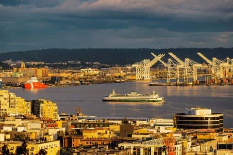
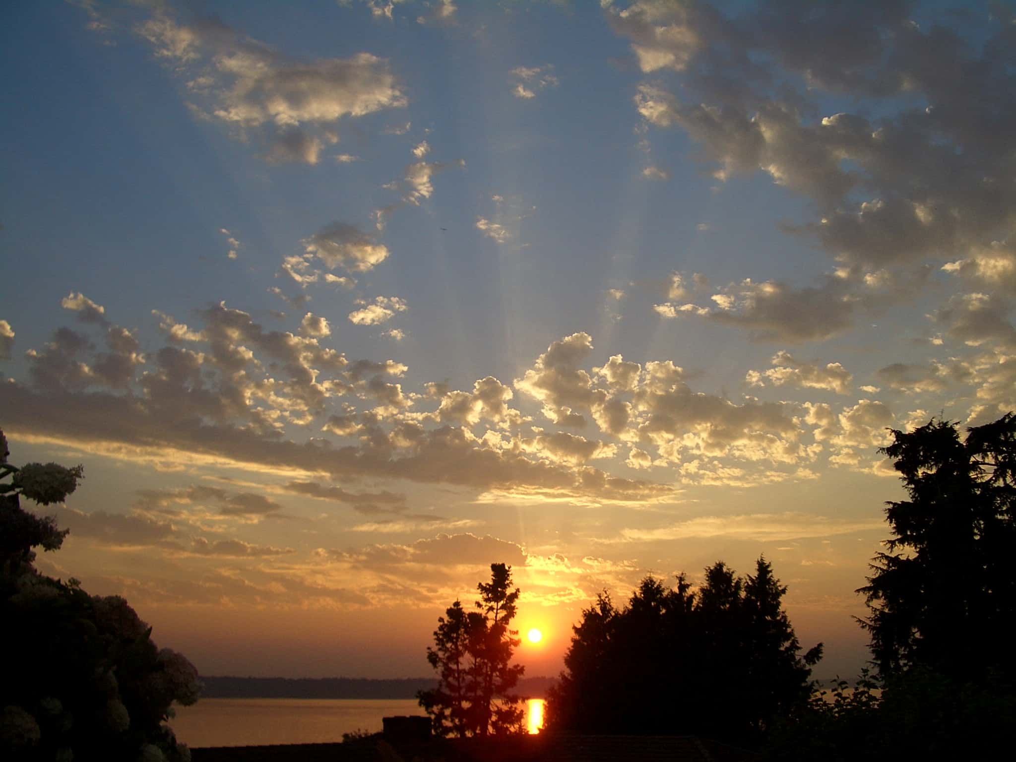
Puget Sound covers 22,596 acres in Washington, across Kitsap County. It is an estuary: the deepest point measured is 244 feet (74.4 m). Our records hold 3 species for this water.
Depth: down to 244 ft at the deepest measured point
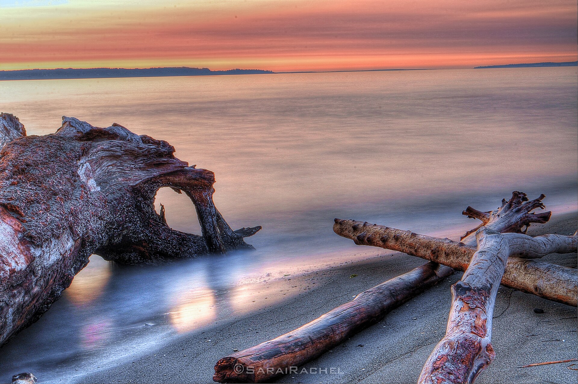
Deepest measured point: 244 ft (74.4 m). We hold 7 depth contours for this water, drawn from 60,247 soundings.
2 target fish, led by Sand Sole
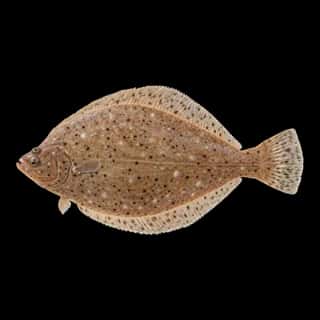
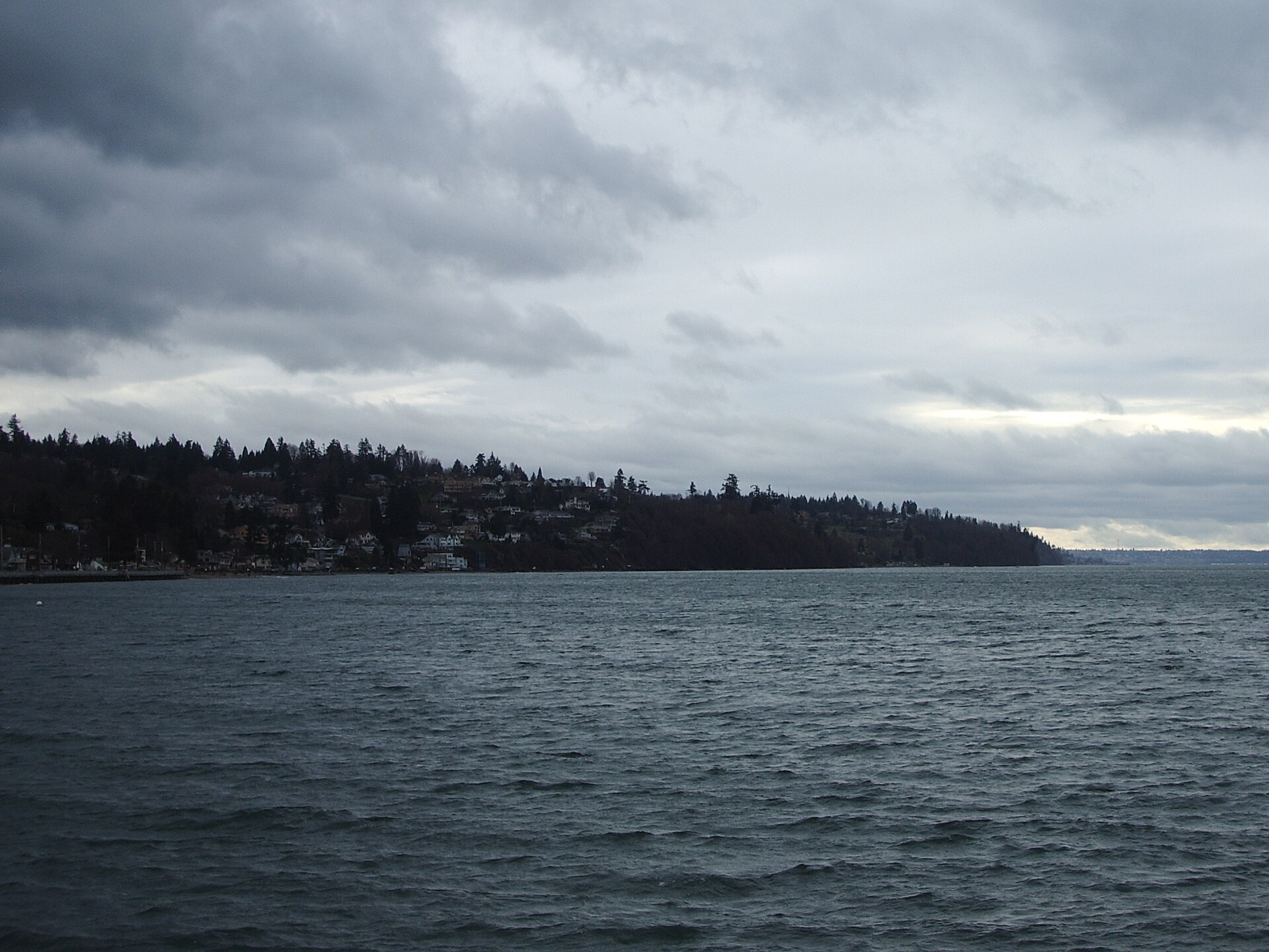
- Sand Sole — Best months: May, Jun, Aug, Sep.
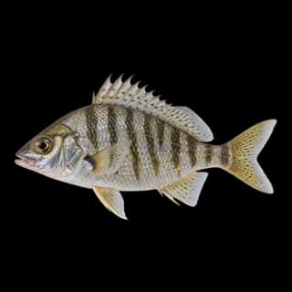
- Shiner Perch — Best months: Jun, Jul, Aug, Sep.
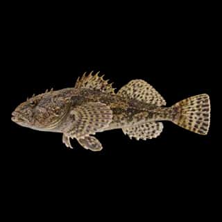
Also recorded here: Prickly Sculpin.
18 ramps and launches on this water
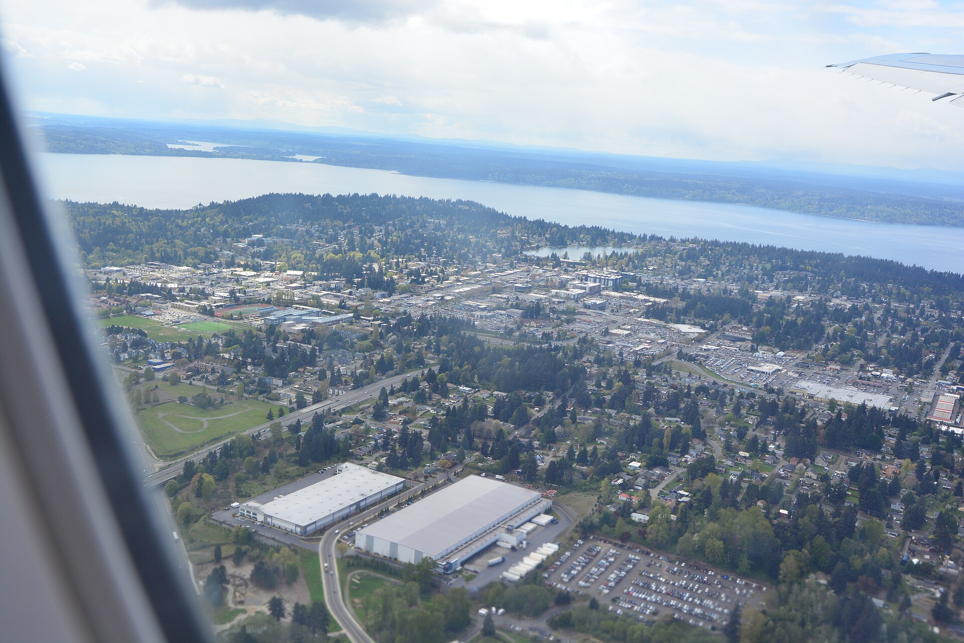
On this water we hold 2 trailer ramps, 16 boat ramps and 1 shore access point.
- Liberty Bay Marina — Poulsbo, Liberty Bay Marina. 17791 Fjord Dr NE, Poulsbo 98370
- Poulsbo Yacht Club — Poulsbo, Poulsbo Yacht Club. 18219 Fjord Dr NE, Poulsbo 98370
- Evergreen Park - Bremerton — 2 lanes. Washington Department of Fish and Wildlife.
- Keyport — 1 lane. Port of Keyport. website portofkeyport.com
- Bremerton Marina — Port of Bremerton. website portofbremerton.org/bremerton-marina
- Kitsap Marina — Port Orchard. 1595 Southwest Bay Street, Port Orchard 98366 · phone +1-360-895-2193 · website kitsapmarina.com
- Port Orchard — on Sinclair Inlet, Madrona. website madronamarinas.com/our-marinas
- Port of Brownsville Marina — Port of Brownsville. website portofbrownsville.org
- Port of Poulsbo Marina — Poulsbo. 18809 Front Street Northeast, Poulsbo 98370 · phone +1-360-779-3505 · website portofpoulsbo.com · email [email protected] · hours: Mo-Fr 08:00-16:30; Sa-Su off; Jan 01 off; Nov Th[4] off; Dec 25-26 off
- Port of Silverdale — Port of Silverdale. website portofsilverdale.com/boatramp
Shore access for bank fishing
- Ross Point — WDFW.
Fee and opening hours are blank for all 11 places in this list: a blank means we hold no such field, not that it is free or always open, and this list may not be complete.
Water and conditions
Water temperature averages 62°F across the year. The coldest single reading we hold is 32°F and the warmest is 87°F; the warmest monthly average is 72°F. pH averages 7.4. These readings span 2016–2025.
What is hard here
Wind is the limit, not the fish: 22,596 acres of open water build a short steep chop, and there is no shelter in the middle. Winter water drops to 39°F, and the warm-water species stop feeding well before you do.
Where this data comes from
- NOAA NOS Hydro — NOAA NOS hydrographic survey archive: class A, a survey of the bottom.
- NOAA ENC — NOAA Electronic Navigational Charts: soundings: class A, a survey of the bottom.
- NOAA ENC — NOAA Electronic Navigational Charts: depth contours: class A, a survey of the bottom.
- NOAA National Bathymetric Source (S-102 ed3.0.0) — NOAA S-102 bathymetric surfaces: contours: class A, a survey of the bottom.