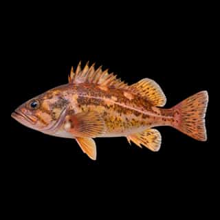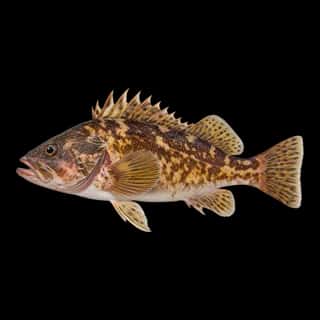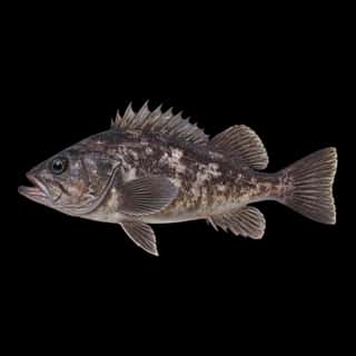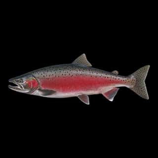
Hood Canal fishing: Copper Rockfish, Brown Rockfish, Coho Salmon
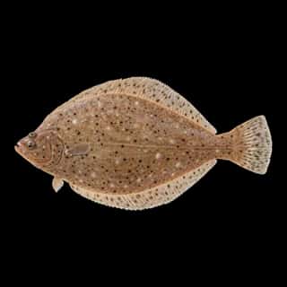
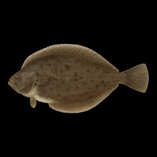
Target species: Copper Rockfish, Brown Rockfish, Coho Salmon, Pacific Dover Sole, Black Rockfish, Sand Sole
Best months: Oct for Copper Rockfish
Second window: Apr, Jun, Sep for Brown Rockfish
Boat: 7 ramps and launches on file for this water.
Start here: Launch at Salsbury Point Park, 3 lanes.
The estuary
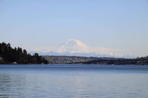
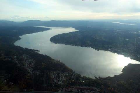
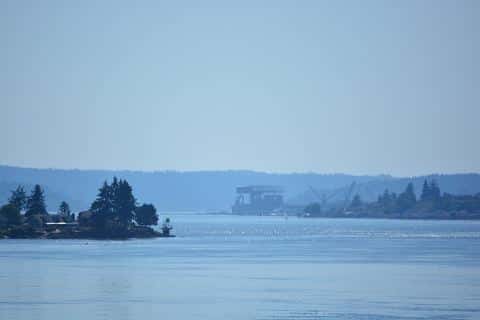
Hood Canal covers 95,912 acres in Washington, across 3 counties: Mason, Jefferson and Kitsap. It is an estuary: the deepest point measured is 612 feet (186.5 m). Our records hold 6 species for this water.
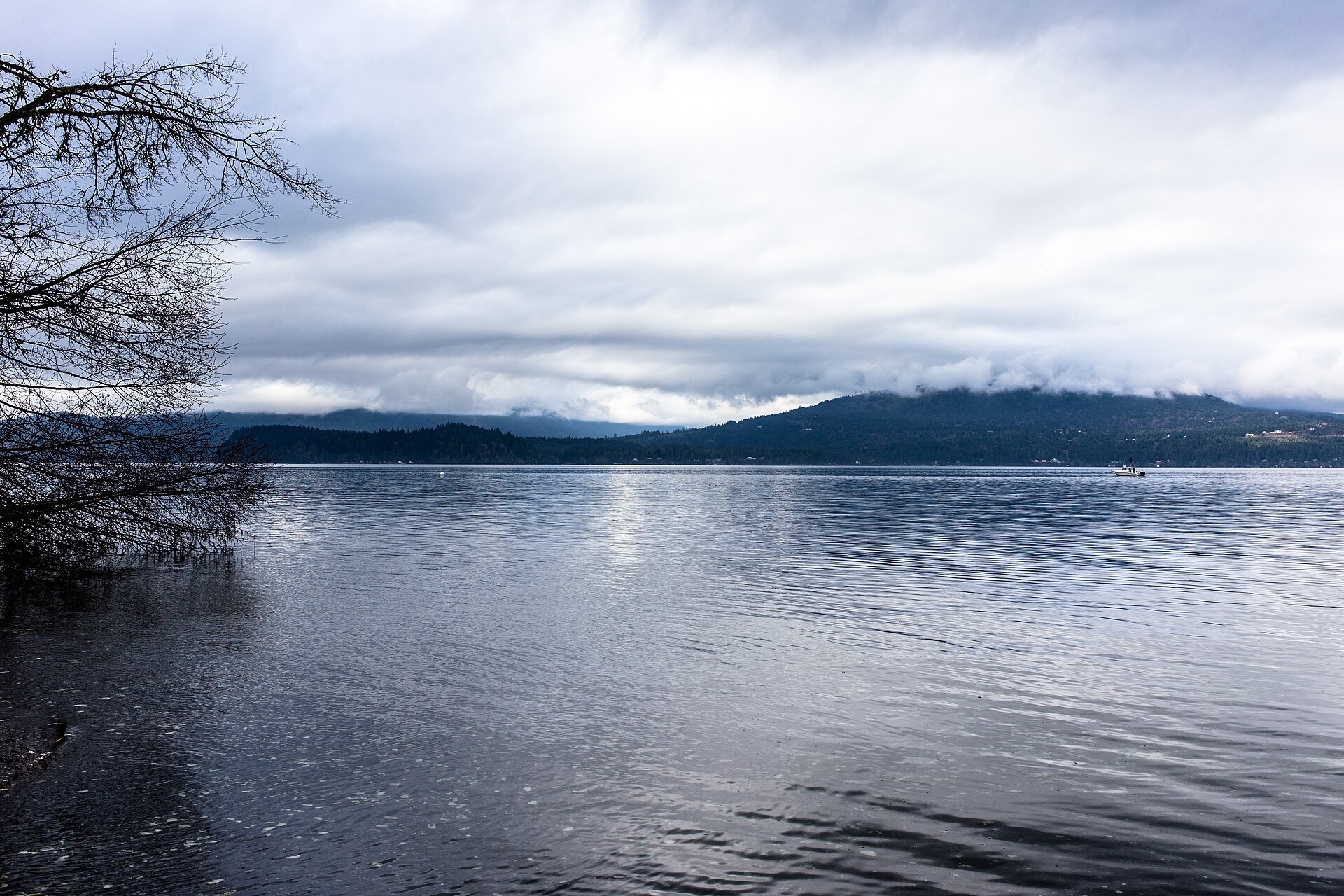
Depth: down to 612 ft at the deepest measured point
Deepest measured point: 612 ft (186.5 m). We hold 1,505 depth contours for this water, drawn from 29,857 soundings.
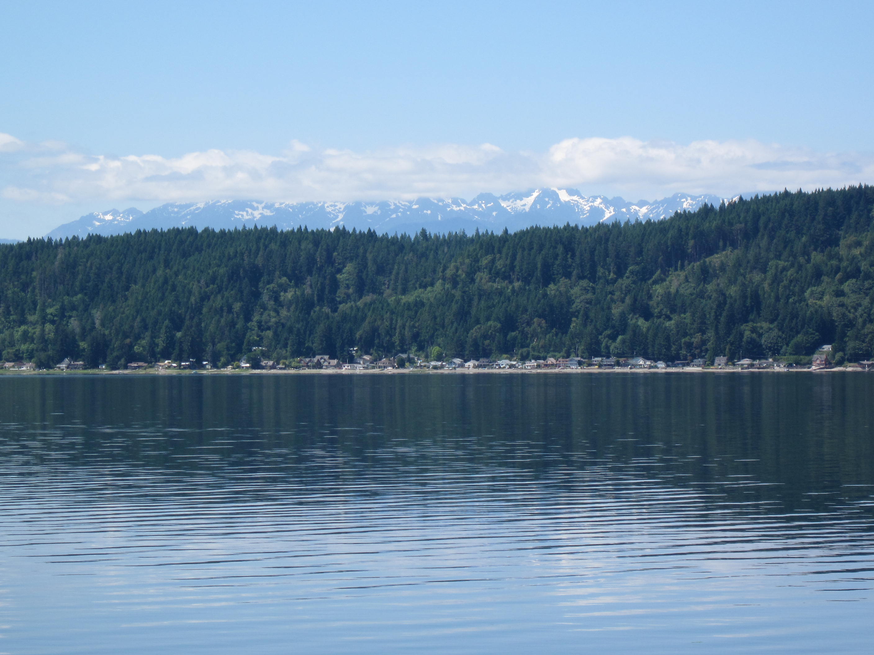
6 target fish, led by Copper Rockfish
- Copper Rockfish — Best months: Oct.
- Brown Rockfish — Best months: Apr, Jun, Sep.
- Coho Salmon — Best months: Oct.
- Pacific Dover Sole — Best months: Oct.
- Black Rockfish — Best months: Oct.
- Sand Sole — Best months: May, Jun, Aug, Sep.
Water and conditions
Water temperature averages 66°F across the year. The coldest single reading we hold is 32°F and the warmest is 99°F; the warmest monthly average is 71°F. pH averages 6.9. These readings span 2017–2025.
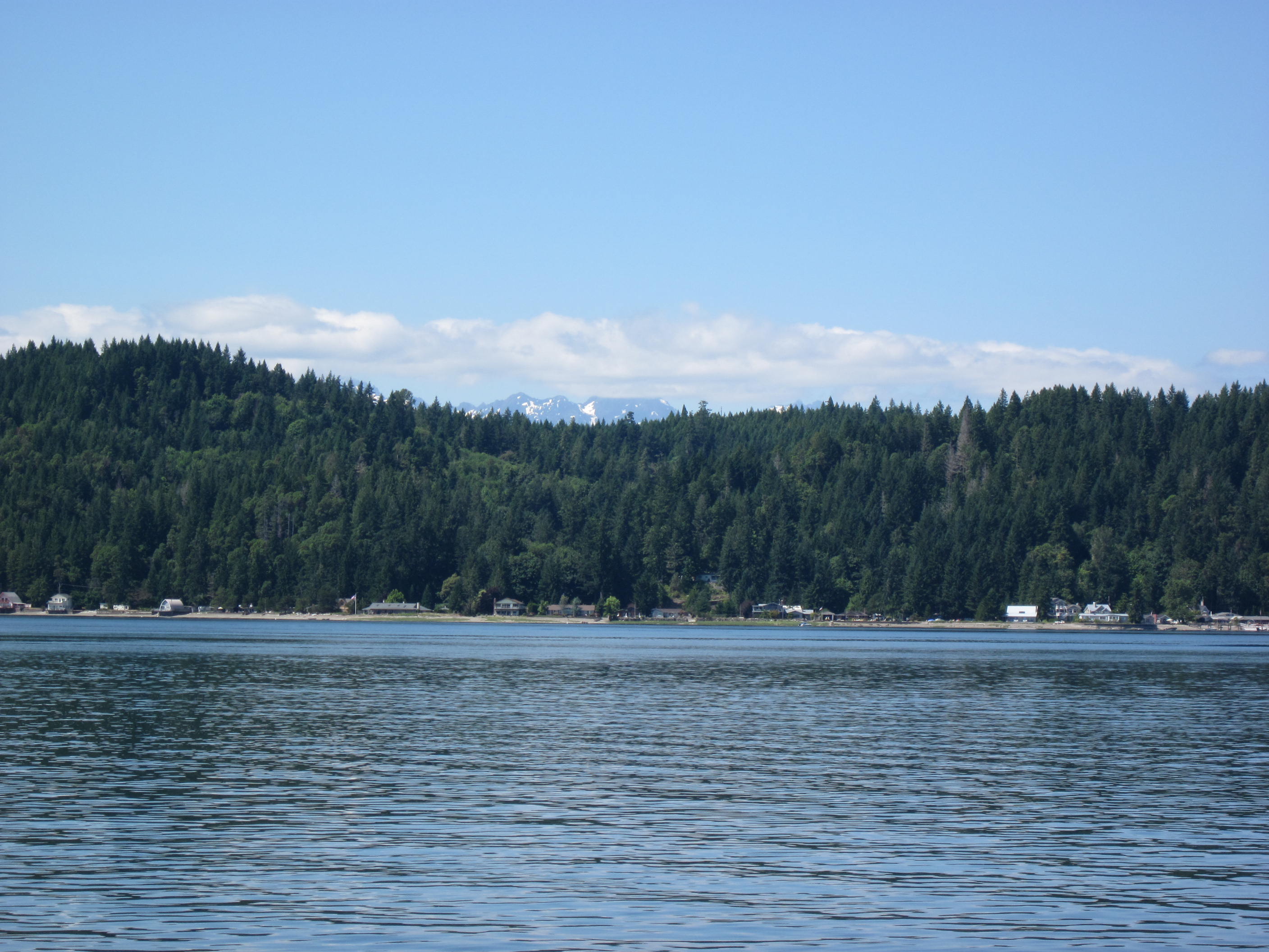
Monthly average water temperature: Jan 44°F · Feb 43°F · Mar 46°F · Apr 62°F · May 67°F · Jun 65°F · Jul 71°F · Aug 67°F · Sep 64°F · Oct 50°F · Nov 46°F · Dec 45°F
7 ramps and launches on this water
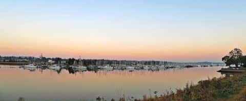
On this water we hold 4 trailer ramps, 3 boat ramps and 3 shore access points.
- Quilcene Marina — on Quilcene Bay, Quilcene, Port of Port Townsend. 1731 Linger Longer Road, Quilcene 98376 · website portofpt.com/quilcene
- Misery Point — 1 lane, restrooms. WDFW.
- Pleasant Harbor — 1 lane, restrooms. WDFW.
- Point Whitney — 1 lane, restrooms. WDFW.
- Olympic View Marina — Seabeck. 15376 Seabeck Highway Northwest 98380 · website olympicviewmarina.com
- Salsbury Point Park — 3 lanes.
- Pleasant Harbor Marina website pleasantharbormarina.com/marina
Shore access for bank fishing
- Indian George Creek — restrooms. WDFW.
- Triton Cove — WDFW.
- Union River — WDFW.
Fee and opening hours are blank for all 10 places in this list: a blank means we hold no such field, not that it is free or always open, and this list may not be complete.
Season by season
- Winter (Nov, Dec, Jan, Feb, Mar, 43–46°F) — Steady but no peak: Copper Rockfish, Coho Salmon, Pacific Dover Sole, Black Rockfish.
- Spring (Apr, 62–62°F) — Biting: Brown Rockfish. Steady but no peak: Copper Rockfish, Coho Salmon, Pacific Dover Sole, Black Rockfish, Sand Sole.
- Summer (May, Jul, Aug, 67–71°F) — Biting: Sand Sole. Steady but no peak: Copper Rockfish, Brown Rockfish, Coho Salmon, Pacific Dover Sole, Black Rockfish.
- Fall (Jun, Sep, Oct, 50–65°F) — Biting: Copper Rockfish, Brown Rockfish, Coho Salmon, Pacific Dover Sole, Black Rockfish, Sand Sole.
What is hard here
Wind is the limit, not the fish: 95,912 acres of open water build a short steep chop, and there is no shelter in the middle. Winter water drops to 43°F, and the warm-water species stop feeding well before you do.
Where this data comes from
- NOAA NOS Hydro — NOAA NOS hydrographic survey archive: class A, a survey of the bottom.
- NOAA ENC — NOAA Electronic Navigational Charts: soundings: class A, a survey of the bottom.
- NOAA ENC — NOAA Electronic Navigational Charts: depth contours: class A, a survey of the bottom.
- NOAA National Bathymetric Source (S-102 ed3.0.0) — NOAA S-102 bathymetric surfaces: contours: class A, a survey of the bottom.