Elliott Bay fishing: Brown Rockfish, Shiner Perch, Pacific Dover Sole
Target species: Brown Rockfish, Shiner Perch, Pacific Dover Sole, Copper Rockfish, Chinook Salmon, Coho Salmon
Boat: 2 ramps and launches on file for this water.
Start here: Launch at Don Armeni.
The bay
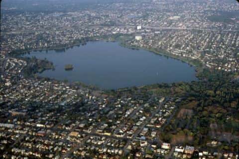
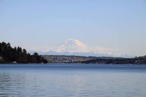
Elliott Bay covers 3,796 acres in Washington, across King County. It is a bay: the deepest point measured is 610 feet (185.9 m). Our records hold 6 species for this water.
Depth: down to 610 ft at the deepest measured point
Deepest measured point: 610 ft (185.9 m). We hold 16,847 depth contours for this water, drawn from 36,821 soundings.
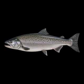
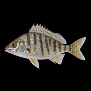
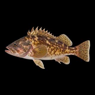
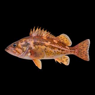
6 target fish, led by Brown Rockfish
- Brown Rockfish — Feeding water: 55–65°F.
- Shiner Perch — Feeding water: 60–75°F.
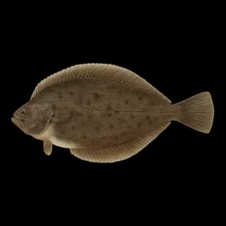
- Pacific Dover Sole — Feeding water: 50–60°F.
- Copper Rockfish — Feeding water: 50–60°F.
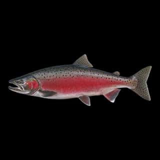
- Chinook Salmon — Feeding water: 50–60°F.
- Coho Salmon — Feeding water: 50–60°F.
2 ramps and launches on this water
On this water we hold 2 boat ramps.
- Elliott Bay Marina — Seattle. 2601 West Marina Place, Seattle 98199
- Don Armeni 1222 Harbor Avenue Southwest · website seattle.gov/parks/allparks/don-armeni-boat-ramp · hours: Su-Sa 06:00-22:00
Fee and opening hours are blank for all 2 places in this list: a blank means we hold no such field, not that it is free or always open, and this list may not be complete.
What is hard here
Only 2 public ramps are on file, so the launch decides where you fish.
Where this data comes from
- USACE eHydro — USACE eHydro channel surveys: class A, a survey of the bottom.
- NOAA NOS Hydro — NOAA NOS hydrographic survey archive: class A, a survey of the bottom.
- NOAA ENC — NOAA Electronic Navigational Charts: soundings: class A, a survey of the bottom.
- NOAA ENC — NOAA Electronic Navigational Charts: depth contours: class A, a survey of the bottom.
- NOAA National Bathymetric Source (S-102 ed3.0.0) — NOAA S-102 bathymetric surfaces: contours: class A, a survey of the bottom.