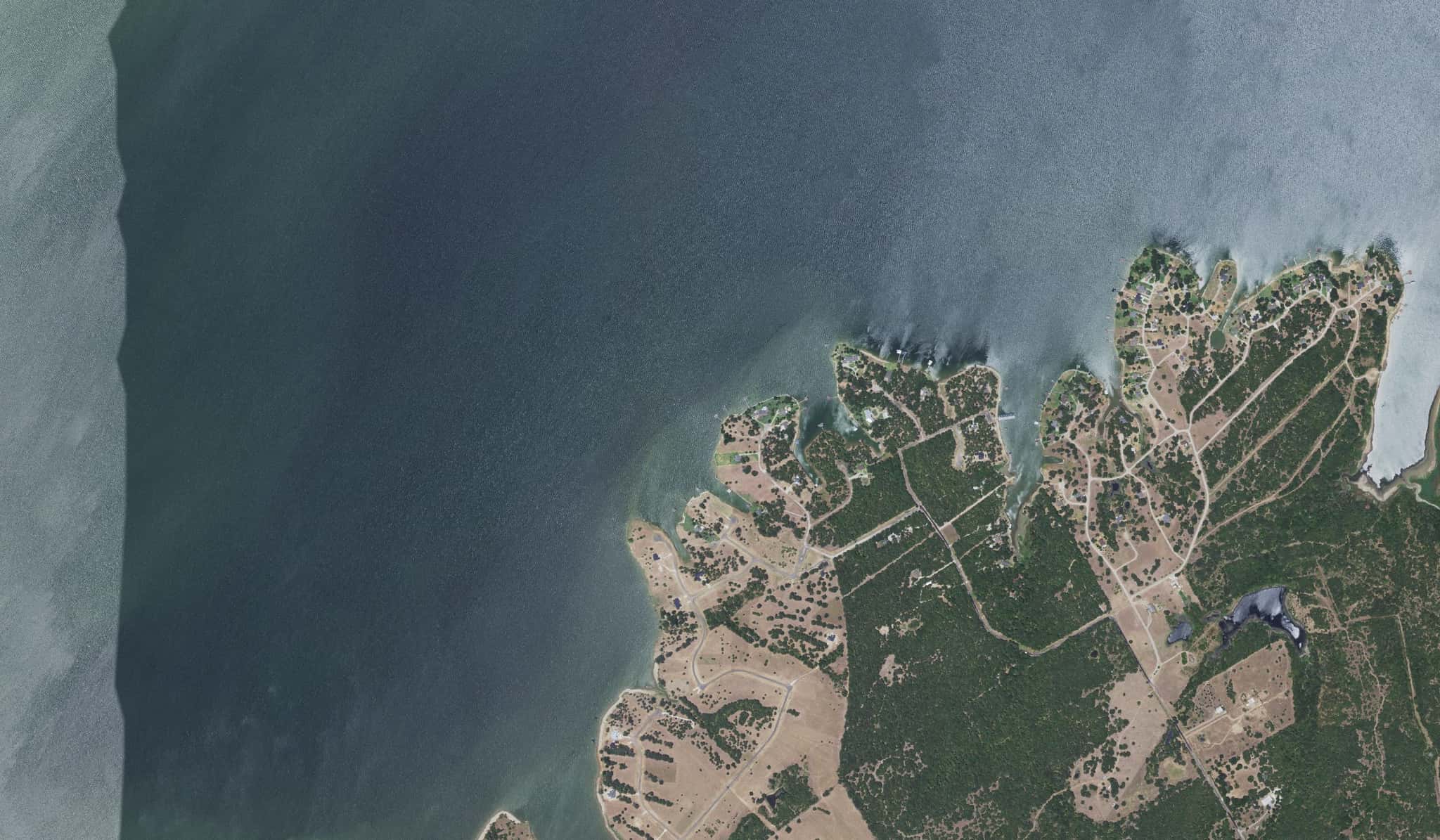
Richland-Chambers Reservoir fishing: Largemouth Bass, Striped Bass, White Bass
Target species: Largemouth Bass, Striped Bass, White Bass, Channel Catfish, Bluegill, Blue Catfish, Flathead Catfish
The reservoir
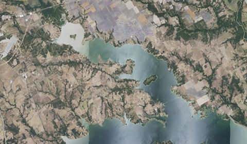
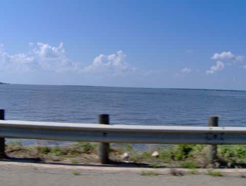
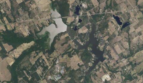
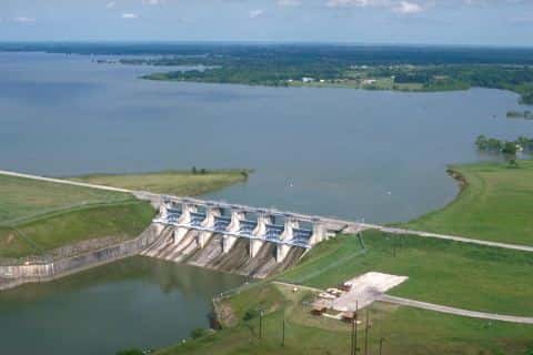
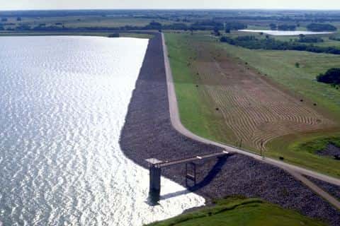
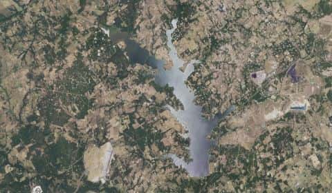
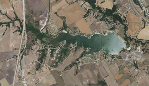
Richland-Chambers Reservoir covers 28,298 acres in Texas, across 2 counties: Navarro and Freestone. It is a reservoir: 93.8% of it is 55 feet deep or less; the deepest point measured is 79.4 feet (24.2 m). Our records hold 23 species for this water.
Depth: down to 79.4 ft at the deepest measured point
Deepest measured point: 79.4 ft (24.2 m). 93.8% of the water is 55 feet or shallower.
- 0–5 ft: 9.3% of the water
- 5–10 ft: 13.2% of the water
- 10–15 ft: 10.5% of the water
- 15–20 ft: 9% of the water
- 20–25 ft: 8.2% of the water
- 25–30 ft: 7.1% of the water
- 30–35 ft: 7.5% of the water
- 35–40 ft: 6.5% of the water
- 40–45 ft: 5.4% of the water
- 45–50 ft: 9.5% of the water
- 50–55 ft: 7.6% of the water
- 55–60 ft: 5.1% of the water
- 60–65 ft: 1% of the water
- 65–69 ft: 0.1% of the water
7 target fish, led by Largemouth Bass
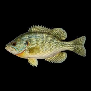
- Largemouth Bass — Feeding water: 65–85°F.
- Striped Bass — Feeding water: 60–75°F.
- White Bass — Feeding water: 65–75°F.
- Channel Catfish — Feeding water: 70–85°F.
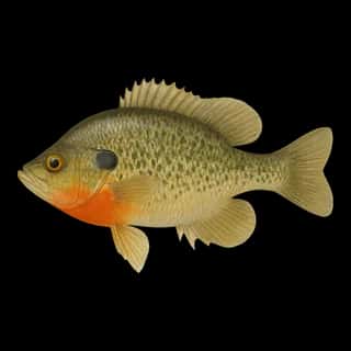
- Bluegill — Feeding water: 70–85°F.
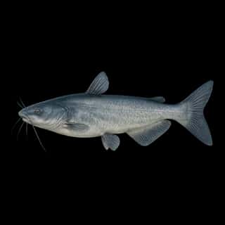
- Blue Catfish — Feeding water: 70–85°F.
- Flathead Catfish — Feeding water: 70–85°F.
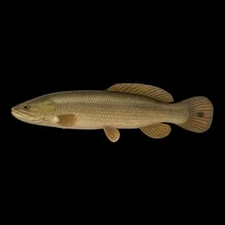
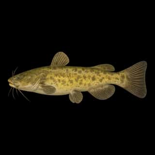
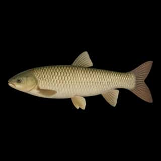
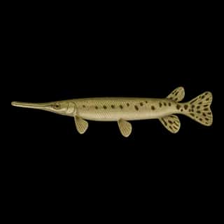
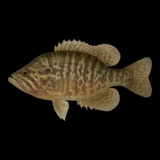
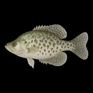
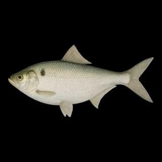
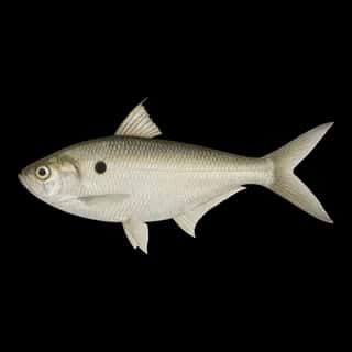
Also recorded here: White Crappie, Freshwater Drum, Alligator Gar, Black Bullhead, Black Crappie, Redear, Warmouth, Green Sunfish, Redbreast, Longnose Gar, Bowfin, Common Carp, Grass Carp, Goldfish, Gizzard Shad, Threadfin Shad.
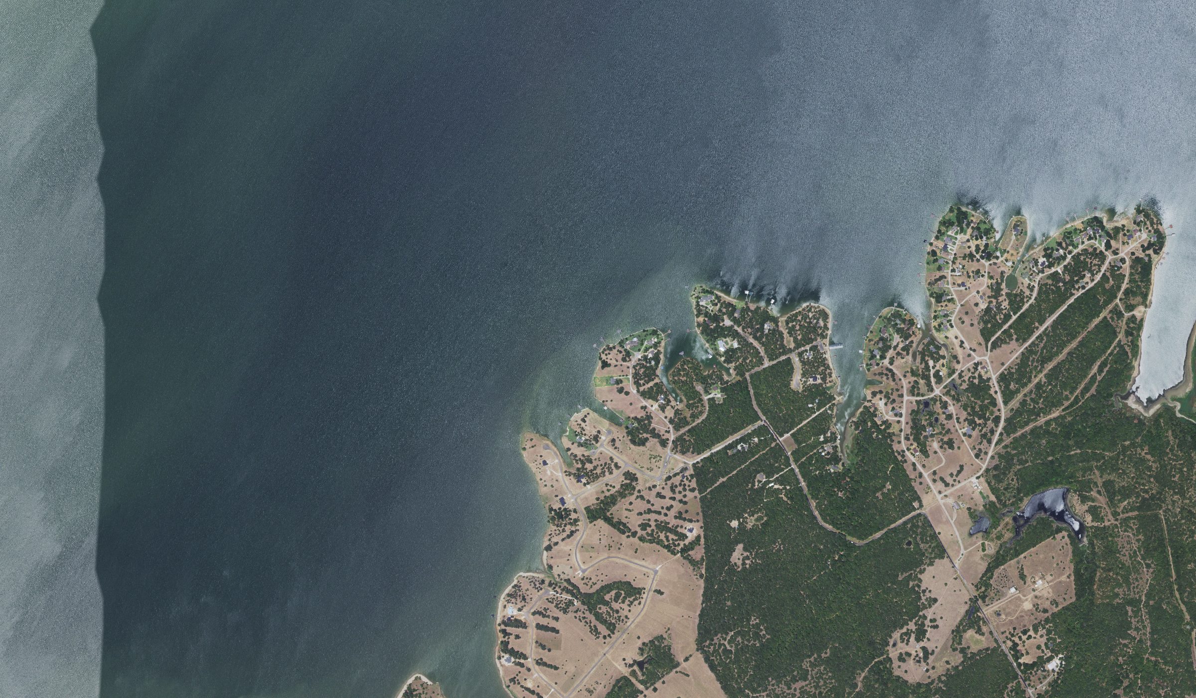
Water and conditions
Our water temperature readings average 60°F; they do not cover the whole year, so this is not a yearly average. These readings span 2019. The latest reading is from 2019, more than three years ago: read these numbers as history, not as the water today.
What is hard here
Wind is the limit, not the fish: 28,298 acres of open water build a short steep chop, and there is no shelter in the middle.
Where this data comes from
- Texas Water Development Board — Texas Water Development Board: depth contours: class A, a survey of the bottom, 2018.
- Webster, K.E., McCullough, I.M., Soranno, P.A. LAGOS-US DEPTH v1.0, EDI, doi:10.6073/pasta/64ddc4d04661d9aef4bd702dc5d8984f (CC BY 4.0); Cheruvelil et al. LAGOS-US LOCUS v1.0 (EDI) — LAGOS-US DEPTH v1.0: Lake depth for 17,675 lakes in the conterminous U.S.: class B, a depth figure measured and published by an agency, without a bottom map.