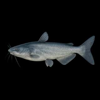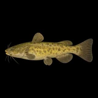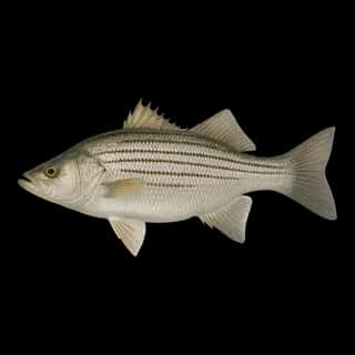
Navarro Mills Lake fishing: Largemouth Bass, Striped Bass, Blue Catfish
Target species: Largemouth Bass, Striped Bass, Blue Catfish, Flathead Catfish, Channel Catfish, Sunshine Bass, White Bass
The reservoir
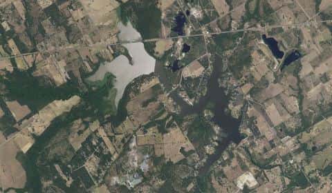
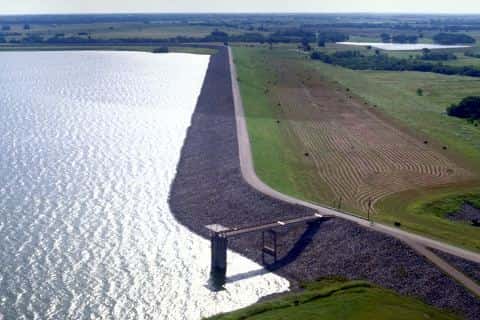
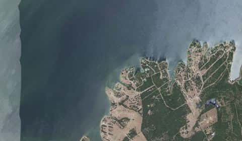
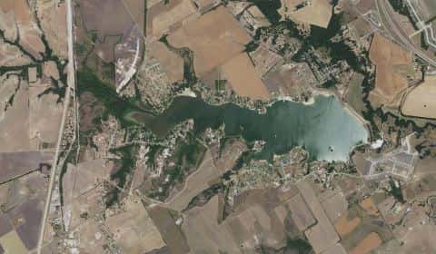
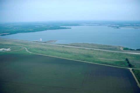
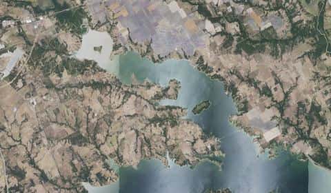
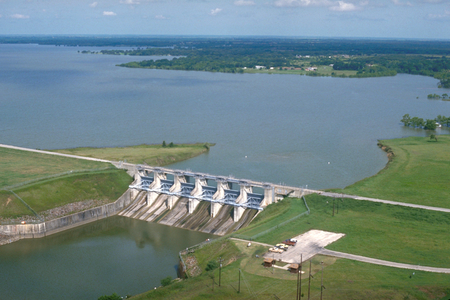
Navarro Mills Lake covers 4,772 acres in Texas, across Navarro County. It is a reservoir: 90.2% of it is 24 feet deep or less; the deepest point measured is at least 28.4 feet (8.7 m). Our records hold 7 species for this water.
7 target fish, led by Largemouth Bass
- Largemouth Bass — Feeding water: 65–85°F.
- Striped Bass — Feeding water: 60–75°F.
- Blue Catfish — Feeding water: 70–85°F.
- Flathead Catfish — Feeding water: 70–85°F.
- Channel Catfish — Feeding water: 70–85°F.
- Sunshine Bass — Feeding water: 70–80°F. Nonnative.
- White Bass — Feeding water: 65–75°F.
Depth and bottom
Deepest measured point: at least 28.4 ft (8.7 m). That is the deepest contour line: the bottom goes deeper. 90.2% of the water is 24 feet or shallower. We hold 77 depth contour lines for this water.
- 0–2 ft: 2.8% of the water
- 2–4 ft: 5.9% of the water
- 4–6 ft: 9% of the water
- 6–8 ft: 13.4% of the water
- 8–10 ft: 12.7% of the water
- 10–12 ft: 9.3% of the water
- 12–14 ft: 8.7% of the water
- 14–16 ft: 10% of the water
- 16–18 ft: 8.7% of the water
- 18–20 ft: 4.9% of the water
- 20–22 ft: 2.3% of the water
- 22–24 ft: 2.5% of the water
- 24–26 ft: 5.8% of the water
- deeper than 26 ft: 4% of the water
Water and conditions
Water clarity runs 1.1–2.6 feet on our readings, averaging 1.7 feet, from 34 readings. Our water temperature readings average 79°F; they do not cover the whole year, so this is not a yearly average. pH averages 8. These readings span 2017–2026.
Stocking: 2,927,765 fish, 1967–2003
Texas Parks and Wildlife Department records list 2,927,765 fish released into this water from 1967 to 2003. The latest stocking on record is from 2003, more than three years ago.
- Striped Bass: 662,280 in 1967–1971
- Channel Catfish: 111,094 in 1984–1986
- Flathead Catfish: 500 in 1968
2 more species on the stocking list.
Where this data comes from
- Texas Water Development Board — Texas Water Development Board: depth contours: class A, a survey of the bottom.
- USACE CWMS — USACE CWMS elevation-area curves: class B, a depth figure measured and published by an agency, without a bottom map.
- Webster, K.E., McCullough, I.M., Soranno, P.A. LAGOS-US DEPTH v1.0, EDI, doi:10.6073/pasta/64ddc4d04661d9aef4bd702dc5d8984f (CC BY 4.0); Cheruvelil et al. LAGOS-US LOCUS v1.0 (EDI) — LAGOS-US DEPTH v1.0: Lake depth for 17,675 lakes in the conterminous U.S.: class B, a depth figure measured and published by an agency, without a bottom map.