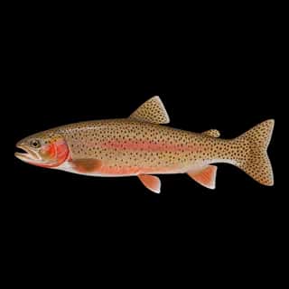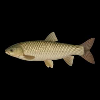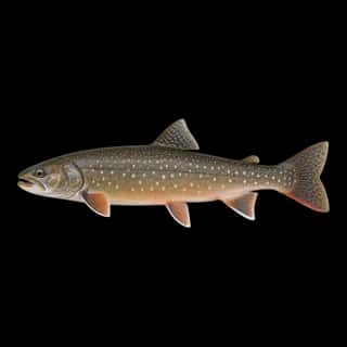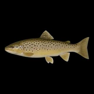
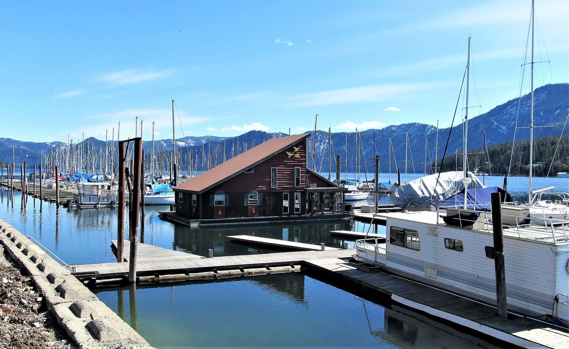
Lake Pend Oreille fishing: Rainbow Trout, Northern Pike, Cutthroat Trout
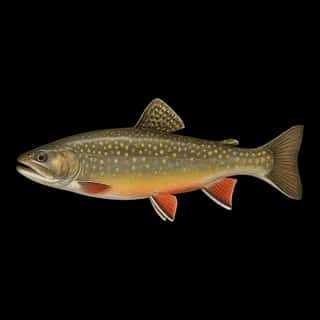
Target species: Rainbow Trout, Northern Pike, Cutthroat Trout, Walleye, Smallmouth Bass, Bull Trout, Brown Trout
Boat: 9 ramps and launches on file for this water.
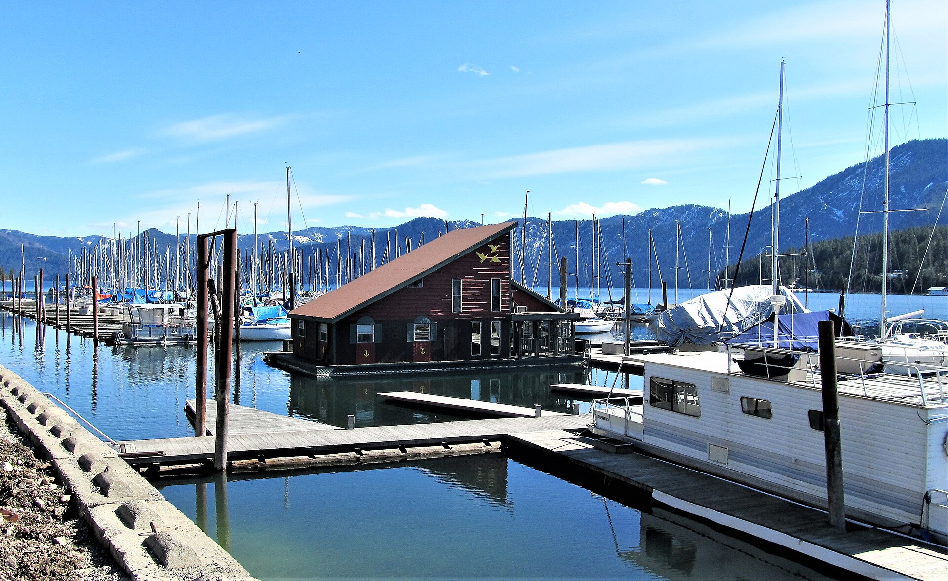
Start here: Launch at Clark Fork Driftyard.
The lake
Lake Pend Oreille covers 92,552 acres in Idaho, across 2 counties: Bonner and Kootenai. It is a lake: 94.1% of it is 1100 feet deep or less; the deepest point measured is 1158 feet (352.9 m). Our records hold 20 species for this water.
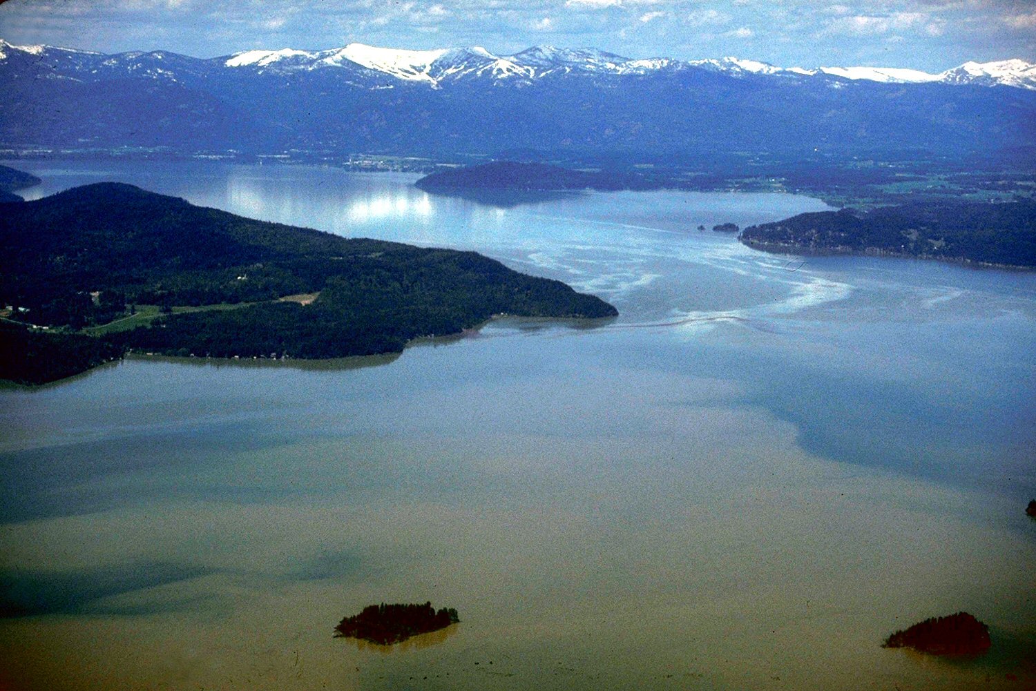
Depth: down to 1158 ft at the deepest measured point
Deepest measured point: 1158 ft (352.9 m). 94.1% of the water is 1100 feet or shallower. We hold 17 depth contours for this water, drawn from 803 soundings.
- 0–100 ft: 37.7% of the water
- 100–200 ft: 5.5% of the water
- 200–300 ft: 3.8% of the water
- 300–400 ft: 3.6% of the water
- 400–500 ft: 2.9% of the water
- 500–600 ft: 3.3% of the water
- 600–700 ft: 5.3% of the water
- 700–800 ft: 6.8% of the water
- 800–900 ft: 6.8% of the water
- 900–1000 ft: 8.4% of the water
- 1000–1100 ft: 10% of the water
- 1100–1116 ft: 5.9% of the water
7 target fish, led by Rainbow Trout
- Rainbow Trout — Feeding water: 50–65°F.
- Northern Pike — Feeding water: 50–75°F.
- Cutthroat Trout — Feeding water: 50–65°F.
- Walleye — Feeding water: 50–75°F.
- Smallmouth Bass — Feeding water: 60–75°F.
- Bull Trout — Feeding water: 45–60°F.
- Brown Trout — Feeding water: 50–65°F.
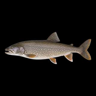
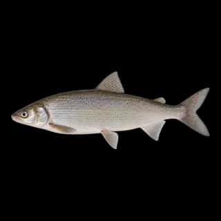
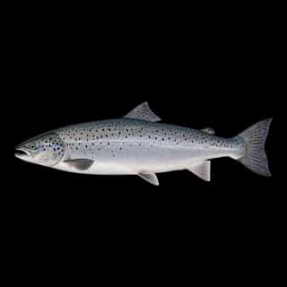
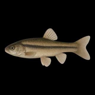
Also recorded here: Atlantic Salmon, Largemouth Bass, Brook Trout, Channel Catfish, Lake Trout, Lake Whitefish, Black Crappie, Bluegill, Yellow Perch, Pumpkinseed, Brown Bullhead, Grass Carp, Fathead Minnow.
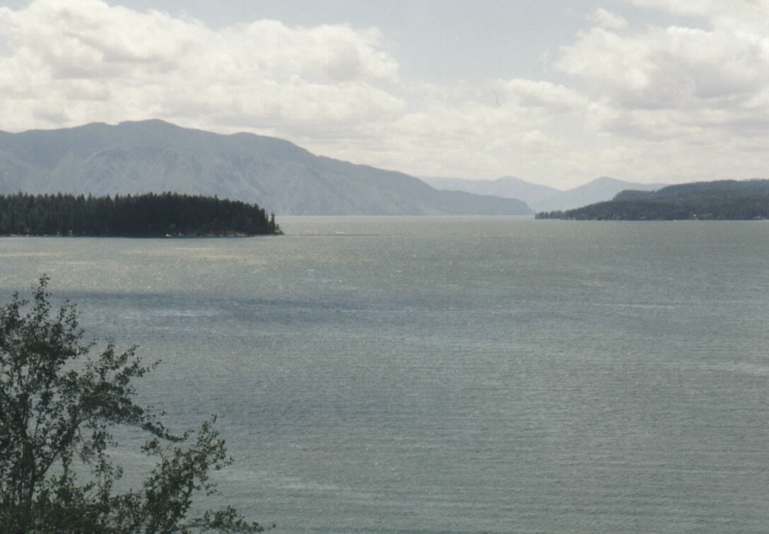
Stocking: 86,527,511 fish, 1983–2026
Idaho Department of Fish and Game records list 86,527,511 fish released into this water from 1983 to 2026.
- Bull Trout: 1,091,645 in 1971–1974
- Rainbow Trout: 431,343 in 1968–2002
3 more species on the stocking list.
9 ramps and launches on this water
On this water we hold 9 boat ramps and 3 shore access points.
- Sam Owen Boat Dock — restrooms. Concessionaire. website fs.usda.gov/recarea/ipnf/recarea/?recid=6798
- Whiskey Rock Bay Boat Launch — US Forest Service. website fs.usda.gov/recarea/ipnf/recarea/?recid=6801
- Clark Fork Driftyard — restrooms.
- Garfield Bay — restrooms.
- Hawkins Point - Pack River — restrooms.
- Johnson Creek — restrooms.
- Morton Slough — restrooms. On Pend Oreille River.
- Pringle Park - East Hope — restrooms.
- Sunnyside Park
Shore access for bank fishing
- Crystal Lake — restrooms.
- Denton Slough — restrooms.
- Hoodoo Creek
Fee and opening hours are blank for all 12 places in this list: a blank means we hold no such field, not that it is free or always open, and this list may not be complete.
Water and conditions
pH averages 8.5. These readings span 2023.
What is hard here
Wind is the limit, not the fish: 92,552 acres of open water build a short steep chop, and there is no shelter in the middle.
Where this data comes from
- NOAA ENC — NOAA Electronic Navigational Charts: soundings: class A, a survey of the bottom.
- NOAA ENC — NOAA Electronic Navigational Charts: depth contours: class A, a survey of the bottom.
- Webster, K.E., McCullough, I.M., Soranno, P.A. LAGOS-US DEPTH v1.0, EDI, doi:10.6073/pasta/64ddc4d04661d9aef4bd702dc5d8984f (CC BY 4.0); Cheruvelil et al. LAGOS-US LOCUS v1.0 (EDI) — LAGOS-US DEPTH v1.0: Lake depth for 17,675 lakes in the conterminous U.S.: class B, a depth figure measured and published by an agency, without a bottom map.