Lake Mendota fishing: Largemouth Bass, Northern Pike, Walleye
Target species: Largemouth Bass, Northern Pike, Walleye, White Bass, Bluegill, Black Crappie, Rainbow Trout
Boat: 9 ramps and launches on file for this water.
Start here: Launch at Governor Nelson State Park Boat Landing.
The lake
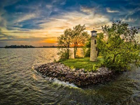
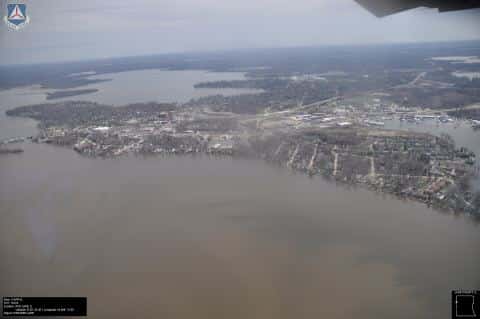
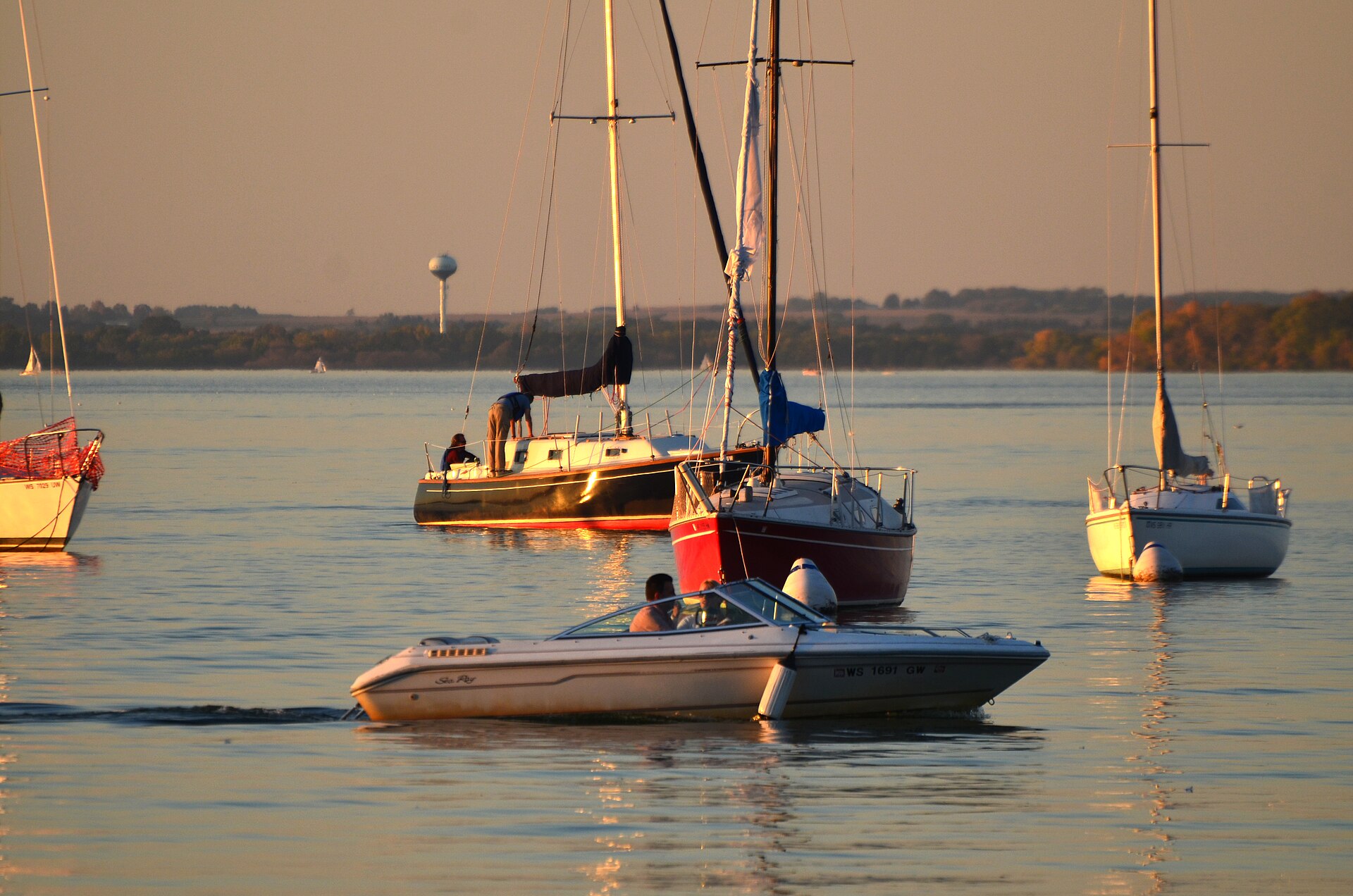
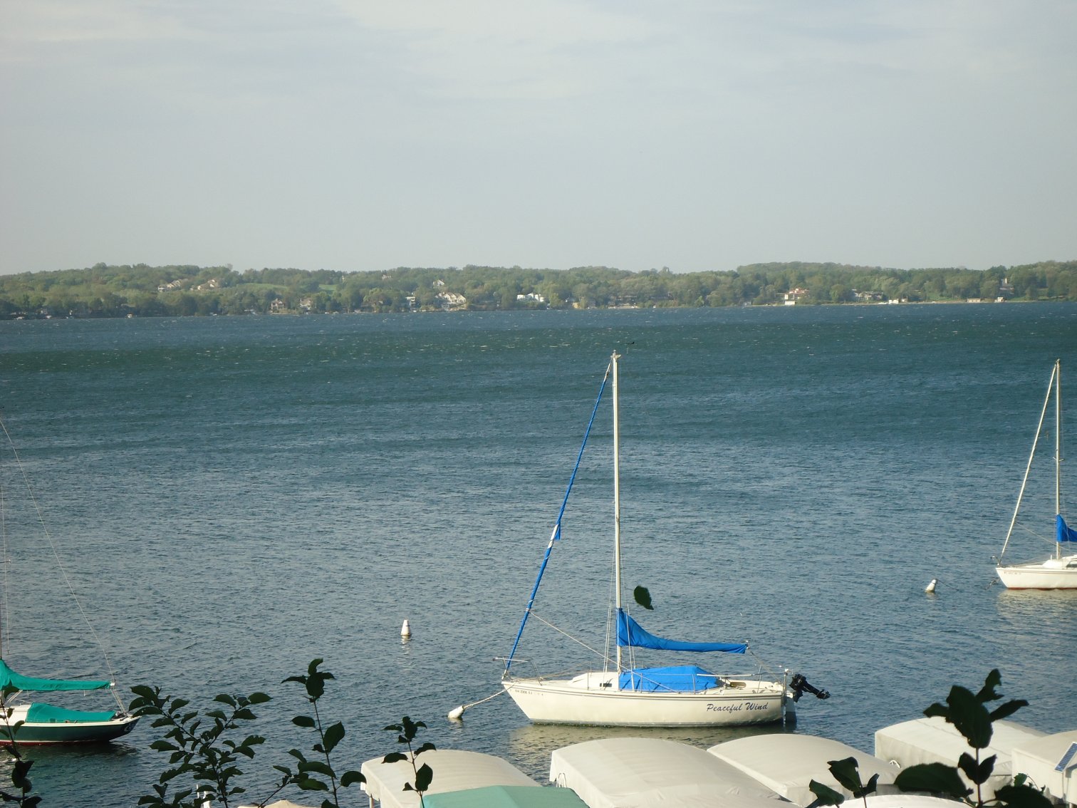
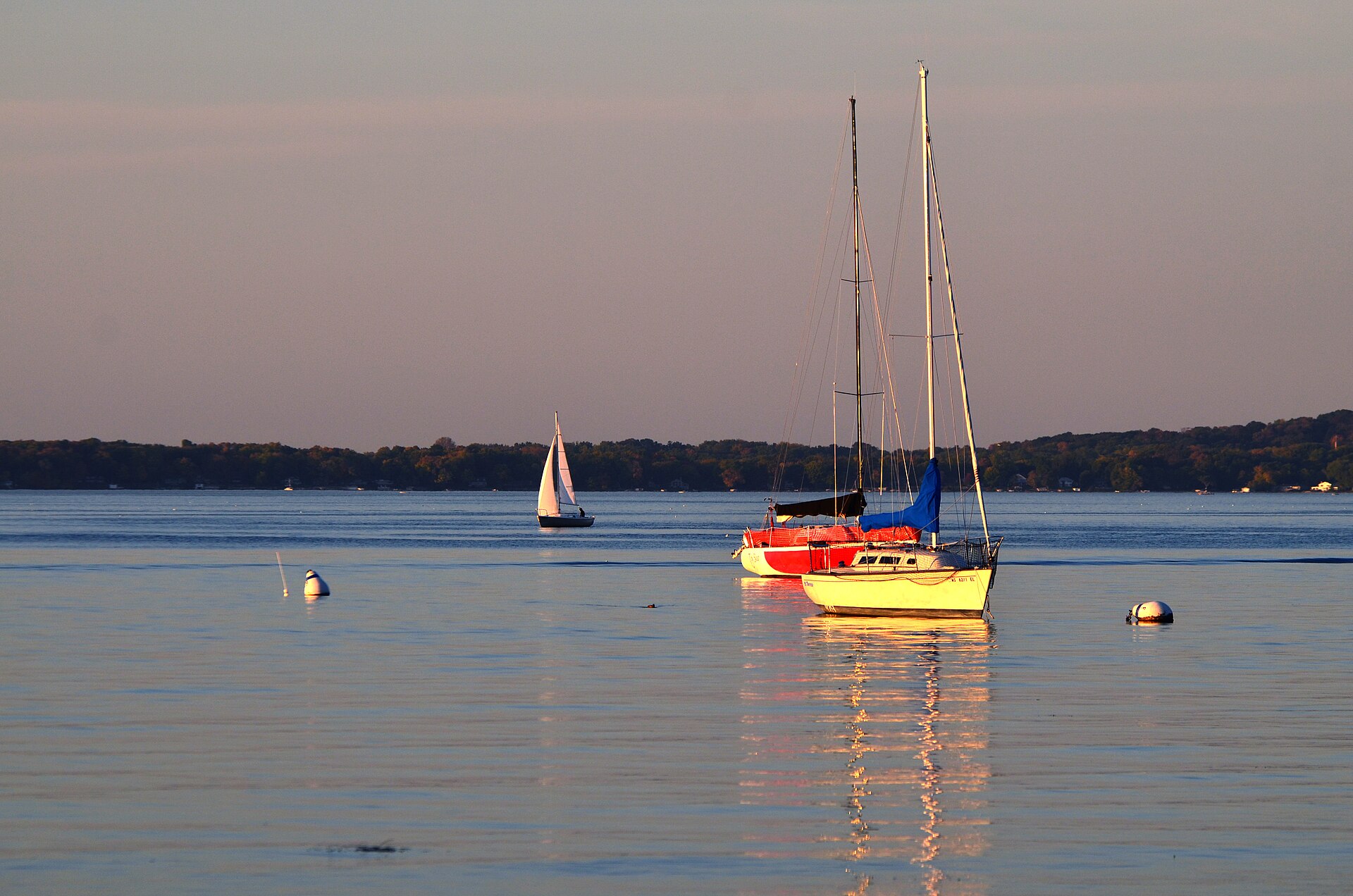
Lake Mendota covers 9,905 acres in Wisconsin, across Dane County. It is a lake: 95.9% of it is 75 feet deep or less; the deepest point measured is at least 80 feet (24.4 m). Our records hold 10 species for this water.
Depth and bottom
Deepest measured point: at least 80 ft (24.4 m). That is the deepest contour line: the bottom goes deeper. 95.9% of the water is 75 feet or shallower. We hold 38 depth contour lines for this water.
- 0–5 ft: 12.4% of the water
- 5–10 ft: 7.1% of the water
- 10–15 ft: 6.3% of the water
- 15–20 ft: 3.6% of the water
- 20–25 ft: 3.2% of the water
- 25–30 ft: 3.4% of the water
- 30–35 ft: 3.5% of the water
- 35–40 ft: 4.2% of the water
- 40–45 ft: 5.3% of the water
- 45–50 ft: 5.6% of the water
- 50–55 ft: 5.9% of the water
- 55–60 ft: 8.6% of the water
- 60–65 ft: 12.5% of the water
- 65–70 ft: 6.5% of the water
- 70–75 ft: 7.8% of the water
- 75–80 ft: 4.3% of the water
7 target fish, led by Largemouth Bass
- Largemouth Bass — Feeding water: 65–85°F.
- Northern Pike — Feeding water: 50–75°F.
- Walleye — Feeding water: 50–75°F.
- White Bass — Feeding water: 65–75°F.
- Bluegill — Feeding water: 70–85°F.
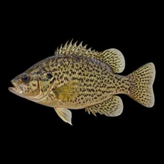
- Black Crappie — Feeding water: 65–75°F.
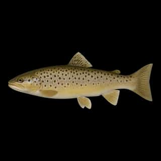
- Rainbow Trout — Feeding water: 50–65°F.
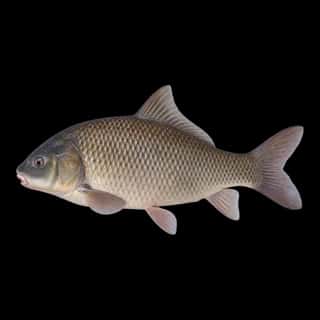
Also recorded here: Cisco, Brown Trout, Common Carp.
Stocking: 141,899,146 fish, 1985–2024
Wisconsin DNR records list 141,899,146 fish released into this water from 1985 to 2024.
- Walleye: 78,673,323 in 1989–2024
- Northern Pike: 63,204,591 in 1988–2014
- Largemouth Bass: 1,000 in 1981
- Black Crappie: 905 in 1992
- Bluegill: 905 in 1992
One more species on the stocking list.
Water and conditions
Water clarity runs 3.7–18.5 feet on our readings, averaging 8.3 feet, from 33 readings. Our water temperature readings average 64°F; they do not cover the whole year, so this is not a yearly average. pH averages 7.6. These readings span 2017–2026.
9 ramps and launches on this water
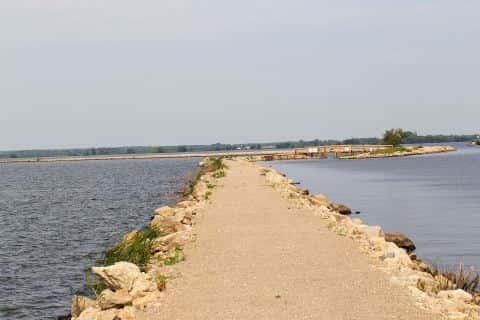
On this water we hold 9 boat ramps and 5 shore access points.
- Governor Nelson State Park Boat Landing — Town Of Westport, Gov. Nelson State Park. phone (608) 831-3005
- Lake Street Boat Ramp — City Of Madison, Madison Parks Dept. phone (608) 266-4711
- Marshall Park Boat Ramp — City Of Madison, Madison Parks Dept. phone (608) 266-4711
- Mendota County Park Boat Launch — Town Of Westport, Dane County Parks Division. phone (608) 224-3730
- Spring Harbor Park Boat Ramp — City Of Madison, Madison Parks Dept. phone (608) 266-4711
- Tenney Park Boat Ramp — City Of Madison, Madison Parks Dept. phone (608) 266-4711
- Warner Park Boat Ramp — City Of Madison, Madison Parks Dept. phone (608) 266-4711
- Willow Drive Boat Launch — City Of Madison, Madison Parks Dept. phone (608) 266-4711
- Mazanet Marina — Waunakee. 5316 Blue Bill Park Drive, Waunakee 53597
Shore access for bank fishing
- Governor Nelson State Park Fishing Pier — Town Of Westport. website dnrmaps.wi.gov/LF_ShowDetails/shorefishing.aspx?ID=13
- Governors Island — City Of Madison, Mendota Mental Health.
- James Madison Park Canoe/Kayak Launch
- Middleton Boat Ramp — City Of Middleton, Recreation Dept. phone (608) 821-8360
- Veith Avenue Carry-In Access — City Of Madison, Property Supervisor. phone 608-935-1914
Fee and opening hours are blank for all 14 places in this list: a blank means we hold no such field, not that it is free or always open, and this list may not be complete.
What is hard here
Wind is the limit, not the fish: 9,905 acres of open water build a short steep chop, and there is no shelter in the middle. Clarity swings from 3.7 to 18.5 feet between our readings — the water you meet is not the water someone photographed.
Where this data comes from
- North Temperate Lakes LTER (Magnuson, J., Carpenter, S.), Yahara Lakes District Bathymetry, EDI — Yahara Lakes District Bathymetry (Lake Mendota): class A, a survey of the bottom.
- Wisconsin DNR — Wisconsin DNR: reported depths: class B, a depth figure measured and published by an agency, without a bottom map.
- Webster, K.E., McCullough, I.M., Soranno, P.A. LAGOS-US DEPTH v1.0, EDI, doi:10.6073/pasta/64ddc4d04661d9aef4bd702dc5d8984f (CC BY 4.0); Cheruvelil et al. LAGOS-US LOCUS v1.0 (EDI) — LAGOS-US DEPTH v1.0: Lake depth for 17,675 lakes in the conterminous U.S.: class B, a depth figure measured and published by an agency, without a bottom map.