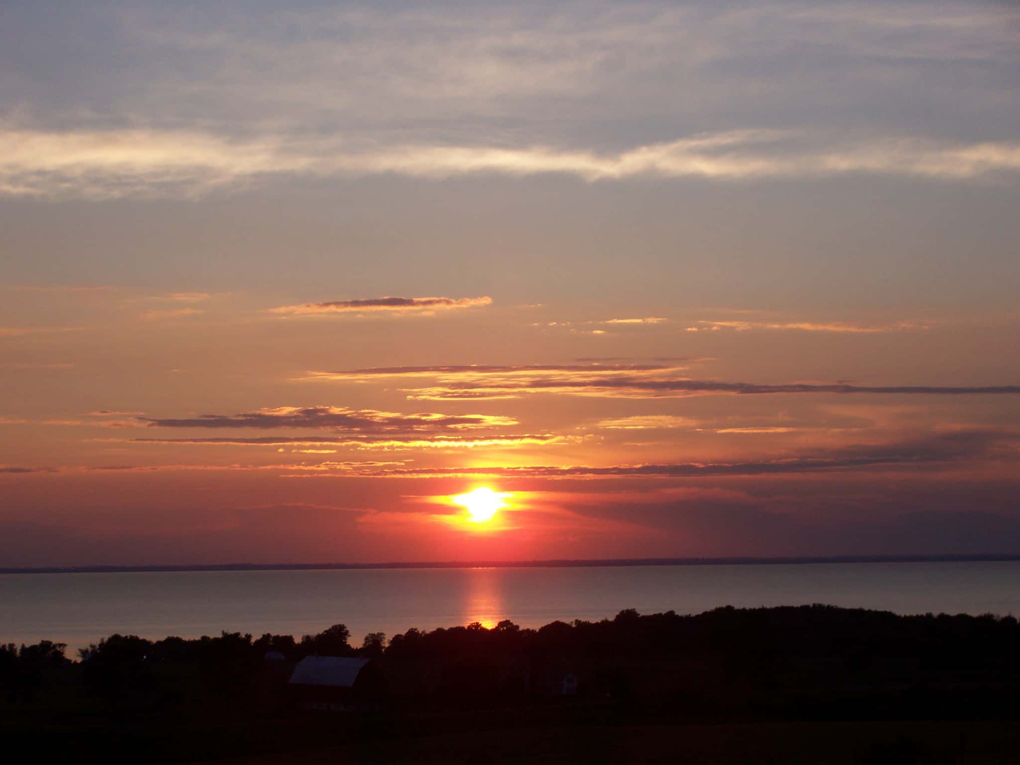
Lake Winnebago fishing: Muskellunge, Northern Pike, Sauger
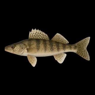
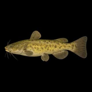
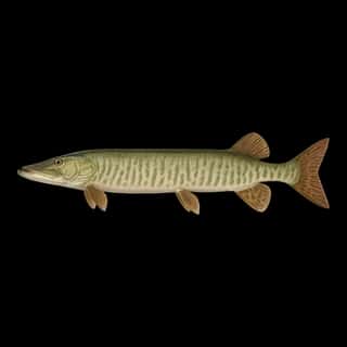
Target species: Muskellunge, Northern Pike, Sauger, Flathead Catfish
Boat: 23 ramps and launches on file for this water.
Start here: Launch at 24th Avenue Boat Launch.
The lake
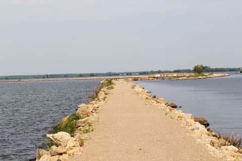
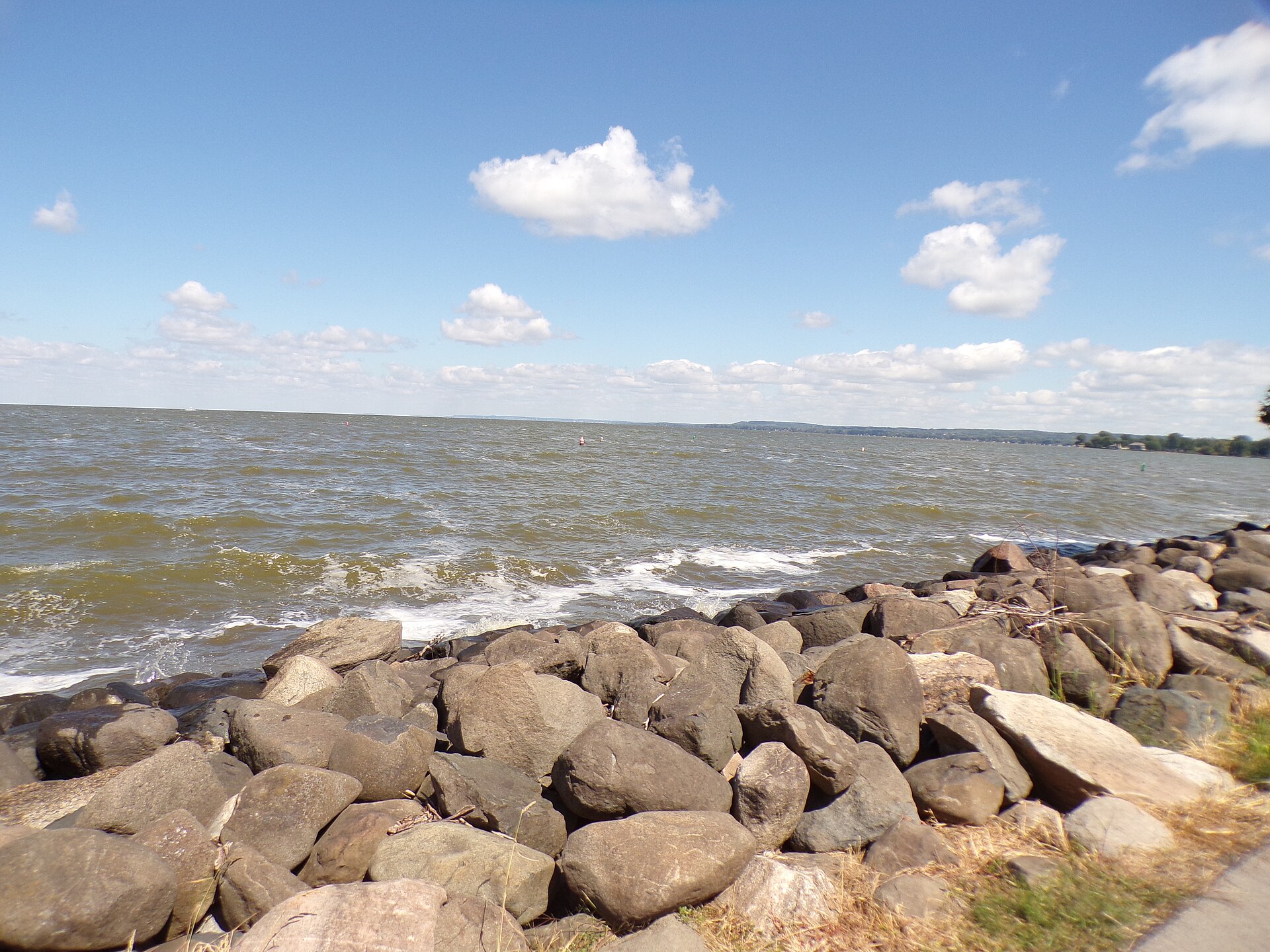
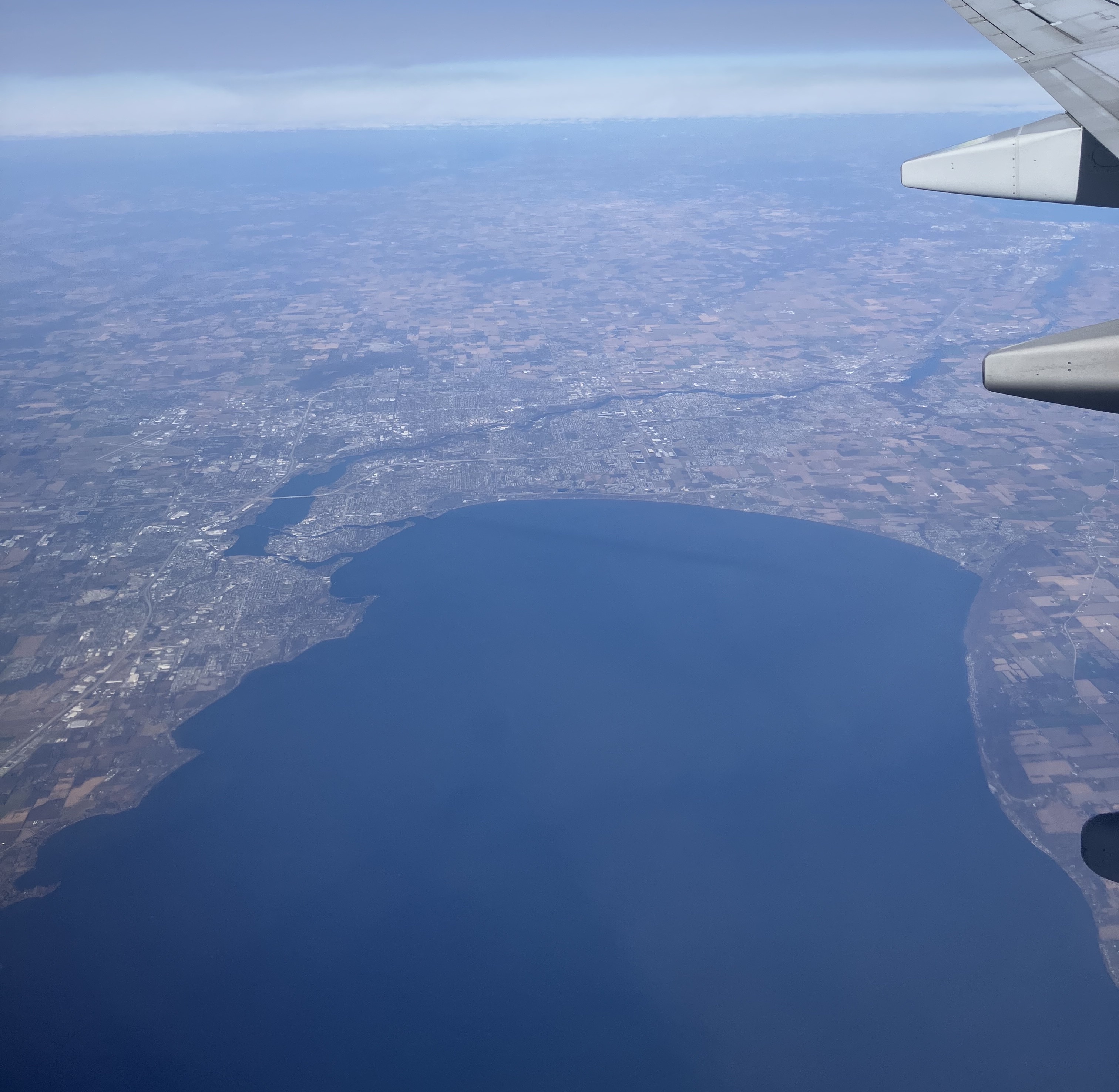
Lake Winnebago covers 132,193 acres in Wisconsin, across 3 counties: Winnebago, Fond du Lac and Calumet. It is a lake: 98.2% of it is 19 feet deep or less; the deepest point measured is 24.9 feet (7.6 m). Our records hold 7 species for this water.
Depth: down to 24.9 ft at the deepest measured point
Deepest measured point: 24.9 ft (7.6 m). 98.2% of the water is 19 feet or shallower. We hold 595 depth contours for this water, drawn from 4,080 soundings.
- 0–2 ft: 1.7% of the water
- 2–4 ft: 2.3% of the water
- 4–6 ft: 3% of the water
- 6–8 ft: 4.2% of the water
- 8–10 ft: 5% of the water
- 10–12 ft: 4.9% of the water
- 12–14 ft: 7.1% of the water
- 14–15 ft: 5.8% of the water
- 15–16 ft: 10.8% of the water
- 16–17 ft: 14.3% of the water
- 17–18 ft: 16.2% of the water
- 18–19 ft: 22.9% of the water
- 19–20 ft: 1.9% of the water
Stocking: 5,687,567 fish, 1963–2024
Wisconsin DNR records list 5,687,567 fish released into this water from 1963 to 2024.
- Sauger: 5,673,049 in 2001–2010
- Northern Pike: 9,896 in 2007
- Muskellunge: 3,992 in 2021–2024
One more species on the stocking list.
4 target fish, led by Muskellunge
- Muskellunge — Feeding water: 65–75°F.
- Northern Pike — Feeding water: 50–75°F.
- Sauger — Feeding water: 45–65°F.
- Flathead Catfish — Feeding water: 70–85°F.
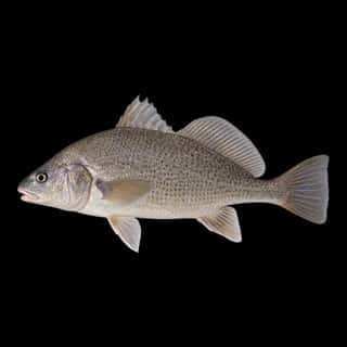
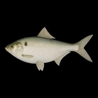
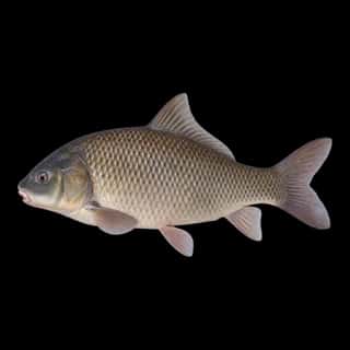
Also recorded here: Bigmouth Buffalo, Common Carp, Gizzard Shad.
23 ramps and launches on this water
On this water we hold 23 boat ramps and 2 shore access points.
- 24th Avenue Boat Launch — Town Of Oshkosh, Parks & Forestry Division. phone (920) 236-5080
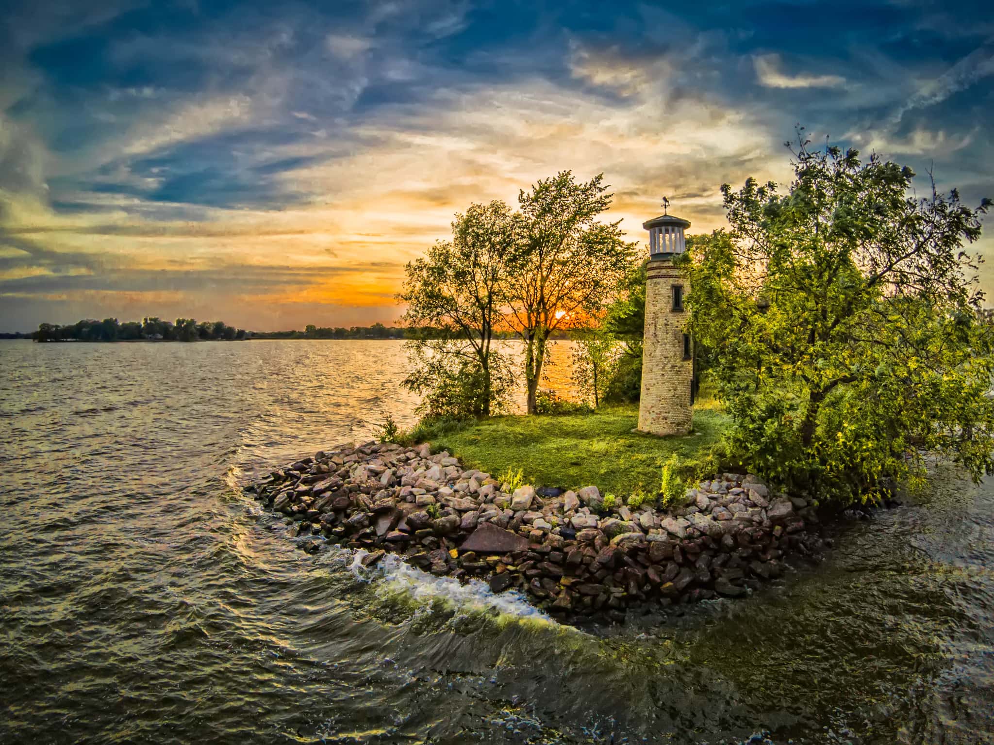
- Asylum Point Park & Boat Landing — Town Of Oshkosh, Parks Department. phone (920) 232-1960
- Calumet County Park Access — Town Of Stockbridge, Calumet County Parks Dept. phone (920) 439-1008
- Columbia Park Boat Launch — Town Of Calumet, Parks & Trails Dept. phone (920) 929-3135
- Doty Park Boat Ramp — City Of Neenah, Parks & Recreation Department. phone (920) 886-6060
- Ecker Lakeland Road Access — Town Of Brothertown, Town of Brothertown. phone 920-418-0949
- Fisherman's Park Boat Ramp — Town Of Taycheedah, Town of Taycheedah. phone 920-921-5224
- Fugleburg Park Boat Ramp — Town Of Oshkosh, Parks & Forestry Division. phone (920) 236-5080
- Grundman Park Boat Landing — Town Of Vinland, Parks Department. phone (920) 232-1960
- High Cliff State Park Marina — Town Of Harrison, High Cliff State Park. phone (920) 989-1106
Shore access for bank fishing
- Doemel Point Access — City Of Oshkosh, Parks Department. phone 920-236-5080
- Lake Winnebago Access — City Of Oshkosh, Parks & Forestry Division. phone (920) 236-5080
Fee and opening hours are blank for all 12 places in this list: a blank means we hold no such field, not that it is free or always open, and this list may not be complete.
Water and conditions
Water clarity runs 1.5–8 feet on our readings, averaging 4.3 feet, from 610 readings. Our water temperature readings average 63°F; they do not cover the whole year, so this is not a yearly average. The coldest single reading we hold is 41°F and the warmest is 80°F; the warmest monthly average is 77°F. pH averages 8.5. These readings span 2016–2026.
What is hard here
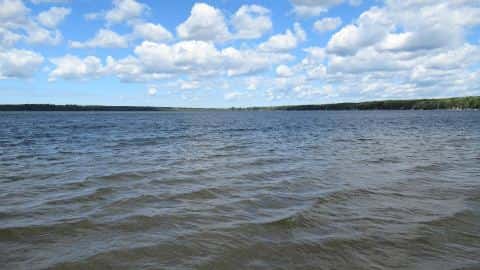
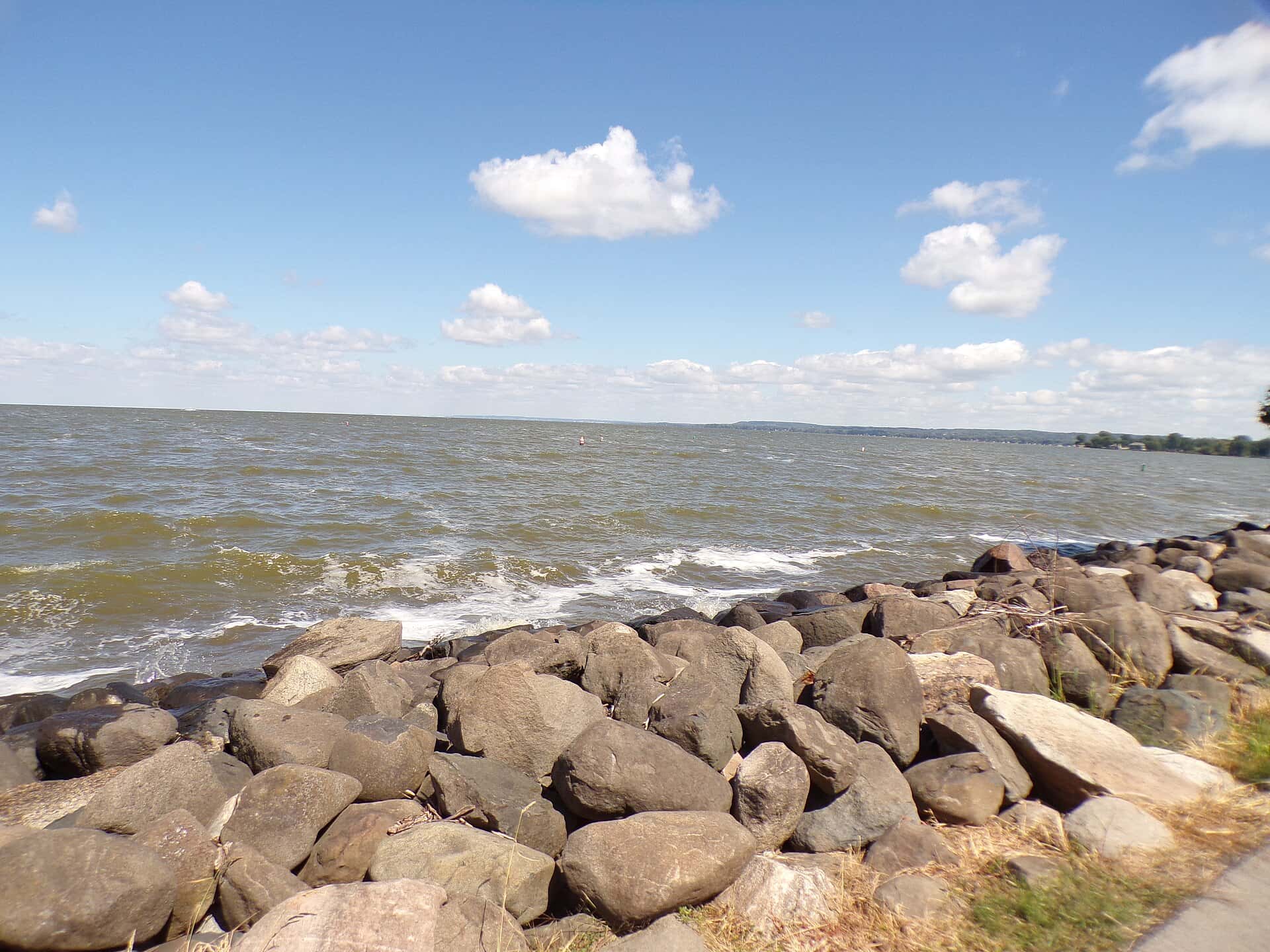
Wind is the limit, not the fish: 132,193 acres of open water build a short steep chop, and there is no shelter in the middle. Clarity swings from 1.5 to 8 feet between our readings — the water you meet is not the water someone photographed.
Where this data comes from
- NOAA ENC — NOAA Electronic Navigational Charts: soundings: class A, a survey of the bottom.
- NOAA National Bathymetric Source (S-102 ed3.0.0) — NOAA S-102 bathymetric surfaces: contours: class A, a survey of the bottom.
- NOAA ENC — NOAA Electronic Navigational Charts: depth contours: class A, a survey of the bottom.
- Wisconsin DNR — Wisconsin DNR: reported depths: class B, a depth figure measured and published by an agency, without a bottom map.
- EPA NLA — EPA National Lakes Assessment: class B, a depth figure measured and published by an agency, without a bottom map.
- Webster, K.E., McCullough, I.M., Soranno, P.A. LAGOS-US DEPTH v1.0, EDI, doi:10.6073/pasta/64ddc4d04661d9aef4bd702dc5d8984f (CC BY 4.0); Cheruvelil et al. LAGOS-US LOCUS v1.0 (EDI) — LAGOS-US DEPTH v1.0: Lake depth for 17,675 lakes in the conterminous U.S.: class B, a depth figure measured and published by an agency, without a bottom map.