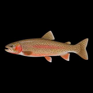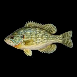
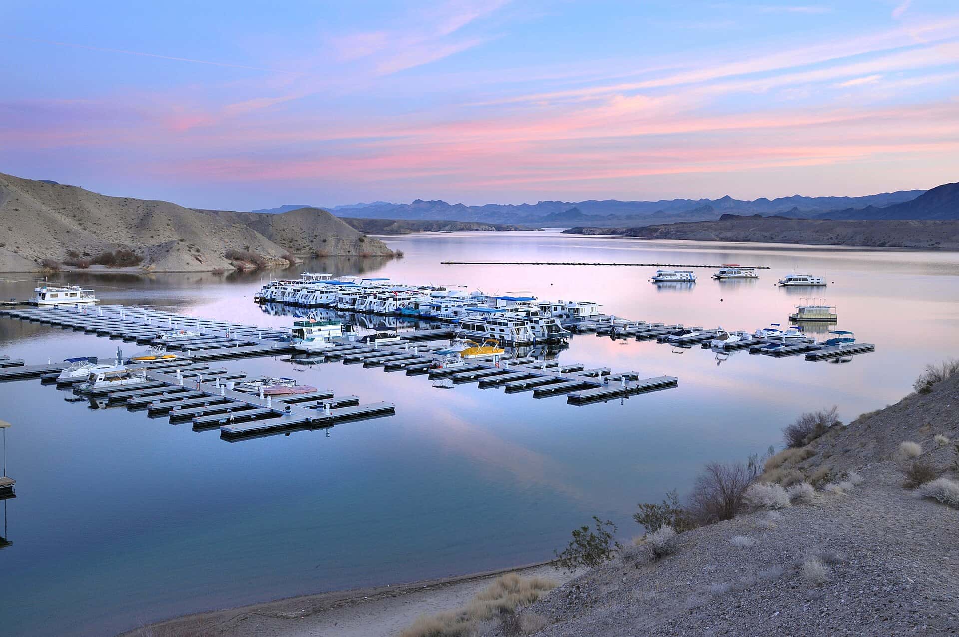
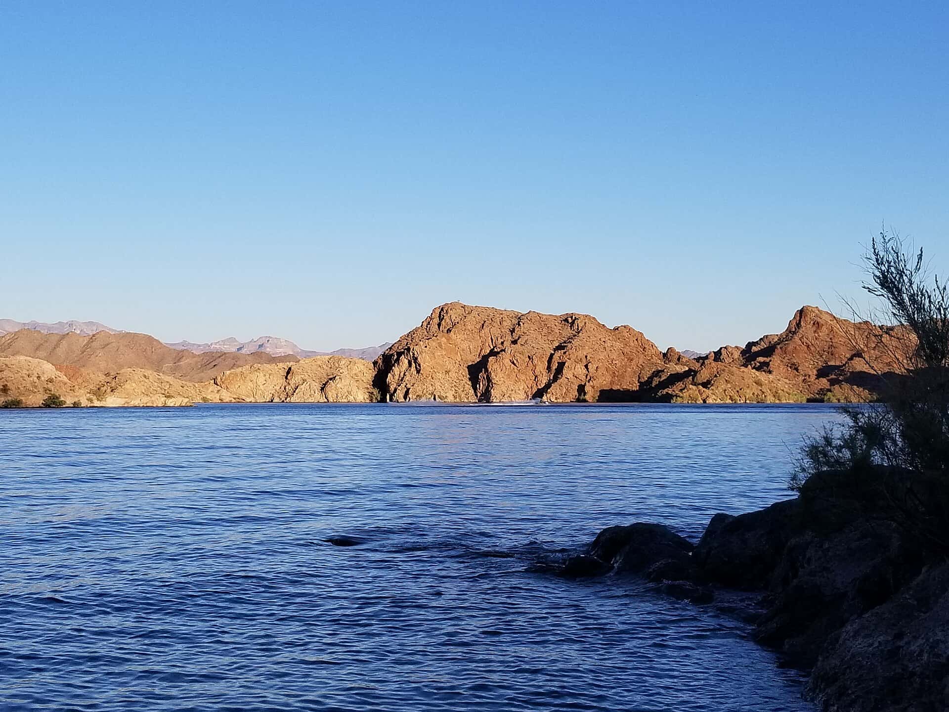
Lake Mohave fishing: Striped Bass, Largemouth Bass, Rainbow Trout
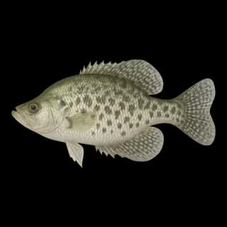
Target species: Striped Bass, Largemouth Bass, Rainbow Trout, Smallmouth Bass, Channel Catfish, Black Crappie, Bluegill
The reservoir
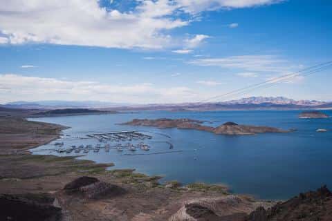
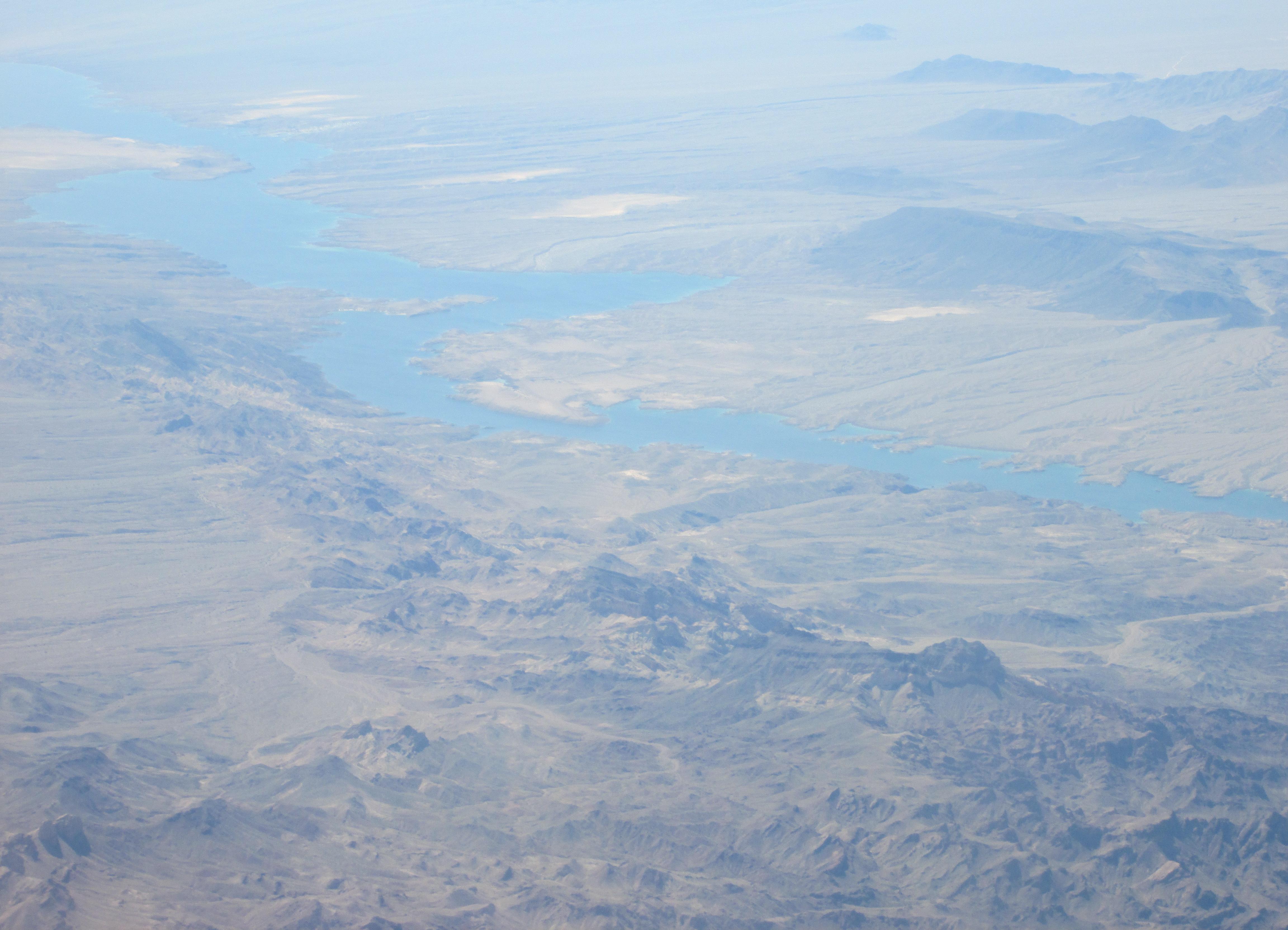
Lake Mohave covers 28,075 acres in Nevada, across Clark County. It is a reservoir: 95.4% of it is 100 feet deep or less; the deepest point measured is ≈159 feet (48.3 m). Our records hold 20 species for this water. 49% of the water lies in Arizona.
Depth and bottom
Deepest measured point: ≈159 ft (48.3 m). 95.4% of the water is 100 feet or shallower. We hold 553 depth contours for this water, drawn from 683,016 soundings.
- 0–10 ft: 14.2% of the water
- 10–20 ft: 8.2% of the water
- 20–30 ft: 7.7% of the water
- 30–40 ft: 6.9% of the water
- 40–50 ft: 6.9% of the water
- 50–60 ft: 7.2% of the water
- 60–70 ft: 7.9% of the water
- 70–80 ft: 15.4% of the water
- 80–90 ft: 14.8% of the water
- 90–100 ft: 6.2% of the water
- 100–110 ft: 3% of the water
- 110–120 ft: 1.5% of the water
- 120–129 ft: 0.2% of the water
7 target fish, led by Striped Bass
- Striped Bass — Feeding water: 60–75°F.
- Largemouth Bass — Feeding water: 65–85°F.
- Rainbow Trout — Feeding water: 50–65°F.
- Smallmouth Bass — Feeding water: 60–75°F.
- Channel Catfish — Feeding water: 70–85°F.
- Black Crappie — Feeding water: 65–75°F.
- Bluegill — Feeding water: 70–85°F.
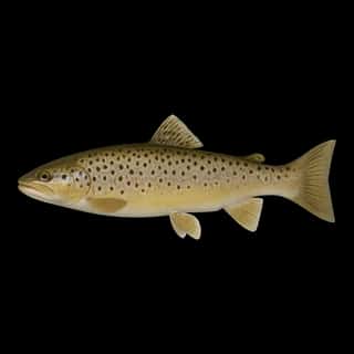
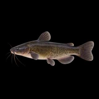
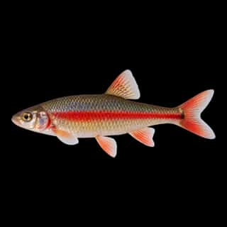
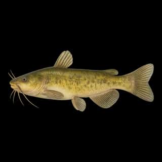
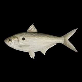
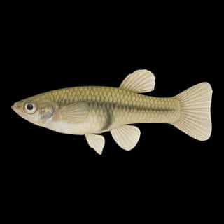
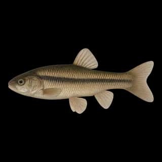
Also recorded here: Cutthroat Trout, Redear, Brown Trout, Black Bullhead, White Crappie, Green Sunfish, Yellow Bullhead, Common Carp, Red Shiner, Goldfish, Fathead Minnow, Threadfin Shad, Western Mosquitofish.
Water and conditions
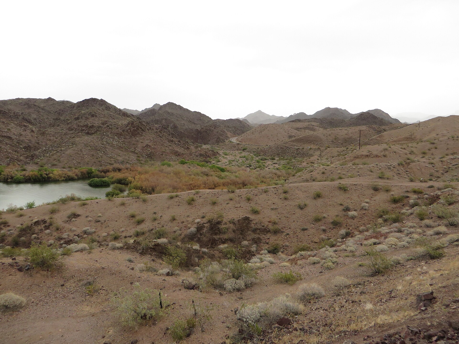
Our water temperature readings average 66°F; they do not cover the whole year, so this is not a yearly average. pH averages 8.3. These readings span 2016–2026.
What is hard here
Wind is the limit, not the fish: 28,075 acres of open water build a short steep chop, and there is no shelter in the middle.
Where this data comes from
- NOAA National Geodetic Survey / Office for Coastal Management — NOAA topobathymetric lidar DEMs: class A, a survey of the bottom, 2021.
- U.S. Bureau of Reclamation (RISE) — USBR area-capacity tables (RISE): class B, a depth figure measured and published by an agency, without a bottom map.
- Webster, K.E., McCullough, I.M., Soranno, P.A. LAGOS-US DEPTH v1.0, EDI, doi:10.6073/pasta/64ddc4d04661d9aef4bd702dc5d8984f (CC BY 4.0); Cheruvelil et al. LAGOS-US LOCUS v1.0 (EDI) — LAGOS-US DEPTH v1.0: Lake depth for 17,675 lakes in the conterminous U.S.: class B, a depth figure measured and published by an agency, without a bottom map.
Part of these depths rest on an averaged water level, so they are approximate (≈).