Salton Sea fishing: Striped Bass, Largemouth Bass, Smallmouth Bass
Target species: Striped Bass, Largemouth Bass, Smallmouth Bass
The lake
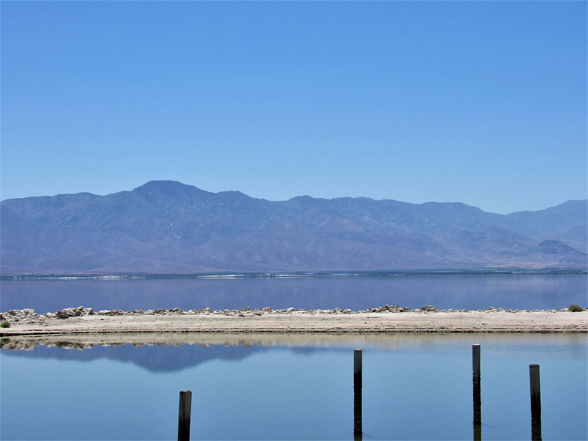
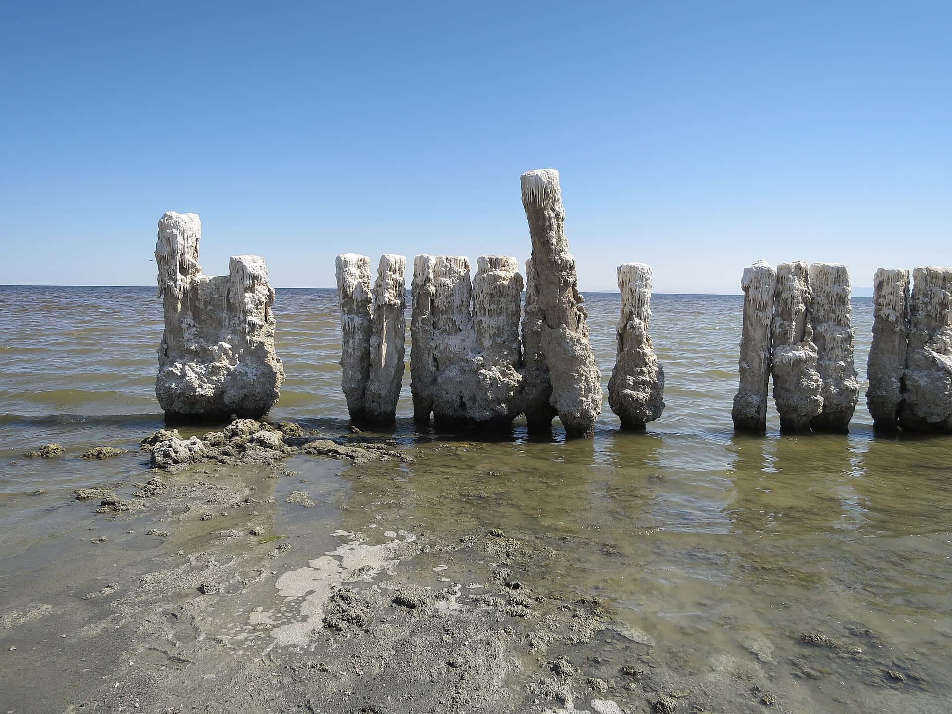
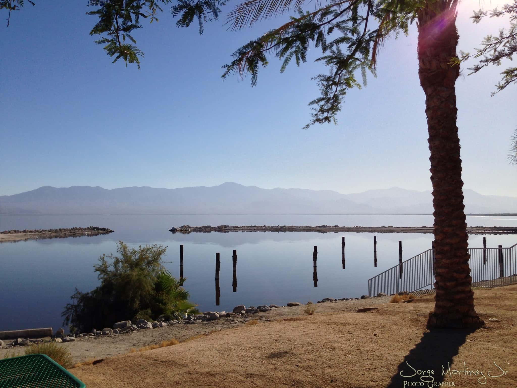
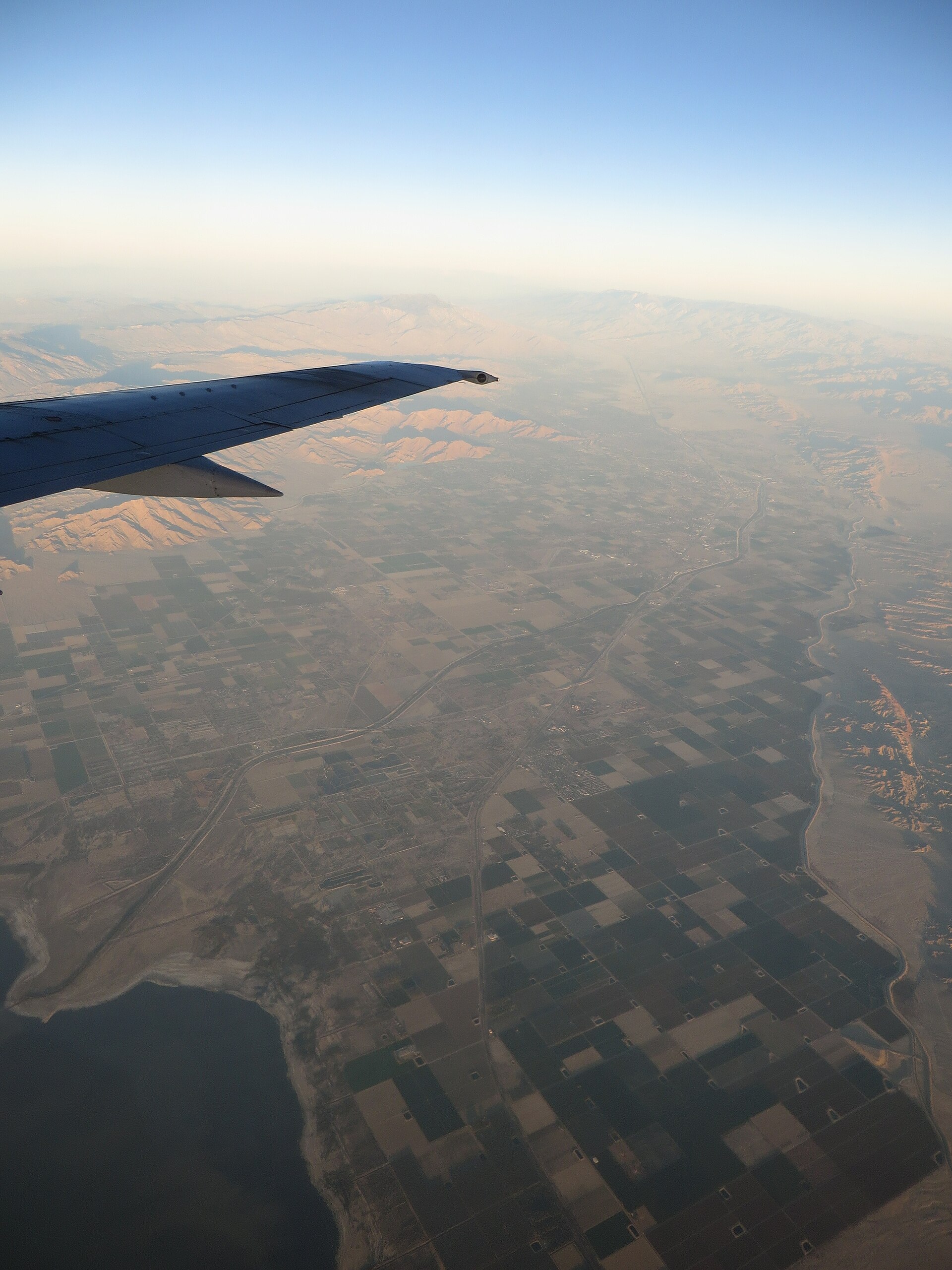
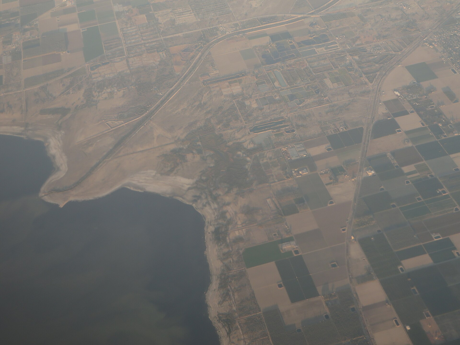
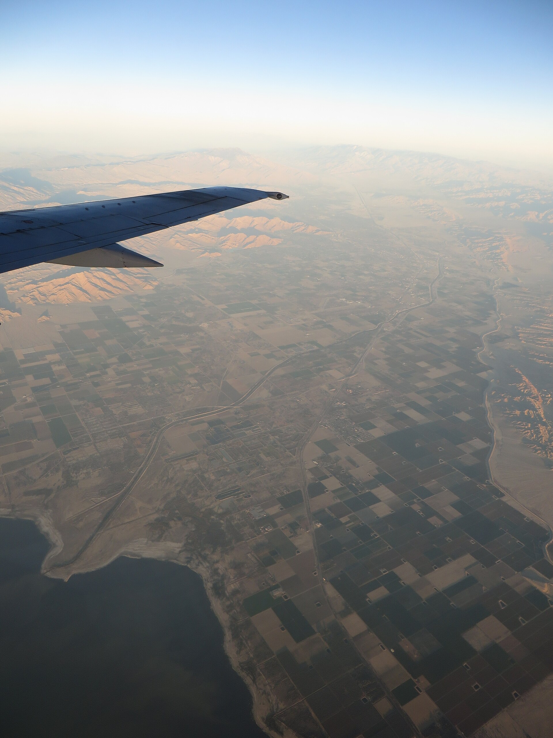
Salton Sea covers 202,162 acres in California, across 2 counties: Imperial and Riverside. It is a lake: 92% of it is 48 feet deep or less; the deepest point measured is at least 50.4 feet (15.4 m). Our records hold 8 species for this water.
Depth and bottom
Deepest measured point: at least 50.4 ft (15.4 m). That is the deepest contour line: the bottom goes deeper. 92% of the water is 48 feet or shallower. We hold 275 depth contour lines for this water.
- 0–3 ft: 0.3% of the water
- 3–6 ft: 0.2% of the water
- 6–9 ft: 0.4% of the water
- 9–12 ft: 0.9% of the water
- 12–15 ft: 2.9% of the water
- 15–18 ft: 5.7% of the water
- 18–21 ft: 5.4% of the water
- 21–24 ft: 4.4% of the water
- 24–27 ft: 4.4% of the water
- 27–30 ft: 4.8% of the water
- 30–33 ft: 5% of the water
- 33–36 ft: 5.9% of the water
- 36–39 ft: 7.3% of the water
- 39–42 ft: 10.2% of the water
- 42–45 ft: 17.6% of the water
- 45–48 ft: 16.6% of the water
- 48–50 ft: 8.2% of the water
3 target fish, led by Striped Bass
- Striped Bass — Feeding water: 60–75°F.
- Largemouth Bass — Feeding water: 65–85°F.
- Smallmouth Bass — Feeding water: 60–75°F.
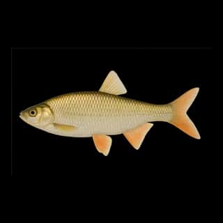
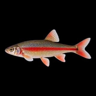
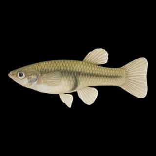
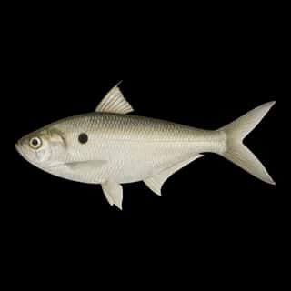
Also recorded here: Common Carp, Red Shiner, Golden Shiner, Threadfin Shad, Western Mosquitofish.
Water and conditions
pH averages 8. These readings span 2018–2024.
What is hard here
Wind is the limit, not the fish: 202,162 acres of open water build a short steep chop, and there is no shelter in the middle.
Where this data comes from
- U.S. Bureau of Reclamation (survey) — U.S. Bureau of Reclamation: depth contours: class A, a survey of the bottom.
- Webster, K.E., McCullough, I.M., Soranno, P.A. LAGOS-US DEPTH v1.0, EDI, doi:10.6073/pasta/64ddc4d04661d9aef4bd702dc5d8984f (CC BY 4.0); Cheruvelil et al. LAGOS-US LOCUS v1.0 (EDI) — LAGOS-US DEPTH v1.0: Lake depth for 17,675 lakes in the conterminous U.S.: class B, a depth figure measured and published by an agency, without a bottom map.