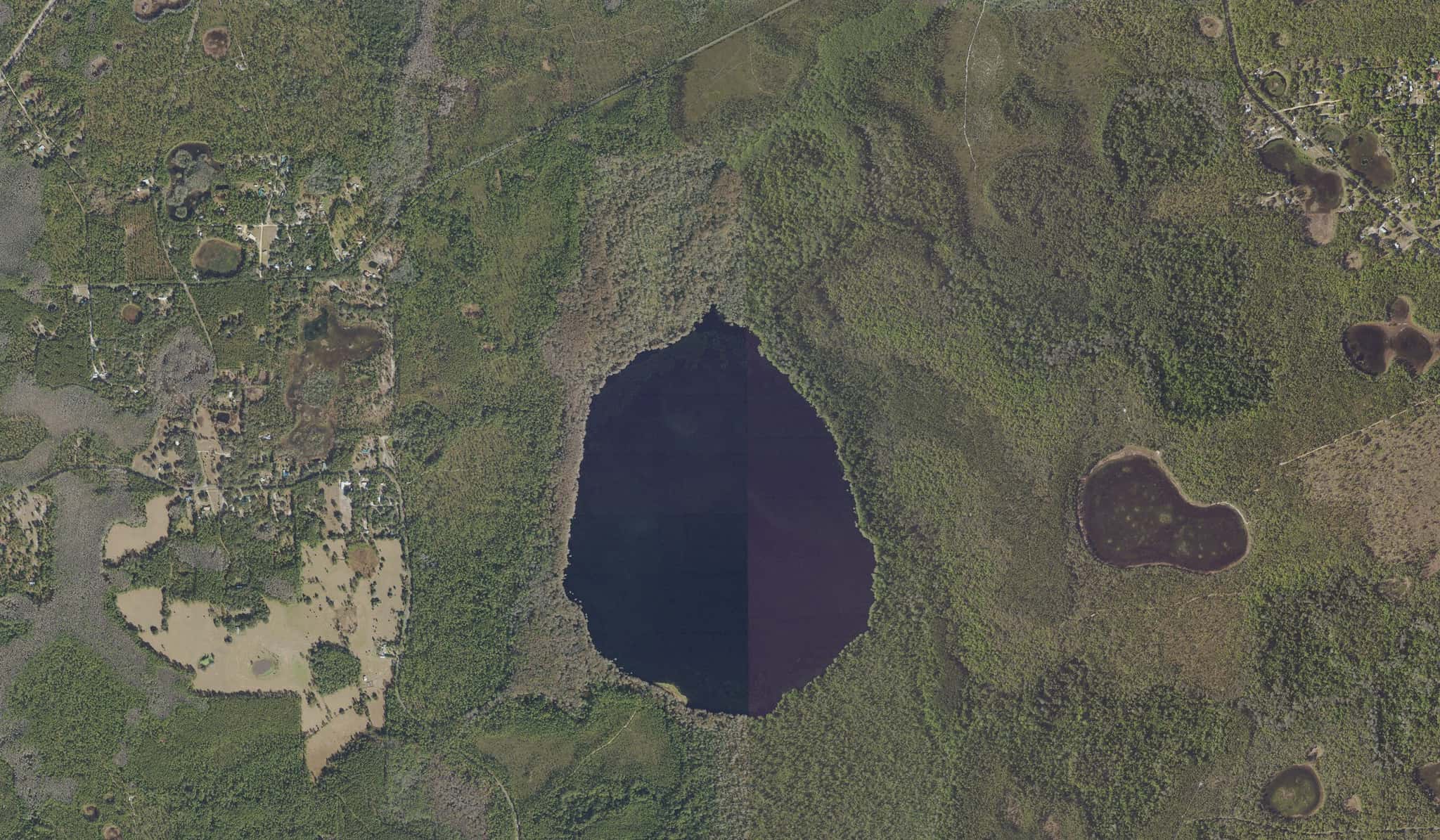
Lake Charles: depth, boat ramps and water quality
Boat: 1 ramp or launch on file for this water.
Start here: Launch at Ocala National Forest - Lake Charles Primitive Access, 1 lane, sand.
The lake
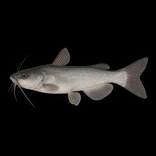
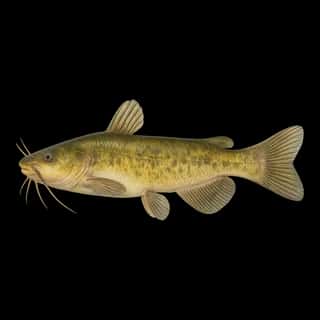
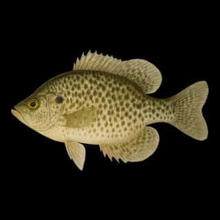
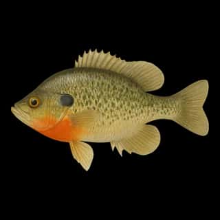
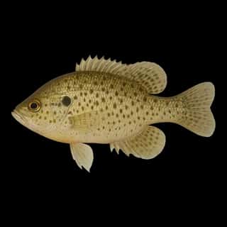
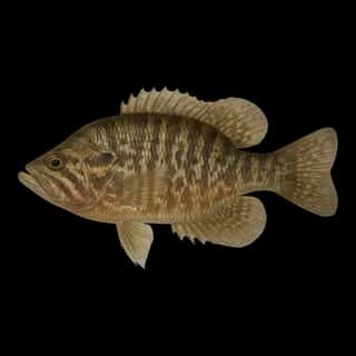
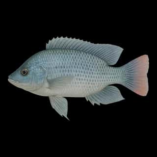
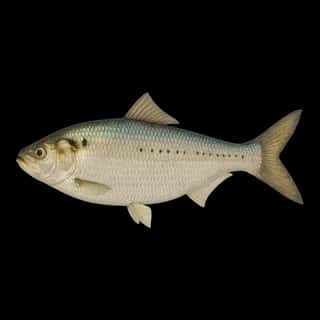
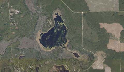
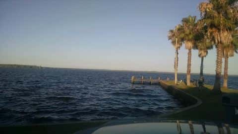
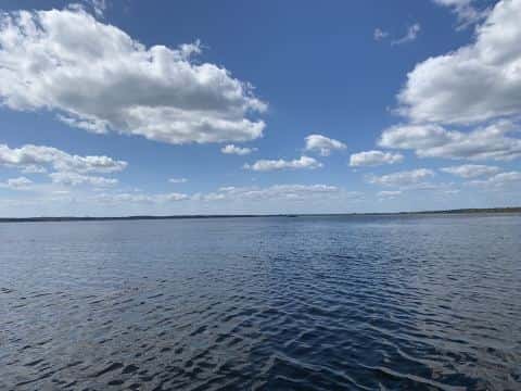
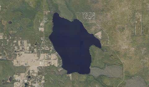
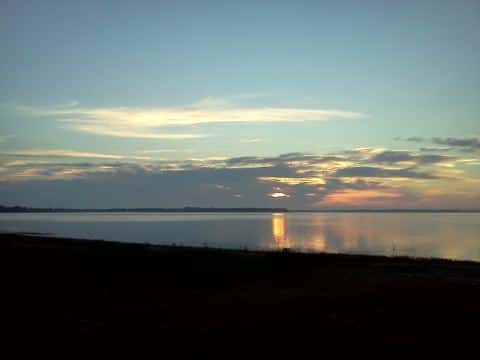
Lake Charles covers 360 acres in Florida, across Marion County. It is a lake: the deepest point measured is at least 6 feet (1.8 m). Our records hold 20 species for this water.
Depth and bottom
Deepest measured point: at least 6 ft (1.8 m). That is the deepest contour line: the bottom goes deeper. We hold 11 depth contour lines for this water.
- 0–1 ft: 14.3% of the water
- 1–2 ft: 5.5% of the water
- 2–3 ft: 9.1% of the water
- 3–4 ft: 12.6% of the water
- 4–5 ft: 20.5% of the water
- 5–6 ft: 38% of the water
Water and conditions
Water clarity runs 0.8–1.9 feet on our readings, averaging 1.2 feet, from 155 readings. Our water temperature readings average 77°F; they do not cover the whole year, so this is not a yearly average. pH averages 7.1. These readings span 2016–2025.
1 ramp or launch on this water
On this water we hold 1 trailer ramp.
- Ocala National Forest - Lake Charles Primitive Access — 1 lane, sand, parking for 4 trailers (soft unpaved), no fee. Silver Springs, United States Forest Service. dirt road off NE 145th Avenue Road, Silver Springs 34488 · website fs.usda.gov/recarea/florida/recarea/?recid=83528
Our ramp table for this water is not complete: there may be more.
What is hard here
Only 1 public ramp is on file, so the launch decides where you fish. Alligators live in Florida fresh water. Keep clear of the bank edge at dawn and dusk, and keep pets away from it.
Where this data comes from
- Florida DEP — Florida Department of Environmental Protection: depth contours: class A, a survey of the bottom.
- EPA NLA — EPA National Lakes Assessment: class B, a depth figure measured and published by an agency, without a bottom map.