Lake Yale: depth, boat ramps and water quality
Boat: 3 ramps and launches on file for this water.
Start here: Launch at Marsh Memorial Park & Boat Ramp, 2 lanes, concrete.
The lake
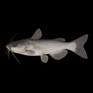
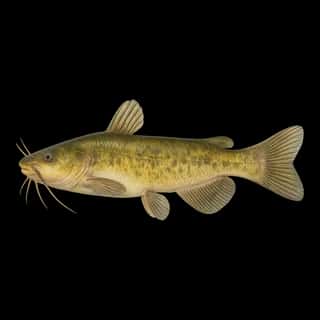
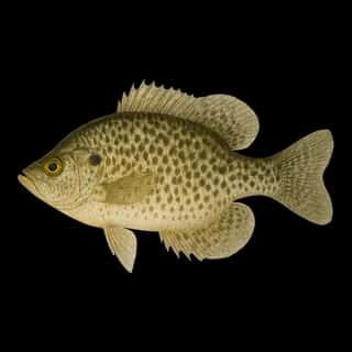
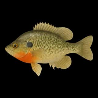
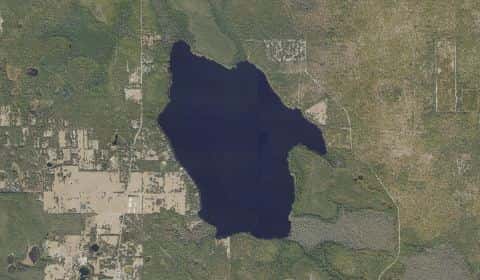
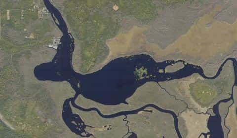
Lake Yale covers 4,041 acres in Florida, across Lake County. It is a lake: 94.4% of it is 18 feet deep or less; the deepest point measured is at least 26.4 feet (8.1 m). Our records hold 19 species for this water.
Depth and bottom
Deepest measured point: at least 26.4 ft (8.1 m). That is the deepest contour line: the bottom goes deeper. 94.4% of the water is 18 feet or shallower. We hold 39 depth contour lines for this water.
- 0–2 ft: 0.5% of the water
- 2–4 ft: 2.3% of the water
- 4–6 ft: 4.1% of the water
- 6–8 ft: 5.5% of the water
- 8–10 ft: 6.2% of the water
- 10–12 ft: 10.4% of the water
- 12–14 ft: 20.8% of the water
- 14–16 ft: 29.2% of the water
- 16–18 ft: 15.4% of the water
- 18–20 ft: 3% of the water
- 20–22 ft: 2% of the water
- 22–24 ft: 0.6% of the water
Water and conditions
Water clarity runs 1.3–8.3 feet on our readings, averaging 4.1 feet, from 251 readings. Water temperature averages 74°F across the year. The coldest single reading we hold is 32°F and the warmest is 89°F; the warmest monthly average is 84°F. pH averages 7.5. These readings span 2016–2025.
Monthly average water temperature: Jan 59°F · Feb 63°F · Mar 68°F · Apr 71°F · May 80°F · Jun 82°F · Jul 84°F · Aug 83°F · Sep 79°F · Oct 73°F · Nov 68°F · Dec 62°F
3 ramps and launches on this water
On this water we hold 3 trailer ramps.
- Marsh Memorial Park & Boat Ramp — 2 lanes, concrete, parking for 17 trailers (paved), no fee, open around the clock, dock, wheelchair access. Eustis, Lake County. 36545 Yale Retreat Road, Eustis 32726 · website lakecountyfl.gov/offices/parks_and_trails/boat_ramps.aspx
- Lake Yale Boat Ramp West — 1 lane, concrete, parking for 3 trailers (firm unpaved), no fee, open around the clock. Grand Island, Lake County. 39800 Thomas Boat Landing Drive, Grand Island 32735 · website lakecountyfl.gov/offices/parks_and_trails/boat_ramps.aspx
- Emeralda Marsh Landing (Primitive Boat Launch) — 1 lane, parking for 20 trailers (soft unpaved), no fee, daylight hours, needs repair. Leesburg, Saint Johns River Water Management District. 39338 County Road 452, Leesburg 34788
Our ramp table for this water is not complete: there may be more.
What is hard here
Clarity swings from 1.3 to 8.3 feet between our readings — the water you meet is not the water someone photographed. Winter water drops to 59°F, and the warm-water species stop feeding well before you do. Alligators live in Florida fresh water. Keep clear of the bank edge at dawn and dusk, and keep pets away from it. Summer water sits at 84°F: heat and afternoon lightning are the real risks, not the fishing.
Where this data comes from
- Florida FWC — FWC Florida lake bathymetry: class A, a survey of the bottom.
- SJRWMD — St. Johns River Water Management District: depth contours: class A, a survey of the bottom.
- EPA NLA — EPA National Lakes Assessment: class B, a depth figure measured and published by an agency, without a bottom map.