Lake Beresford: depth, boat ramps and water quality
Boat: 2 ramps and launches on file for this water.
Start here: Launch at Sunrise Fish Camp, 2 lanes, concrete.
The lake
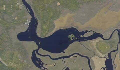
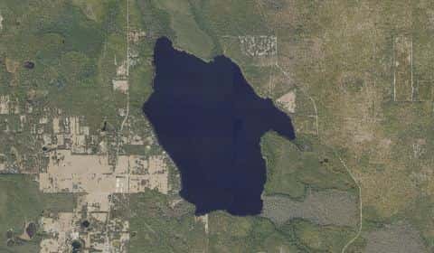
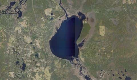
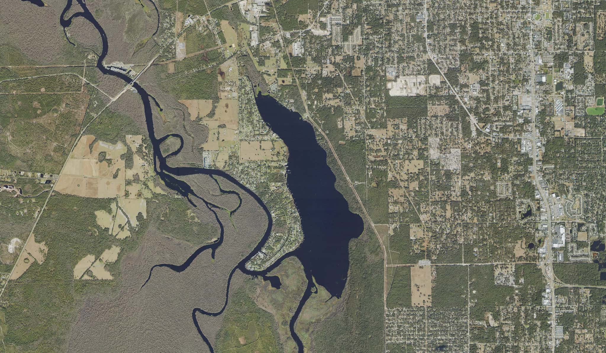
Lake Beresford covers 803 acres in Florida, across Volusia County. It is a lake: the deepest point measured is 16.4 feet (5 m). Our records hold 21 species for this water.
Depth: down to 16.4 ft at the deepest measured point
Deepest measured point: 16.4 ft (5 m). We hold 31 depth contours for this water, drawn from 124 soundings.
- 0–1 ft: 17.1% of the surveyed bottom
- 1–2 ft: 12.9% of the surveyed bottom
- 2–3 ft: 12.6% of the surveyed bottom
- 3–4 ft: 14% of the surveyed bottom
- 4–5 ft: 19.1% of the surveyed bottom
- 5–6 ft: 18.3% of the surveyed bottom
- 6–8 ft: 4% of the surveyed bottom
- 8–10 ft: 1.2% of the surveyed bottom
- 10–12 ft: 0.7% of the surveyed bottom
Water and conditions
Water clarity runs 1.6–3.1 feet on our readings, averaging 2.3 feet, from 97 readings. Water temperature averages 76°F across the year. The coldest single reading we hold is 54°F and the warmest is 92°F; the warmest monthly average is 87°F. pH averages 7.9. These readings span 2016–2025.
Monthly average water temperature: Jan 61°F · Feb 68°F · Mar 73°F · Apr 77°F · May 82°F · Jun 85°F · Jul 86°F · Aug 87°F · Sep 83°F · Oct 76°F · Nov 68°F · Dec 65°F
2 ramps and launches on this water
On this water we hold 1 trailer ramp and 1 hand launch.
- Sunrise Fish Camp — 2 lanes, concrete, parking for 12 trailers (soft unpaved), paid, dock. Deland. 1905 Hontoon Road, Deland 32720 · website nps.gov/cana/planyourvisit/basicinfo.htm
Car-top and kayak launches — no trailer
- Hontoon Island State Park - Mainland Kayak Access — hand launch, natural bank, parking for 5 trailers (soft unpaved), no fee, daylight hours. Deland, Florida Department of Environmental Protection. 2309 River Ridge Road, Deland 32720 · website floridastateparks.org/parks-and-trails/hontoon-island-state-park
Our ramp table for this water is not complete: there may be more.
What is hard here
Only 2 public ramps are on file, so the launch decides where you fish. Alligators live in Florida fresh water. Keep clear of the bank edge at dawn and dusk, and keep pets away from it. Summer water sits at 87°F: heat and afternoon lightning are the real risks, not the fishing.
Where this data comes from
- NOAA National Bathymetric Source (S-102 ed3.0.0) — NOAA S-102 bathymetric surfaces: contours: class A, a survey of the bottom.
- USACE eHydro — USACE eHydro channel surveys: class A, a survey of the bottom.
- NOAA BlueTopo: class A, a survey of the bottom.
- Florida DEP — Florida Department of Environmental Protection: depth contours: class A, a survey of the bottom.
- NOAA ENC — NOAA Electronic Navigational Charts: soundings: class A, a survey of the bottom.
- NOAA ENC — NOAA Electronic Navigational Charts: depth contours: class A, a survey of the bottom.