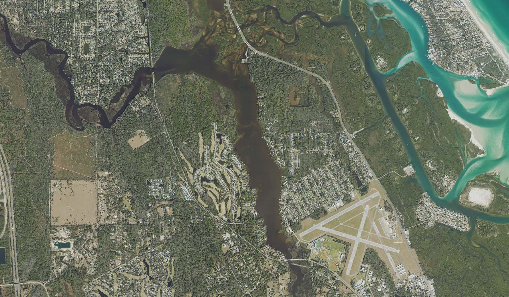
Turnbull Bay: depth, boat ramps and water quality
Boat: 2 ramps and launches on file for this water.
Start here: Launch at Spruce Creek and US 1 Primitive Access, 1 lane, gravel.
The estuary
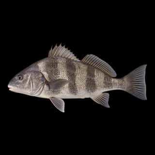
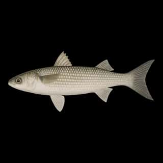
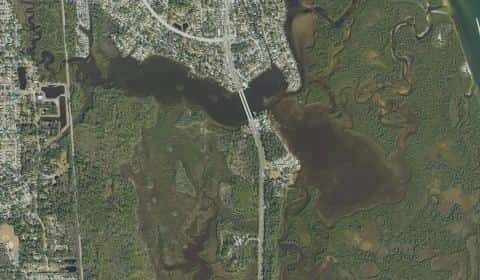
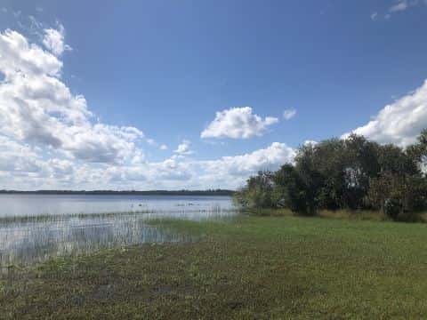
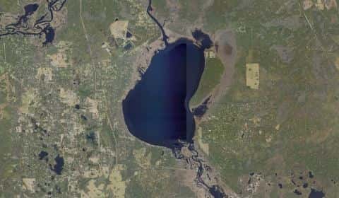
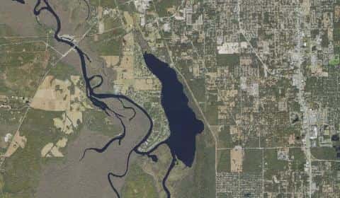
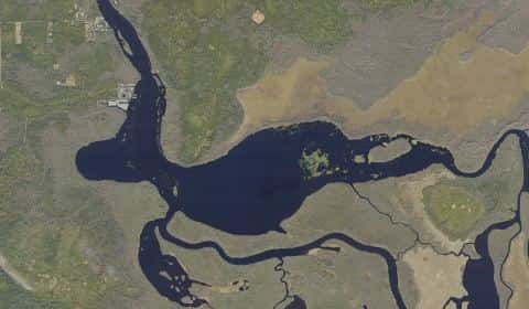
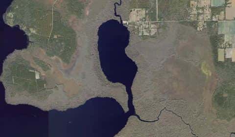
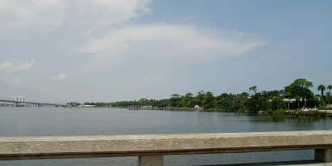
Turnbull Bay covers 376 acres in Florida, across Volusia County. It is an estuary: the deepest point measured is at least 4 feet (1.2 m). Our records hold 11 species for this water.
Depth and bottom
Deepest measured point: at least 4 ft (1.2 m). That is the deepest contour line: the bottom goes deeper. We hold 5 depth contours for this water, drawn from 7 soundings.
- 0–1 ft: 61% of the water
- 1–2 ft: 39% of the water
2 ramps and launches on this water
On this water we hold 1 trailer ramp, 1 hand launch and 1 fishing pier.
- Spruce Creek and US 1 Primitive Access — 1 lane, gravel, open around the clock. New Smyrna Beach. Across from 3460 Dixie Freeway, New Smyrna Beach 32168
Car-top and kayak launches — no trailer
- Doris Leeper Spruce Creek Preserve - Divito Access — hand launch, sand, parking for 2 trailers (soft unpaved), no fee, daylight hours. New Smyrna Beach, Volusia County. 90 Divito Drive, New Smyrna Beach 32168 · website volusia.org/services/community-services/resource-stewardship/land-management/conservation-lands-map/doris-leeper-spruce-creek-preserve.stml
Fishing piers
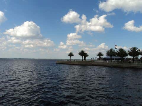
- Rocco Park — no fee, open 8am–5pm. New Smyrna Beach. 2490 Sunset Dr, New Smyrna Beach 32168
Only one of the 3 places listed has both a fee and opening hours on file: a blank means we hold no such field, not that it is free or always open, and this list may not be complete.
Water and conditions
Our water temperature readings average 76°F; they do not cover the whole year, so this is not a yearly average. pH averages 7.7. These readings span 2016–2022. The latest reading is from 2022, more than three years ago: read these numbers as history, not as the water today.
What is hard here
Only 2 public ramps are on file, so the launch decides where you fish. Stingrays lie on shallow sand and grass flats. Shuffle your feet through the shallows instead of stepping.
Where this data comes from
- NOAA BlueTopo: class A, a survey of the bottom.
- NOAA National Bathymetric Source (S-102 ed3.0.0) — NOAA S-102 bathymetric surfaces: contours: class A, a survey of the bottom.
- NOAA Digital Coast — NOAA Digital Coast bathymetric lidar: class A, a survey of the bottom, 2022.