Dead Lake: depth, boat ramps and water quality
Boat: 1 ramp or launch on file for this water.
Start here: Launch at Bull Creek Campround & Public Boat Ramp, 2 lanes, concrete.
The lake
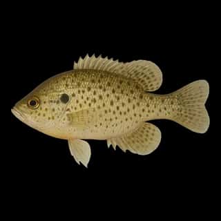
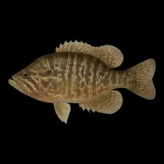
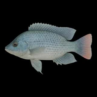
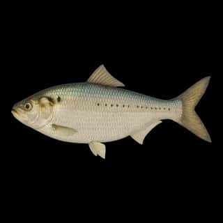
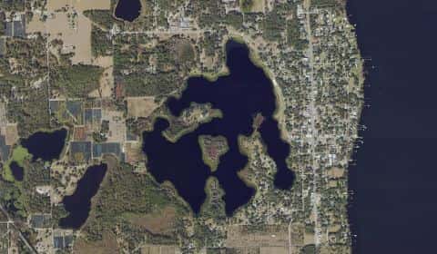
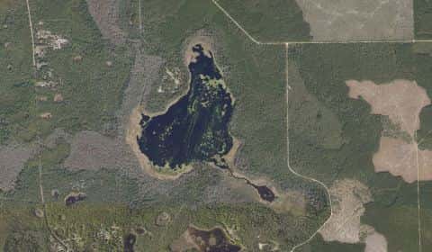
Dead Lake covers 377 acres in Florida, across Flagler County. It is a lake: 92.1% of it is 8 feet deep or less; the deepest point measured is at least 26 feet (7.9 m). Our records hold 20 species for this water.
Depth and bottom
Deepest measured point: at least 26 ft (7.9 m). That is the deepest contour line: the bottom goes deeper. 92.1% of the water is 8 feet or shallower. We hold 21 depth contours for this water, drawn from 15 soundings.
- 0–2 ft: 5.8% of the water
- 2–4 ft: 14.6% of the water
- 4–6 ft: 23.7% of the water
- 6–8 ft: 48% of the water
- 8–10 ft: 3.8% of the water
- 10–12 ft: 3.4% of the water
- 12–14 ft: 0.7% of the water
1 ramp or launch on this water
On this water we hold 1 trailer ramp.
- Bull Creek Campround & Public Boat Ramp — 2 lanes, concrete, parking for 14 trailers (soft unpaved), open around the clock, flush restrooms, dock. Bunnell, Flagler County. 3861 County Road 2006, Bunnell 32110 · website flaglercounty.gov/Home/Components/FacilityDirectory/FacilityDirectory/48/339
The place listed has no fee or opening hours on file: a blank means we hold no such field, not that it is free or always open, and this list may not be complete.
Water and conditions
Water clarity runs 0.8–2.3 feet on our readings, averaging 1.7 feet, from 9 readings. Our water temperature readings average 87°F; they do not cover the whole year, so this is not a yearly average. pH averages 7.5. These readings span 2020–2025.
What is hard here
With 92.1% of the water 8 feet or less, low level turns the flats into hazards. Only 1 public ramp is on file, so the launch decides where you fish. Alligators live in Florida fresh water. Keep clear of the bank edge at dawn and dusk, and keep pets away from it.
Where this data comes from
- NOAA BlueTopo: class A, a survey of the bottom.
- NOAA National Bathymetric Source (S-102 ed3.0.0) — NOAA S-102 bathymetric surfaces: contours: class A, a survey of the bottom.
- NOAA ENC — NOAA Electronic Navigational Charts: soundings: class A, a survey of the bottom.
- NOAA ENC — NOAA Electronic Navigational Charts: depth contours: class A, a survey of the bottom.