Crescent Lake: depth, boat ramps and water quality
Boat: 6 ramps and launches on file for this water.
Start here: Launch at Margary Neal Nelson Sunrise Park and Boat Ramp, 2 lanes, concrete.
The lake
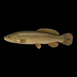
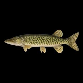
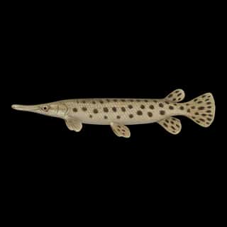
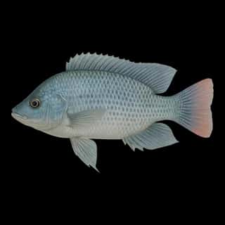
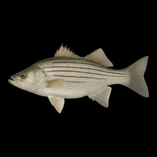
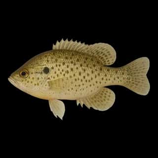
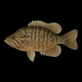
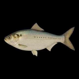
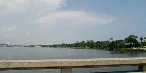
Crescent Lake covers 17,150 acres in Florida, across 2 counties: Putnam and Flagler. It is a lake: the deepest point measured is at least 22 feet (6.7 m). Our records hold 20 species for this water.
Depth and bottom
Deepest measured point: at least 22 ft (6.7 m). That is the deepest contour line: the bottom goes deeper. We hold 6 depth contours for this water, drawn from 707 soundings.
Water and conditions
Water clarity runs 1–2.3 feet on our readings, averaging 1.6 feet, from 408 readings. Water temperature averages 79°F across the year. The coldest single reading we hold is 54°F and the warmest is 91°F; the warmest monthly average is 87°F. pH averages 7.6. These readings span 2016–2025.
Monthly average water temperature: Jan 61°F · Feb 66°F · Mar 69°F · Apr 75°F · May 82°F · Jun 86°F · Jul 87°F · Aug 87°F · Sep 84°F · Oct 75°F · Nov 71°F · Dec 65°F
6 ramps and launches on this water
On this water we hold 6 trailer ramps and 3 fishing piers.
- Crescent Lake Public Boat Ramp — 1 lane, concrete, parking for 9 trailers (paved), no fee, open around the clock, portable restrooms, dock. Crescent City, Putnam County. 1 Central Avenue, Crescent City 32112
- Bull Creek Campround & Public Boat Ramp — 2 lanes, concrete, parking for 14 trailers (soft unpaved), open around the clock, flush restrooms, dock. Bunnell, Flagler County. 3861 County Road 2006, Bunnell 32110 · website flaglercounty.gov/Home/Components/FacilityDirectory/FacilityDirectory/48/339
- Margary Neal Nelson Sunrise Park and Boat Ramp — 2 lanes, concrete, parking for 24 trailers (firm unpaved), no fee, open around the clock, flush restrooms, dock. Crescent City, Crescent City. 105 Cypress Avenue, Crescent City 32112 · phone (386) 329-1268 · website crescentcity-fl.com/parks-recreation
- Leonard's Landing Lake Crescent Resort — 1 lane, marina, concrete, parking for 4 trailers (soft unpaved), paid, open around the clock, dock. Crescent City. 100 Grove Avenue, Crescent City 32112 · phone 386) 698-2485 · website outdooradventureretreats.com/crescent-fish-camp
- Lake Stella Public Boat Ramp — 1 lane, concrete, parking for 3 trailers (paved), no fee, open around the clock, dock. Crescent City, Putnam County. 519 Central Avenue, Crescent City 32112
- Shell Bluff Public Boat Ramp — 1 lane, concrete, parking for 3 trailers (soft unpaved), no fee, dock. Bunnell, Flagler County. 14331 West State Road 100, Bunnell 32110 · website flaglercounty.gov/Home/Components/FacilityDirectory/FacilityDirectory/52/339
Fishing piers
- Bicentennial Park — no fee, daylight hours. Crescent City, Florida Fish and Wildlife Conservation Commission. 700 Central Ave., Crescent City 32112
- Crescent Lake — no fee, lit for night fishing, restrooms, drinking water, monofilament recycling bin, wheelchair access. Crescent Lake, Putnam County. Central Ave, Crescent Lake
- Fletcher Park — no fee, daylight hours. Crescent City, City of Crescent City. 1124 US-17, Crescent City 32112
5 of the 9 places listed have both a fee and opening hours on file: a blank means we hold no such field, not that it is free or always open, and this list may not be complete.
What is hard here
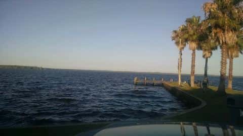
Wind is the limit, not the fish: 17,150 acres of open water build a short steep chop, and there is no shelter in the middle. Alligators live in Florida fresh water. Keep clear of the bank edge at dawn and dusk, and keep pets away from it. Summer water sits at 87°F: heat and afternoon lightning are the real risks, not the fishing.
Where this data comes from
- NOAA ENC — NOAA Electronic Navigational Charts: soundings: class A, a survey of the bottom.
- USACE eHydro — USACE eHydro channel surveys: class A, a survey of the bottom.
- NOAA National Bathymetric Source (S-102 ed3.0.0) — NOAA S-102 bathymetric surfaces: contours: class A, a survey of the bottom.
- NOAA BlueTopo: class A, a survey of the bottom.
- NOAA ENC — NOAA Electronic Navigational Charts: depth contours: class A, a survey of the bottom.
- EPA NLA — EPA National Lakes Assessment: class B, a depth figure measured and published by an agency, without a bottom map.
- Webster, K.E., McCullough, I.M., Soranno, P.A. LAGOS-US DEPTH v1.0, EDI, doi:10.6073/pasta/64ddc4d04661d9aef4bd702dc5d8984f (CC BY 4.0); Cheruvelil et al. LAGOS-US LOCUS v1.0 (EDI) — LAGOS-US DEPTH v1.0: Lake depth for 17,675 lakes in the conterminous U.S.: class B, a depth figure measured and published by an agency, without a bottom map.