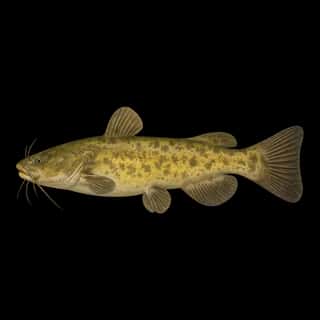
Lake Dardanelle fishing: Striped Bass, Walleye, Blue Catfish
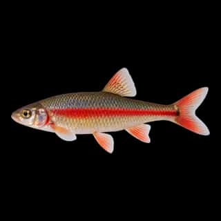
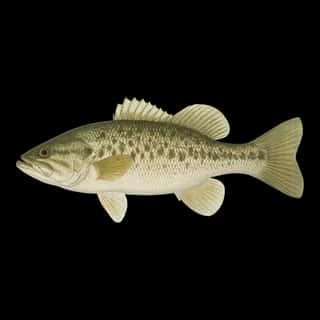
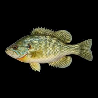
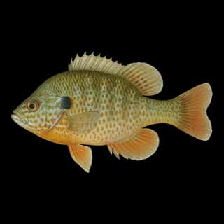
Target species: Striped Bass, Walleye, Blue Catfish, Flathead Catfish, Golden Redhorse, Spotted Bass, Bluegill
Boat: 7 ramps and launches on file for this water.
Start here: Launch at Mill Creek Ramp.
The reservoir
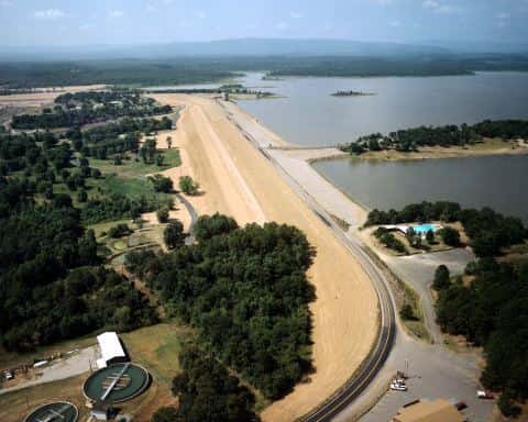
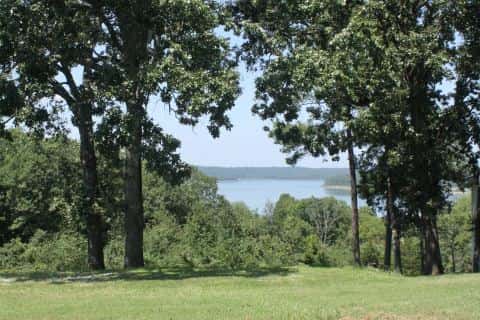
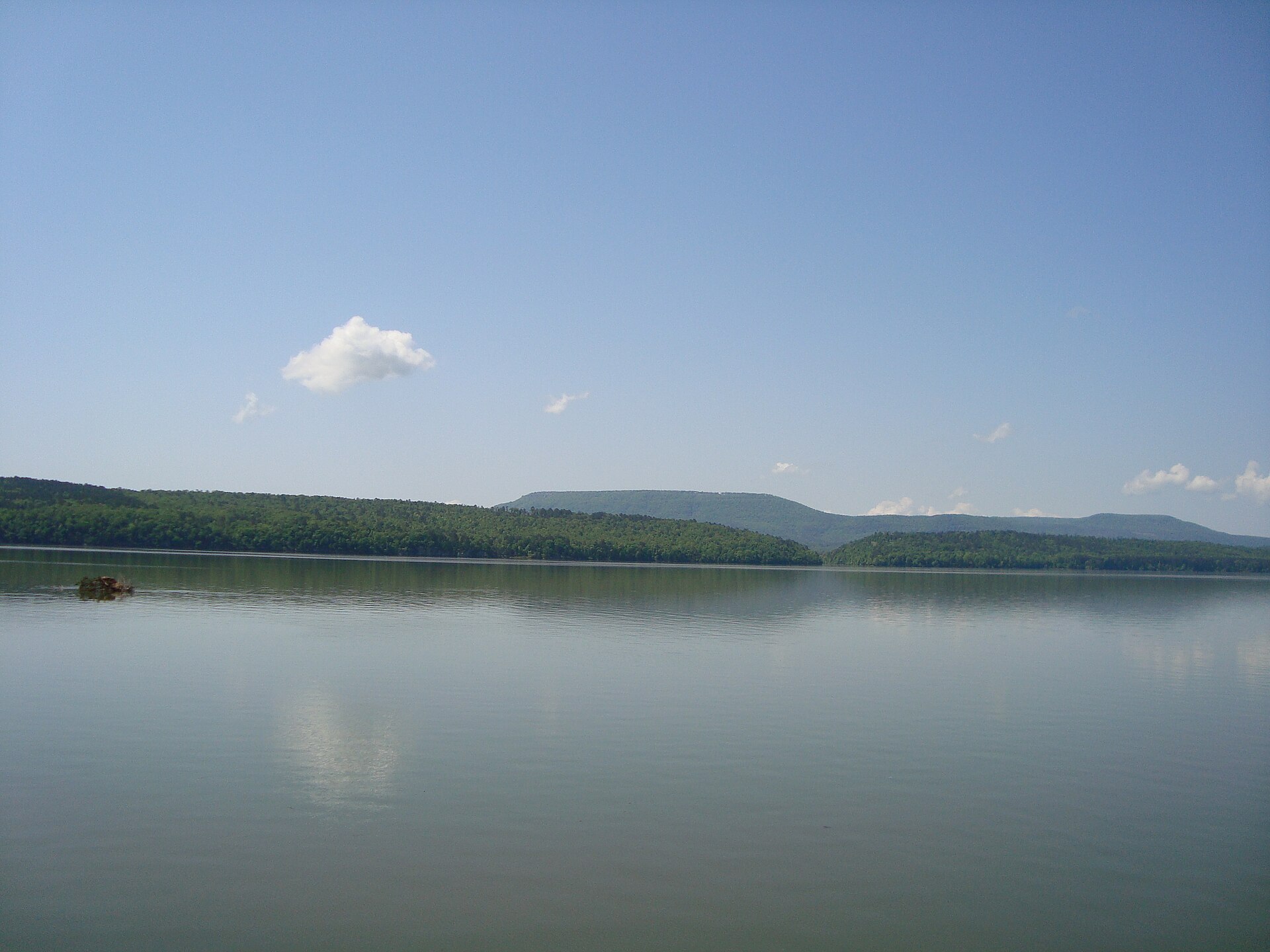
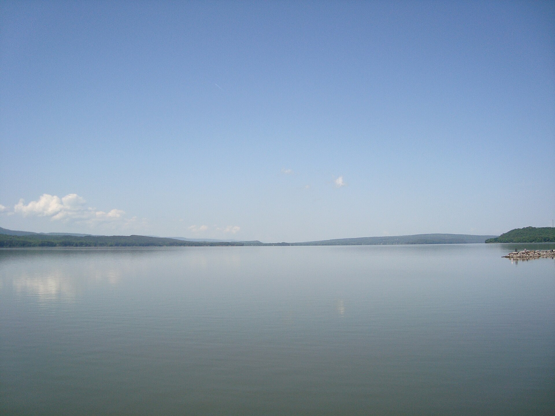
Lake Dardanelle covers 31,258 acres in Arkansas, across 5 counties: Johnson, Logan, Pope, Franklin and Yell. It is a reservoir: the deepest figure on record is 55 feet (16.8 m), as published by Webster, K.E., McCullough, I.M., Soranno, P.A. LAGOS-US DEPTH v1.0, EDI, doi:10.6073/pasta/64ddc4d04661d9aef4bd702dc5d8984f (CC BY 4.0); Cheruvelil et al. LAGOS-US LOCUS v1.0 (EDI), a figure without a map of the bottom. Our records hold 29 species for this water.
7 target fish, led by Striped Bass
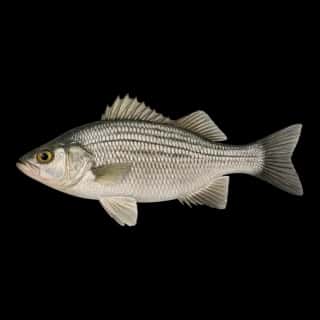
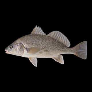
- Striped Bass — Feeding water: 60–75°F.
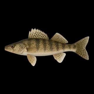
- Walleye — Feeding water: 50–75°F.
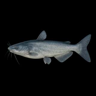
- Blue Catfish — Feeding water: 70–85°F.
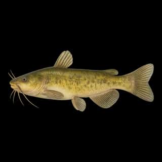
- Flathead Catfish — Feeding water: 70–85°F.
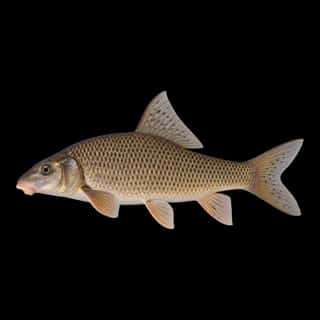
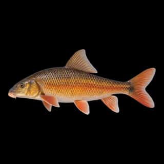
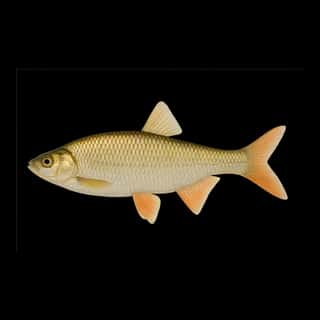
- Golden Redhorse — Feeding water: 60–75°F.
- Spotted Bass — Feeding water: 65–80°F.
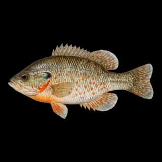
- Bluegill — Feeding water: 70–85°F.
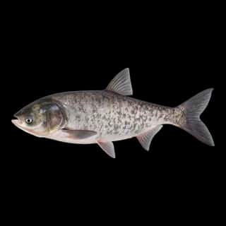
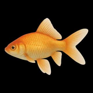
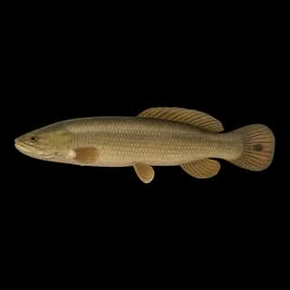
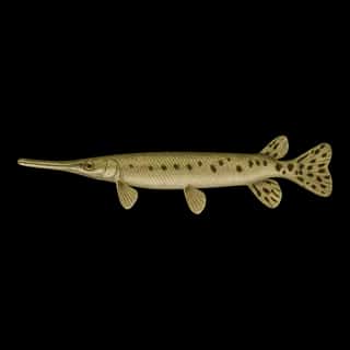
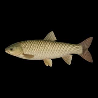
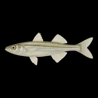
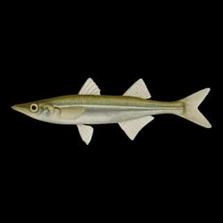
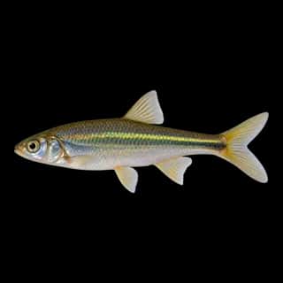
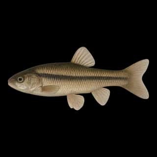
Also recorded here: Green Sunfish, Channel Catfish, Freshwater Drum, River Carpsucker, Sauger, Rock Bass, Longear Sunfish, Orangespotted Sunfish, Bowfin, Bighead Carp, Longnose Gar, Yellow Bullhead, Common Carp, Grass Carp, Red Shiner, Emerald Shiner, Golden Shiner, Brook Silverside, Goldfish, Fathead Minnow.
Water and conditions
Our water temperature readings average 67°F; they do not cover the whole year, so this is not a yearly average. pH averages 7.7. These readings span 2018–2026.
Depth and bottom
Deepest figure on record: 55 ft (16.8 m), as published by Webster, K.E., McCullough, I.M., Soranno, P.A. LAGOS-US DEPTH v1.0, EDI, doi:10.6073/pasta/64ddc4d04661d9aef4bd702dc5d8984f (CC BY 4.0); Cheruvelil et al. LAGOS-US LOCUS v1.0 (EDI). We hold no survey map of this bottom, so we show no depth bands. We hold 39 depth contours for this water, drawn from 1,632 soundings.
7 ramps and launches on this water
On this water we hold 7 boat ramps.
- Mill Creek Ramp — London.
- Ouita Boat Ramp — Russellville.
- Piney/Hwy 64 Boat Ramp — Knoxville.
- Shiloh Park Boat Ramp — Russellville.
- Spadra East Boat Ramp — Clarksville.
- Spadra West Boat Ramp — Clarksville.
- Tire Pit Ramp — Russellville.
Fee and opening hours are blank for all 7 places in this list: a blank means we hold no such field, not that it is free or always open, and this list may not be complete.
What is hard here
Wind is the limit, not the fish: 31,258 acres of open water build a short steep chop, and there is no shelter in the middle.
Where this data comes from
- USACE eHydro — USACE eHydro channel surveys: class A, a survey of the bottom.
- USGS RESSED — USGS RESSED reservoir sedimentation database: class B, a depth figure measured and published by an agency, without a bottom map.
- Webster, K.E., McCullough, I.M., Soranno, P.A. LAGOS-US DEPTH v1.0, EDI, doi:10.6073/pasta/64ddc4d04661d9aef4bd702dc5d8984f (CC BY 4.0); Cheruvelil et al. LAGOS-US LOCUS v1.0 (EDI) — LAGOS-US DEPTH v1.0: Lake depth for 17,675 lakes in the conterminous U.S.: class B, a depth figure measured and published by an agency, without a bottom map.