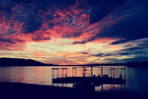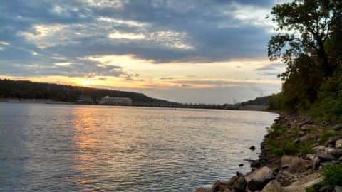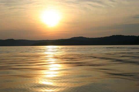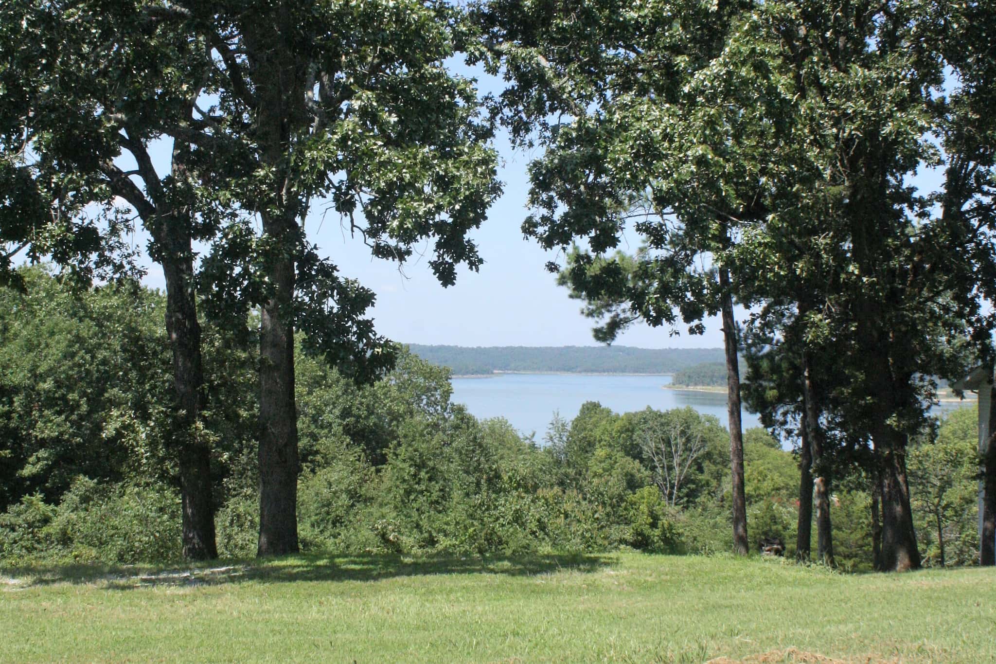
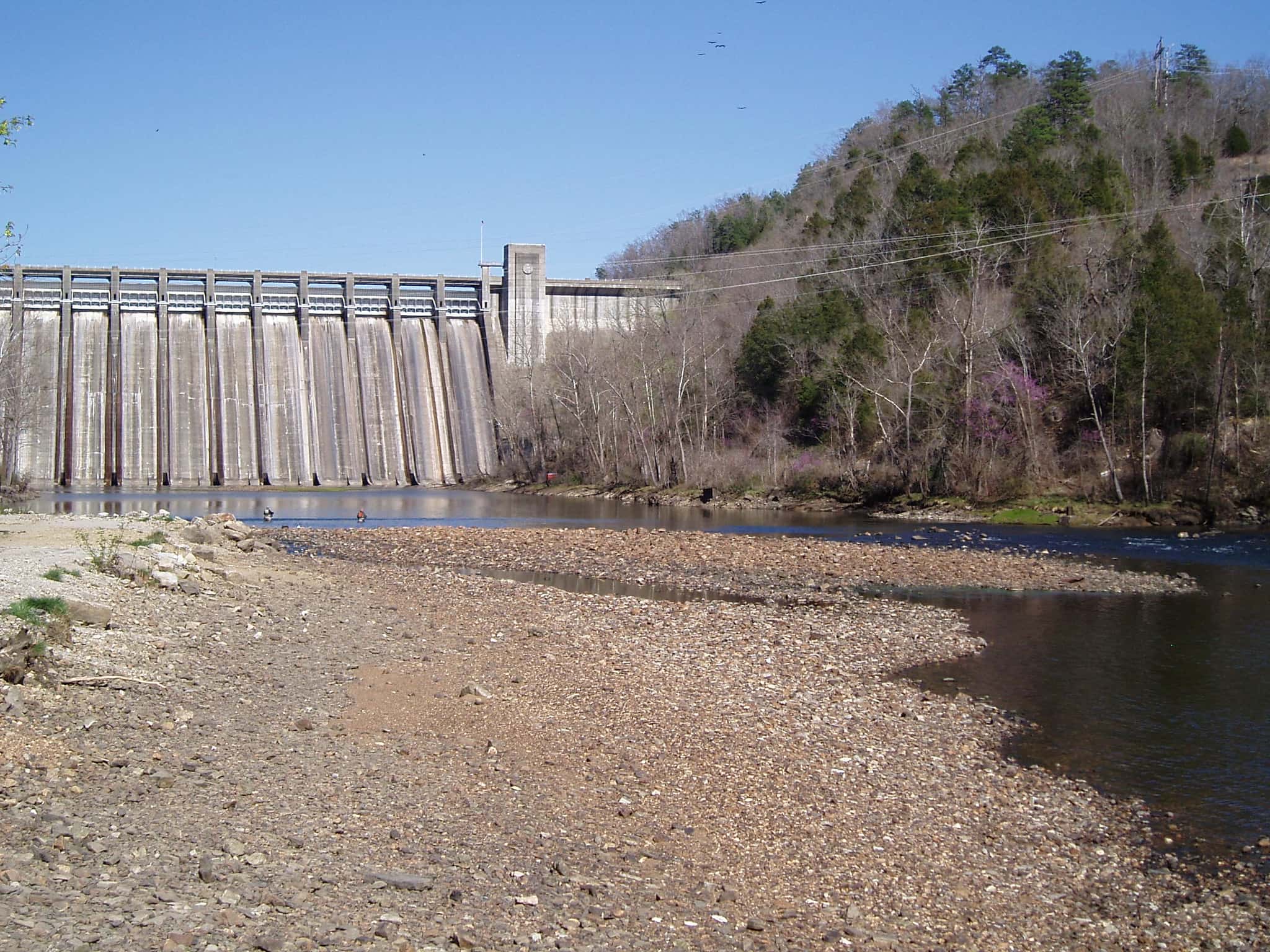
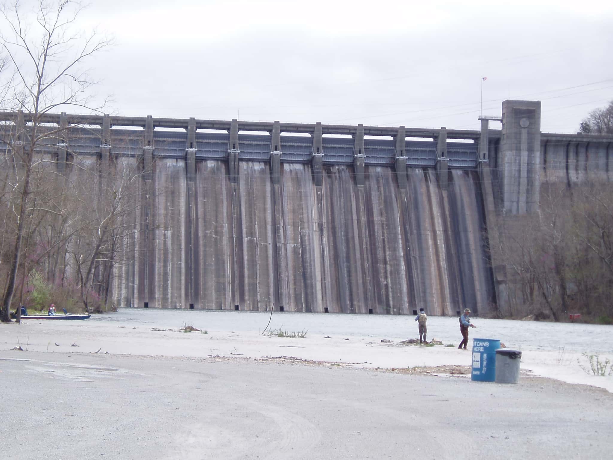
Norfork Lake fishing: Walleye, Muskellunge, Striped Bass
Target species: Walleye, Muskellunge, Striped Bass, Northern Pike, Rainbow Trout, Spotted Bass, White Bass
Boat: 1 ramp or launch on file for this water.
Start here: Launch at Cranfield Marina.
The reservoir
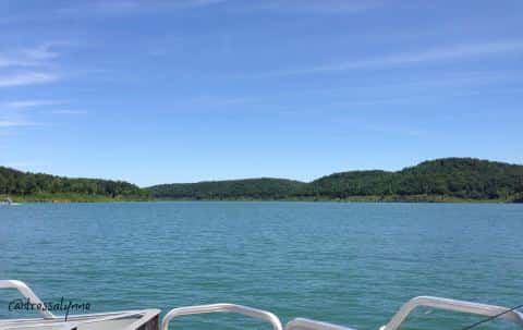
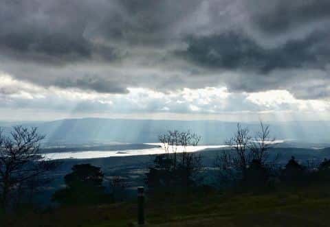
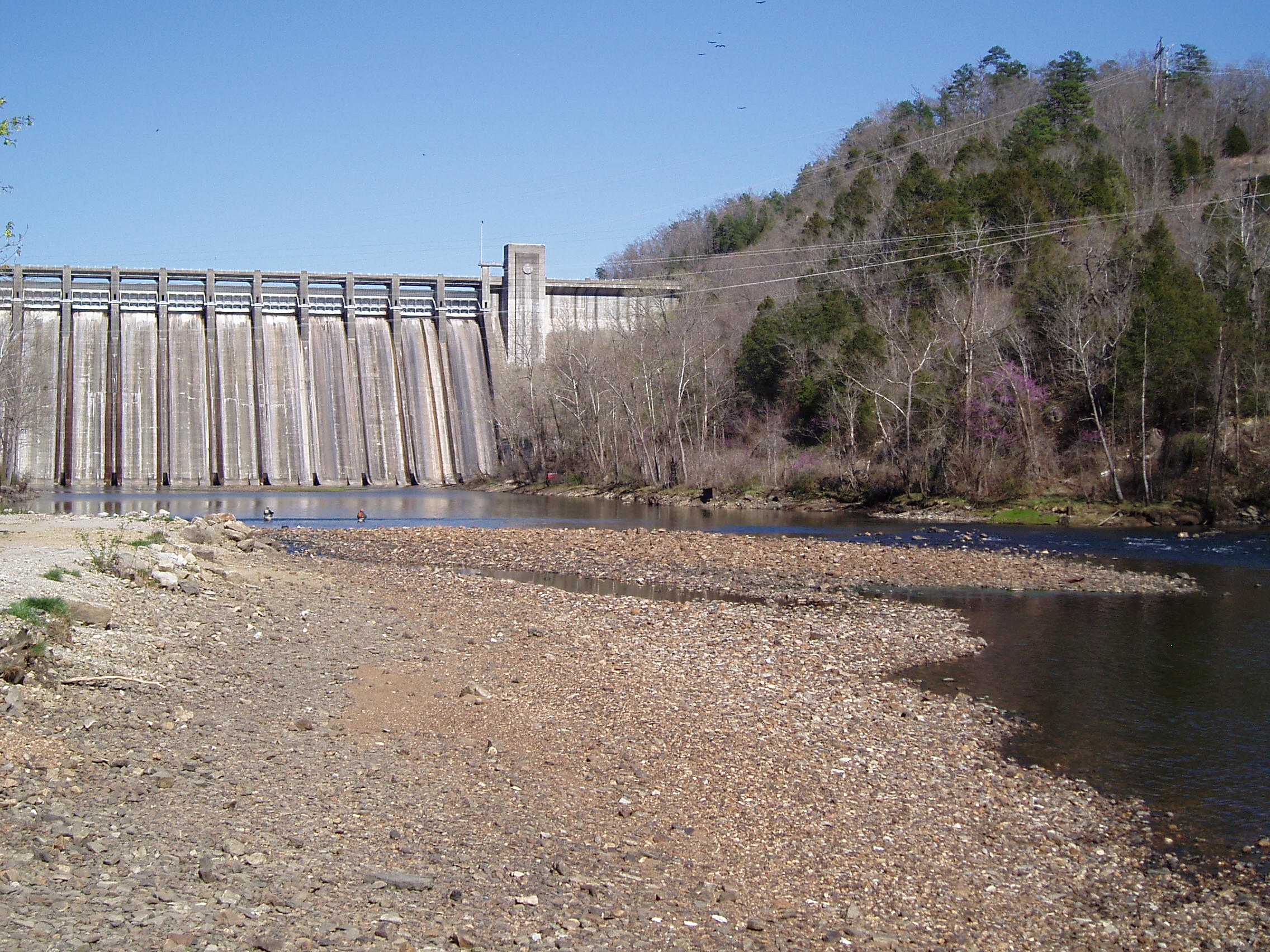
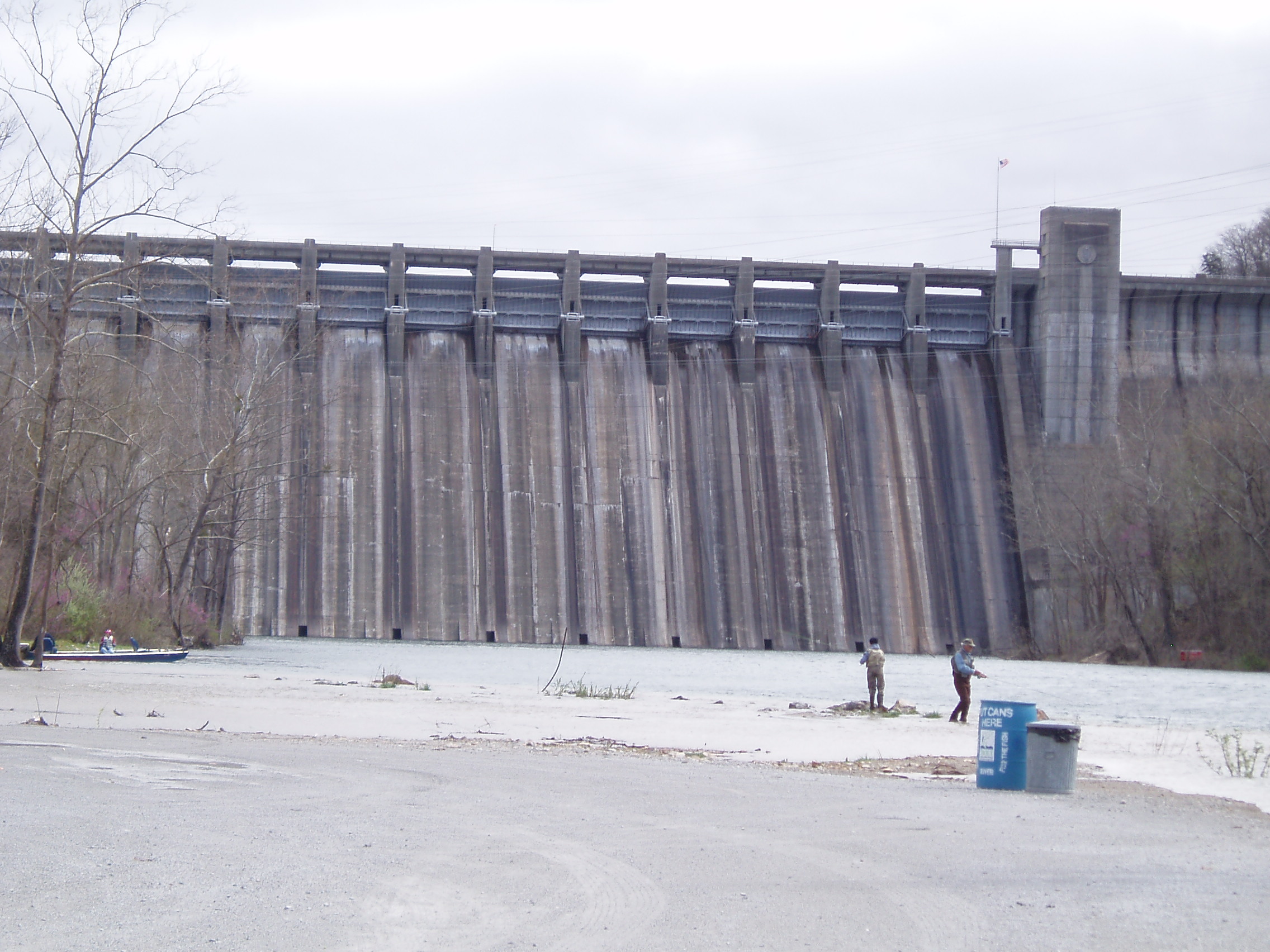
Norfork Lake covers 22,096 acres in Arkansas, across 2 counties: Baxter and Fulton. It is a reservoir: 92% of it is 120 feet deep or less; the deepest point measured is ≈181 feet (55.3 m). Our records hold 11 species for this water. 5% of the water lies in Missouri.
Depth and bottom
Deepest measured point: ≈181 ft (55.3 m). 92% of the water is 120 feet or shallower. We hold 650 depth contours for this water, drawn from 3,333,912 soundings.
- 0–10 ft: 11.3% of the water
- 10–20 ft: 13.1% of the water
- 20–30 ft: 11% of the water
- 30–40 ft: 9.8% of the water
- 40–50 ft: 8.6% of the water
- 50–60 ft: 8% of the water
- 60–70 ft: 6.9% of the water
- 70–80 ft: 6% of the water
- 80–90 ft: 5.2% of the water
- 90–100 ft: 4.5% of the water
- 100–110 ft: 4% of the water
- 110–120 ft: 3.6% of the water
- 120–130 ft: 2.5% of the water
- 130–140 ft: 2.1% of the water
- 140–150 ft: 1.8% of the water
- 150–160 ft: 1.1% of the water
- 160–170 ft: 0.5% of the water
- 170–175 ft: 0.1% of the water
7 target fish, led by Walleye
- Walleye — Feeding water: 50–75°F.
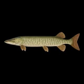
- Muskellunge — Feeding water: 65–75°F.
- Striped Bass — Feeding water: 60–75°F.
- Northern Pike — Feeding water: 50–75°F.
- Rainbow Trout — Feeding water: 50–65°F.
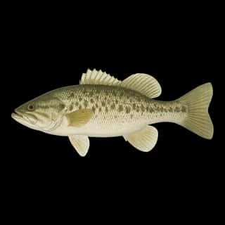
- Spotted Bass — Feeding water: 65–80°F.
- White Bass — Feeding water: 65–75°F.
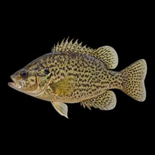
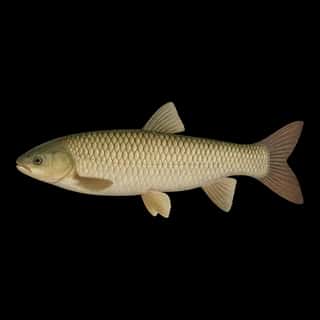
Also recorded here: Redear, Rock Bass, Common Carp, Grass Carp.
Water and conditions
Our water temperature readings average 70°F; they do not cover the whole year, so this is not a yearly average. The coldest single reading we hold is 50°F and the warmest is 94°F; the warmest monthly average is 76°F. pH averages 8.7. These readings span 2016–2026.
1 ramp or launch on this water
On this water we hold 1 boat ramp.
- Cranfield Marina — Mountain Home. 2028 Cranfield Place, Mountain Home 72653
The place listed has no fee or opening hours on file: a blank means we hold no such field, not that it is free or always open, and this list may not be complete.
What is hard here
Wind is the limit, not the fish: 22,096 acres of open water build a short steep chop, and there is no shelter in the middle. Only 1 public ramp is on file, so the launch decides where you fish. Winter water drops to 54°F, and the warm-water species stop feeding well before you do.
Where this data comes from
- USGS — USGS reservoir bathymetric surveys (ScienceBase): class A, a survey of the bottom, 2008.
- USGS RESSED — USGS RESSED reservoir sedimentation database: class B, a depth figure measured and published by an agency, without a bottom map.
- USACE CWMS — USACE CWMS elevation-area curves: class B, a depth figure measured and published by an agency, without a bottom map.
- Webster, K.E., McCullough, I.M., Soranno, P.A. LAGOS-US DEPTH v1.0, EDI, doi:10.6073/pasta/64ddc4d04661d9aef4bd702dc5d8984f (CC BY 4.0); Cheruvelil et al. LAGOS-US LOCUS v1.0 (EDI) — LAGOS-US DEPTH v1.0: Lake depth for 17,675 lakes in the conterminous U.S.: class B, a depth figure measured and published by an agency, without a bottom map.
Part of these depths rest on an averaged water level, so they are approximate (≈).