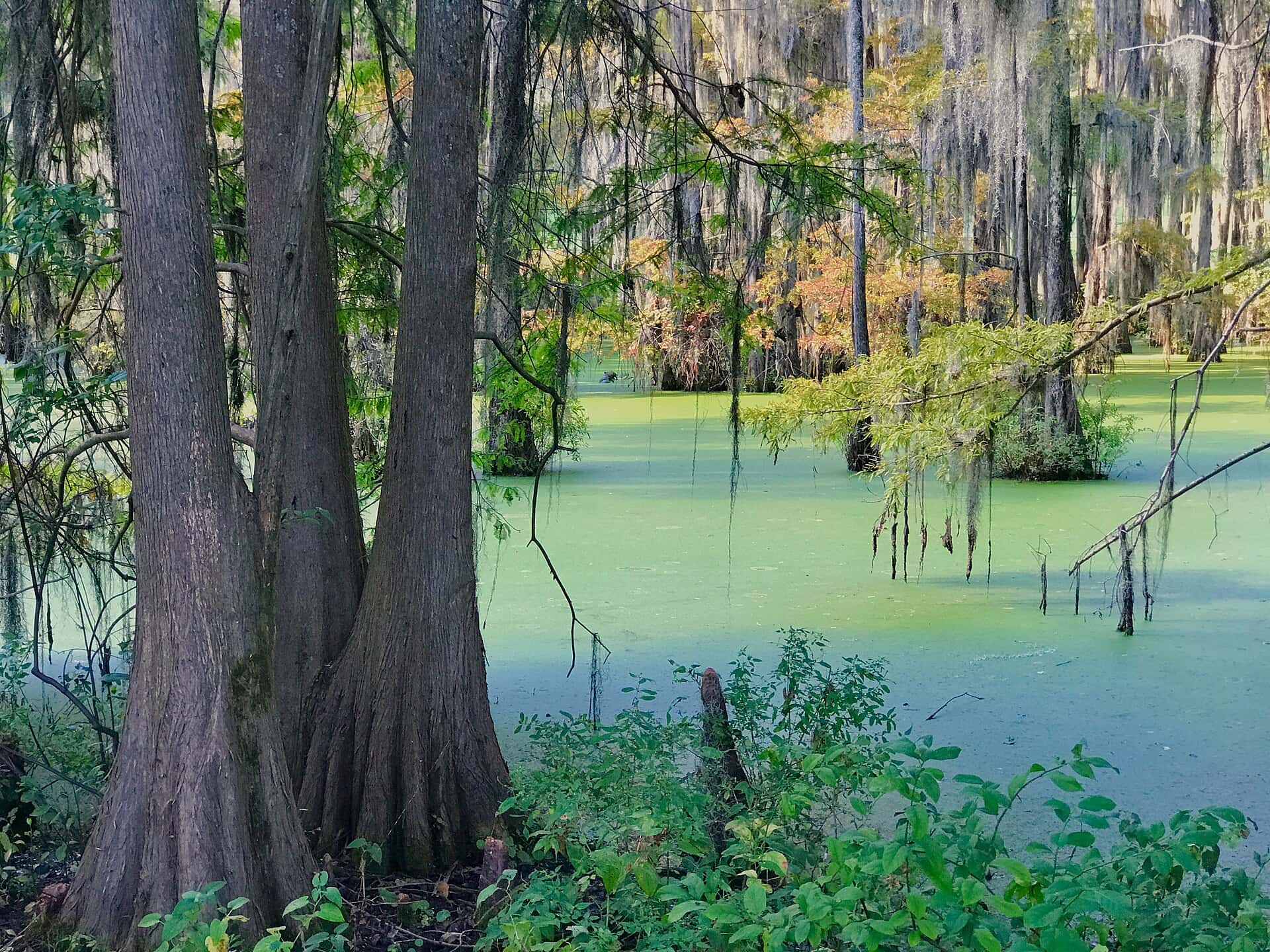
R E 'Bob' Woodruff Reservoir fishing: Striped Bass, Largemouth Bass, Blue Catfish
Target species: Striped Bass, Largemouth Bass, Blue Catfish, Blacktail Redhorse, Spotted Bass, White Bass, Black Crappie
Best months: Oct, Nov, Apr for Striped Bass
Second window: Apr, May, Jun, Oct for Largemouth Bass
The reservoir
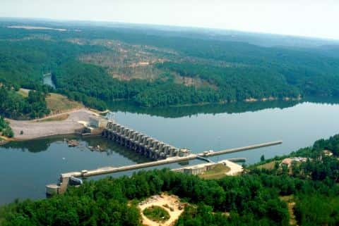
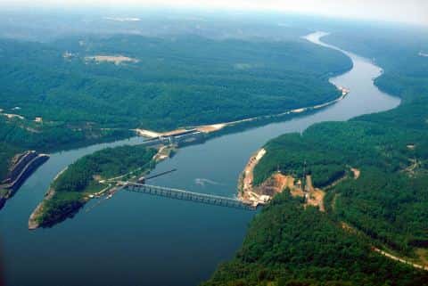
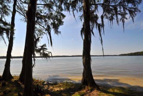
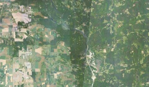
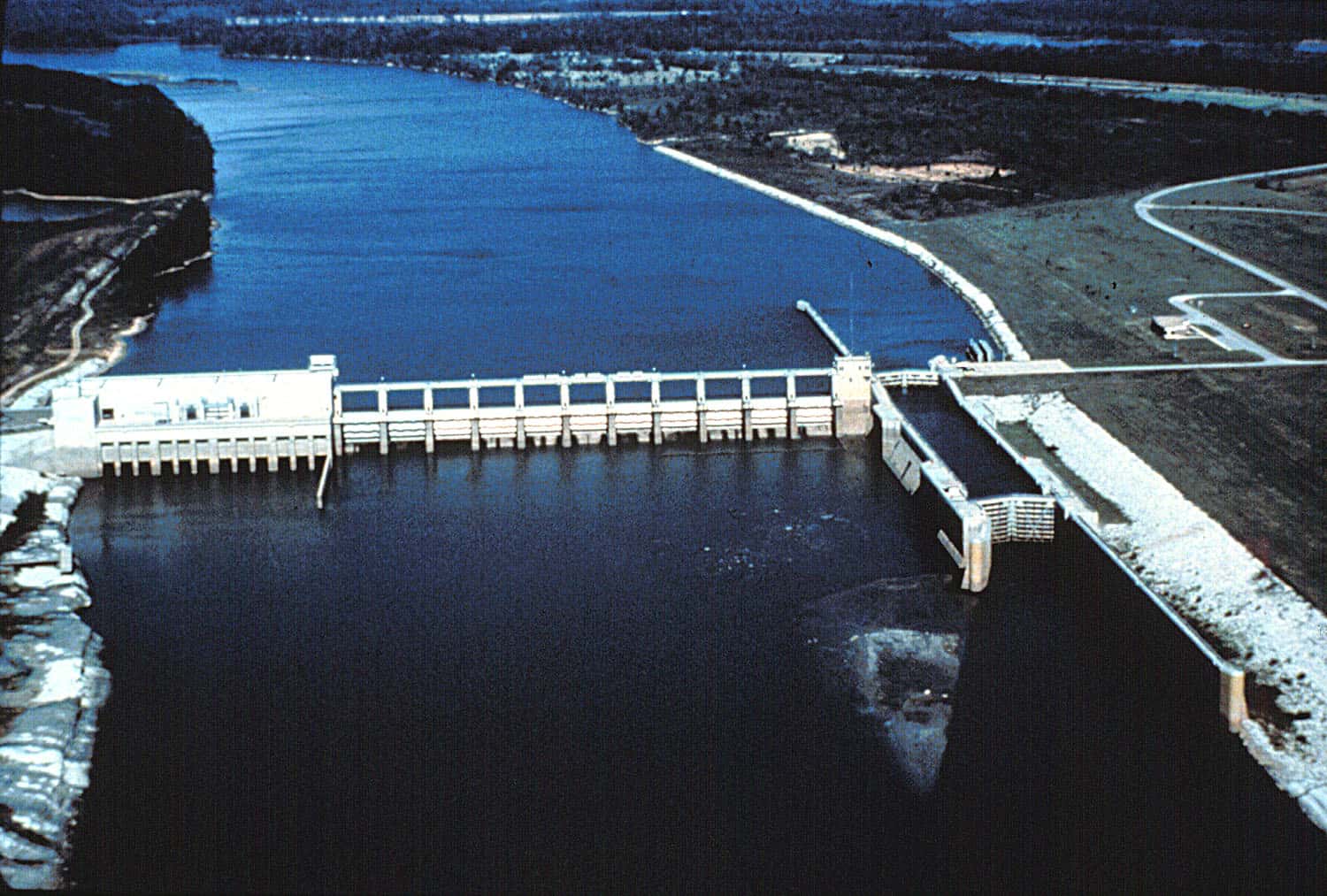
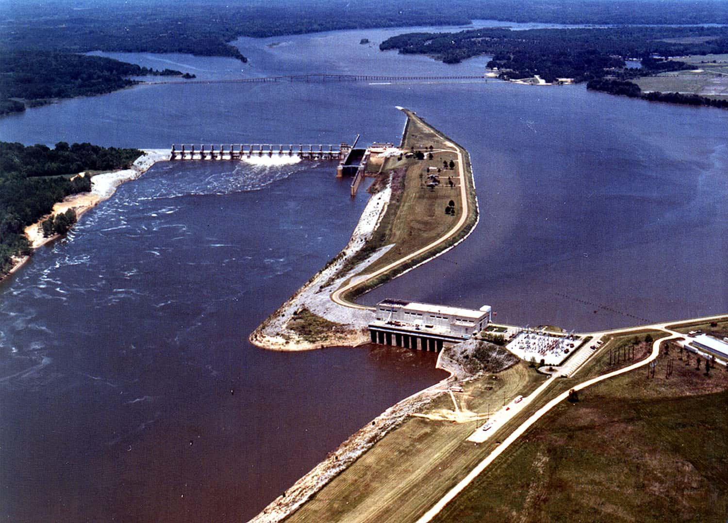
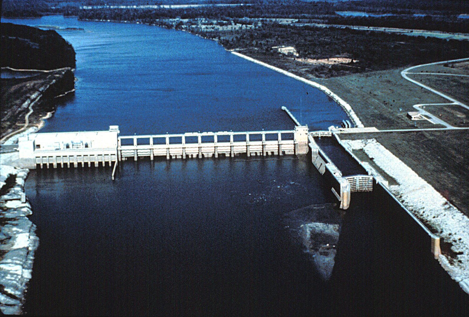
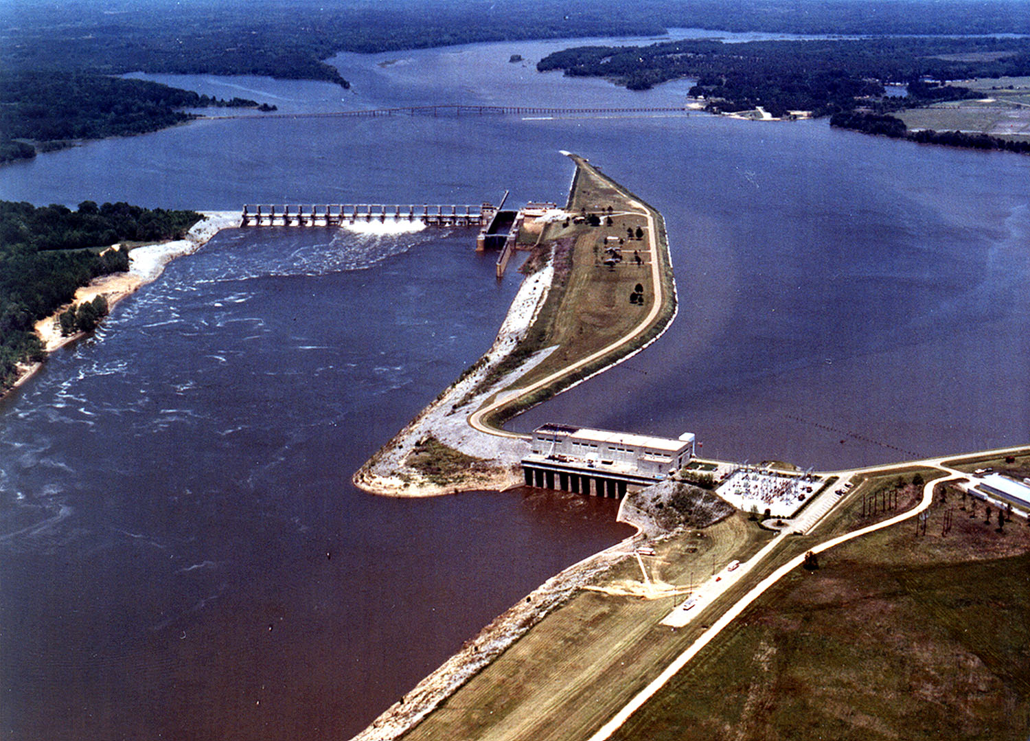
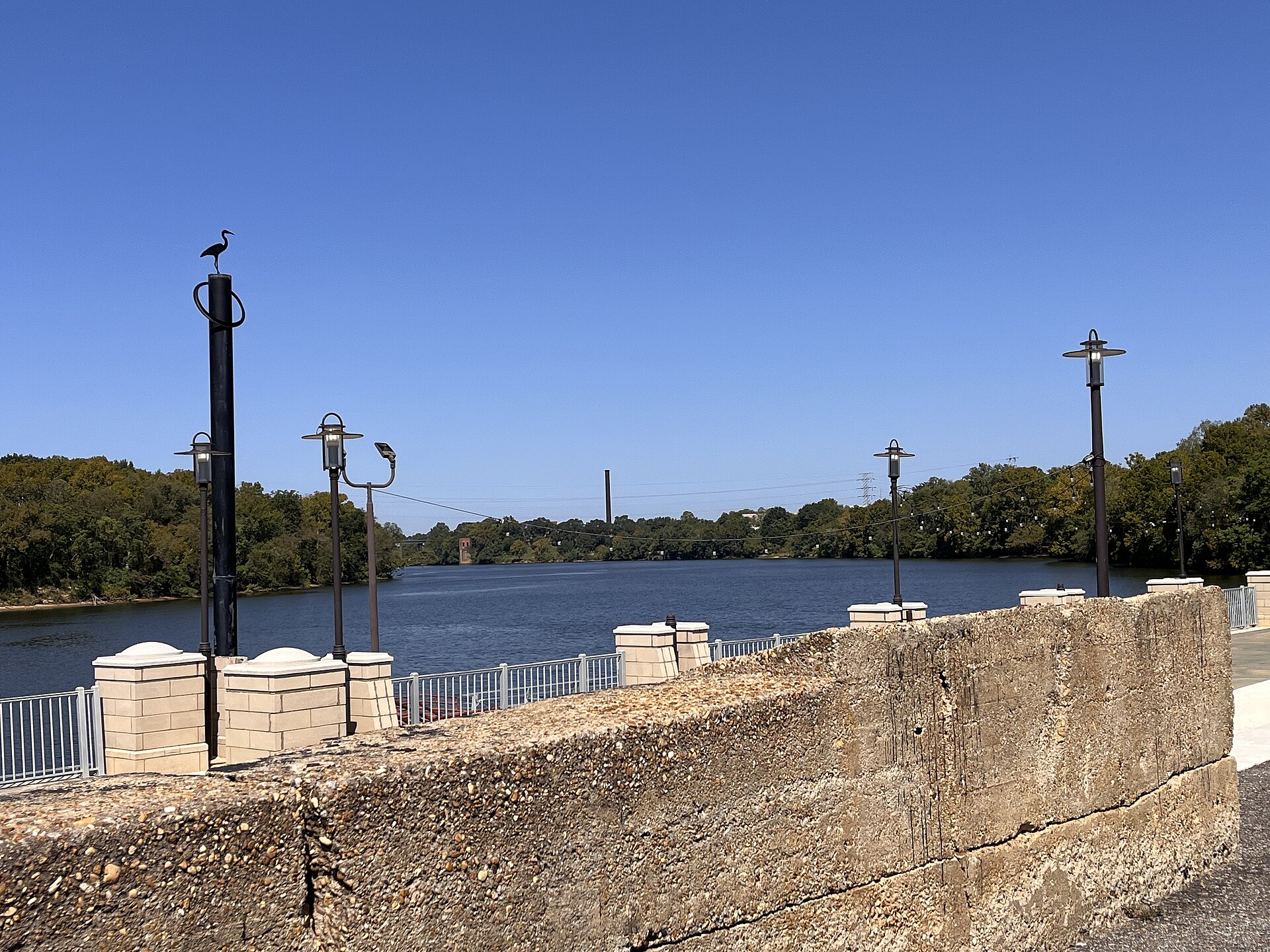
R E 'Bob' Woodruff Reservoir covers 9,129 acres in Alabama, across 4 counties: Montgomery, Autauga, Lowndes and Elmore. It is a reservoir: the deepest figure on record is 44.9 feet (13.7 m), as published by EPA NLA (2007), a figure without a map of the bottom. Our records hold 20 species for this water.
7 target fish, led by Striped Bass
- Striped Bass — Best months: Oct, Nov, Apr.
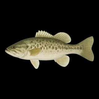
- Largemouth Bass — Best months: Apr, May, Jun, Oct.
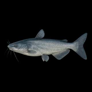
- Blue Catfish — Best months: May, Jun, Sep, Oct.
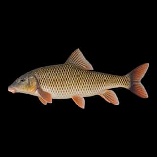
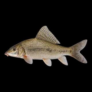
- Blacktail Redhorse — Best months: Oct, Nov, Apr.
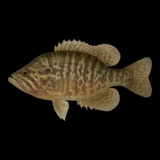
- Spotted Bass — Best months: Apr, May, Jun, Oct.
- White Bass — Best months: Oct, Nov, Apr.
- Black Crappie — Best months: Oct, Nov, Apr.
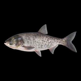
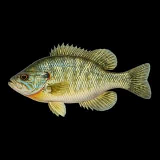
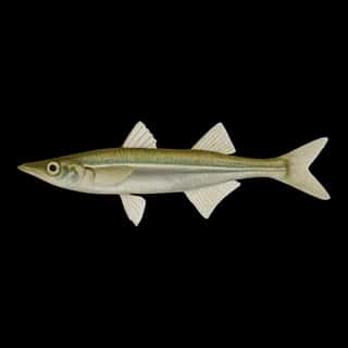
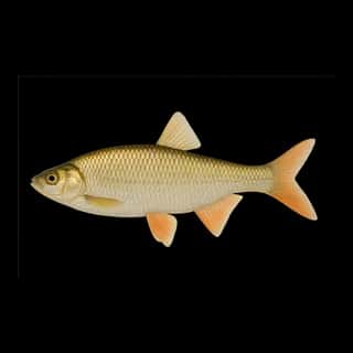
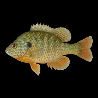
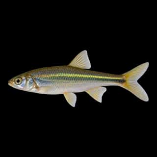
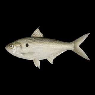
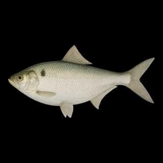
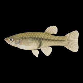
Also recorded here: Highfin Carpsucker, Bluegill, Redear, Warmouth, Green Sunfish, Longear Sunfish, Bighead Carp, Emerald Shiner, Gizzard Shad, Golden Shiner, Brook Silverside, Threadfin Shad, Western Mosquitofish.
Water and conditions
Water clarity runs 1.7–4 feet on our readings, averaging 3 feet, from 281 readings. Water temperature averages 74°F across the year. The coldest single reading we hold is 41°F and the warmest is 92°F; the warmest monthly average is 86°F. pH averages 7.2. These readings span 2016–2026.
Monthly average water temperature: Jan 53°F · Feb 53°F · Mar 59°F · Apr 69°F · May 76°F · Jun 80°F · Jul 85°F · Aug 86°F · Sep 83°F · Oct 74°F · Nov 65°F · Dec 57°F
Depth and bottom
Deepest figure on record: 44.9 ft (13.7 m), as published by EPA NLA (2007). We hold no survey map of this bottom, so we show no depth bands.
Season by season
- Winter (Dec, Jan, Feb, Mar, 53–59°F) — Steady but no peak: Striped Bass, Largemouth Bass, Blue Catfish, Blacktail Redhorse, Spotted Bass, White Bass.
- Spring (Apr, May, 69–76°F) — Biting: Striped Bass, Largemouth Bass, Blue Catfish, Blacktail Redhorse, Spotted Bass, White Bass.
- Summer (Jun, Jul, Aug, Sep, 80–86°F) — Biting: Largemouth Bass, Blue Catfish, Spotted Bass.
- Fall (Oct, Nov, 65–74°F) — Biting: Striped Bass, Largemouth Bass, Blue Catfish, Blacktail Redhorse, Spotted Bass, White Bass.
What is hard here
Wind is the limit, not the fish: 9,129 acres of open water build a short steep chop, and there is no shelter in the middle. Winter water drops to 53°F, and the warm-water species stop feeding well before you do. Summer water sits at 86°F: heat and afternoon lightning are the real risks, not the fishing.
Where this data comes from
- USACE eHydro — USACE eHydro channel surveys: class A, a survey of the bottom.
- EPA NLA — EPA National Lakes Assessment: class B, a depth figure measured and published by an agency, without a bottom map, 2007.
- Webster, K.E., McCullough, I.M., Soranno, P.A. LAGOS-US DEPTH v1.0, EDI, doi:10.6073/pasta/64ddc4d04661d9aef4bd702dc5d8984f (CC BY 4.0); Cheruvelil et al. LAGOS-US LOCUS v1.0 (EDI) — LAGOS-US DEPTH v1.0: Lake depth for 17,675 lakes in the conterminous U.S.: class B, a depth figure measured and published by an agency, without a bottom map.