Choctawhatchee Bay: depth, boat ramps and water quality
Boat: 36 ramps and launches on file for this water.
Start here: Launch at Joe's Bayou Boat Launch, 5 lanes, concrete.
The estuary
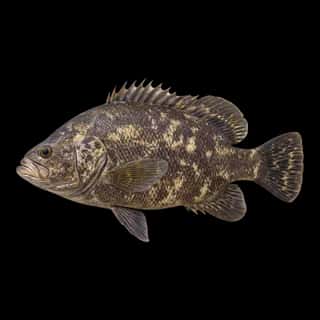
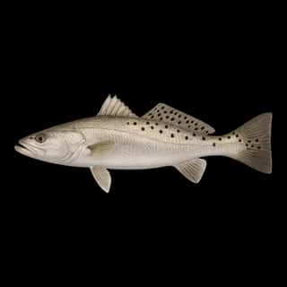
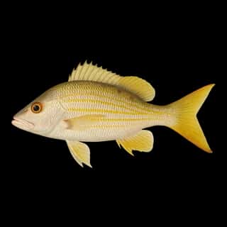
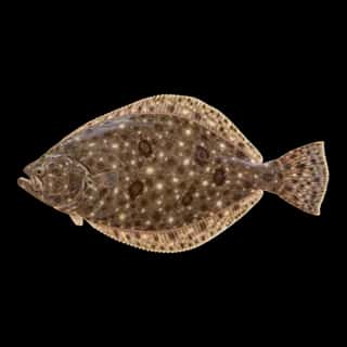
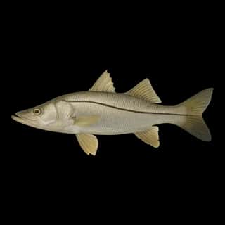
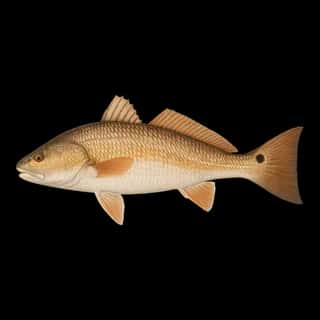
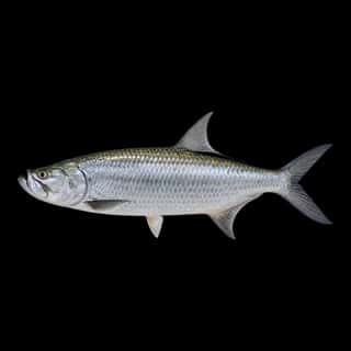
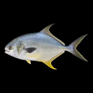
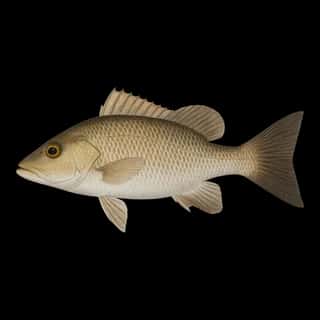
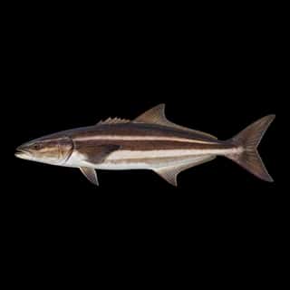
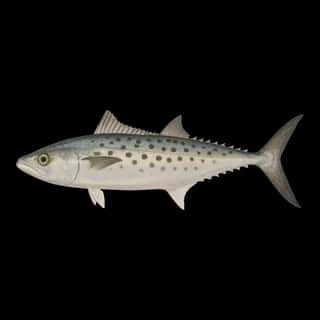
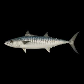
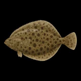
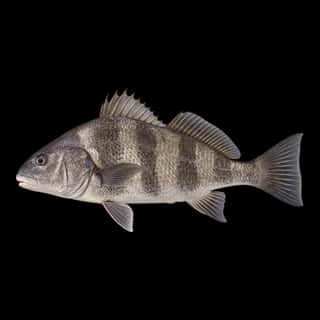
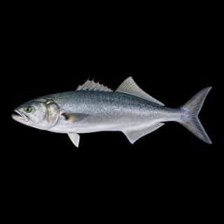
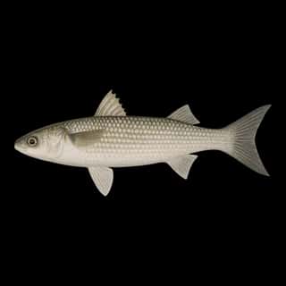
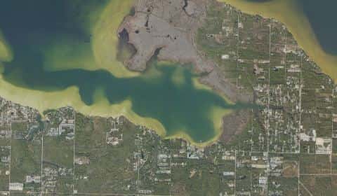
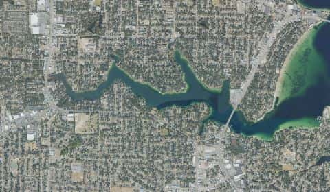
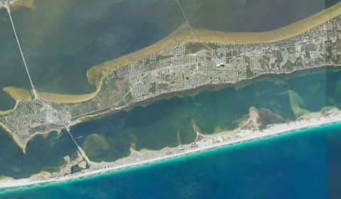
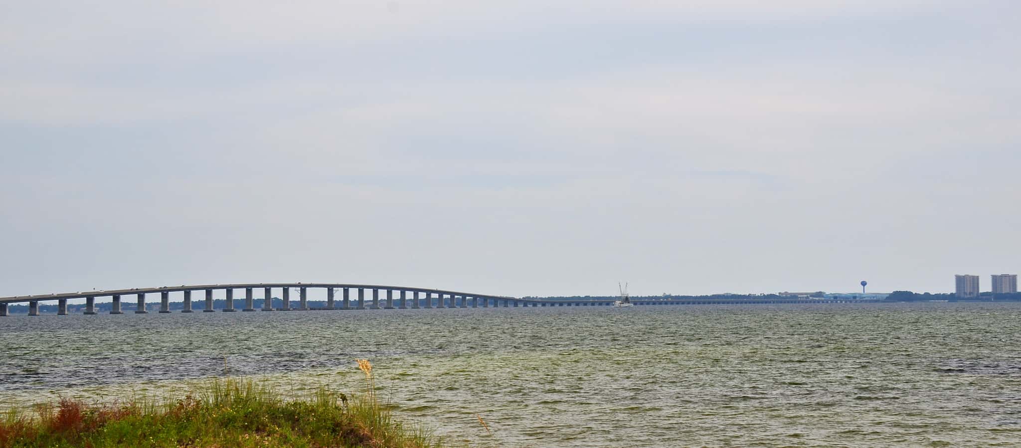
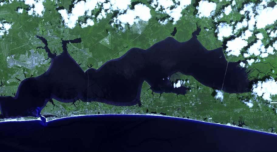
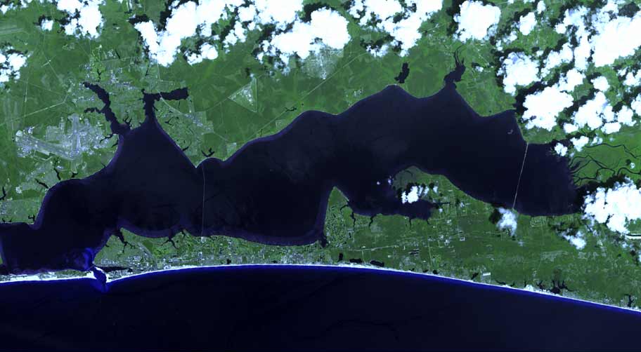
Choctawhatchee Bay covers 78,142 acres in Florida, across 2 counties: Walton and Okaloosa. It is an estuary: 94.1% of it is 33 feet deep or less; the deepest point measured is 53.8 feet (16.4 m). Our records hold 17 species for this water.
36 ramps and launches on this water
On this water we hold 30 trailer ramps, 6 hand launches, 12 fishing piers and 3 launches with restricted access.
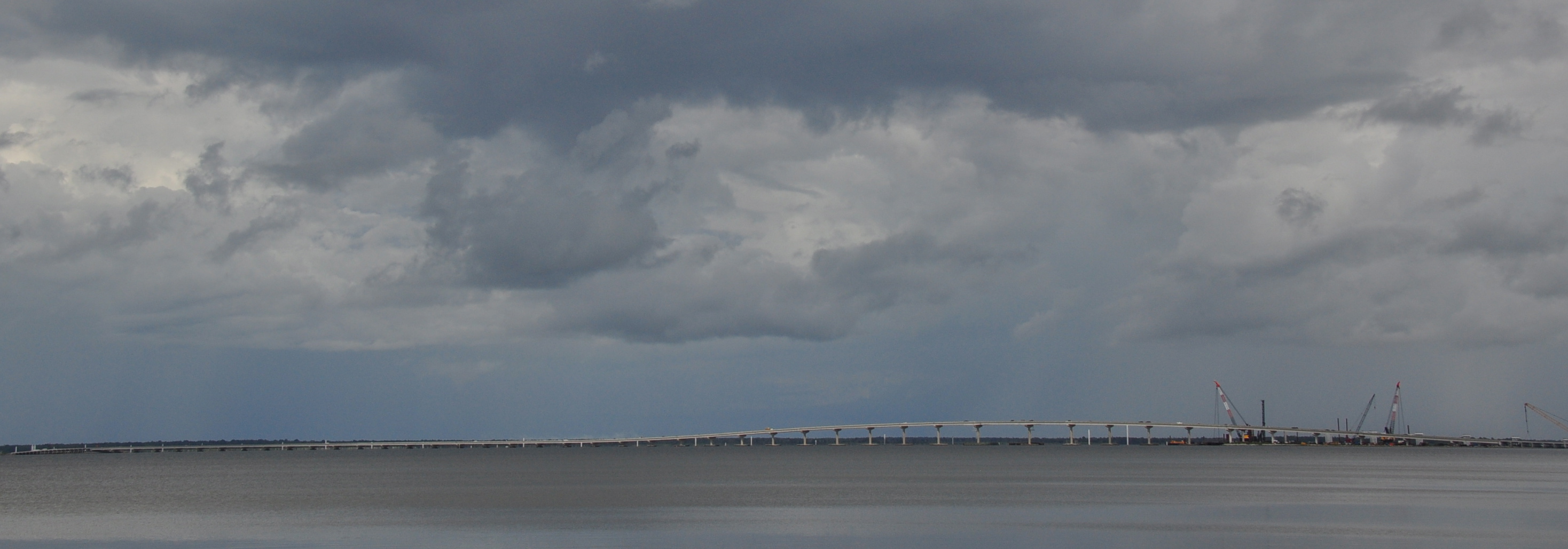
- Thomas Pilcher Park on the Clyde B. Wells Bridge - Boat Ramp — 4 lanes, concrete, parking for 20 trailers (paved), no fee, open around the clock, flush restrooms, dock, wheelchair access. Santa Rosa Beach, Walton County. 21987 US Highway 331, Santa Rosa Beach 32459 · website co.walton.fl.us/Facilities/Facility/Details/Thomas-Pilcher-Park-81
- Charles E Cessna Landing Public Boat Ramp — 2 lanes, concrete, parking for 13 trailers (paved), open around the clock, flush restrooms, dock, lit for night fishing, restrooms, wheelchair access. Santa Rosa Beach, Walton County. County Road 393 North, Santa Rosa Beach 32459 · website co.walton.fl.us/817/Parks
- Destin Marina — 1 lane, concrete, parking for 20 trailers (firm unpaved), paid, open around the clock, portable restrooms, dock. Destin. 7 Calhoun Ave, Destin 32541 · website thedestinmarina.com
- Black Creek Lodge — 1 lane, marina, concrete, parking for 16 trailers (firm unpaved), paid, open around the clock, flush restrooms, dock. On Choctawhatchee River, Freeport. 710 Black Creek Lodge Rd, Freeport 32439
- Joe's Bayou Boat Launch — 5 lanes, concrete, parking for 55 trailers (paved), paid, open around the clock, flush restrooms, dock, restrooms. Destin, City of Destin. 800 Beach Drive, Destin 32541 · phone (850) 650-1241 · website cityofdestin.com/270/FacilitiesParks
- Fred Gannon Rocky Bayou State Park - Boat Ramp — 2 lanes, concrete, parking for 28 trailers (paved), paid, daylight hours, dock. Niceville, Florida Department of Environmental Protection. 4281 East Highway 20, Niceville 32578 · website floridastateparks.org/parks-and-trails/fred-gannon-rocky-bayou-state-park
- Grady Brown Bayfield Park - Boat Ramp — 2 lanes, concrete, parking for 24 trailers (paved), no fee, open around the clock, flush restrooms, dock. Freeport, Walton County. 20940 U.S. Highway 331 South, Freeport 32439 · website co.walton.fl.us/Facilities/Facility/Details/2
- Sea Way Boat Ramp At Cinco Bayou — 2 lanes, concrete, parking for 13 trailers (paved), paid, open around the clock, dock, lit for night fishing, needs repair. Fort Walton Beach, City of Fort Walton Beach. Seaway Street, Fort Walton Beach 32548
- Lincoln Park — 2 lanes, concrete, parking for 10 trailers (paved), open around the clock, flush restrooms, dock, lit for night fishing, restrooms. Valparaiso, City of Valparaiso. North Bayshore Drive & East Washington Avenue, Valparaiso 32580
- Niceville Lions Park — 2 lanes, concrete, parking for 9 trailers (paved), open around the clock, flush restrooms, lit for night fishing, restrooms, wheelchair access. Niceville, City of Niceville. ~ 950 Bayshore Drive, Niceville 32578
Car-top and kayak launches — no trailer
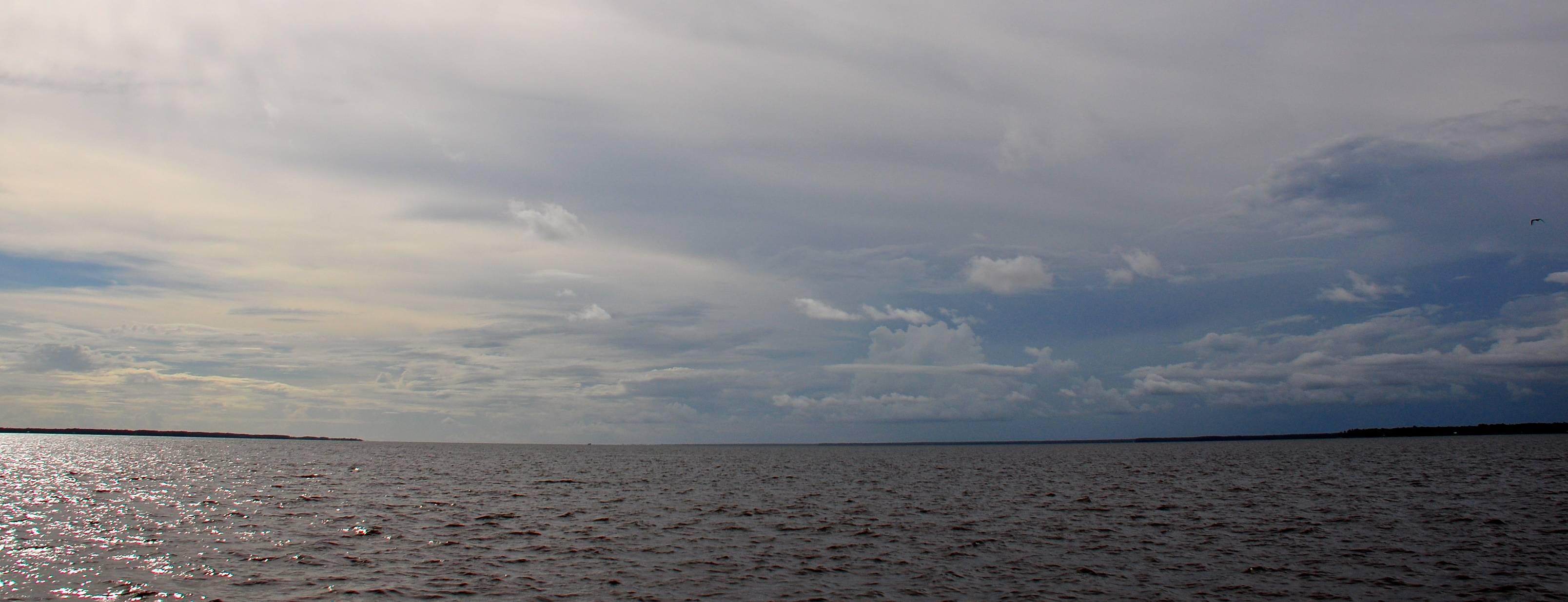
- Grady Brown Bayfield Park - Accessible Kayak Launch — hand launch, dock, no fee, open around the clock, flush restrooms, dock. Freeport, Walton County. 20940 U.S. Highway South, Freeport 32439 · website co.walton.fl.us/Facilities/Facility/Details/2
- Hood Avenue Neighborhood Park Kayak Access (Limited Parking) — hand launch. Fort Walton Beach, City of Fort Walton Beach.
- Ross Marler Park Paddlecraft Beach — hand launch, restrooms. Fort Walton Beach, Okaloosa County. 1306 Miracle Strip Way, Fort Walton Beach 32548 · website myokaloosa.com/pw/parks/list
- Topsail Hill Preserve State Park - Campbell Lake Canoe Launch and Rentals — hand launch, paid, daylight hours. Santa Rosa Beach, Florida Department of Environmental Protection. 7525 West Scenic Highway 30A, Santa Rosa Beach 32459 · website floridastateparks.org/parks-and-trails/topsail-hill-preserve-state-park
- Eden Gardens State Park Kayak Launch — hand launch, paid, daylight hours, flush restrooms. Santa Rosa Beach, Florida Department of Environmental Protection. 181 Eden Gardens Road (County Road 395), Santa Rosa Beach 32459 · website floridastateparks.org/parks-and-trails/eden-gardens-state-park
- Fred Gannon Rocky Bayou State Park - Kayak Beach — hand launch, sand, parking for 25 cars, paid, daylight hours, flush restrooms. Niceville, Florida Department of Environmental Protection. 4281 East Highway 20, Niceville 32578 · website floridastateparks.org/parks-and-trails/fred-gannon-rocky-bayou-state-park
Fishing piers
- Ben's Lake — no fee. On Ben's Lake, Eglin Air Force Base, U. S. Air Force. hours: 8AM - 4PM, Closed Wednesday
- Charles E Cessna Landing — no fee, daylight hours. Santa Rosa Beach, Walton County. CR 393 N, Santa Rosa Beach 32459
- Clement Taylor Park — no fee, open 6am–8pm. Destin, City of Destin. 131 Calhoun Avenue, Destin 32541
- Eden Gardens State Botanical Park — park entry fee, open 8am–sunset. On Tucker Bayou, Santa Rosa Beach, FL Department of Environmental Protection, State Parks. 181 Eden Gardens Road, Santa Rosa Beach 32459
- Florida Park — no fee, daylight hours. Valparaiso, City of Valparaiso. 221 Bayshore Dr, Valparaiso 32580
- Longwood Community Park — no fee, daylight hours. On Garnier Bayou, Shalimar, Okaloosa County. Longwood Dr. and Marlborough Rd., Shalimar 32579
- Main Street Park — no fee, daylight hours. Destin, City of Destin. 605 Main Street, Destin 32541
- Marse Landing at Four Mile Creek — no fee, open around the clock. On Four Mile Creek, Freeport, City of Freeport. End of Shipyard Rd., Freeport 32439
Restricted access — you cannot just drive up
- Eglin AFB - Basin Bayou Camp Site — hand launch, sand, paid. Freeport, United States Air Force - Eglin AFB. Range Road 350, Freeport 32439 · phone (850) 882-4165 · website eglin.isportsman.net/OfficeInformation.aspx
- Eglin AFB - Bay Flats Recreation Area — hand launch, sand, parking for 2 trailers (firm unpaved), paid. Freeport, United States Air Force - Eglin AFB. Highway 20, Freeport 32439 · phone (850) 882-4165 · website eglin.isportsman.net/OfficeInformation.aspx
- Eglin AFB - White Point Beach Hand Launch — hand launch, sand, paid. Niceville, United States Air Force - Eglin AFB. 801 White Point Road, Niceville 32578 · phone (850) 882-4165 · website eglin.isportsman.net/OfficeInformation.aspx
11 of the 24 places listed have both a fee and opening hours on file: a blank means we hold no such field, not that it is free or always open, and this list may not be complete.
Depth: down to 53.8 ft at the deepest measured point
Deepest measured point: 53.8 ft (16.4 m). 94.1% of the water is 33 feet or shallower. We hold 1 depth contour for this water, drawn from 234,766 soundings.
- 0–2 ft: 2.7% of the water
- 2–3 ft: 10.1% of the water
- 3–5 ft: 4.7% of the water
- 5–7 ft: 3.3% of the water
- 7–10 ft: 10.7% of the water
- 10–11 ft: 6.8% of the water
- 11–13 ft: 5.9% of the water
- 13–15 ft: 5.4% of the water
- 15–16 ft: 5.4% of the water
- 16–18 ft: 5% of the water
- 18–20 ft: 4.9% of the water
- 20–21 ft: 7.3% of the water
- 21–23 ft: 5.3% of the water
- 23–25 ft: 3.9% of the water
- 25–28 ft: 4.8% of the water
- 28–30 ft: 2.2% of the water
- 30–33 ft: 5.7% of the water
- 33–36 ft: 4.2% of the water
- 36–38 ft: 1.5% of the water
- 38–41 ft: 0.4% of the water
Water and conditions
Water clarity runs 2.5–11.5 feet on our readings, averaging 6.3 feet, from 5,723 readings. Water temperature averages 74°F across the year. The coldest single reading we hold is 39°F and the warmest is 98°F; the warmest monthly average is 87°F. pH averages 7.8. These readings span 2016–2025.
Monthly average water temperature: Jan 58°F · Feb 61°F · Mar 66°F · Apr 71°F · May 78°F · Jun 84°F · Jul 87°F · Aug 87°F · Sep 84°F · Oct 77°F · Nov 66°F · Dec 60°F
What is hard here
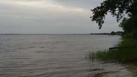
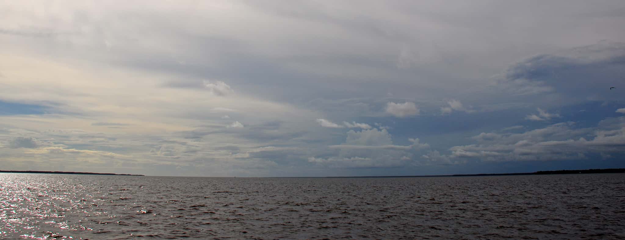
Wind is the limit, not the fish: 78,142 acres of open water build a short steep chop, and there is no shelter in the middle. Clarity swings from 2.5 to 11.5 feet between our readings — the water you meet is not the water someone photographed. Winter water drops to 58°F, and the warm-water species stop feeding well before you do. Stingrays lie on shallow sand and grass flats. Shuffle your feet through the shallows instead of stepping. Summer water sits at 87°F: heat and afternoon lightning are the real risks, not the fishing.
Where this data comes from
- NOAA NOS Hydro — NOAA NOS hydrographic survey archive: class A, a survey of the bottom.
- NOAA Digital Coast — NOAA Digital Coast bathymetric lidar: class A, a survey of the bottom, 1983–2018.
- USACE eHydro — USACE eHydro channel surveys: class A, a survey of the bottom.
- NOAA ENC — NOAA Electronic Navigational Charts: soundings: class A, a survey of the bottom.
- NOAA BlueTopo: class A, a survey of the bottom.
- NOAA National Bathymetric Source (S-102 ed3.0.0) — NOAA S-102 bathymetric surfaces: contours: class A, a survey of the bottom.
- NOAA ENC — NOAA Electronic Navigational Charts: depth contours: class A, a survey of the bottom.