Grassy Cove: depth, boat ramps and water quality
Boat: 1 ramp or launch on file for this water.
Start here: Launch at Choctaw Beach Park Public Boat Launch, 1 lane, concrete.
The estuary
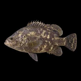
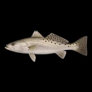
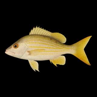
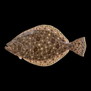
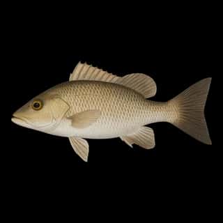
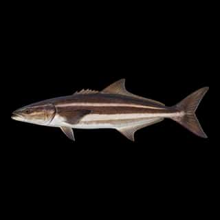
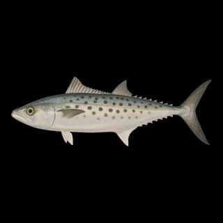
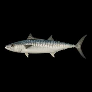
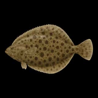
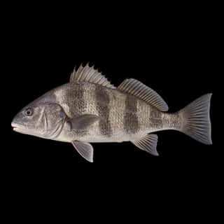
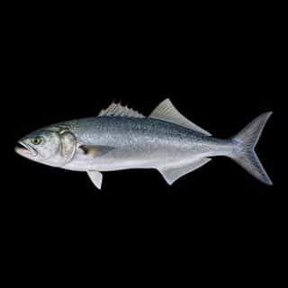
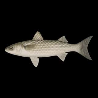
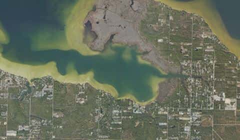
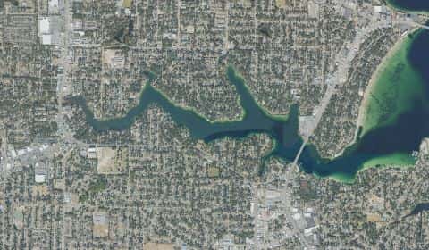
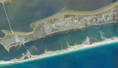
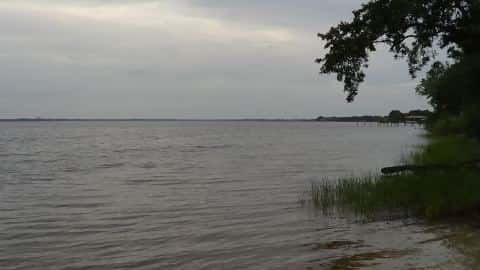
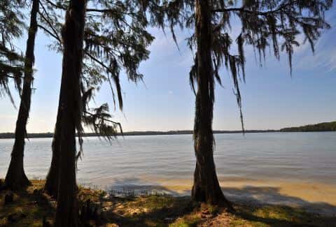
Grassy Cove covers 536 acres in Florida, across Walton County. It is an estuary: the deepest point measured is 16.4 feet (5 m). Our records hold 17 species for this water.
Depth: down to 16.4 ft at the deepest measured point
Deepest measured point: 16.4 ft (5 m). We hold 28 depth contours for this water, drawn from 671 soundings.
Water and conditions
Water clarity runs 1.6–4.6 feet on our readings, averaging 3.2 feet, from 45 readings. Water temperature averages 71°F across the year. The coldest single reading we hold is 49°F and the warmest is 87°F; the warmest monthly average is 82°F. pH averages 6.1. These readings span 2016–2025.
Monthly average water temperature: Jan 59°F · Feb 62°F · Mar 65°F · Apr 67°F · May 77°F · Jun 80°F · Jul 81°F · Aug 82°F · Sep 81°F · Oct 76°F · Nov 65°F · Dec 55°F
1 ramp or launch on this water
On this water we hold 1 trailer ramp.
- Choctaw Beach Park Public Boat Launch — 1 lane, concrete, parking for 6 trailers (firm unpaved), no fee, flush restrooms, restrooms. Freeport, Walton County. 12481 State Highway 20, Freeport 32439 · website co.walton.fl.us/Facilities/Facility/Details/4
Our ramp table for this water is not complete: there may be more.
What is hard here
Only 1 public ramp is on file, so the launch decides where you fish. Winter water drops to 55°F, and the warm-water species stop feeding well before you do.
Where this data comes from
- NOAA NOS Hydro — NOAA NOS hydrographic survey archive: class A, a survey of the bottom.
- NOAA National Bathymetric Source (S-102 ed3.0.0) — NOAA S-102 bathymetric surfaces: contours: class A, a survey of the bottom.
- NOAA BlueTopo: class A, a survey of the bottom.
- NOAA ENC — NOAA Electronic Navigational Charts: soundings: class A, a survey of the bottom.
- NOAA ENC — NOAA Electronic Navigational Charts: depth contours: class A, a survey of the bottom.