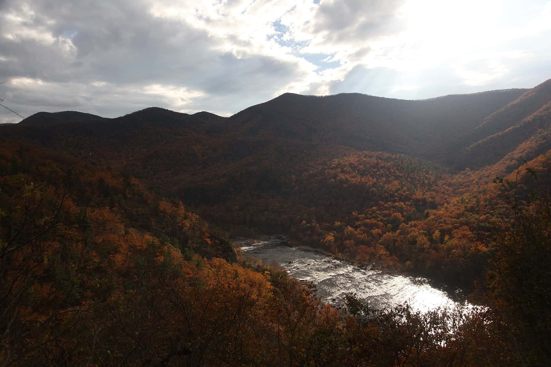
James River fishing: Largemouth Bass, Smallmouth Bass, Flathead Catfish
Target species: Largemouth Bass, Smallmouth Bass, Flathead Catfish, Blue Catfish, Channel Catfish, Bluegill, Redear
Best months: May, Jun, Sep, Oct for Largemouth Bass
Second window: Apr, May, Oct for Smallmouth Bass
Boat: 11 ramps and launches on file for this water.
Start here: Launch at Brown's Marina.
The river
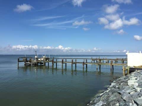
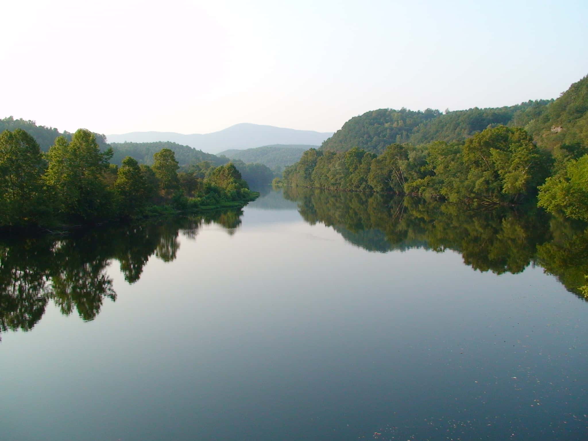
James River covers 163,812 acres in Virginia, across 10 counties: James City, Charles City, Newport News, Isle of Wight, Norfolk, Chesapeake, Surry, Portsmouth, Prince George and New Kent. It is a river: the deepest point measured is 97.1 feet (29.6 m). Our records hold 15 species for this water.
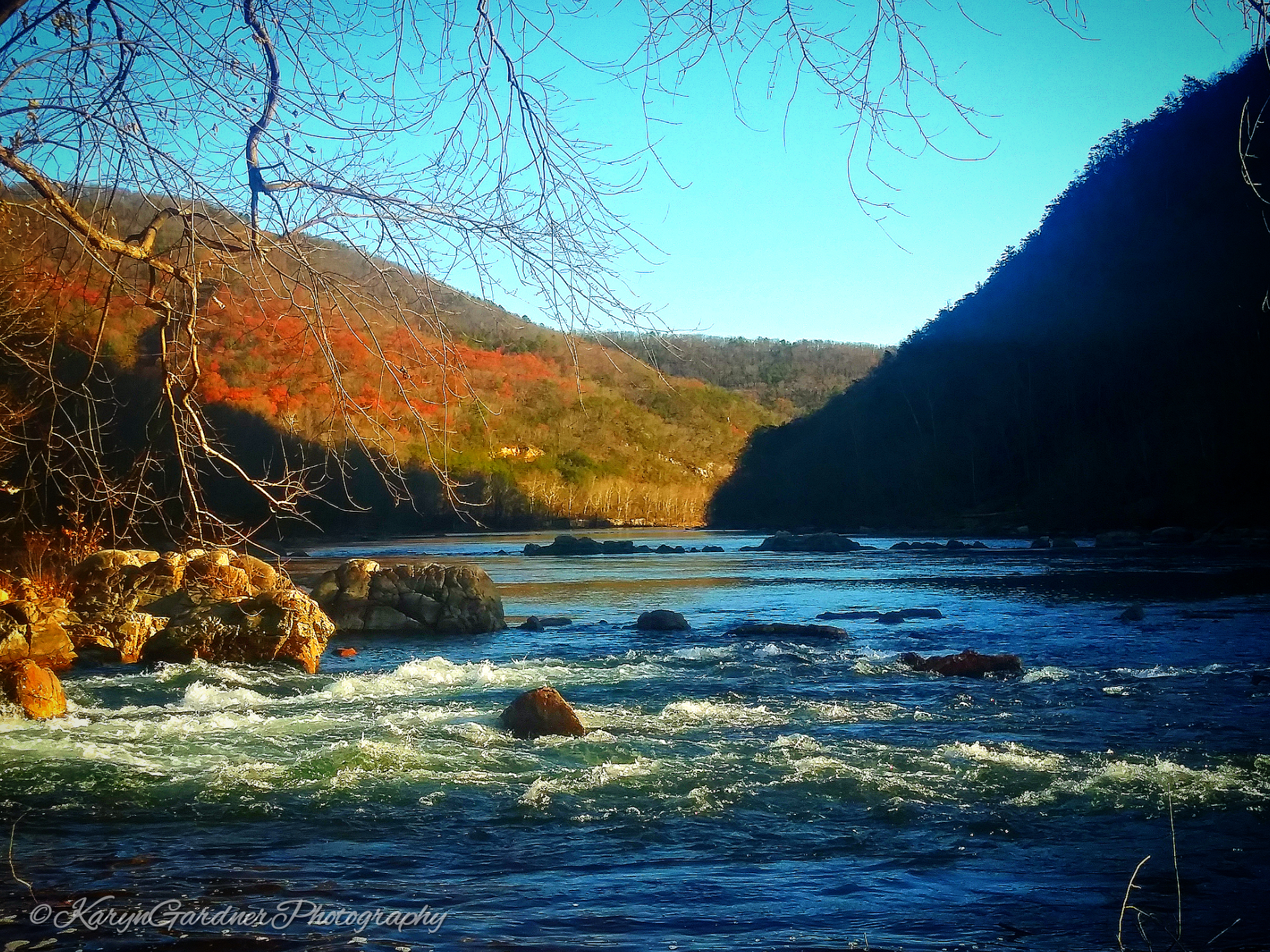
Depth: down to 97.1 ft at the deepest measured point
Deepest measured point: 97.1 ft (29.6 m). We hold 638 depth contours for this water, drawn from 2,501,284 soundings.
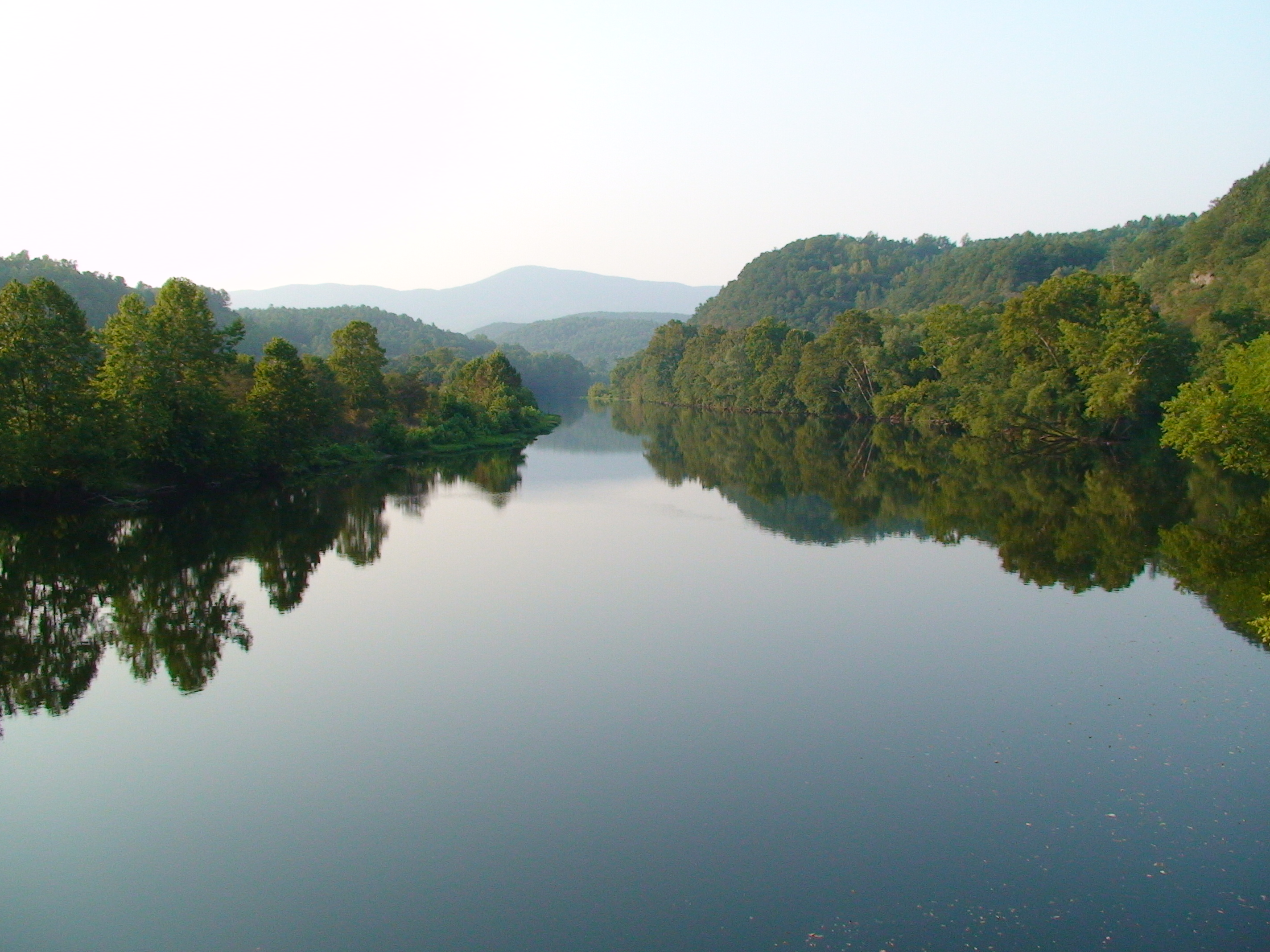
7 target fish, led by Largemouth Bass
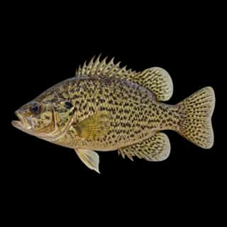
- Largemouth Bass — Best months: May, Jun, Sep, Oct.
- Smallmouth Bass — Best months: Apr, May, Oct.
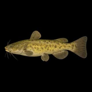
- Flathead Catfish — Best months: Jun, Jul, Aug, Sep.
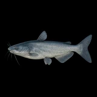
- Blue Catfish — Best months: Jun, Jul, Aug, Sep.
- Channel Catfish — Best months: Jun, Jul, Aug, Sep.
- Bluegill — Best months: Jun, Jul, Aug, Sep.
- Redear — Best months: May, Jun, Sep, Oct.
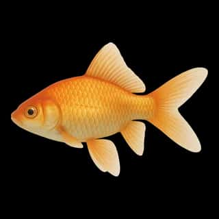
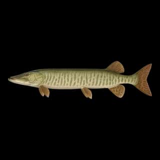
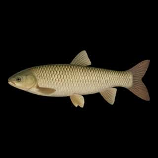
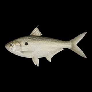
Also recorded here: Muskellunge, Northern Pike, Walleye, Rock Bass, Common Carp, Grass Carp, Goldfish, Threadfin Shad.
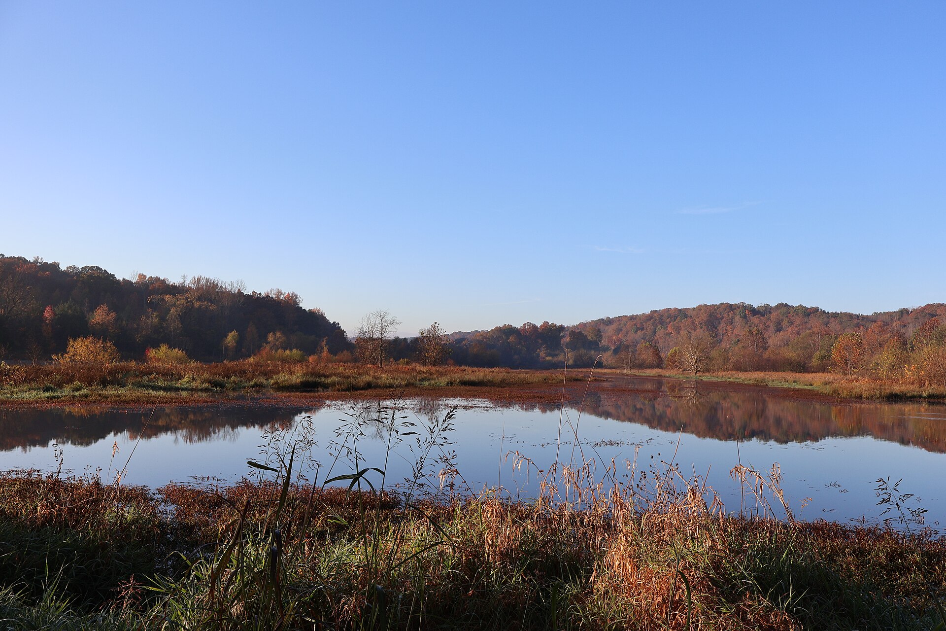
11 ramps and launches on this water
On this water we hold 11 boat ramps.
- Willoughby Harbor Marina — Norfolk, Willoughby Harbor Partners. 1525 Bayville Street, Norfolk 23502 · phone +1 757 583 4150 · website willoughbyharbormarina.com
- Brown's Marina — Carrollton. 10230 Browns Marina Road, Carrollton 23314 · phone +1-757-357-4459 · email [email protected] · hours: Mo-Th 08:30-16:00; Fr 08:30-15:00; Sa-Su 08:00-16:00
- Colonial Harbor Marina — Tayler. 14912 Marina Road 23089
- Grey's Creek — Surry. website surryseafoodco.com/marina
- High Street Landing — City of Portsmouth. phone +1 757 393 5111 · website portsvacation.com/visiting-portsmouth-virginia-by-boat
- James River Marina — Newport News. 663 Deep Creek Road, Newport News 23606
- Naval Station Norfolk Sailing Center and Marina — Norfolk. 9672 Massey Hughes Drive, Norfolk 23511 · phone +1 757 444 2918 · website navylifensn.com/recreation/marina · hours: May 1-Sep 30 09:00-18:00; Oct 1-Apr 30 Mo-Fr 08:30-17:00
- Ocean Yacht Marina — Suntex Marinas. phone +1-757-321-7432 · website oceanyachtmarina.com · email [email protected]
- Surry Seafood Company Marina — Surry Seafood Company. website surryseafoodco.com/marina
- Kingsmill Marina website kingsmill.com/recreation/marina
Fee and opening hours are blank for all 10 places in this list: a blank means we hold no such field, not that it is free or always open, and this list may not be complete.
Water and conditions
Water clarity runs 1.3–5.6 feet on our readings, averaging 3.2 feet, from 2,681 readings. Water temperature averages 68°F across the year. pH averages 7.5. These readings span 2016–2026.
Monthly average water temperature: Jan 44°F · Feb 45°F · Mar 51°F · Apr 61°F · May 70°F · Jun 77°F · Jul 84°F · Aug 82°F · Sep 78°F · Oct 69°F · Nov 58°F · Dec 48°F
Season by season
- Winter (Dec, Jan, Feb, Mar, 44–51°F) — Steady but no peak: Largemouth Bass, Smallmouth Bass, Flathead Catfish, Blue Catfish, Channel Catfish, Bluegill.
- Spring (Apr, May, 61–70°F) — Biting: Largemouth Bass, Smallmouth Bass, Redear.
- Summer (Jun, Jul, Aug, Sep, 77–84°F) — Biting: Largemouth Bass, Flathead Catfish, Blue Catfish, Channel Catfish, Bluegill, Redear.
- Fall (Oct, Nov, 58–69°F) — Biting: Largemouth Bass, Smallmouth Bass, Redear.
What is hard here
Clarity swings from 1.3 to 5.6 feet between our readings — the water you meet is not the water someone photographed. Winter water drops to 44°F, and the warm-water species stop feeding well before you do. Summer water sits at 84°F: heat and afternoon lightning are the real risks, not the fishing.
Where this data comes from
- USACE eHydro — USACE eHydro channel surveys: class A, a survey of the bottom.
- NOAA NOS Hydro — NOAA NOS hydrographic survey archive: class A, a survey of the bottom.
- NOAA ENC — NOAA Electronic Navigational Charts: soundings: class A, a survey of the bottom.
- NOAA ENC — NOAA Electronic Navigational Charts: depth contours: class A, a survey of the bottom.
- NOAA Digital Coast — NOAA Digital Coast bathymetric lidar: class A, a survey of the bottom, 1901.