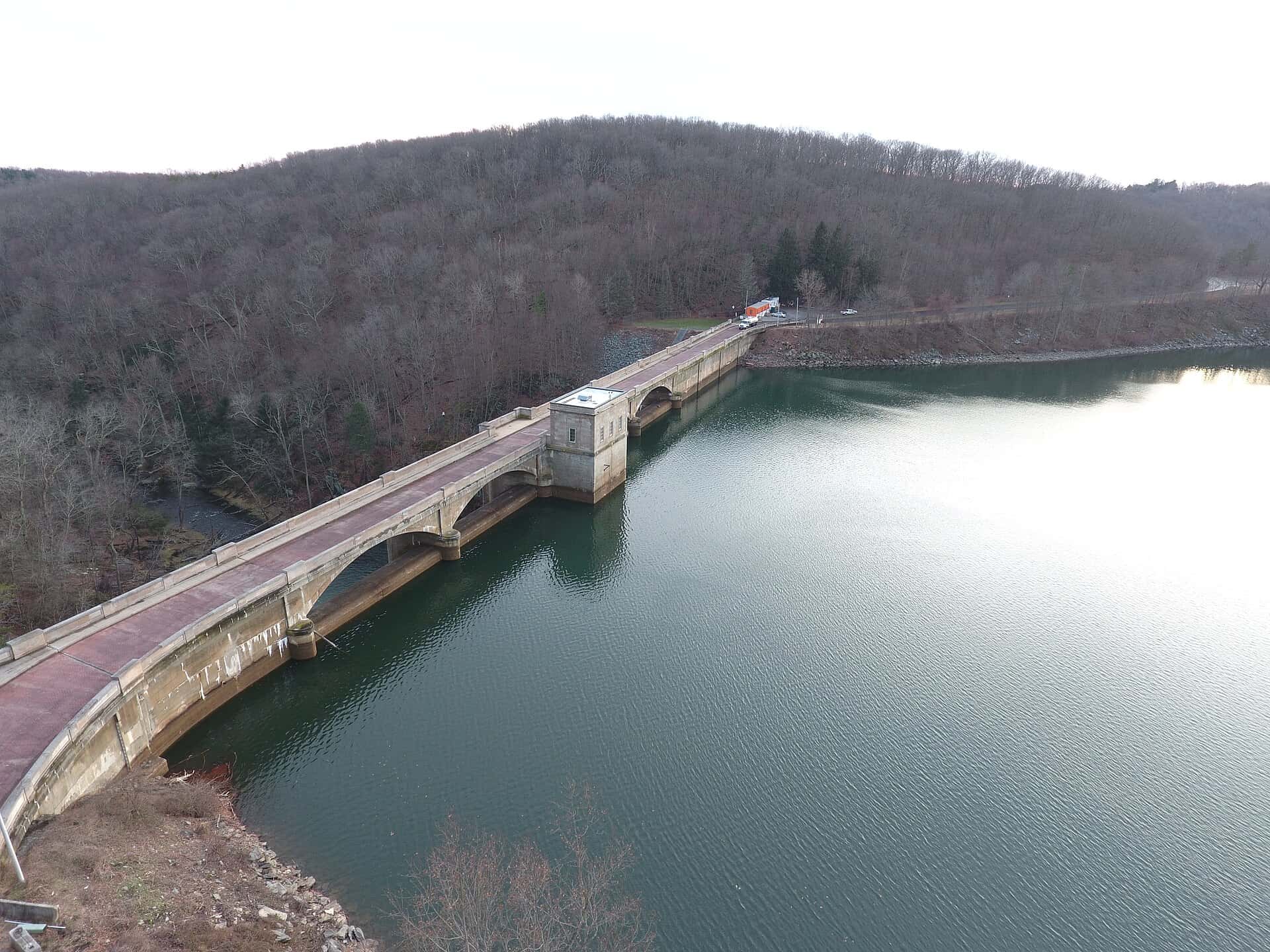
Prettyboy Reservoir fishing: Black Crappie, Bluegill, Brown Trout
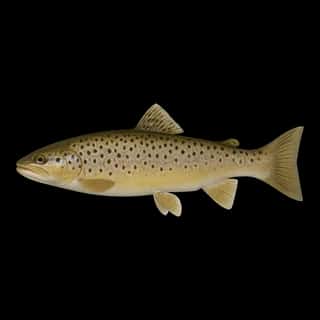
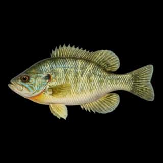
Target species: Black Crappie, Bluegill, Brown Trout
Boat: 1 ramp or launch on file for this water.
Start here: Launch at Prettyboy Reservoir, 1 lane.
The reservoir
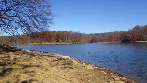
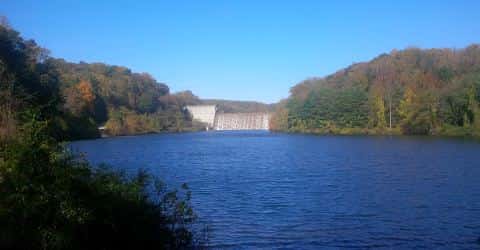
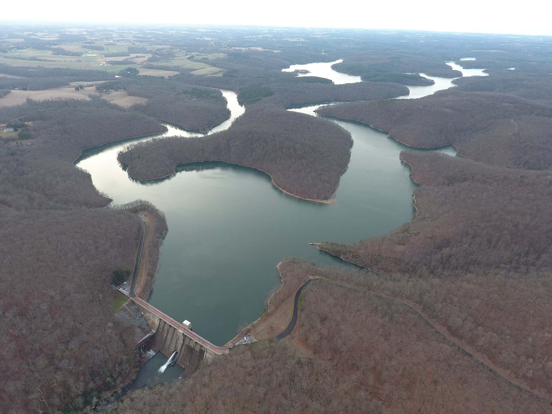
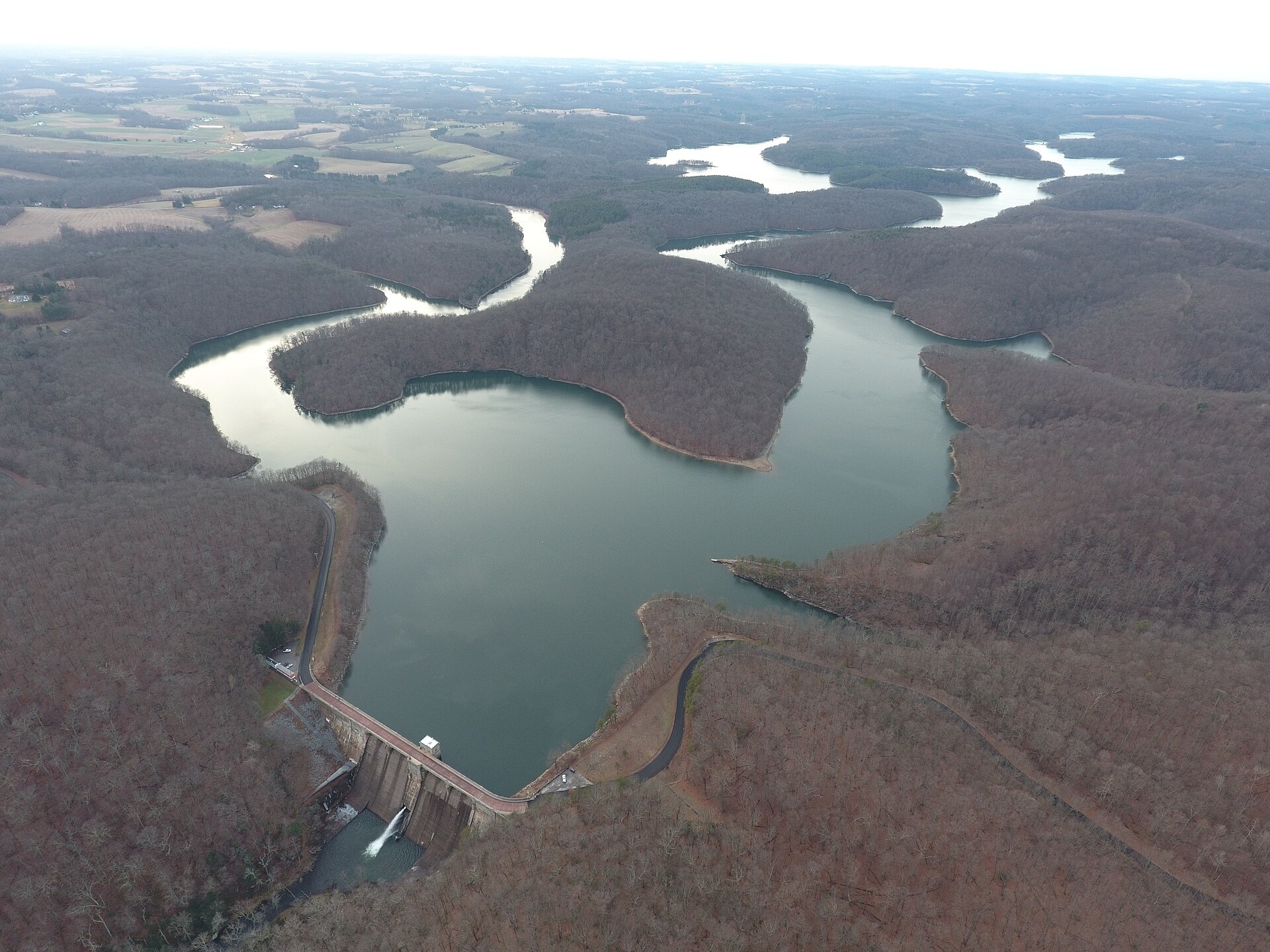
Prettyboy Reservoir covers 1,529 acres in Maryland, across Baltimore County. It is a reservoir: 93.4% of it is 70 feet deep or less; the deepest point measured is 129 feet (39.2 m). Our records hold 5 species for this water.
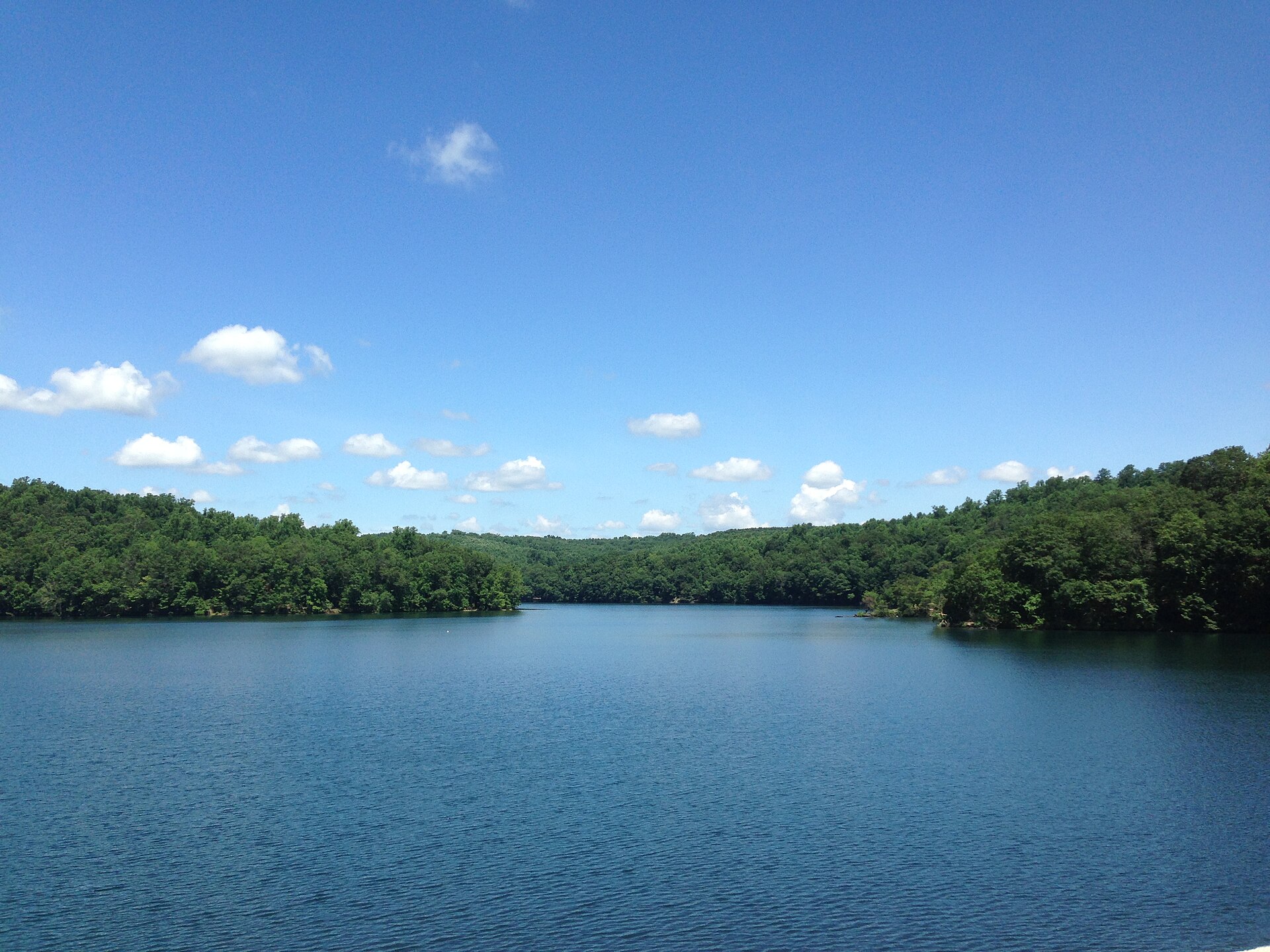
Depth: down to 129 ft at the deepest measured point
Deepest measured point: 129 ft (39.2 m). 93.4% of the water is 70 feet or shallower. We hold 100 depth contours for this water, drawn from 53,221 soundings.
- 0–10 ft: 18.5% of the water
- 10–20 ft: 17.9% of the water
- 20–30 ft: 15.9% of the water
- 30–40 ft: 12.5% of the water
- 40–50 ft: 11.4% of the water
- 50–60 ft: 9.7% of the water
- 60–70 ft: 7.5% of the water
- 70–80 ft: 4.5% of the water
- 80–90 ft: 1.4% of the water
- 90–100 ft: 0.6% of the water
- 100–110 ft: 0.2% of the water
3 target fish, led by Black Crappie
- Black Crappie — Feeding water: 65–75°F.
- Bluegill — Feeding water: 70–85°F.
- Brown Trout — Feeding water: 50–65°F.
Also recorded here: Walleye, Green Sunfish.
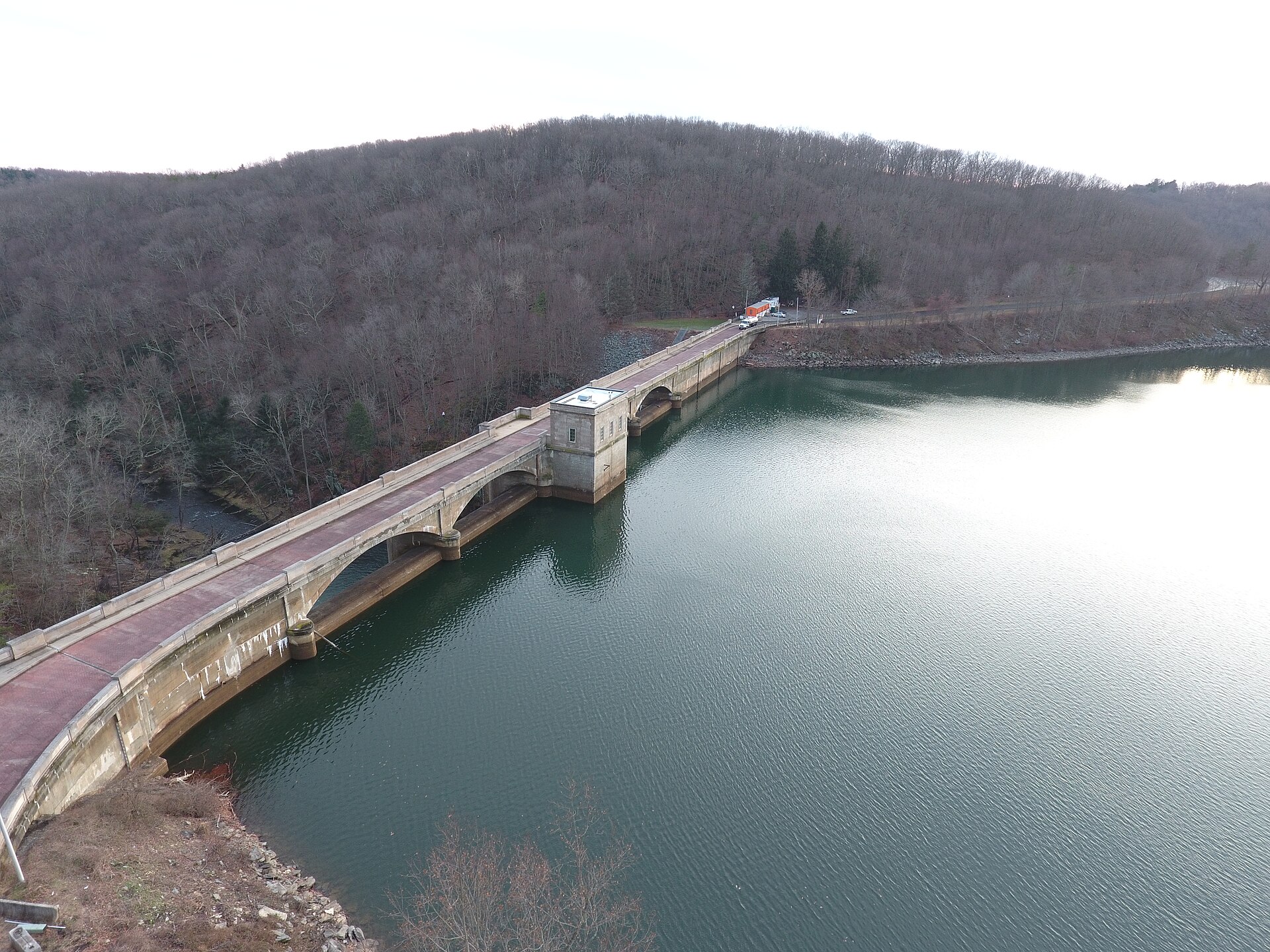
1 ramp or launch on this water
On this water we hold 1 trailer ramp.
- Prettyboy Reservoir — 1 lane, daylight hours, restrooms. Baltimore City - Dept. of Public Works - Reservoir. 19228 Spooks Hill Rd., Hampstead, MD 21074 · phone 410-795-6150 · website publicworks.baltimorecity.gov/sites/default/files/WatercraftPermitApplication.pdf
The place listed has no fee or opening hours on file: a blank means we hold no such field, not that it is free or always open, and this list may not be complete.
What is hard here
Only 1 public ramp is on file, so the launch decides where you fish.
Where this data comes from
- Maryland Geological Survey — Maryland Geological Survey: depth soundings: class A, a survey of the bottom.
- USGS RESSED — USGS RESSED reservoir sedimentation database: class B, a depth figure measured and published by an agency, without a bottom map.