Potomac River fishing: Largemouth Bass, Bluegill, Blue Catfish
Target species: Largemouth Bass, Bluegill, Blue Catfish, Channel Catfish, Black Crappie, Redear
Best months: May, Jun, Aug, Sep for Largemouth Bass
Second window: Jun, Jul, Aug, Sep for Bluegill
Boat: 23 ramps and launches on file for this water.
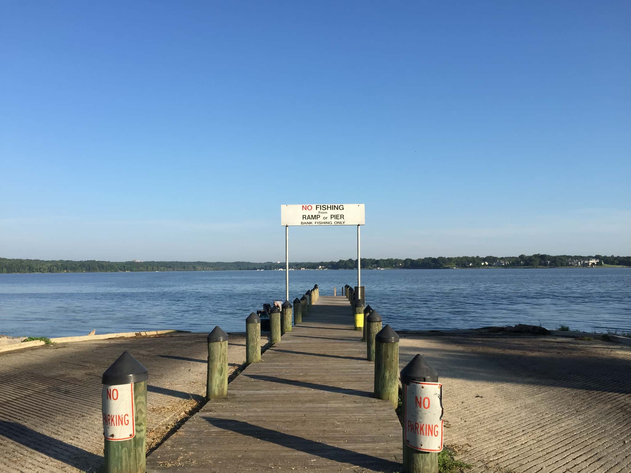
Start here: Launch at Sweden Point Marina/Smallwood State Park boat ramps, 6 lanes.
The river
Potomac River covers 292,305 acres in Maryland, across 2 counties: St. Mary's and Charles. It is a river: the deepest point measured is 119 feet (36.2 m). Our records hold 10 species for this water. 41% of the water lies in Virginia.
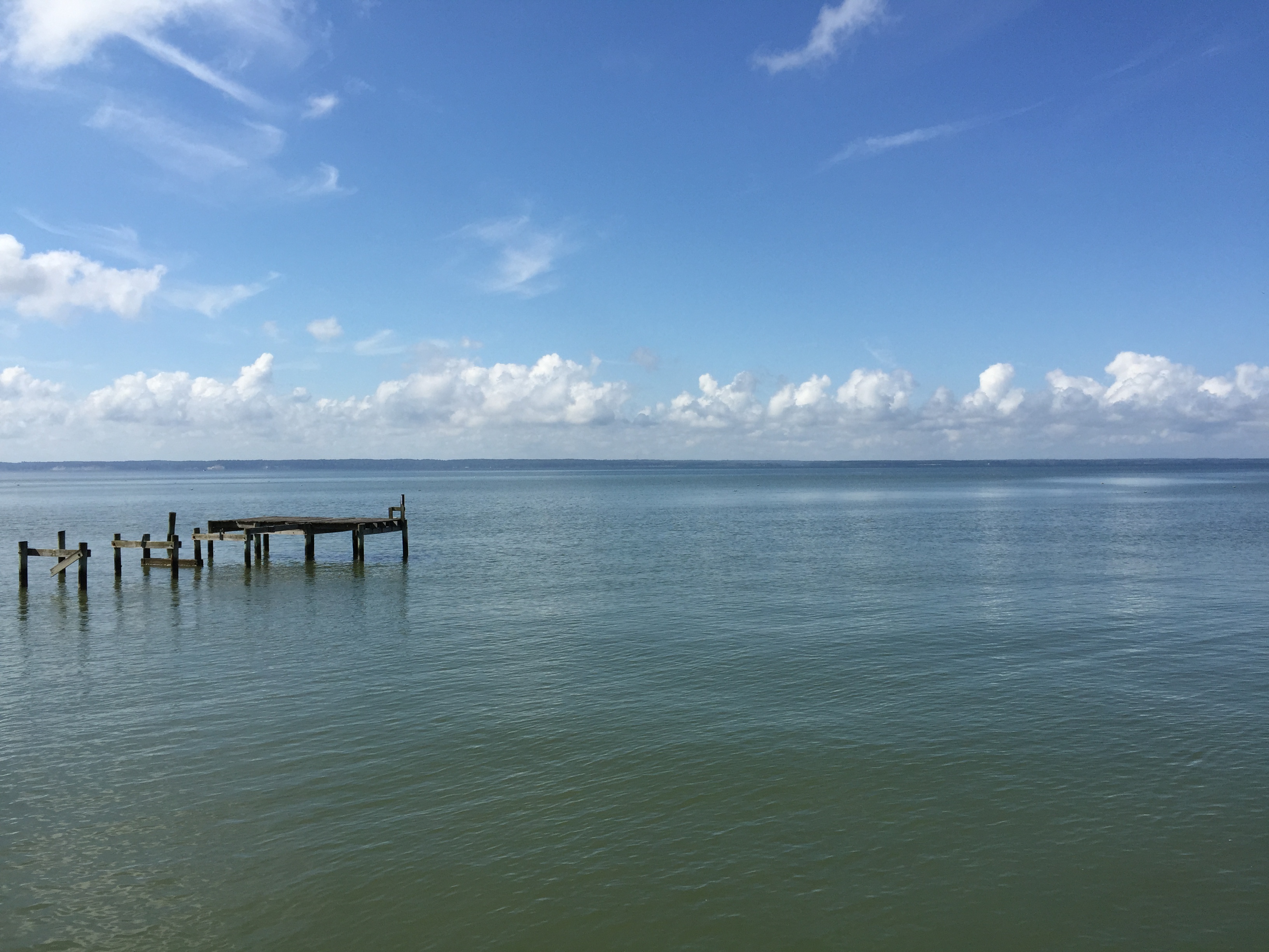
Depth: down to 119 ft at the deepest measured point
Deepest measured point: 119 ft (36.2 m). We hold 14 depth contours for this water, drawn from 509,460 soundings.
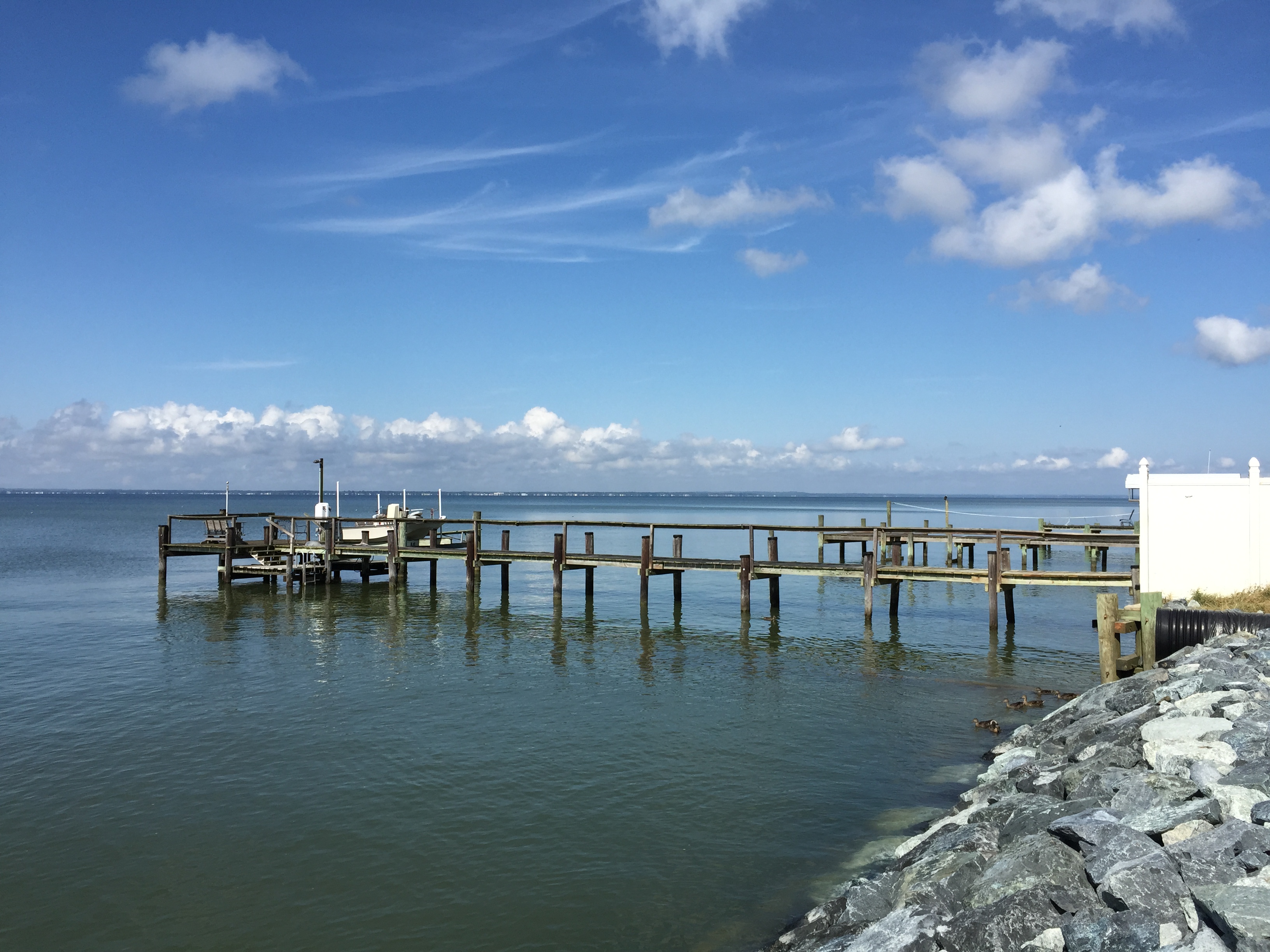
6 target fish, led by Largemouth Bass
- Largemouth Bass — Best months: May, Jun, Aug, Sep.
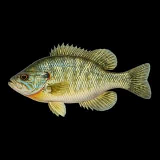
- Bluegill — Best months: Jun, Jul, Aug, Sep.
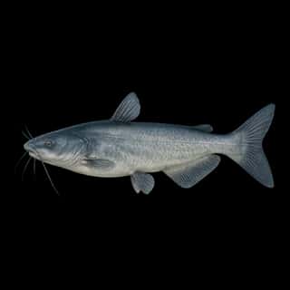
- Blue Catfish — Best months: Jun, Jul, Aug, Sep.
- Channel Catfish — Best months: Jun, Jul, Aug, Sep.
- Black Crappie — Best months: May, Oct.
- Redear — Best months: May, Jun, Aug, Sep.
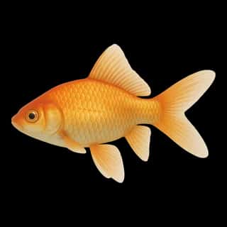
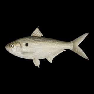
Also recorded here: Green Sunfish, Common Carp, Goldfish, Threadfin Shad.
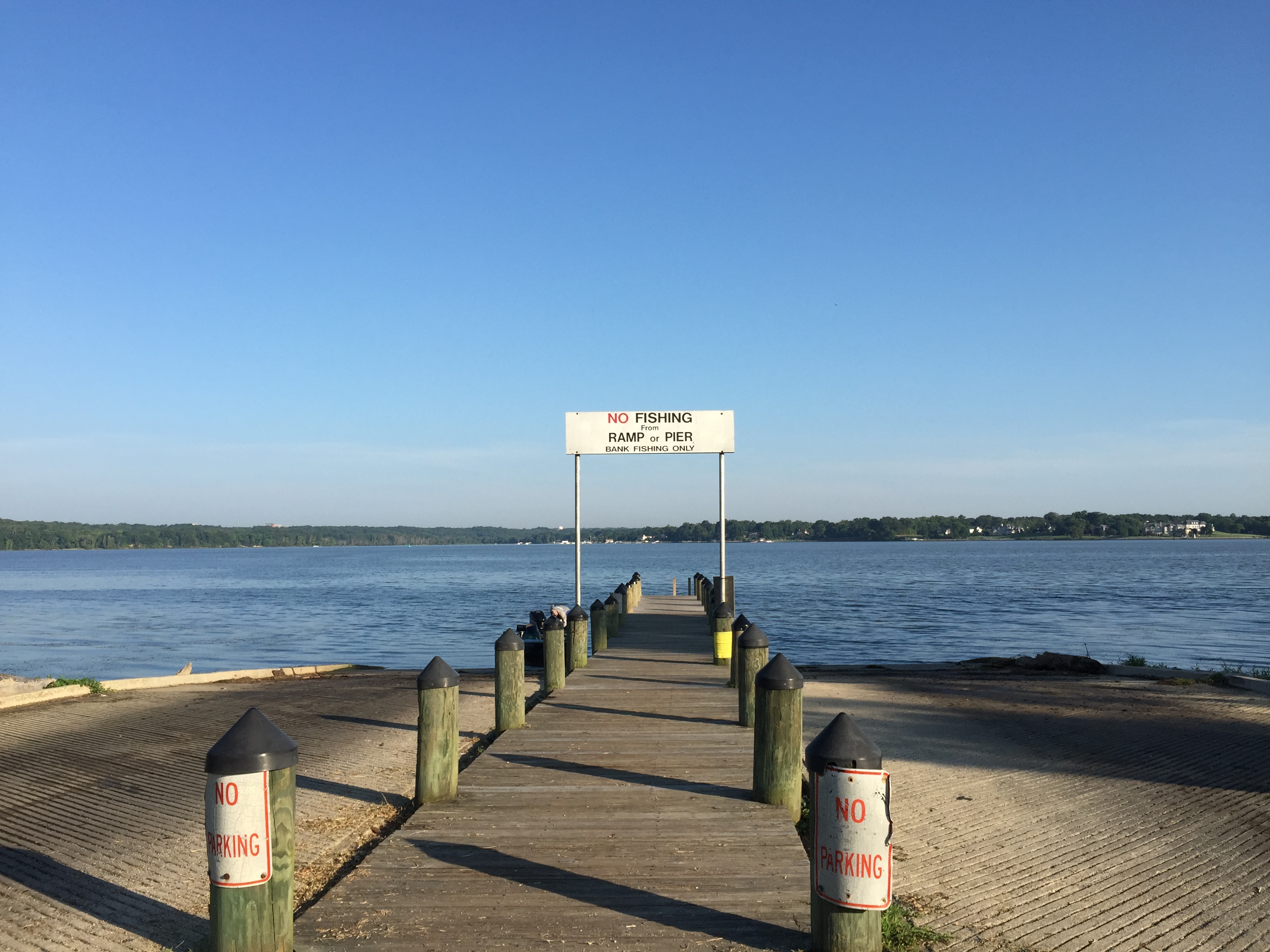
23 ramps and launches on this water
On this water we hold 14 trailer ramps, 9 boat ramps and 26 shore access points.
- Sweden Point Marina/Smallwood State Park boat ramps — 6 lanes, restrooms. On Mattawoman Creek, Maryland Park Service. 2750 Sweden Point Rd., Marbury, MD 20658 · phone 301-743-7613 · website dnr.maryland.gov/publiclands/Pages/southern/smallwood.aspx
- Point Lookout State Park boat ramps — 4 lanes, open around the clock, restrooms. On Lake Conoy, Maryland Park Service. 11175 Point Lookout Road, Scotland, MD 20687 · phone 301-872-5688 · website dnr.maryland.gov/publiclands/Pages/southern/pointlookout.aspx · email [email protected]
- Friendship Landing boat ramp — 2 lanes, daylight hours, restrooms. On Nanjemoy Creek, Charles County Parks Dept. 4715 Friendship Landing Road, Nanjemoy, MD 20662 · phone 301-932-3470 · website charlescounty.org/pf/parks_rec/parks/boatlaunch.jsp · email [email protected]
- Mattingly Park / Slavin's Dock boat ramp — 2 lanes, daylight hours, restrooms. On Mattawoman Creek, The Town of Indian Head. 105 Mattingly Ave., Indian Head, MD 20640 · phone 301-743-5511, 301-753-6633 · website townofindianhead.org
- Piney Point Recreation Area — 2 lanes, daylight hours, restrooms. On St. George Creek, St. Mary's Co. Dept. of Recreation & Parks. 17139 Piney Point Road, Piney Point MD 20674 · phone 301-475-4200 ext. 3572 · website stmaryscountymd.gov/recreate/publiclandings · email [email protected]
- Abell's Wharf boat ramp — 1 lane, daylight hours, restrooms. St. Mary's Co. Dept. of Recreation & Parks. 21620 Abells Wharf Rd., Leonardtown, MD 20650 · phone 301-475-4200 ext. 3572 · website stmaryscountymd.gov/recreate/publiclandings · email [email protected]
- Bushwood Wharf boat ramp — 1 lane, daylight hours, restrooms. St. Mary's Co. Dept. of Recreation & Parks. 36803 Bushwood Wharf Rd., Bushwood, MD 20618 · phone 301-475-4200 ext. 3572 · website stmaryscountymd.gov/recreate/publiclandings · email [email protected]
- Chapel Point State Park — 1 lane, daylight hours, restrooms. Maryland State Parks/Charles Co. Dept. of Rec., Parks & Tourism. Chapel Point Rd., Port Tobacco, MD 20677 · phone 301-743-7613 · website dnr.maryland.gov/publiclands/Pages/southern/chapelpoint.aspx
- Chaptico Wharf — 1 lane, daylight hours, restrooms. St. Mary's Co. Dept. of Recreation & Parks. 23975 Old Chaptico Wharf Rd., Maddox, MD 20621 · phone 301-475-4200 ext. 3572 · website stmaryscountymd.gov/recreate/publiclandings · email [email protected]
- Hatton Creek — 1 lane, daylight hours. Charles County Parks Dept. 13135 Hatton Creek Road, Newburg, MD 20664 · phone 301-932-3470 · website charlescounty.org/pf/parks_rec/parks/boatlaunch.jsp · email [email protected]
Shore access for bank fishing
- Abell's Wharf soft access — daylight hours, restrooms. St. Mary's Co. Dept. of Recreation & Parks. 21620 Abells Wharf Rd., Leonardtown, MD 20650 · phone 301-475-4200 ext. 3572 · website stmaryscountymd.gov/recreate/publiclandings · email [email protected]
- Camp Calvert Landing — daylight hours. St. Mary's Co. Dept. of Recreation & Parks. 22530 Camp Calvert Road, Leonardtown, MD 20650 · phone 301-475-4200 ext. 3572 · website stmaryscountymd.gov/recreate/publiclandings · email [email protected]
- Fox Harbor Landing — daylight hours. On Fox Harbor, St. Mary's Co. Dept. of Recreation & Parks. 16490 Dunbar Ln., Ridge, MD 20680 · phone 301-863-8400 ext. 3570 · website stmaryscountymd.gov/recreate/publiclandings
- Friendship Landing soft access — daylight hours, restrooms. On Nanjemoy Creek, Charles County Parks Dept. 4715 Friendship Landing Road, Nanjemoy, MD 20662 · phone 301-932-3470 · website charlescounty.org/pf/parks_rec/parks/boatlaunch.jsp · email [email protected]
- Leonardtown Wharf Public Park soft access — daylight hours, restrooms. Town of Leonardtown. 22500 Washington St., Leonardtown, MD 20650 · phone 301-475-9791 · website visitleonardtownmd.com/explore
- Leonardtown Wharf Public Park transient dock — daylight hours, restrooms. Town of Leonardtown. 22500 Washington St., Leonardtown, MD 20650 · phone 301-475-9791 · website visitleonardtownmd.com/explore
- Mallows Bay soft access — daylight hours, restrooms. Charles County Parks Dept. 1440 Wilson Landing Road, Nanjemoy, MD 20662 · phone 301-932-3470 · website charlescounty.org/pf/parks_rec/parks · email [email protected]
- Mason Springs soft access — daylight hours. On Mattawoman Creek, Mason Springs Conservancy Inc. On MD Rt. 225, Hawthorne Rd., southeast of the intersection with Livingston Rd., Accokeek, MD 20607 · phone 410-260-8880
Fee and opening hours are blank for all 18 places in this list: a blank means we hold no such field, not that it is free or always open, and this list may not be complete.
Water and conditions
Water clarity runs 1.3–5.2 feet on our readings, averaging 2.6 feet, from 1,266 readings. Water temperature averages 67°F across the year. pH averages 7.9. These readings span 2016–2026.
Monthly average water temperature: Jan 41°F · Feb 42°F · Mar 48°F · Apr 57°F · May 68°F · Jun 77°F · Jul 83°F · Aug 81°F · Sep 77°F · Oct 67°F · Nov 54°F · Dec 45°F
Season by season
- Winter (Dec, Jan, Feb, Mar, 41–48°F) — No species in our records peaks in these months.
- Spring (Apr, May, 57–68°F) — Biting: Largemouth Bass, Black Crappie, Redear.
- Summer (Jun, Jul, Aug, Sep, 77–83°F) — Biting: Largemouth Bass, Bluegill, Blue Catfish, Channel Catfish, Redear.
- Fall (Oct, Nov, 54–67°F) — Biting: Black Crappie. Steady but no peak: Largemouth Bass, Bluegill, Blue Catfish, Channel Catfish, Redear.
What is hard here
Clarity swings from 1.3 to 5.2 feet between our readings — the water you meet is not the water someone photographed. Winter water drops to 41°F, and the warm-water species stop feeding well before you do.
Where this data comes from
- NOAA Digital Coast — NOAA Digital Coast bathymetric lidar: class A, a survey of the bottom, 2018.
- USACE eHydro — USACE eHydro channel surveys: class A, a survey of the bottom.
- NOAA NOS Hydro — NOAA NOS hydrographic survey archive: class A, a survey of the bottom.
- NOAA ENC — NOAA Electronic Navigational Charts: soundings: class A, a survey of the bottom.
- MD iMAP, DNR, Maryland Geological Survey, NOAA NOS — MD iMAP, DNR, Maryland Geological Survey, NOAA NOS: depth contours: class A, a survey of the bottom.
- NOAA ENC — NOAA Electronic Navigational Charts: depth contours: class A, a survey of the bottom.