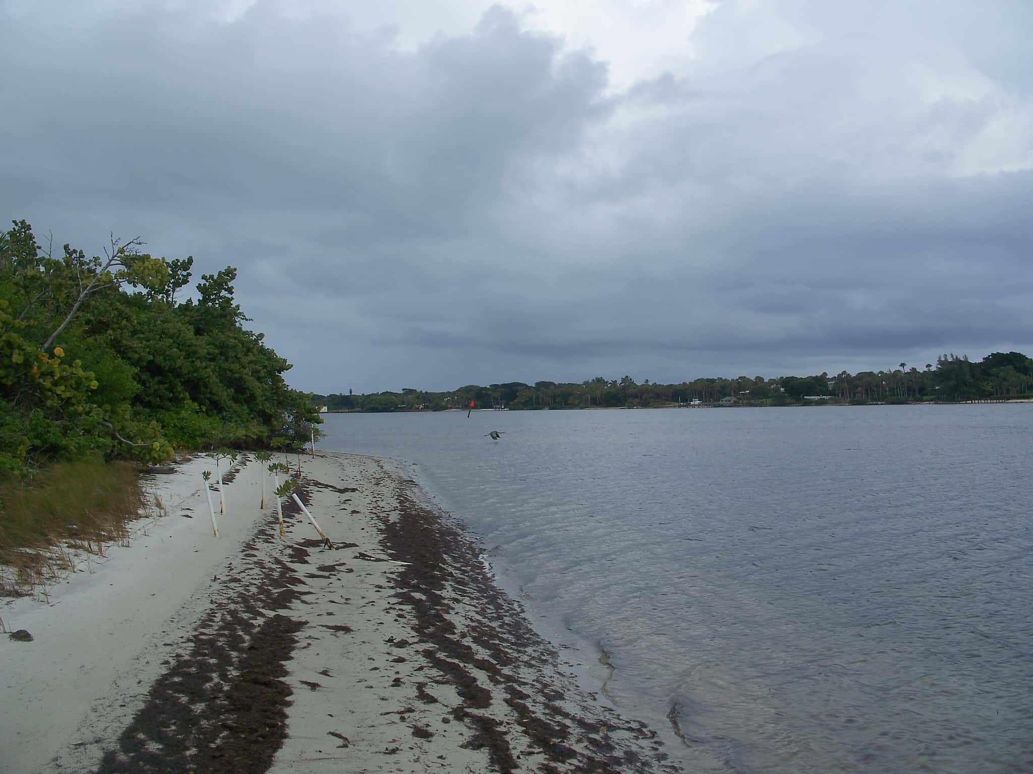
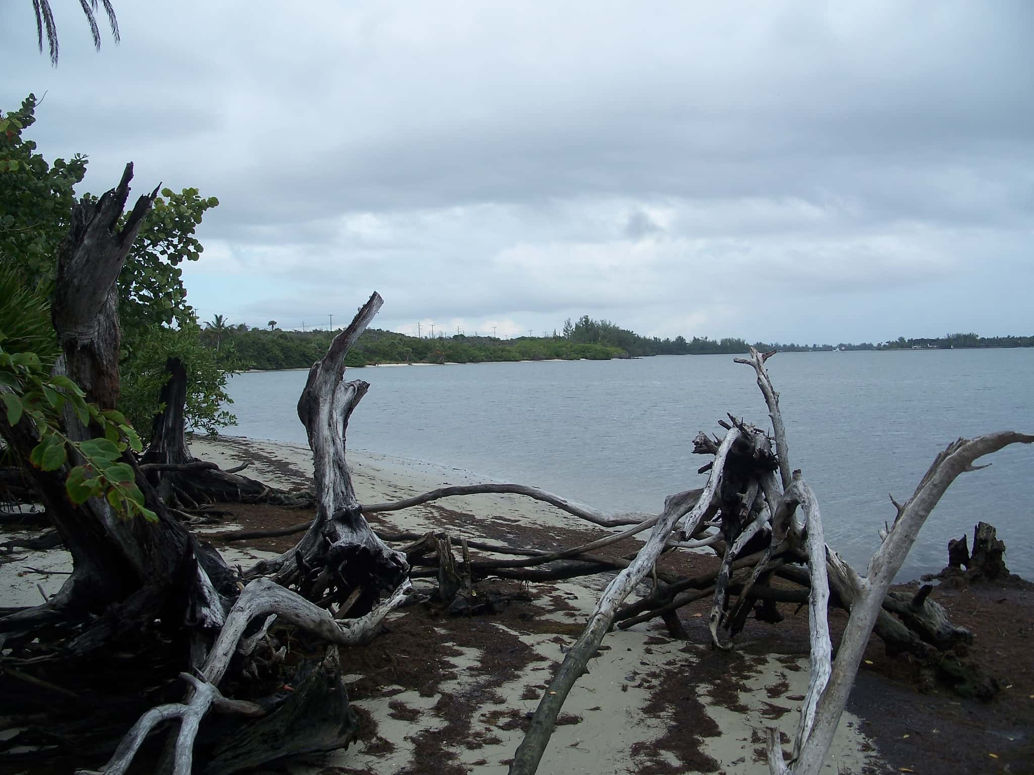
Hobe Sound: depth and water quality
The estuary
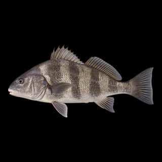
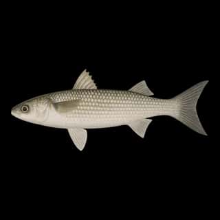
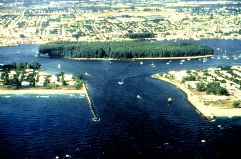
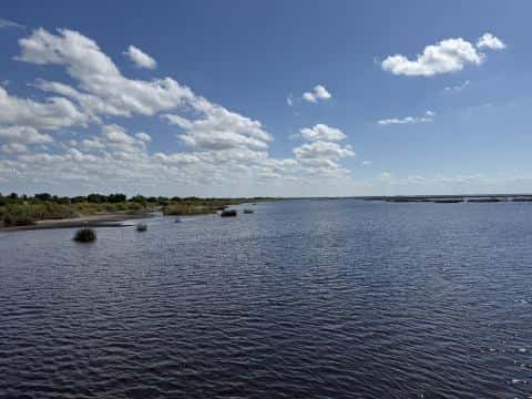
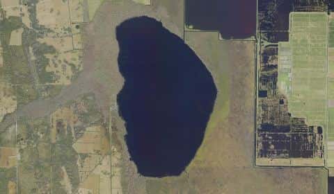
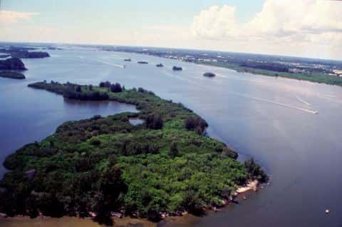
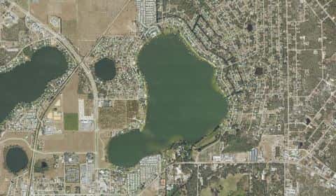
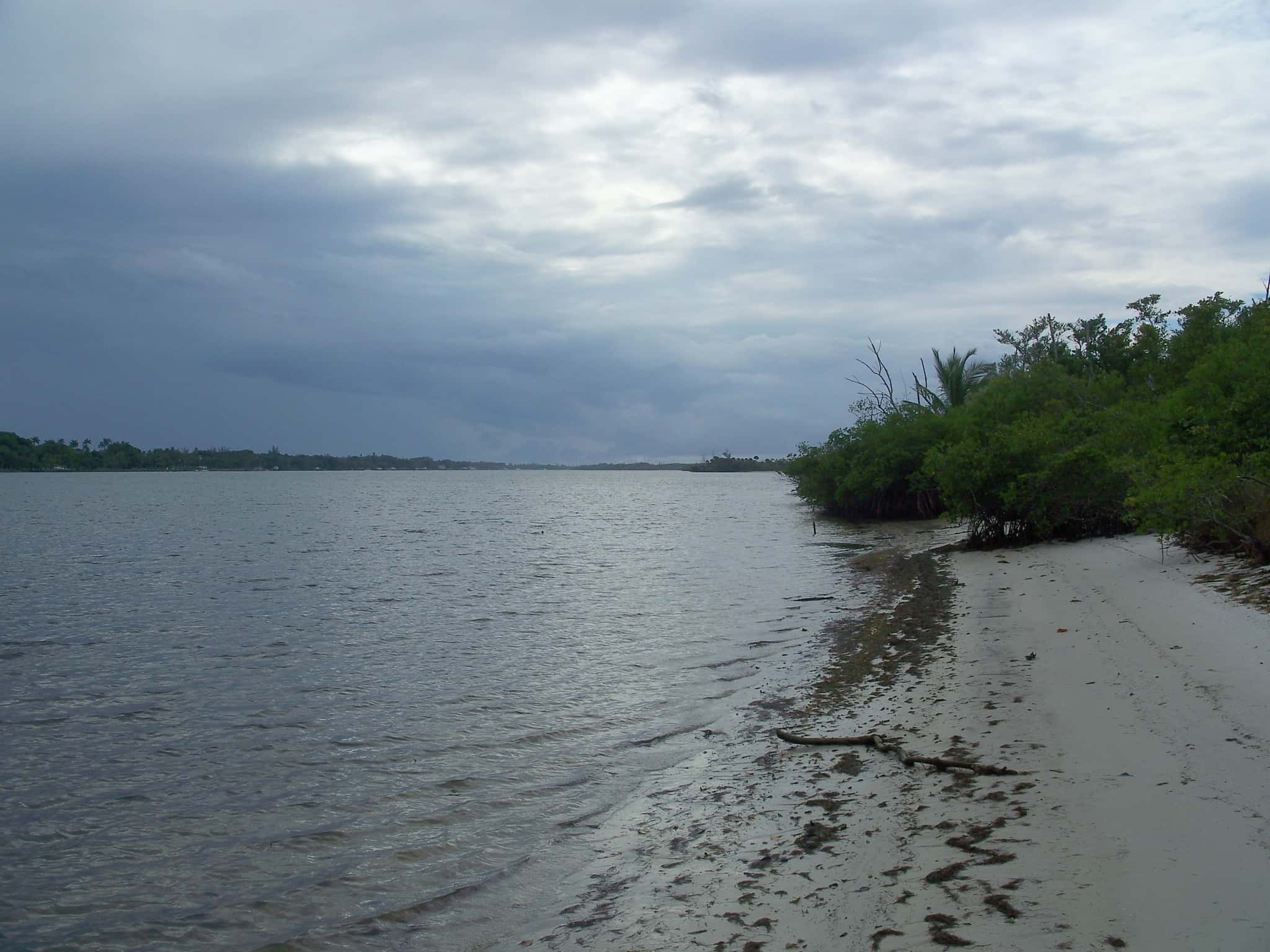
Hobe Sound covers 826 acres in Florida, across Martin County. It is an estuary: the deepest point measured is at least 18 feet (5.5 m). Our records hold 11 species for this water.
Depth and bottom
Deepest measured point: at least 18 ft (5.5 m). That is the deepest contour line: the bottom goes deeper. We hold 307 depth contours for this water, drawn from 6,755 soundings.
Water and conditions
Water clarity runs 3.3–7 feet on our readings, averaging 5.2 feet, from 67 readings. Our water temperature readings average 79°F; they do not cover the whole year, so this is not a yearly average. The coldest single reading we hold is 63°F and the warmest is 90°F; the warmest monthly average is 88°F. pH averages 7.9. These readings span 2016–2025.
Ramps and access
On this water we hold 1 fishing pier.
Fishing piers
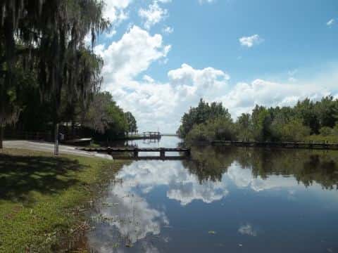
- Greenfield Park — no fee, daylight hours, fish-cleaning table, drinking water, monofilament recycling bin, wheelchair access. Hobe Sound, Martin County. SE Cabot St, Hobe Sound 33455
The place listed has no fee or opening hours on file: a blank means we hold no such field, not that it is free or always open, and this list may not be complete.
What is hard here
Summer water sits at 88°F: heat and afternoon lightning are the real risks, not the fishing.
Where this data comes from
- NOAA Digital Coast — NOAA Digital Coast bathymetric lidar: class A, a survey of the bottom, 2018.
- NOAA BlueTopo: class A, a survey of the bottom.
- NOAA National Bathymetric Source (S-102 ed3.0.0) — NOAA S-102 bathymetric surfaces: contours: class A, a survey of the bottom.
- NOAA ENC — NOAA Electronic Navigational Charts: soundings: class A, a survey of the bottom.
- NOAA ENC — NOAA Electronic Navigational Charts: depth contours: class A, a survey of the bottom.