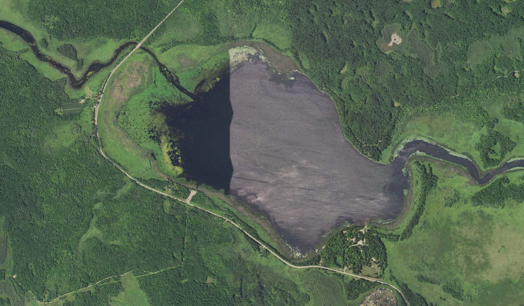
Shakopee Lake fishing: Northern Pike, Largemouth Bass, Walleye
Target species: Northern Pike, Largemouth Bass, Walleye, Smallmouth Bass, Channel Catfish, Black Bullhead, Shorthead Redhorse
Boat: 1 ramp or launch on file for this water.
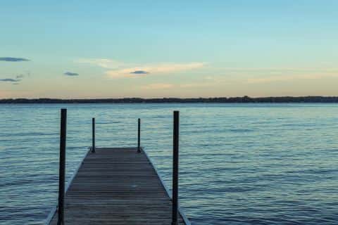
Start here: Launch at Shakopee Lake Public Water Access Site, 1 lane.
The lake
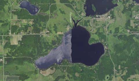
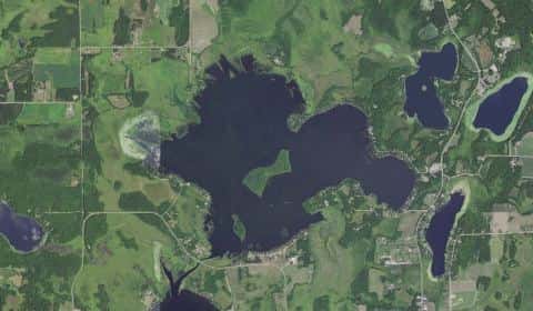
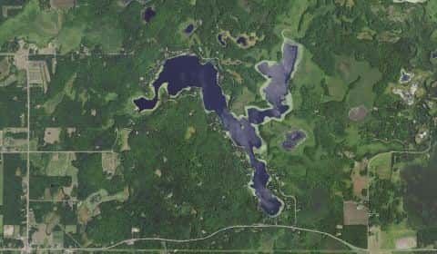
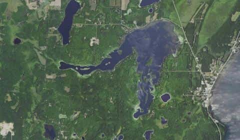
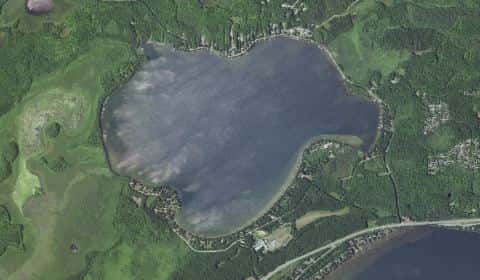
Shakopee Lake covers 625 acres in Minnesota, across Mille Lacs County. It is a lake: the deepest point measured is at least 10 feet (3 m). Our records hold 17 species for this water.
7 target fish, led by Northern Pike
- Northern Pike — Feeding water: 50–75°F.
- Largemouth Bass — Feeding water: 65–85°F.
- Walleye — Feeding water: 50–75°F.
- Smallmouth Bass — Feeding water: 60–75°F.
- Channel Catfish — Feeding water: 70–85°F.
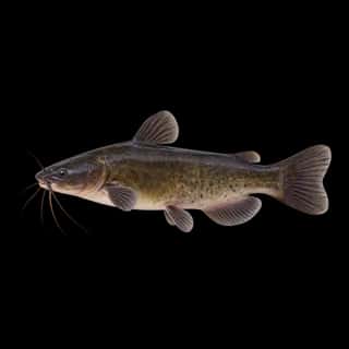
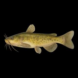
- Black Bullhead — Feeding water: 70–80°F.
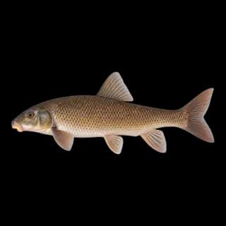
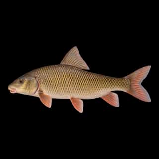
- Shorthead Redhorse — Feeding water: 60–75°F.
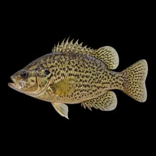
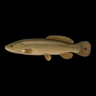
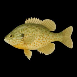
Also recorded here: White Sucker, Black Crappie, Bluegill, Rock Bass, Yellow Perch, Pumpkinseed, Bowfin, Brown Bullhead, Yellow Bullhead, Common Carp.
Depth and bottom
Deepest measured point: at least 10 ft (3 m). That is the deepest contour line: the bottom goes deeper. We hold 19 depth contour lines for this water.
- 0–1 ft: 16.2% of the water
- 1–2 ft: 10% of the water
- 2–3 ft: 7.9% of the water
- 3–4 ft: 6.8% of the water
- 4–5 ft: 6.6% of the water
- 5–6 ft: 6.7% of the water
- 6–8 ft: 9.1% of the water
- 8–10 ft: 36.8% of the water
1 ramp or launch on this water
On this water we hold 1 trailer ramp.
- Shakopee Lake Public Water Access Site — 1 lane, restrooms. DNR Division of Parks and Trails.
The place listed has no fee or opening hours on file: a blank means we hold no such field, not that it is free or always open, and this list may not be complete.
What is hard here
Only 1 public ramp is on file, so the launch decides where you fish.
Where this data comes from
- Minnesota DNR — Minnesota DNR: depth contours: class A, a survey of the bottom.
- Minnesota DNR — Minnesota DNR: reported depths: class B, a depth figure measured and published by an agency, without a bottom map.
- Webster, K.E., McCullough, I.M., Soranno, P.A. LAGOS-US DEPTH v1.0, EDI, doi:10.6073/pasta/64ddc4d04661d9aef4bd702dc5d8984f (CC BY 4.0); Cheruvelil et al. LAGOS-US LOCUS v1.0 (EDI) — LAGOS-US DEPTH v1.0: Lake depth for 17,675 lakes in the conterminous U.S.: class B, a depth figure measured and published by an agency, without a bottom map.