Lake Charlevoix fishing: Smallmouth Bass, Rainbow Trout, Atlantic Salmon
Target species: Smallmouth Bass, Rainbow Trout, Atlantic Salmon, Walleye, Lake Whitefish, Cisco, Brown Trout
Boat: 14 ramps and launches on file for this water.
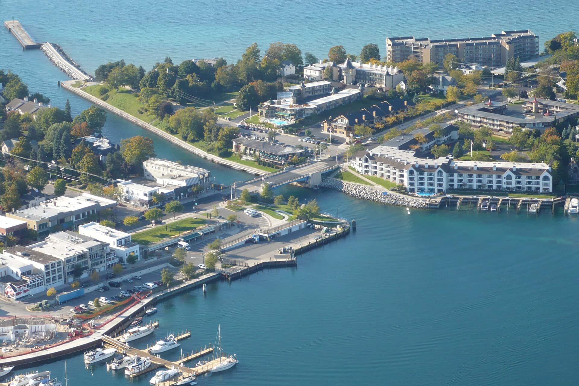
Start here: Launch at Ferry Beach, 4 lanes.
The lake
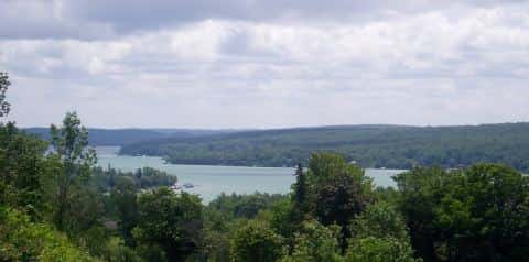
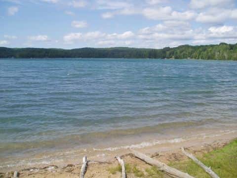
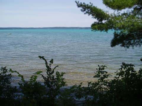
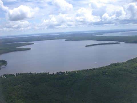
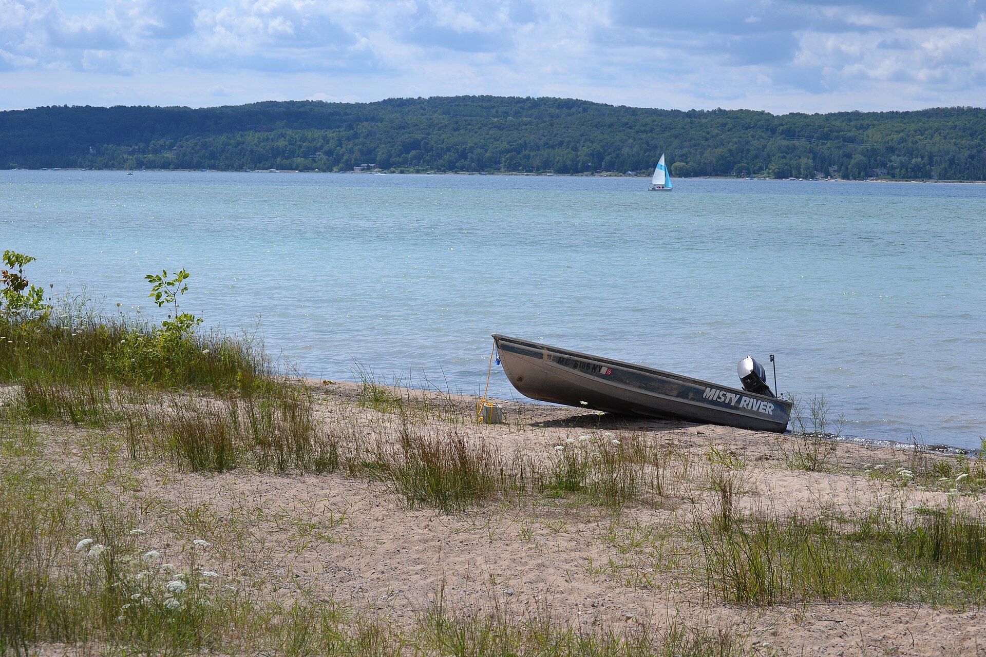
Lake Charlevoix covers 17,213 acres in Michigan, across Charlevoix County. It is a lake: the deepest point measured is at least 122 feet (37.2 m). Our records hold 9 species for this water.
Depth and bottom
Deepest measured point: at least 122 ft (37.2 m). That is the deepest contour line: the bottom goes deeper. We hold 298 depth contours for this water, drawn from 1,899 soundings.
- 0–10 ft: 10.1% of the surveyed bottom
- 10–20 ft: 8.6% of the surveyed bottom
- 20–30 ft: 14% of the surveyed bottom
- 30–40 ft: 7.6% of the surveyed bottom
- 40–50 ft: 7.8% of the surveyed bottom
- 50–60 ft: 7.3% of the surveyed bottom
- 60–70 ft: 7.5% of the surveyed bottom
- 70–80 ft: 8.8% of the surveyed bottom
- 80–90 ft: 10.1% of the surveyed bottom
- 90–100 ft: 8.3% of the surveyed bottom
- 100–110 ft: 8.3% of the surveyed bottom
- 110–120 ft: 1.7% of the surveyed bottom
7 target fish, led by Smallmouth Bass
- Smallmouth Bass — Feeding water: 60–75°F.
- Rainbow Trout — Feeding water: 50–65°F.
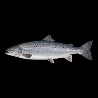
- Atlantic Salmon — Feeding water: 45–60°F.
- Walleye — Feeding water: 50–75°F.
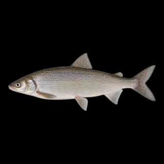
- Lake Whitefish — Feeding water: 40–55°F.
- Cisco — Feeding water: 40–60°F.
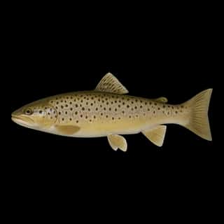
- Brown Trout — Feeding water: 50–65°F.
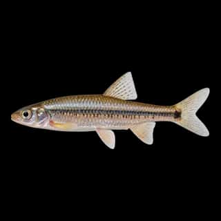
Also recorded here: Lake Trout, Spottail Shiner.
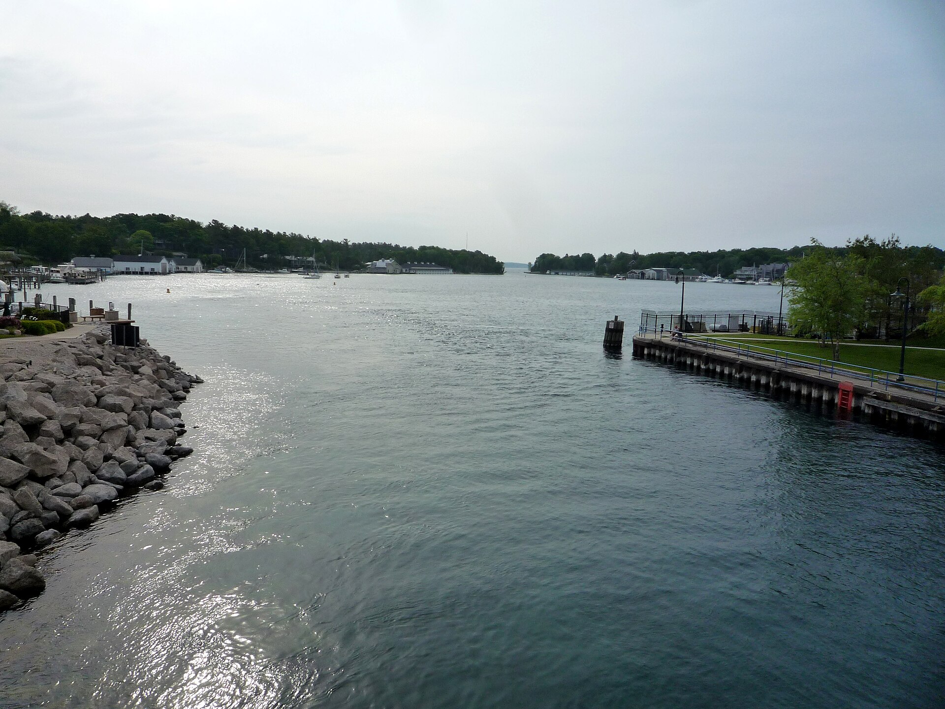
14 ramps and launches on this water
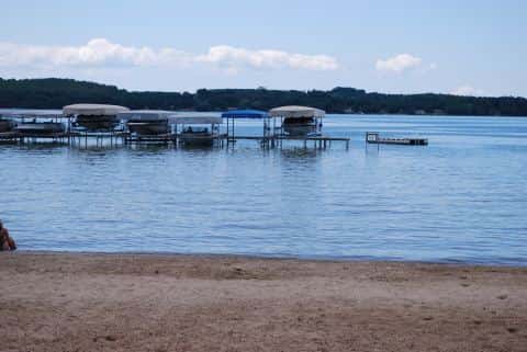
On this water we hold 8 trailer ramps and 6 boat ramps.
- Charlevoix Yacht Club — Charlevoix, Charlevoix Yacht Club. 209 Ferry Avenue, Charlevoix 49720 · website charlevoixyachtclub.org
- Northwest Marina Yacht Club — Charlevoix, Northwest Marina Yacht Club. 202 Ferry Avenue, Charlevoix 49720 · website nwmyc.com
- Ferry Beach — 4 lanes. City of Charlevoix. phone 231-547-2101
- Ironton — 4 lanes, open 4am–11pm, restrooms. Young State Park. phone 231-582-7523
- Boyne City — 2 lanes. phone 231-582-6597
- Camp Sea-Gull Park — 2 lanes, restrooms. Hayes Township. phone 231-547-6961
- Dutchman's Bay — 2 lanes, open 4am–11pm, restrooms. Young State Park. phone 231-582-7523
- Tourist Park — 2 lanes. phone 231-536-2561
- Whiting Park — 2 lanes. Charlevoix County. phone 231-582-7040
- Young State Park — 1 lane, open 8am–10pm. Young State Park. phone 231-582-7523
Fee and opening hours are blank for all 10 places in this list: a blank means we hold no such field, not that it is free or always open, and this list may not be complete.
Water and conditions
Our water temperature readings average 60°F; they do not cover the whole year, so this is not a yearly average. pH averages 8.2. These readings span 2018–2025.
Stocking: 200,122 fish in 2018
USFWS/GLFC records list 200,122 fish released into this water in 2018. The latest stocking on record is from 2018, more than three years ago.
- Walleye: 200,122 in 2018
What is hard here
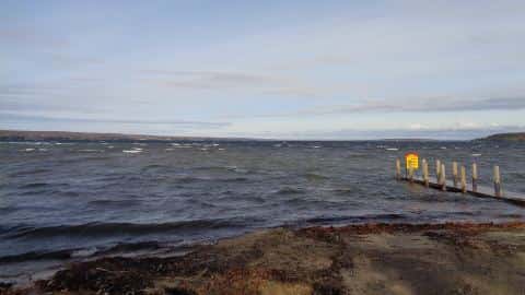
Wind is the limit, not the fish: 17,213 acres of open water build a short steep chop, and there is no shelter in the middle.
Where this data comes from
- NOAA ENC — NOAA Electronic Navigational Charts: soundings: class A, a survey of the bottom.
- NOAA National Geodetic Survey / Office for Coastal Management — NOAA topobathymetric lidar DEMs: class A, a survey of the bottom, 2019.
- Michigan EGLE — Michigan EGLE: depth contours: class A, a survey of the bottom.
- NOAA ENC — NOAA Electronic Navigational Charts: depth contours: class A, a survey of the bottom.
- NOAA National Bathymetric Source (S-102 ed3.0.0) — NOAA S-102 bathymetric surfaces: contours: class A, a survey of the bottom.
- Webster, K.E., McCullough, I.M., Soranno, P.A. LAGOS-US DEPTH v1.0, EDI, doi:10.6073/pasta/64ddc4d04661d9aef4bd702dc5d8984f (CC BY 4.0); Cheruvelil et al. LAGOS-US LOCUS v1.0 (EDI) — LAGOS-US DEPTH v1.0: Lake depth for 17,675 lakes in the conterminous U.S.: class B, a depth figure measured and published by an agency, without a bottom map.