Pensacola Bay: depth, boat ramps and water quality
Boat: 25 ramps and launches on file for this water.
Start here: Launch at Mahogany Mill Public Boat Ramp, 5 lanes, concrete.
The estuary
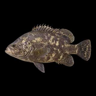
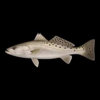
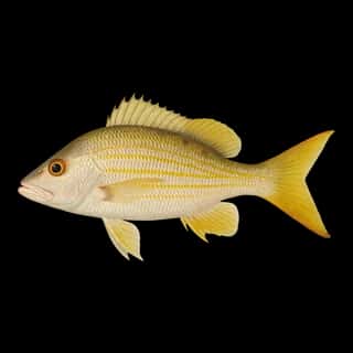
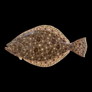
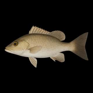
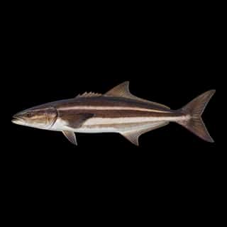
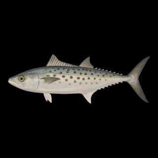
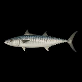
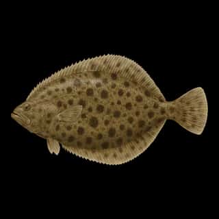
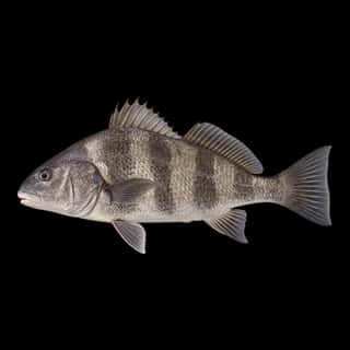
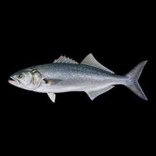
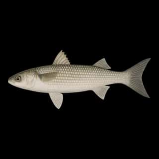
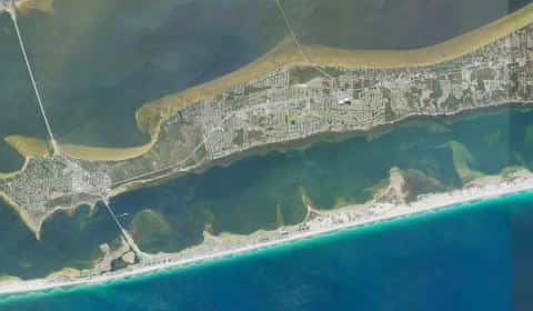
Pensacola Bay covers 39,601 acres in Florida, across 2 counties: Escambia and Santa Rosa. It is an estuary: the deepest point measured is 75.3 feet (23 m). Our records hold 17 species for this water.
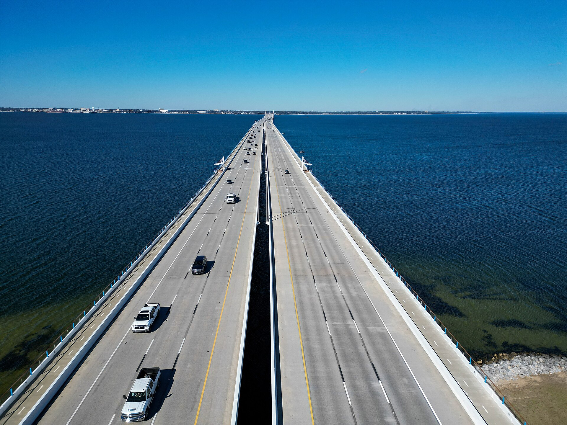
Depth: down to 75.3 ft at the deepest measured point
Deepest measured point: 75.3 ft (23 m). We hold 12 depth contours for this water, drawn from 480,799 soundings.
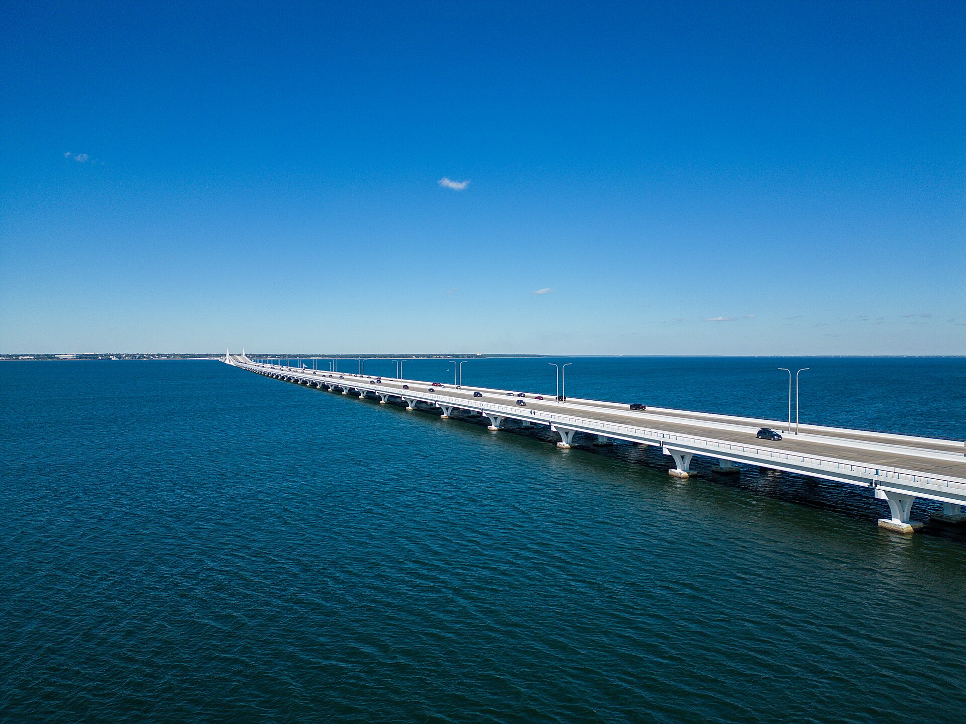
25 ramps and launches on this water
On this water we hold 14 trailer ramps, 1 boat ramp, 10 hand launches, 11 fishing piers and 1 shore access point.
- Gulf Breeze Shoreline Park Boat Ramp — 4 lanes, concrete, parking for 42 trailers (paved), paid, open around the clock, flush restrooms, dock, lit for night fishing, restrooms, wheelchair access. Gulf Breeze, City of Gulf Breeze. 800 Shoreline Drive, Gulf Breeze 32561 · website cityofgulfbreeze.us/parks-and-recreation-department/shoreline-south
- Bayou Texar Public Boat Ramp — 4 lanes, concrete, parking for 32 trailers (paved), paid, open around the clock, portable restrooms, dock, lit for night fishing. Pensacola, City of Pensacola. 2700 East Cervantes Street, Pensacola 32503 · website cityofpensacola.com/Facilities/Facility/Details/Bayou-Texar-Boat-Ramp-20
- Bayview Park Boat Ramp — 2 lanes, concrete, parking for 21 trailers (paved), paid, open around the clock, dock, needs repair. Pensacola, City of Pensacola. 2001 East Lloyd Street, Pensacola 32503 · website cityofpensacola.com/facilities/facility/details/bayviewpark-21
- City of Pensacola 17th Street Public Boat Ramp — 2 lanes, concrete, parking for 14 trailers (paved), paid, open around the clock, portable restrooms, dock, lit for night fishing. Pensacola, City of Pensacola. 1401 East Gregory Street, Pensacola 32502 · website cityofpensacola.com/132/Parks-Recreation
- Sanders Beach Recreation Complex — 2 lanes, concrete, parking for 11 trailers (paved), paid, open around the clock, portable restrooms, dock, needs repair. Pensacola, City of Pensacola. 913 South I Street, Pensacola 32502 · website cityofpensacola.com/facilities/facility/details/sandersbeachpark-77
- Gulf Breeze Wayside Park West — 1 lane, concrete, parking for 36 trailers (paved), paid, open around the clock, dock, lit for night fishing. Gulf Breeze, City of Gulf Breeze. ~11 Gulf Breeze Highway (U.S. Highway 98) 32561 · website cityofgulfbreeze.us/parks-and-recreation-department
- Bill Dickson Park and Boat Ramp — 1 lane, concrete, parking for 23 trailers (paved), no fee, open around the clock, portable restrooms, dock, lit for night fishing. Pensacola, Escambia County. 3148 Fenceline Road, Pensacola 32507 · website myescambia.com/our-services/natural-resources-management/marine-resources/boating-information
- Navy Point Public Boat Ramp — 4 lanes, concrete, parking for 48 trailers (paved), no fee, open around the clock, portable restrooms, dock, lit for night fishing, wheelchair access. Pensacola, Escambia County. Sunset Avenue and SE Syrcle Drive, Pensacola 32507 · website myescambia.com/our-services/natural-resources-management/marine-resources/boating-information
- Oriole Beach Public Boat Ramp — 2 lanes, concrete, parking for 34 trailers (firm unpaved), no fee, open around the clock, portable restrooms, dock, lit for night fishing, needs repair. Gulf Breeze, Santa Rosa County. 3165 Linden Avenue, Gulf Breeze 32563 · website santarosa.fl.gov/Facilities/Facility/Details/Oriole-Beach-Boat-Ramp-36
- Bal Alex Public Boat Ramp — 1 lane, concrete, parking for 5 trailers (firm unpaved), no fee, open around the clock, portable restrooms, dock. Gulf Breeze, Santa Rosa County. 4180 Sandy Bluff Drive, Gulf Breeze 32563 · website santarosa.fl.gov/Facilities/Facility/Details/Bal-Alex-Boat-Ramp-23
Car-top and kayak launches — no trailer
- Archie Glover Park Paddlecraft Launch — hand launch, dock, parking for 12 trailers (firm unpaved), no fee, open around the clock, flush restrooms, dock, wheelchair access. Milton, Santa Rosa County. 2306 North 14th Avenue, Milton 32583 · website santarosa.fl.gov/Facilities?clear=True
- Bayview Park Paddlecraft Launch Dock — hand launch, dock, parking for 21 trailers (paved), paid, open around the clock, dock, lit for night fishing. Pensacola, City of Pensacola. 2001 E Lloyd St, Pensacola 32503 · phone (850) 436-5552 · website cityofpensacola.com/facilities/facility/details/bayviewpark-21
- Bruce Beach Natural Area Kayak Launch — hand launch. Pensacola, City of Pensacola. 601 West Main Street, Pensacola 32502 · website cityofpensacola.com/132/Parks-Recreation
- Civitan Park Paddlecraft Launch — hand launch, parking for 15 cars, no fee, portable restrooms, dock. Pensacola, Escambia County. 404 2nd Street, Pensacola 32507 · website myescambia.com/our-services/natural-resources-management/marine-resources/boating-information
- Escribano Point Wildlife Management Area - Bayside Kayak Beach — hand launch, sand, parking for 6 cars, no fee. Eglin Afb, Florida Fish and Wildlife Conservation Commission. OLF Choctaw Field, Eglin Afb 32542 · website myfwc.com/recreation/lead/escribano-point
- Escribano Point Wildlife Management Area - Creekside Kayak Beach — hand launch, sand, parking for 4 cars, no fee. Eglin Afb, Florida Fish and Wildlife Conservation Commission. OLF Choctaw Field, Eglin Afb 32542 · website myfwc.com/recreation/lead/escribano-point
- Jaunita Williams Park Kayak Launch Dock — hand launch, parking for 16 cars. Pensacola, Escambia County. website myescambia.com/our-services/natural-resources-management/marine-resources/boating-information
- Pensacola Beach Park West Kayak Access — hand launch, sand, parking for 280 cars, no fee, portable restrooms. Gulf Breeze, Santa Rosa Island Authority. 1336 Fort Pickens Road, Gulf Breeze 32561 · website sria-fla.com
Fishing piers
- Civitan Park — no fee, daylight hours, restrooms, drinking water. Warrington/Pensacola, Escambia County. 404 2nd Street, Warrington/Pensacola 32507
- Gulf Islands National Seashore - Fort Pickens Fishing Pier — park entry fee, open 8am–5pm, restrooms, drinking water. Gulf Breeze, National Park Service. 1400 Fort Pickens Road, Gulf Breeze 32563
- NAS Pensacola - Shermans Cove — no fee, open 6am–6pm. On Sherman Cove, Nas Pensacola, U. S. Navy. 3541 Radford Blvd., Bldg. 4151, Nas Pensacola 32508
- NAS Pensacola - Ski Beach — no fee. Nas Pensacola, U. S. Navy. John Towers Road, Bldg. 3487, Nas Pensacola 32508
- Old Bob Sikes Bridge Fishing Pier - North — no fee, open around the clock, lit for night fishing. Gulf Breeze, FL Department of Transportation. 380 Pensacola Beach Rd, Gulf Breeze 32561
- Pensacola Bay Bridge Wayside Park — no fee, open around the clock, restrooms. Gulf Breeze. 120 Gulf Breeze Pkwy 32561
- Pensacola Beach Fishing Pier — paid, lit for night fishing, bait and tackle on site, restrooms, monofilament recycling bin. Pensacola Beach, City of Pensacola Beach. 41 Fort Pickens Road, Pensacola Beach 32561
- Pensacola Fishing Bridge — paid, bait and tackle on site, restrooms, monofilament recycling bin. Pensacola, Escambia County. 1750 Bayfront Parkway, Pensacola 32502
Shore access for bank fishing
- Park West Canoe & Kayak Launch — restrooms. Pensacola Beach, Escambia County. ~1400 Fort Pickens Road, Pensacola Beach 32561
13 of the 27 places listed have both a fee and opening hours on file: a blank means we hold no such field, not that it is free or always open, and this list may not be complete.
Water and conditions
Water clarity runs 1.6–9 feet on our readings, averaging 4.7 feet, from 1,083 readings. Water temperature averages 74°F across the year. The coldest single reading we hold is 45°F and the warmest is 97°F; the warmest monthly average is 86°F. pH averages 7.5. These readings span 2016–2025.
Monthly average water temperature: Jan 61°F · Feb 62°F · Mar 65°F · Apr 72°F · May 79°F · Jun 85°F · Jul 86°F · Aug 86°F · Sep 83°F · Oct 78°F · Nov 65°F · Dec 63°F
What is hard here
Wind is the limit, not the fish: 39,601 acres of open water build a short steep chop, and there is no shelter in the middle. Clarity swings from 1.6 to 9 feet between our readings — the water you meet is not the water someone photographed. Summer water sits at 86°F: heat and afternoon lightning are the real risks, not the fishing.
Where this data comes from
- USACE eHydro — USACE eHydro channel surveys: class A, a survey of the bottom.
- NOAA Digital Coast — NOAA Digital Coast bathymetric lidar: class A, a survey of the bottom, 2010.
- NOAA NOS Hydro — NOAA NOS hydrographic survey archive: class A, a survey of the bottom.
- NOAA ENC — NOAA Electronic Navigational Charts: soundings: class A, a survey of the bottom.
- NOAA BlueTopo: class A, a survey of the bottom.
- NOAA National Bathymetric Source (S-102 ed3.0.0) — NOAA S-102 bathymetric surfaces: contours: class A, a survey of the bottom.
- NOAA ENC — NOAA Electronic Navigational Charts: depth contours: class A, a survey of the bottom.