Terry Cove: depth, boat ramps and water quality
Boat: 1 ramp or launch on file for this water.
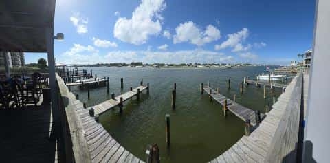
Start here: Launch at Boggy Point Boat Launch - Alabama, 2 lanes, unknown.
The estuary
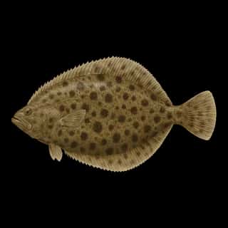
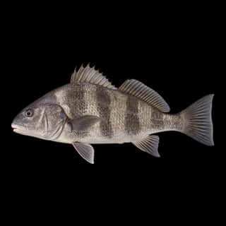
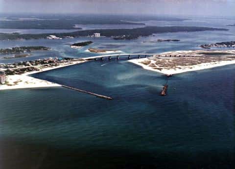
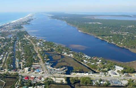
Terry Cove covers 265 acres in Alabama, across Baldwin County. It is an estuary: the deepest point measured is 16.7 feet (5.1 m). Our records hold 12 species for this water. The water crosses into Georgia.
Depth: down to 16.7 ft at the deepest measured point
Deepest measured point: 16.7 ft (5.1 m). We hold 188 depth contours for this water, drawn from 1,694 soundings.
Water and conditions
Our water temperature readings average 78°F; they do not cover the whole year, so this is not a yearly average. The coldest single reading we hold is 52°F and the warmest is 91°F; the warmest monthly average is 87°F. pH averages 8. These readings span 2018–2025.
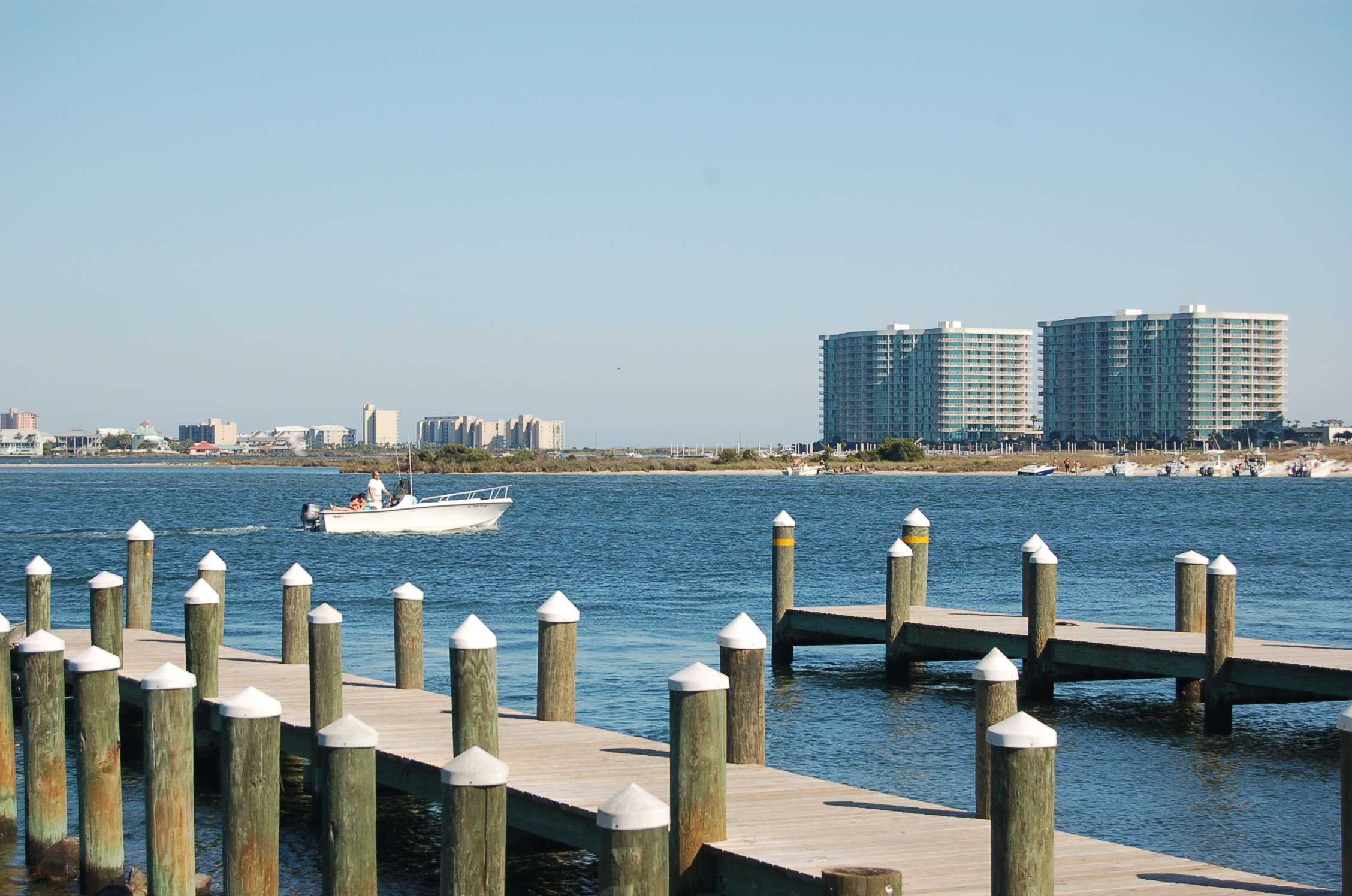
1 ramp or launch on this water
On this water we hold 1 trailer ramp.
- Boggy Point Boat Launch - Alabama — 2 lanes, dock, lit for night fishing, restrooms. Orange Beach, Alabama Department of Conservation and Natural Resources - Marine Division. 27491 Marina Road, Orange Beach 36561 · phone (251) 968-7576 · website outdooralabama.com/boating/coastal-alabama-boating-access
The place listed has no fee or opening hours on file: a blank means we hold no such field, not that it is free or always open, and this list may not be complete.
What is hard here
Only 1 public ramp is on file, so the launch decides where you fish. Summer water sits at 87°F: heat and afternoon lightning are the real risks, not the fishing.
Where this data comes from
- NOAA Digital Coast — NOAA Digital Coast bathymetric lidar: class A, a survey of the bottom.
- NOAA NOS Hydro — NOAA NOS hydrographic survey archive: class A, a survey of the bottom.
- NOAA BlueTopo: class A, a survey of the bottom.
- NOAA National Bathymetric Source (S-102 ed3.0.0) — NOAA S-102 bathymetric surfaces: contours: class A, a survey of the bottom.
- USACE eHydro — USACE eHydro channel surveys: class A, a survey of the bottom.
- NOAA ENC — NOAA Electronic Navigational Charts: depth contours: class A, a survey of the bottom.
- NOAA ENC — NOAA Electronic Navigational Charts: soundings: class A, a survey of the bottom.