Apalachicola Bay: depth, boat ramps and water quality
Boat: 11 ramps and launches on file for this water.
Start here: Launch at Battery Park Boat Ramp, 6 lanes, concrete.
The estuary
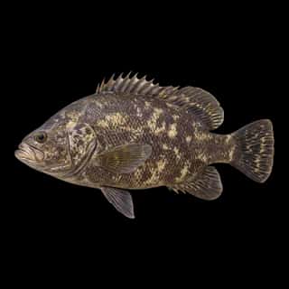
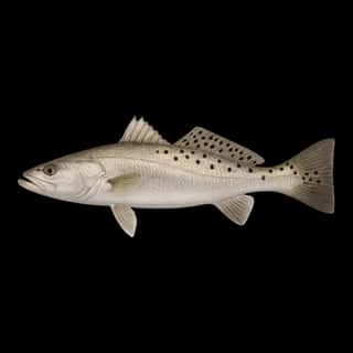
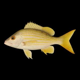
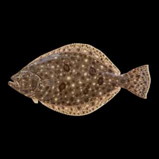
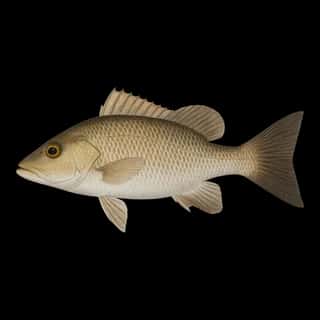
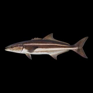
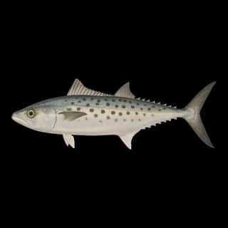
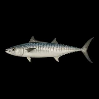
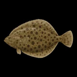
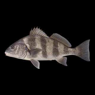
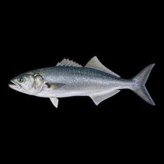
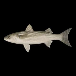
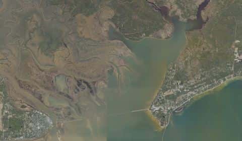
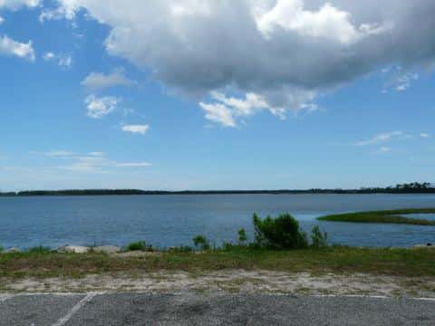
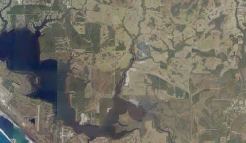
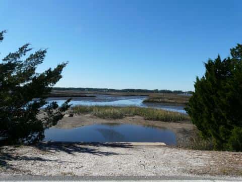
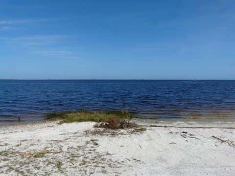
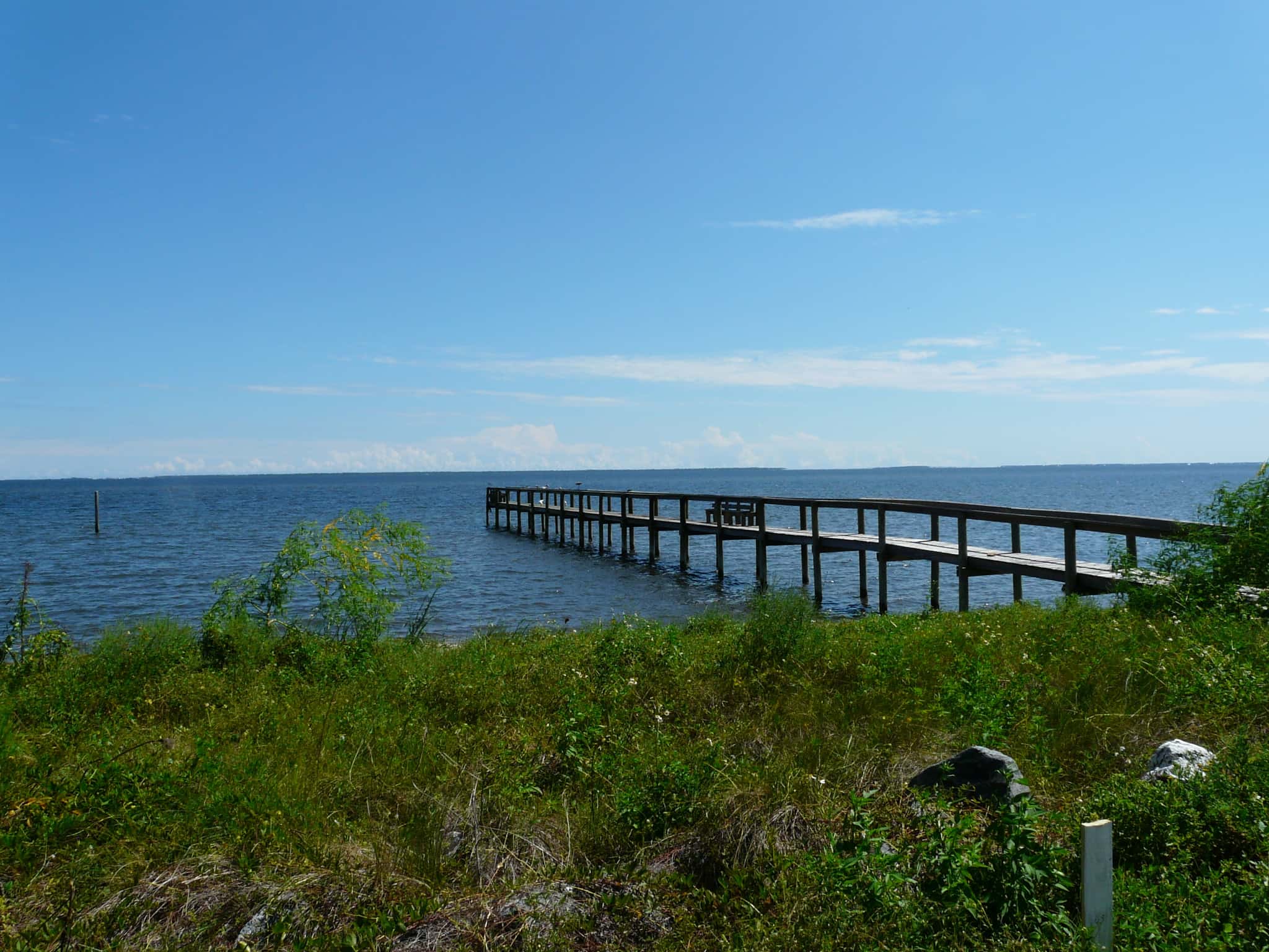
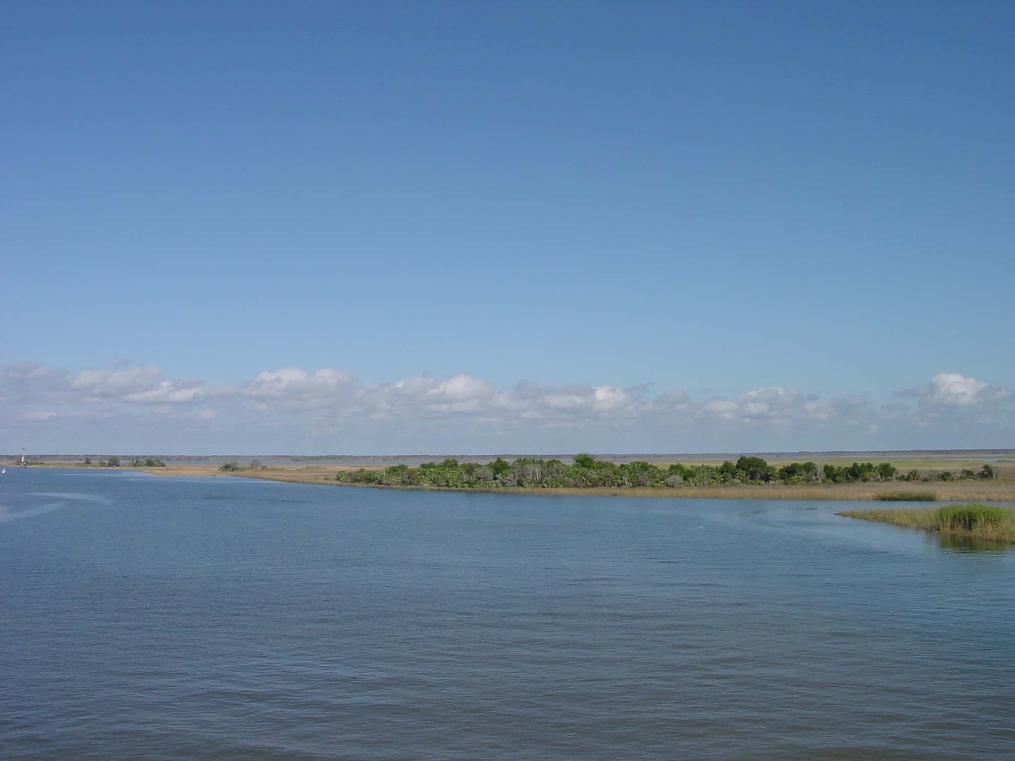
Apalachicola Bay covers 51,948 acres in Florida, across Franklin County. It is an estuary: the deepest point measured is at least 51 feet (15.5 m). Our records hold 17 species for this water.
Depth and bottom
Deepest measured point: at least 51 ft (15.5 m). That is the deepest contour line: the bottom goes deeper. We hold 5,720 depth contours for this water, drawn from 34,969 soundings.
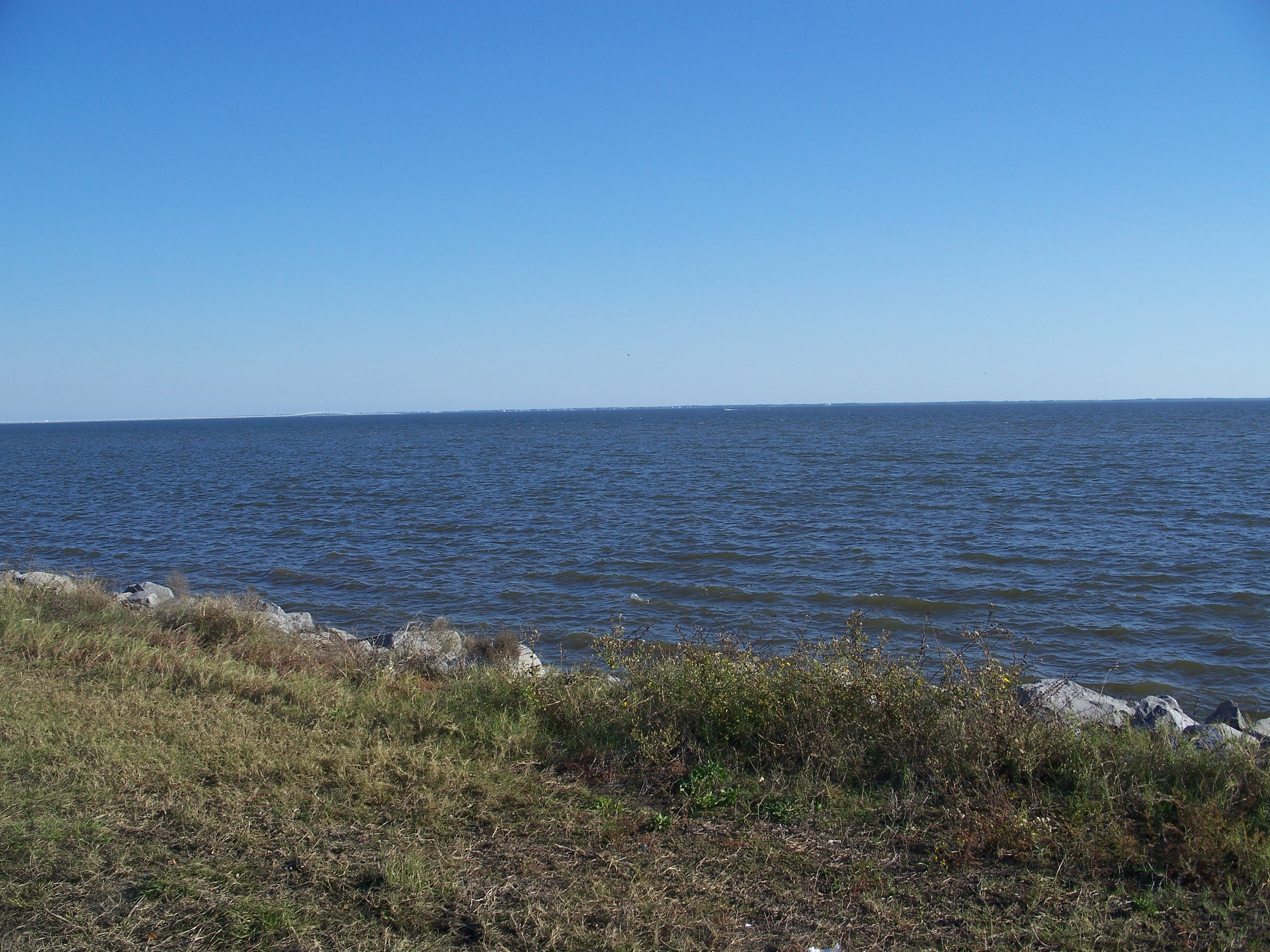
11 ramps and launches on this water
On this water we hold 8 trailer ramps, 3 hand launches and 2 fishing piers.
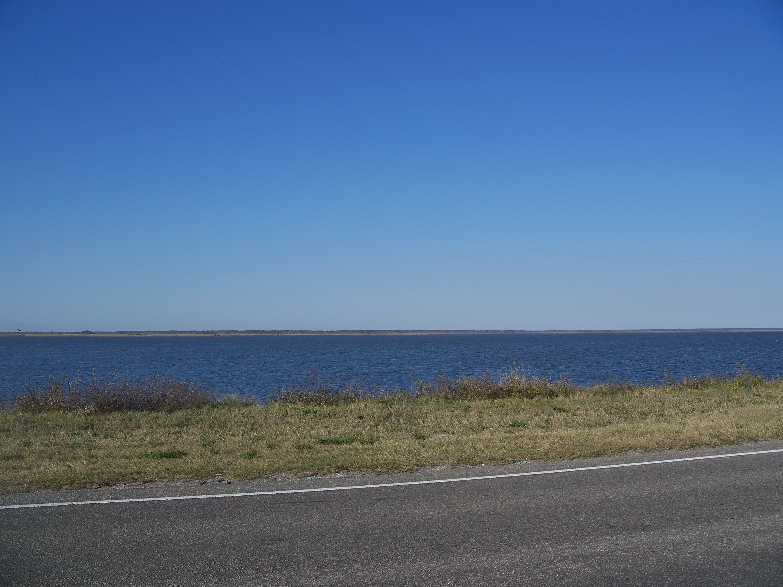
- St. George Island Public Boat Ramp — 1 lane, concrete, parking for 16 trailers (paved), no fee, open around the clock, portable restrooms, dock. Eastpoint, Franklin County. Bryant Patton Bridge - St. George Island Side, Eastpoint 32328 · phone (850) 653-8277 · website franklincountyparks.com/parks-recreation/county-parks
- Battery Park Boat Ramp — 6 lanes, marina, concrete, parking for 36 trailers (firm unpaved), paid, open around the clock, dock, needs repair. Apalachicola, City of Apalachicola. 1 Bay Avenue, Apalachicola 32320 · phone (850) 653-9319 · website cityofapalachicola.com/Recreation.cfm
- Seafood Landing Park & Public Boat Ramp and Kayak Launch — 2 lanes, concrete, parking for 12 trailers (firm unpaved), no fee, flush restrooms, dock. Apalachicola, City of Apalachicola. 628 Highway 98, Apalachicola 32320 · website franklincountyparks.com/parks-recreation/county-parks
- Indian Creek Public Park and Boat Ramps (North Bayshore Drive) — 1 lane, concrete, parking for 18 trailers (soft unpaved), no fee, open around the clock, dock. Eastpoint, Franklin County. 93 North Bayshore Drive, Eastpoint 32328 · phone (850) 653-8577 · website franklincountyparks.com/parks-recreation/county-parks
- John B Meyer Harbor House — 1 lane, concrete, parking for 12 trailers (firm unpaved), no fee, open around the clock, portable restrooms, dock. Apalachicola, City of Apalachicola. 479 Market St, Apalachicola 32320
- Patton Drive Public Boat Ramp — 1 lane, concrete, parking for 5 trailers (paved), no fee, open around the clock, dock. Eastpoint, Franklin County. 340 Patton Drive, Eastpoint 32328 · phone (850) 653-8277 · website franklincountyparks.com/parks-recreation/county-parks
- Indian Creek Public Park and Boat Ramps (Old Ferry Dock) — 1 lane, concrete, parking for 4 trailers (firm unpaved), no fee, open around the clock, needs repair. Eastpoint, Franklin County. 93 North Bayshore Drive, Eastpoint 32328 · phone (850) 653-8577 · website franklincountyparks.com/parks-recreation/county-parks
- Scipio Creek Marina — 1 lane, marina, concrete, portable restrooms. Apalachicola, Private Vendor. 301 Market Street, Apalachicola 32320
Car-top and kayak launches — no trailer
- ANERR - Marion Millender Park Kayak Access — hand launch, sand, parking for 5 cars, no fee. Eastpoint, Florida Department of Environmental Protection. Millender Street, Eastpoint 32328 · website floridadep.gov/ANERR
- Regatta Park Kayak Beach — hand launch, sand, parking for 5 cars, no fee, daylight hours. Eastpoint, Franklin County. 925 West Bayshore Drive, Eastpoint 32328 · phone (850) 653-8277 · website franklincountyparks.com/parks-recreation/county-parks
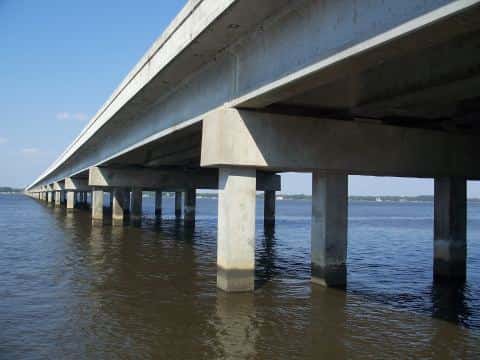
- St. George Island Bridge Kayak Beach — hand launch, sand, parking for 12 cars, no fee, open around the clock. Eastpoint, Franklin County. south end Bryant Patton Bridge, Eastpoint 32328
Fishing piers
- Lafayette Park — no fee, daylight hours. Apalachicola, City of Apalachicola. 170 Avenue B, Apalachicola 32320
- St. George Island Fishing Pier - North — no fee, daylight hours. Eastpoint, City of Eastpoint. 199 Island Dr, Eastpoint 32328
8 of the 13 places listed have both a fee and opening hours on file: a blank means we hold no such field, not that it is free or always open, and this list may not be complete.
Water and conditions
Water temperature averages 75°F across the year. The coldest single reading we hold is 51°F and the warmest is 91°F; the warmest monthly average is 86°F. pH averages 8. These readings span 2016–2025.
Monthly average water temperature: Jan 58°F · Feb 62°F · Mar 66°F · Apr 72°F · May 79°F · Jun 83°F · Jul 86°F · Aug 86°F · Sep 83°F · Oct 79°F · Nov 69°F · Dec 63°F
What is hard here
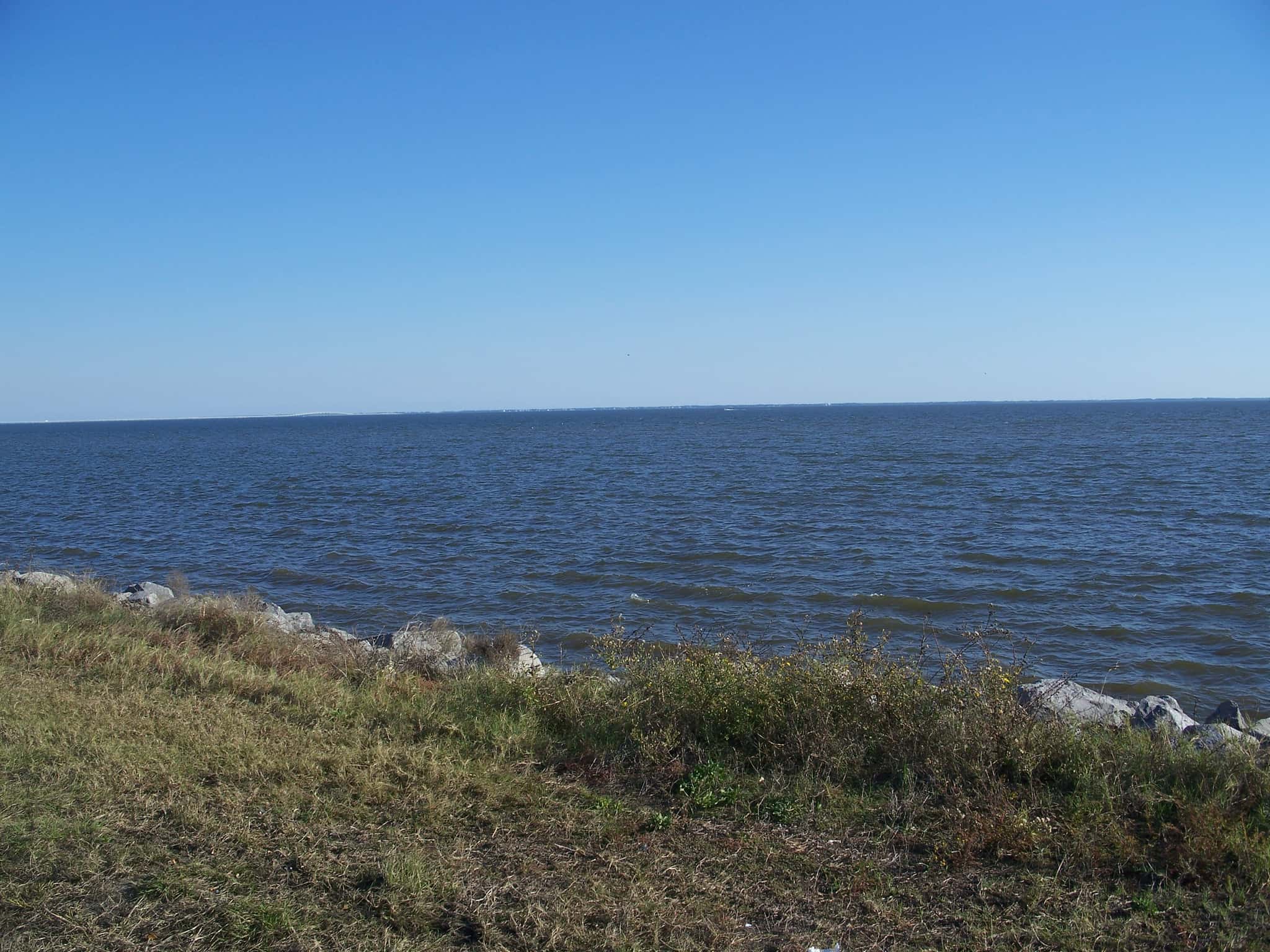
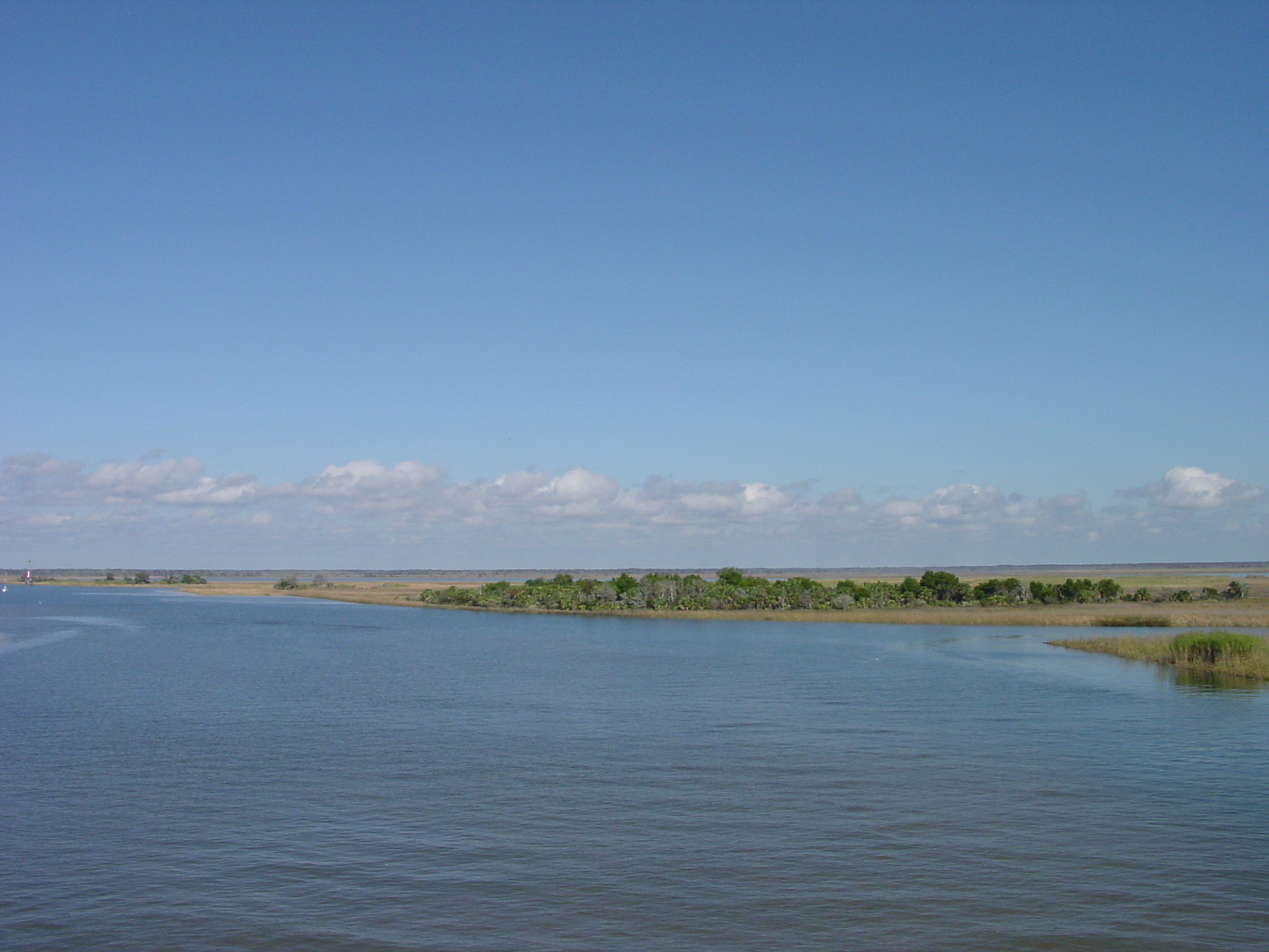
Wind is the limit, not the fish: 51,948 acres of open water build a short steep chop, and there is no shelter in the middle. Winter water drops to 58°F, and the warm-water species stop feeding well before you do. Summer water sits at 86°F: heat and afternoon lightning are the real risks, not the fishing.
Where this data comes from
- NOAA Digital Coast — NOAA Digital Coast bathymetric lidar: class A, a survey of the bottom, 1983.
- USACE eHydro — USACE eHydro channel surveys: class A, a survey of the bottom.
- NOAA National Bathymetric Source (S-102 ed3.0.0) — NOAA S-102 bathymetric surfaces: contours: class A, a survey of the bottom.
- NOAA BlueTopo: class A, a survey of the bottom.
- NOAA ENC — NOAA Electronic Navigational Charts: soundings: class A, a survey of the bottom.
- NOAA ENC — NOAA Electronic Navigational Charts: depth contours: class A, a survey of the bottom.